This route should distinguish north- and south-bound variations. The Timberline end is ~5800’ higher than the Cascade Locks. So far only a single 1-way FKT has been reported for the harder southbound direction.
We completed the northbound variation in 2015. The standard route follows the PCT. We were not thinking of FKT’s at the time, and our route deviated slightly from the PCT resulting in a slight net gain in mileage and ascent. Deviations:
- Paradise Park Loop trail variation +0.1 mile +100’ ascent
- Buck Peak +1.0 mile +220’ ascent
- Chinidere cutoff at Wahtum Lake var. -1.2 mile +0’ ascent
- Chinidere Mt +0.8 mile +310’ ascent
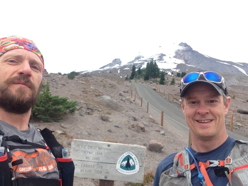
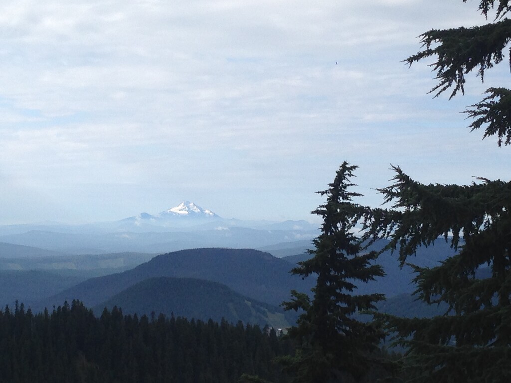
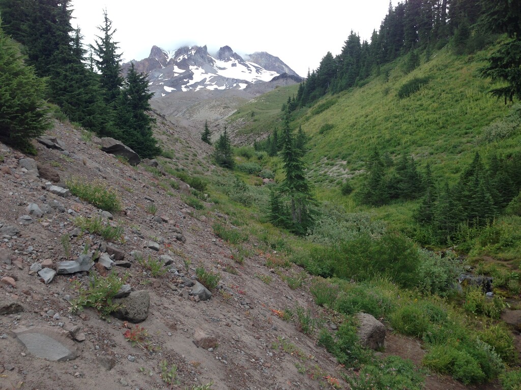
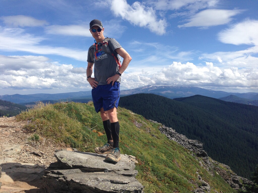
A friend dropped us off at Timberline, and Gary’s spouse would meet us at the finish in Cascade Locks. Weather was perfect, partly cloudy and pleasant temperatures. Trail conditions were also excellent. We chose the Paradise variation for its excellent views and beautiful alpine meadows. Shortly after Lolo Pass we filtered from a small creek as we entered the driest section along the ridge to Wahtum Lake. The Buck Peak side trip was a worthwhile diversion with some unique views and exceptional salmonberries. Buck is the highest point in Multnomah County (where Portland is). The Chinidere Cutoff has a reliable creek near the top. (For runners taking the standard PCT track, it is maybe 1.2 miles longer and more gradual with water options at Wahtum Lake or possible stream crossings if lucky.) We couldn’t resist another side trip to the Chinidere summit, one of the best in the Columbia Gorge with 360 views. The section beyond Chinidere is fun and quite runnable mostly downhill. There is a moderate climb up to the Benson Plateau, then a long descent toward Herman Creek. After the Herman cutoff, the 4 remaining miles look flattish and easy on paper, but are in fact not so easy after 46 miles of running with rough tread and numerous little ups and downs.
This is an excellent route either direction. I'm surprised there aren't more reports for such a classic line. There are many great views, and being the PCT it's well-maintained compared to most other trails in the region. There are many short side-trip options if you're not in a hurry. If desired there are good access points for support at 1/3 and 2/3 (Lolo Pass and Wahtum Lake). Typical years will be snow-free from about late June – through October.