Te Araroa trail is often 'evolving'. For the 2019/20 season the route is 3006 kilometers from Cape Reinga (top of New Zealands North Island) to Bluff (bottom of the South Island).
Trip report: https://www.runteararoa.com/blog
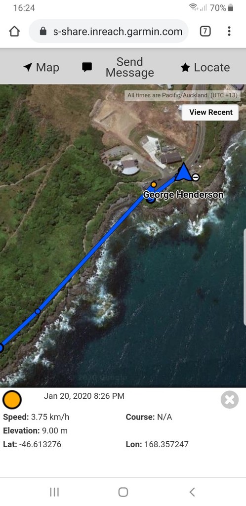
George had an InReach tracker during the run: https://aus-share.inreach.garmin.com/EW7M4
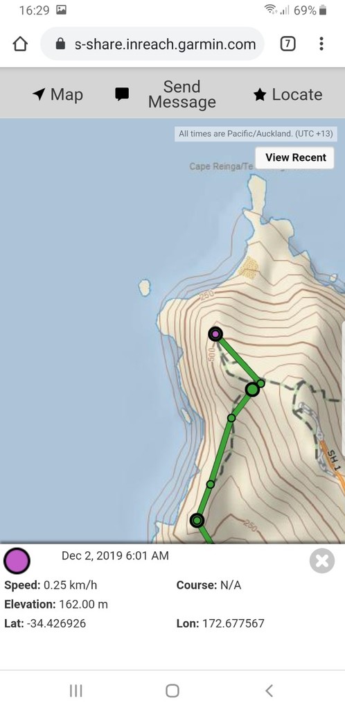
Two blank spots on the garmin mapshare page. (update 'pings' set to send at five minute intervals)
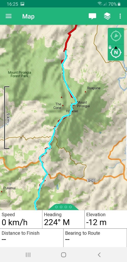
The first through Mt Pirongia. I have attached a screenshot off my earthmate app for verfication (light blue line.) I think perhaps I was 'tracking' but not 'sharing' information by mistake as I changed GPS units (this is why the track goes from green to blue.) Also there is a blank spot mid South Island around the Taramakau river. Unsure what happened here. Perhaps I went to 'lock screen' on the GPS and mistakenly selected 'turn off'. It was a pretty rough day weather and terrain wise and the GPS was on the outside pocket of my backpack, maybe it got too wet or I knocked the unit and it temporarily went out of action.
In Southland particularly the GPS route seems slightly different to the marked route. I elected to follow the clearly marked route as strictly advised in the Te Araroa trail notes (due to this being over private land) and track status/warnings from the Te Araroa App.
Admin Note: This is not strictly comparable to Jez Bragg's time, since Jez did the entire N-S distance self-powered, including paddling across the Cook Straight between the N and S Islands. George shuttled around the several "hazard zones", including the wide, dangerous rivers on the South Island, etc. George's FKT qualifies as the supported FKT for Te Araroa proper.