
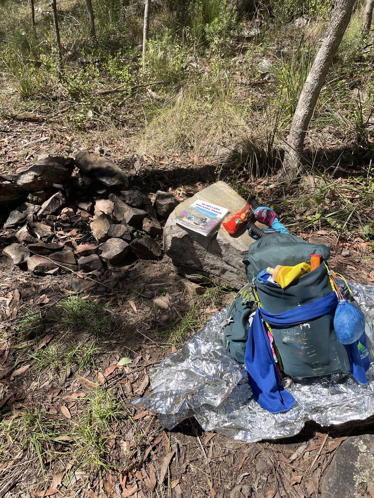


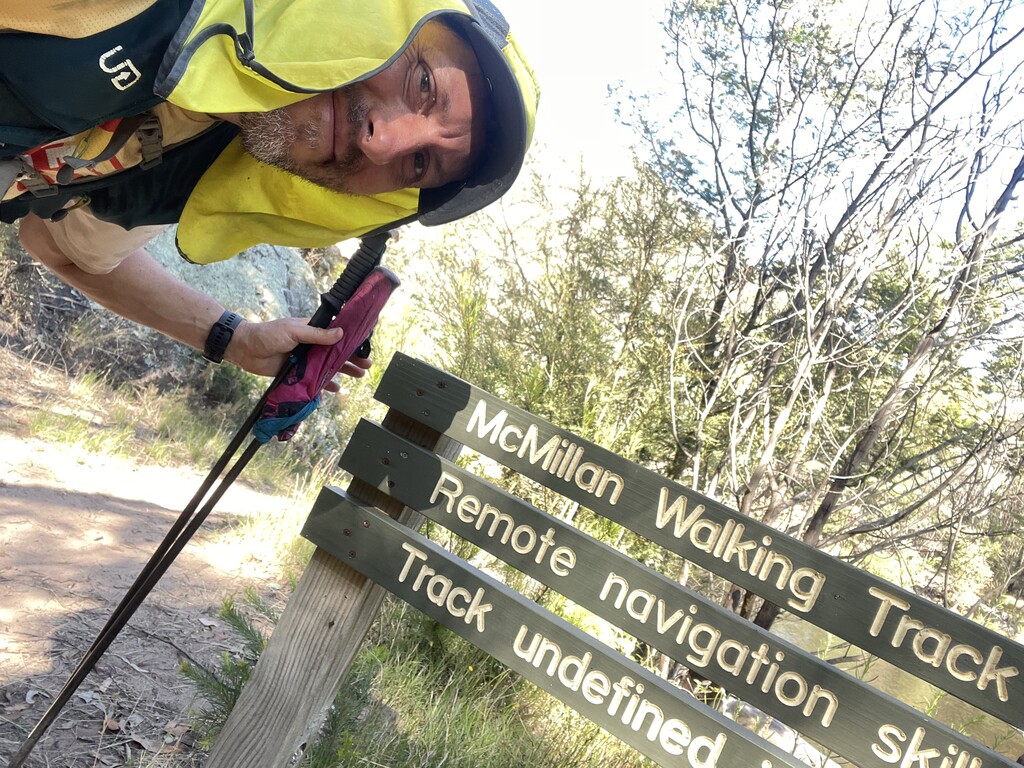

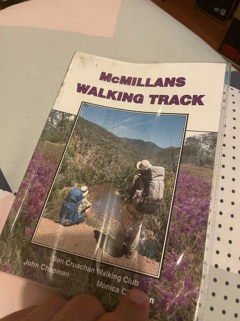

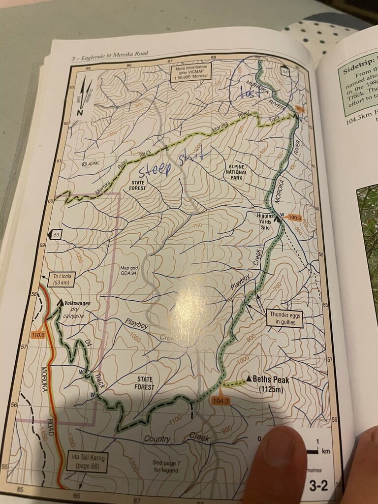
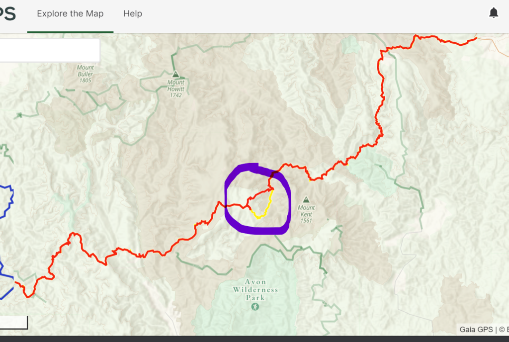
Jason Trimmer 11/09/21 - George has submitted NEW commentary, bolstering the previous FKT report. The report contains the 'alternative route from Moroka river, a steep trail' which joins back up with the main trail - see the attached pictures of the guide book and GPX track also for detail. George advises in the report below that the alternative route from the river seems to be 'safer and easier to navigate'.
REMEMBER THAT THE FKT'ER SHOULD TAKE THE 'FASTEST' ROUTE, EITHER EAST TO WEST, OR WEST TO EAST, ALTERNATIVE ROUTE OR CONVENTIONAL - THERE IS ONLY ONE FKT FOR THIS ROUTE.
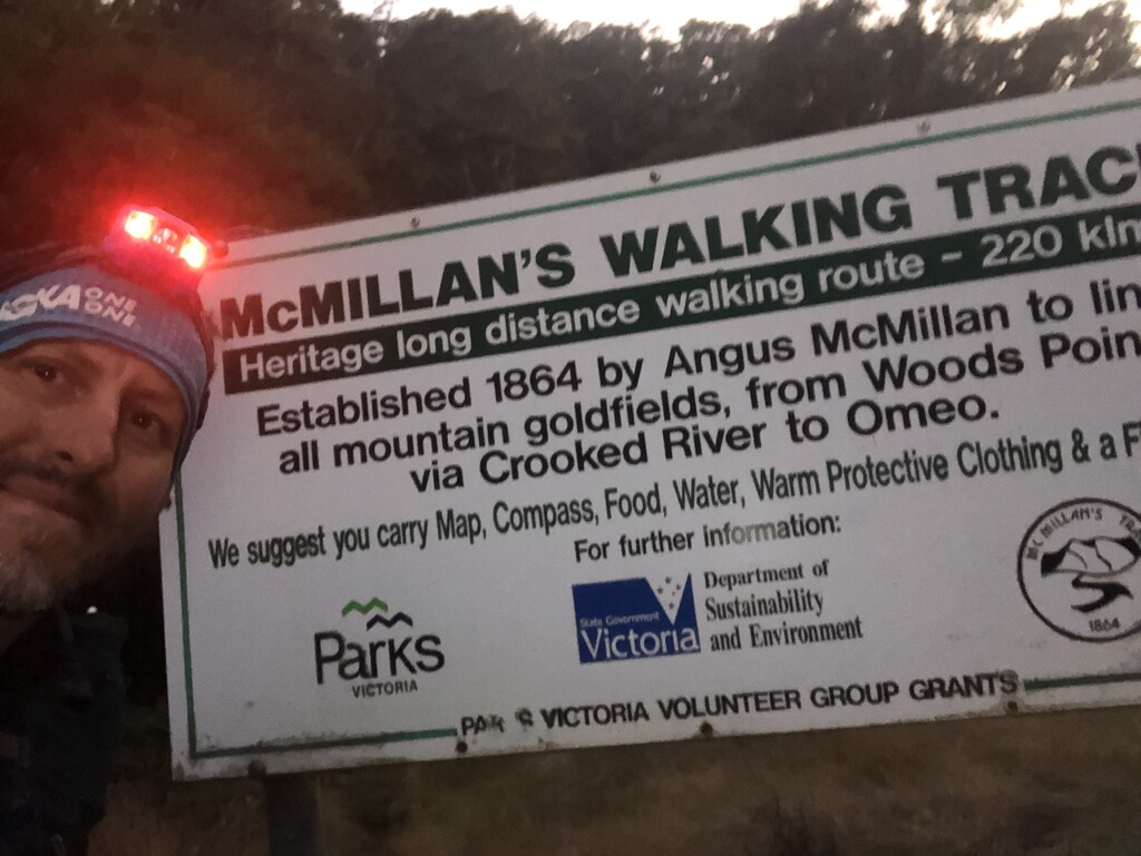
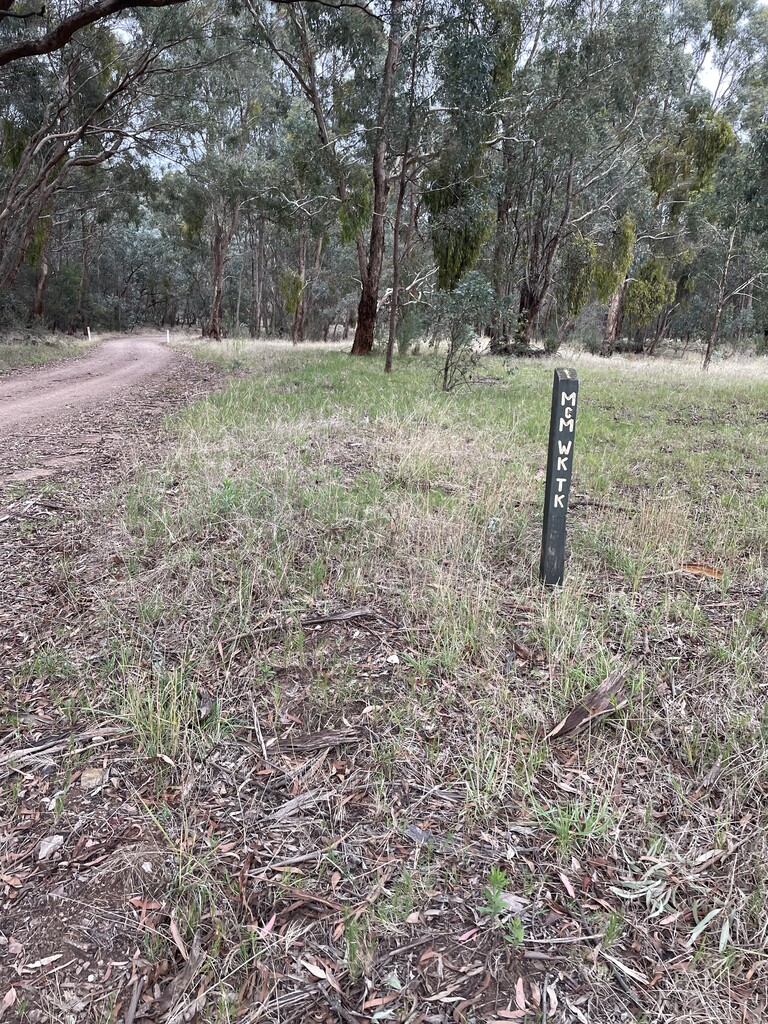
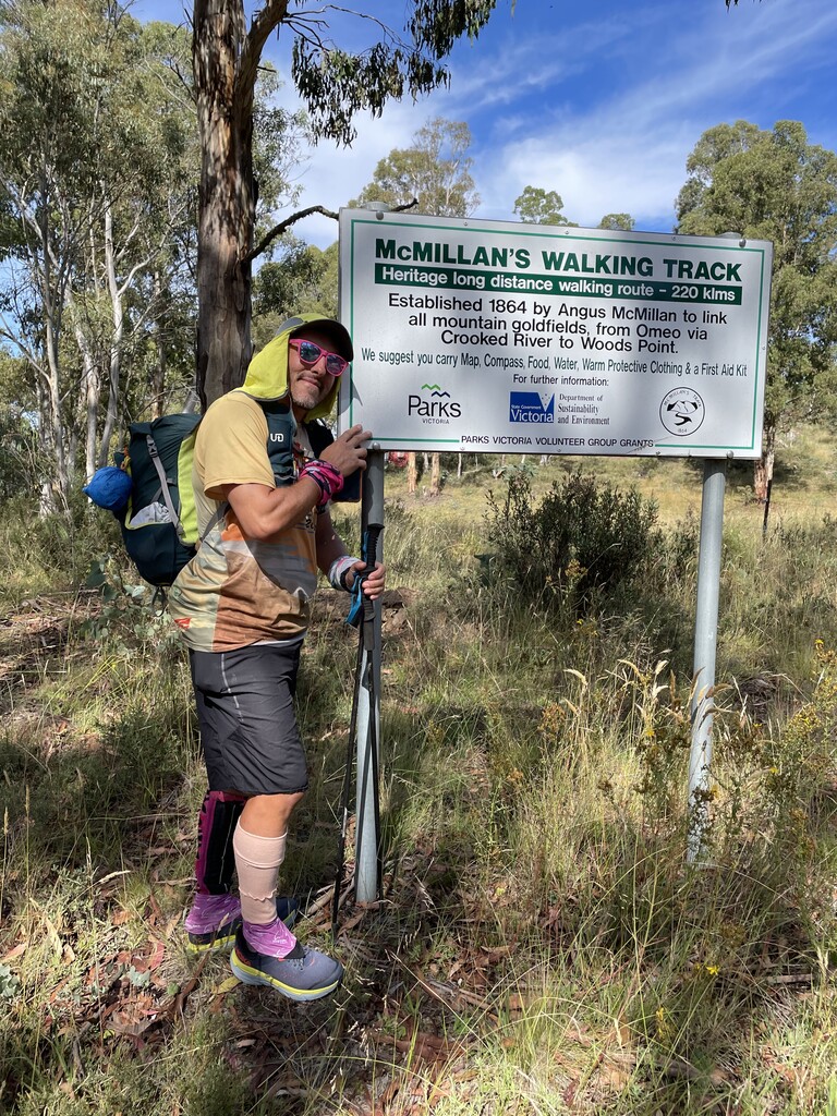
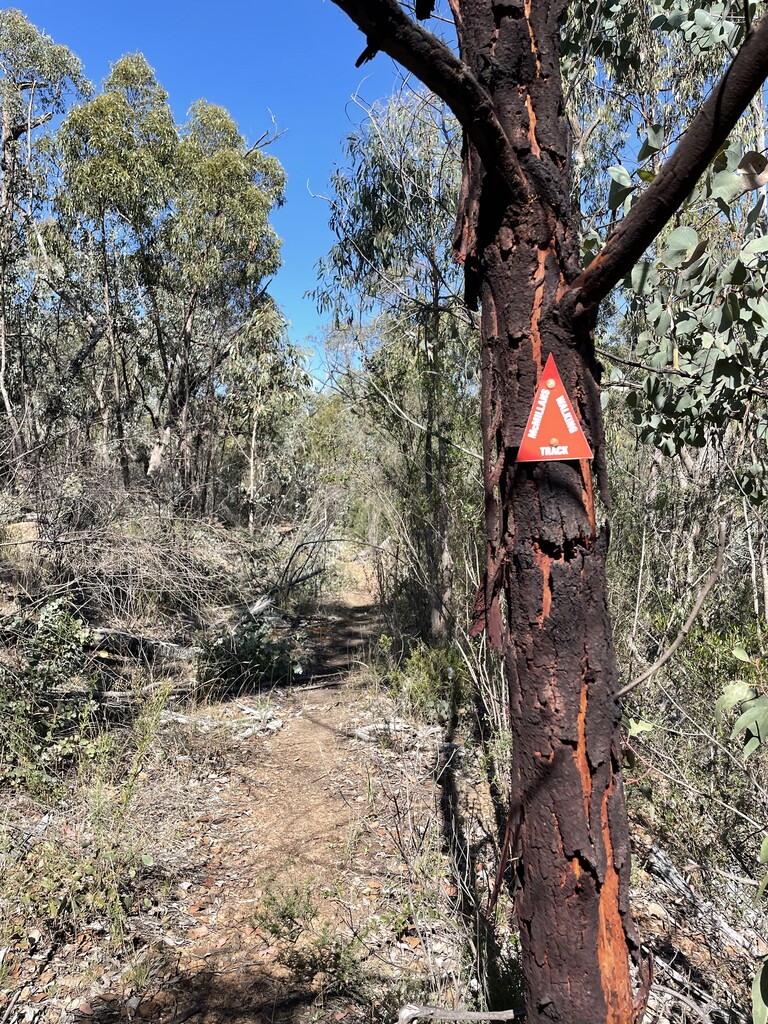
McMillans Track FKT (self supported)
Logistics-
Start Cobungra, Monday 8th - Finish - Woods Point, Saturday 13th
Food drops – 4 located (@ 141,162,169,178)km.
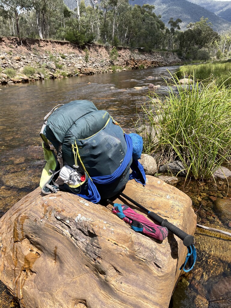
Gear – Ultimate Direction Fastpack 20, Lightweight Bivvy, Maps, compass, McMillans Walking Track Guide book, 4 days food, First Aid supplies, standard mandatory gear for alpine race.
Tracking- Garmin 66i GPS navigator, Coros Vertix
Monday 8th February—Cobungra to 25mile Creek - 44km
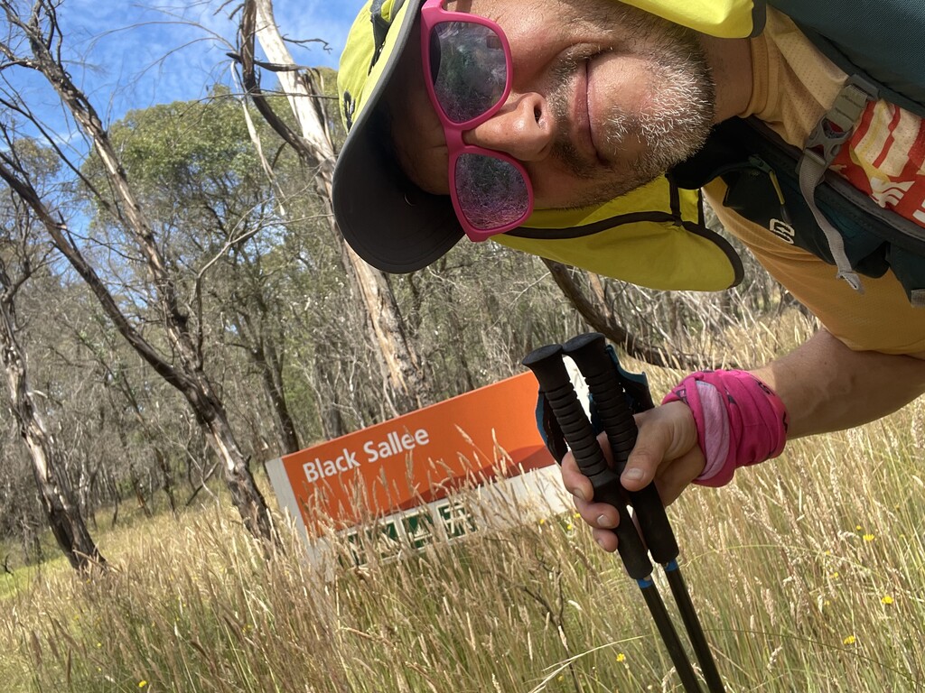
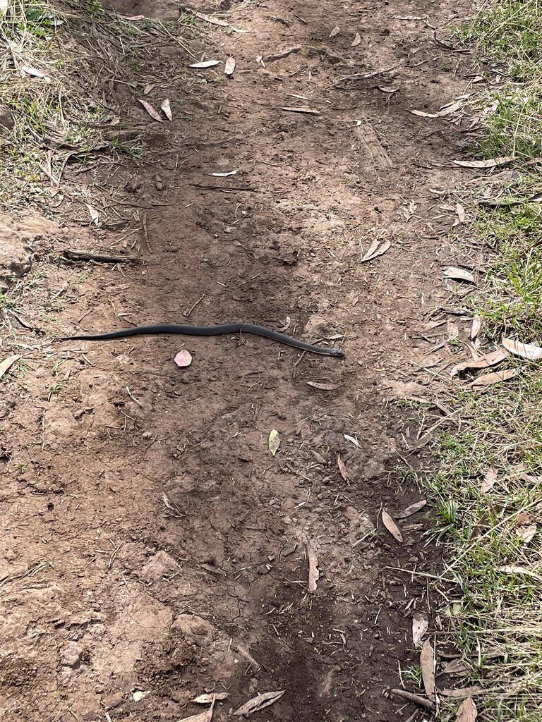
I had wanted to start the FKT attempt as early as possible to give me more daylight hours but had to get Breakfast and was really at the timetable of my ride to the start line. Pulling up to the start of track just after 10am and still needing to check my gear even though we did that earlier that morning in Omeo. A final check of the tracker, the watch and my gear which was under 10kg with water included. I was good to go and at 10.30 am I headed down Victoria river track on my own and excited to start my biggest adventure yet. The access road was relatively easy to jog on and I knew it wouldn’t last so I just went with it. A few kms in while I was hiking up I managed to see some wedge tail eagles above. Not sure if they thought I was prey but they where massive and it definitely gave me a boost as if I was being looked after on the trails while alone. I rolled past Black Sallee still buzzing and then came to Mayford Track and that was an eyeopener, steep and crappy and a taste of what was to come over the next few days. It was pretty clear to me after the slow descent that I wouldn’t be making my planned sleeping location at Eaglevale tonight,(I can laugh now because 70km in one day is possible, just not really wise on Mcmillans). After getting a little lost along Treasure Spur I finally found the easier King Spur track and had my first snake encounter. Only a little 40cm one but also a reminder that I need to careful at all times. Coming into Lankey Plans hut I am met by Kirsten who had been exploring the surrounding tracks on her own adventure. This was the last opportunity I had to pull out, my mind was already made up I was going on alone. I would still be checking in with the Garmin Inreach approximately every 4 hours or whenever I stopped for the night.
Leaving Lankey Plains and heading south along the Dargo road I still was pretty happy with my decision to keep pushing on until another tough section along the Gow Plain. With waist high grass, uneven ground and minimal markers it really was a case of following the fence lines until the track became clearer. The sun had started to go down while on white timber spur track and it was one of the most amazing sunsets I had seen. I looked for a place to camp but couldn’t find a clear space so decided I would keep walking till the 25 mile creek camp. I was tired and wanted a rest and it was close to 11 pm when I neared the camp. On the last descent to the camp ground I slipped and fell side ways. I picked myself up and dusted off the dirt and kept going. The camp site was a few small clearings next to the creek. I literally rolled out my bivvy, layered up, took wet shoes off and went straight to sleep.
Tuesday 9th February- Twentyfive Mile Creek to Eaglevale, 27km
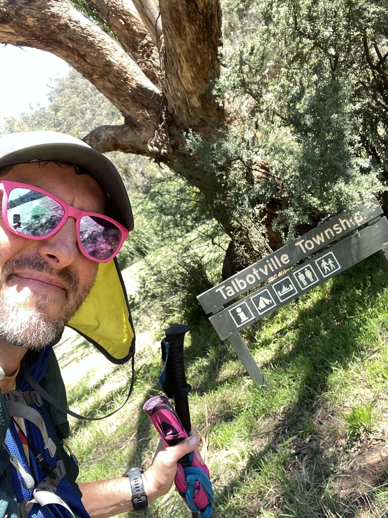
The alarm was planned for 6 am everyday so I could make the most of the daylight hours. Being the first time I had ever really camped alone in the bush it didn’t take me long to realise I need to make smart decisions every time. I gathered up gear making sure I didn’t leave anything behind. I had broken one of the nipples on my softflasks which are in my shorts from the fall the previous night, I also had a bruise from the impact of the fall on my thigh. Leaving 25 mile creek camp was some of the most overgrown blackberry covered trails I’ve ever encountered. The route was easy to follow because it followed the creek but the amount of blackberries that ripped at you was ridiculous. By the time I had made it to Bulltown I was covered in scratches and never wanted to see blackberries ever again. The next section with all the crossings of the Crooked River was one of my favourites. The guide book shows ankle to knee deep water crossings but you never know especially after heavy rains the previous week. Luckily the 28 crossings where all easily manageable and quite refreshing as it was the middle of the day. I also had a run in with a water lizard just before my second crossing. Coming into Talbotville about 3pm I decided I could nap for a bit and let temperature drop before going on. I found a shady spot, lay my space blanket down and had 40 minutes. When I woke up I notice a car in the distance and people. I think they were as surprised as I was to see another person. We chatted for a bit then I started to push to Eaglevale where I would camp for the night.
The track along the Wongungarra River wasn’t the easiest to follow and I spent a long time going in circles, bush bashing and trying to find the river crossing point. I eventually found a entry point down an embankment but it was not the proper 4WD crossing and the water levels were still high. I crossed using both poles and managed to get to the other side where I climbed up another blackberry filled embankment. I was wet up to my chest and happy to be back on a formed track again. Although I was on auto pilot while climbing Station Track and missed the turnoff and kept going up the wrong way on Cynthia Ridge for almost a km. I would eventually limped into Eaglevale just after 8pm. To my surprise there were other campers there and I was able to chat and have company for my second night. I borrowed embers to get my fire going (I had wet shoes, socks and pack but all other gear and electricals are in dry sacks) and then went through the routine of going through my gear getting ready for bed and planning the next day.
Wednesday 8th February – Eaglevale to Kelly’s Hut, 49km
Getting up again around 6am with slightly dryer gear I checked in with the other campers and would let them know when I finished. They had concerns about a single person hiking through that terrain and it made me feel more comfortable knowing people knew where I was. Moraka Junction track was quite easy and enjoyable as I had my fast hike going and once again this was short lived. Having read the McMillans guide book I knew the toughest sections for me would be the wilderness areas and that’s what I was going to face on this day. I actually had cell service at Moroka junction and made a few calls back to friends and family. This next section along or should I say in the Moraka River was slow, very slow. Not having great bush navigation skills I was heavily reliant on the guidebook, the GPX file on my watch and phone and the compass. There was a section along this part when I was inland on a sloping track and fell with a slight ankle roll. I didn’t realise at the time my main first aid kit had fallen out of a side pocket as well(I had a backup in the pack).
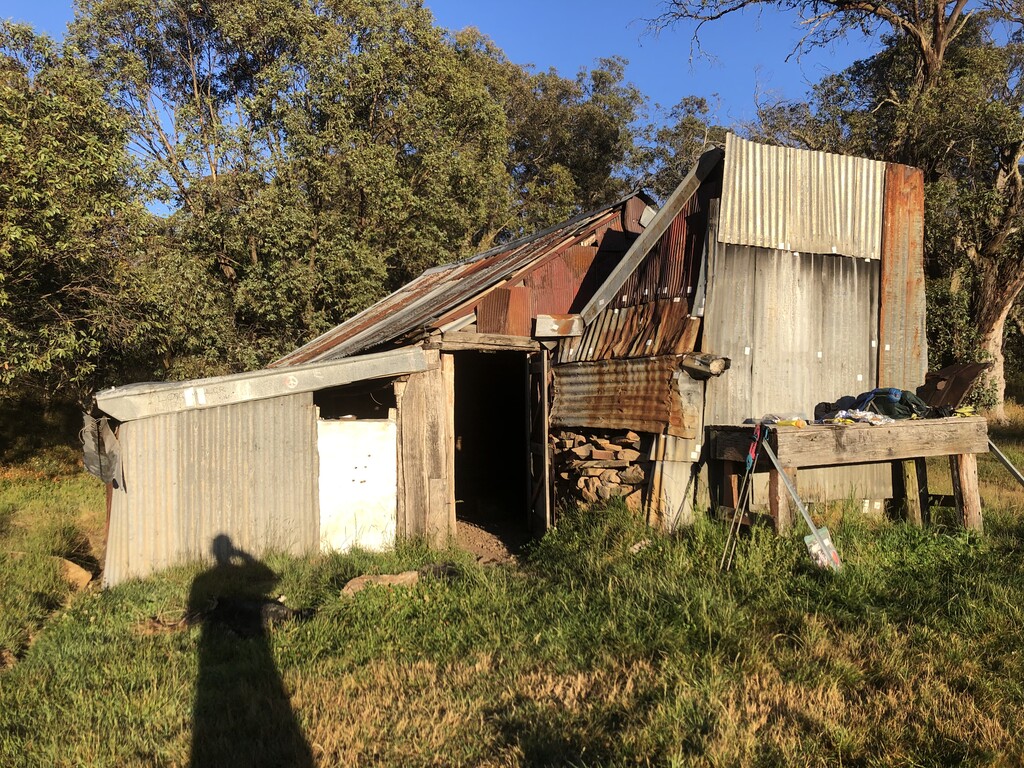
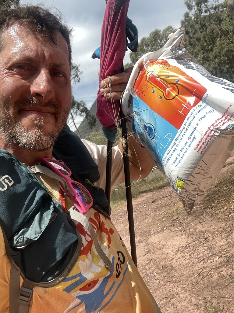
Another wildlife encounter on the river and this time it was a wild dog. I initially thought it belonged to campers or fishermen but in the remote location I was currently in that wasn’t the case. I kept following the river crossing from side to side trying keep a good pace while still being safe of the slippery rocks and also checking to see where my new dog friend was. My watch was showing over 100kms down but with extra kms and getting off track I knew I was already 5 km out. I wasn’t quite sure on where I actually was on the river and was hoping I was further along when i found a track coming of it. It was the Moroka River Track (a steep management track) that has 1000 metres of gain. This took me a while to get up, with constant rests as the heat was getting to me. The track I took is an alternate way out from the Moroka River and was safer and easier to navigate. Going the other way out of Moroka along playboy creek and up D4 would add 4 km to the journey. Both routes are listed in the guide book. Once out on Moroka Rd I heading back to the junction of D4 to look for a food drop I had planted in 2018 when I first wanted to try this trail. 20 minutes looking to no avail so I headed back up Moroka Rd where I broke out into a jog on the wide open road. Camp for the night would be Kelly’s Hut and I arrived just after 9pm.
Thursday 9th February- Kelly’s Hut to Rumpff Flat, 40km
I was starting to feel more comfortable now with the routine of getting up eating, packing and planning the next day of hiking. I had previously checkout out may sections of the next 100 km into woods point and I new the terrain was easier to navigate. I also had my first food drop at breakfast creek so I was hanging for that first can of coke. Leaving Kelly’s hut it didn’t take long to get to the track junction up to Mt Tamboritha. I had hiked this in 2018 but looked different without the knee deep snow. I made my way quite easily over Mt. Tamboritha and Little Tamboritha and took advantage of the cell service to post on socials and check in with friends. The descent into breakfast creek was cautious as the steep and slippery surface on the trails. I could not wipe the smile off my face after getting to my buried drop bag just after 2 pm. I headed down into the Wellington River to cool down and refuel and in doing so fell down another embankment and rolled the same ankle again. Luckily I was straight in the water and having a picnic on a rock. I wish I had dropped more softdrink as I drank 2 of my 4 cans in the bag. After cooling down I prepped myself for the long hike up to the Crinoline, another section I had hiked before so I was comfortable here even forgetting about my ankle.
The descent down toward the Maccalister River was steep and painful with the fatigue on the legs becoming evident. I wanted to get to camp which would be rumpffs flat as soon as possible and put the feet up. I took another wrong turn after crossing the river and added more kms that I didn’t need. Coming into camp it was dark and was just on 160 km so I thought I could rest up and give one more push to finish Friday Night. I was quick as setting up camp now. I put my pack in the small tree I was under, bivvy out, hand warmers, and puffy on, message location on Garmin inreach then bed.
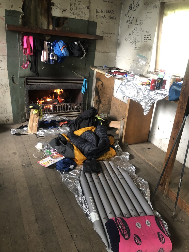
Friday 10th February- Rumpff Flat to Crows Hut, 21km
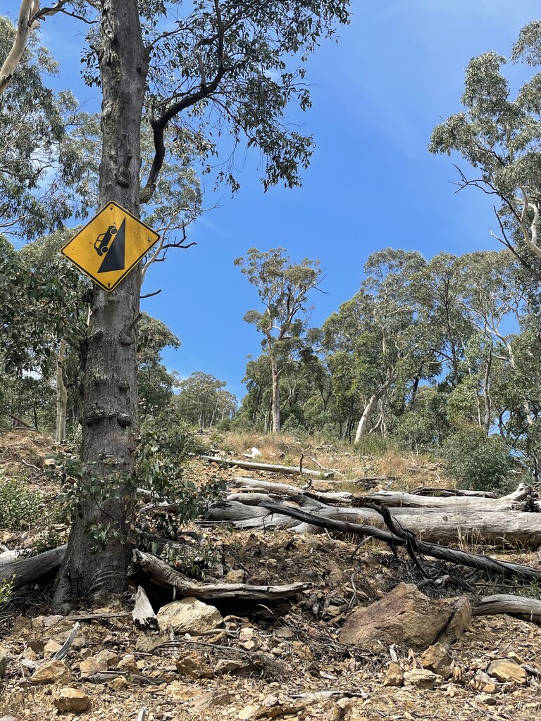
The plan was to push and get to Woods Point on this day but it was clear I still had many more challenges in front of me. The climb up Mcmillan Spur track was so scary, with winds blowing and trees moving side to side and then the drizzle and it was still only 7 am. I had a small drop of 2 cans of soft drink half way up this climb with another substantial drop at the Heyfield Jamieson intersection. The rain really started to come down soon after I turned onto Heyfield Jamieson Rd, and I even ran into some workers doing road maintenance further up. They promised me a coffee for morning smoko so that spurred me on to get there quickly. The rain continued for the next 2 hours and the road workers had knocked off for the day cause it was too wet. I really wanted that coffee but would have to settle for my next food drop 10 km up the road.
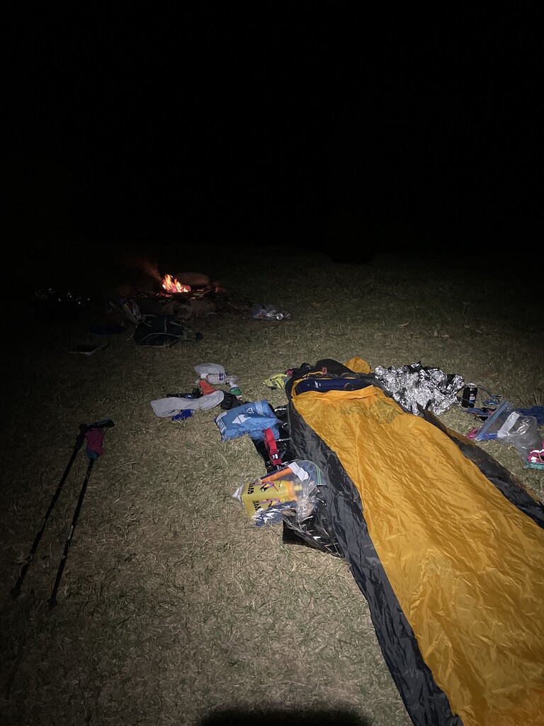
The Mt Shillinglaw track was wet and overgrown but my mood was upbeat. I was starting to get a little cold due to the rain but still moving well. By the time I picked up my last foot drop I actually could fit it all in my pack cause I wasn’t eating all of it. I grabbed my drop from campsite where I had been part of a Track Clearing previously and headed to Crows Hut to shelter from the weather. Getting into Crows Hut just after midday I needed to make an important decision on how long I would rest for. With 34 km to Woods Point I could have pushed on and possibly been finished that night. The rain had eased off but I was already into warm clothes and had a fire going. I took the next few hours to eat, drink and chill out while thinking back to the last few days of being literally on my own. I even had a 2 year old new idea magazine to catch up on. It was a perfect time to reflect but also assess the impact on my body so far. The large bruise on my thigh was still there, both ankles were stiff and I had scratches on both arms and legs from the bush wacking.
Saturday 11th February- Crows Hut to Woods Point - 31km
I slept pretty comfortably and had organised all my gear the night before, all I had to do was make sure the fire was completely out and I could set off on the last leg of my journey. I was on such a high that I was going to be finished in another 8 hours or so. The tracks from Lazarini Spur down to Black River had been cleared 3 years ago so this section was pretty easy to navigate but slippery with all the recent rain. I crossed Black River and cooled myself down before the long hike up. I had plenty energy as I had slept 10 hours and also polished off another 2 cans of soft drink for breakfast. It was now only a matter of 2 more climbs and then I would be back into civilization. Hiking Champion Spur and up Abbott Creek Track was hard but being so close to finishing made it easier. Another 2 snake sightings along these tracks reminded me to take it easy and slow the pace down.
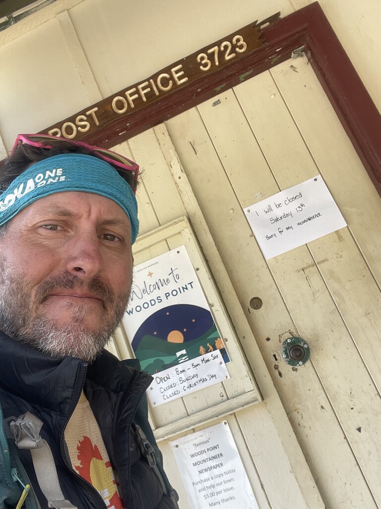
When I reached the top of the next climb and was next to the phone towers I called to check in and was informed that Victoria has gone into lockdown and I would be stuck in Woods Point. Well I had had the next 5 km as I strolled to the finish to contemplate where I would stay that night and how I would get to my car which was near Licola. I tried to not overthink it and as I passed people and cars coming into Woods Point I was just trying to enjoy the last few steps. And after more than 220 kms I had reached the woods point sign at approximately 2.30 pm. 5 Days and 4 hours after setting off at Cobungra I had reached Woods Point.
Now as one adventure came to an end another began as Victoria was in lockdown, I obviously needed a place to stay but that wasn’t an issue as I had become accustomed to the bivvy now and then getting back home.
END OF REPORT