


Project
From 24 to 29 June 2026, I completed the entire Hohe Tauern Panorama Trail as a self-supported project.
The route followed the official trail from the designated start in Krimml to the official finish in Hüttschlag, covering more than 280 km with approximately 14,400 m of elevation gain.
My total time for the route was 4 days, 15 hours, 31 minutes and 37 seconds (111:31:37).
Style
The entire attempt was completed in self-supported style.
After the official start, I received no outside assistance. No food, equipment, or supplies were handed to me during the attempt. All resupplies were obtained independently by purchasing food and drinks from supermarkets, restaurants, and accommodations along the route.
I was only transported to the official start in Krimml. From the official starting point onward, all forward progress was made solely under my own power.
Navigation and Route
Navigation was carried out using a Garmin Fenix 7, a preloaded GPX track, and the official trail guide/offline map that I had ordered from the official Hohe Tauern Panorama Trail website.
During the attempt, I noticed that the GPX track and the official guidebook did not fully match the trail signage on the ground, particularly in the Rauris area.
I omitted the loop through Embach as well as the section to the Naturfreundehaus. This route choice closely matches the previously established FKT route, which also bypassed Embach and instead omitted the section through the Rauriser Urwald. These differences are clearly documented in the submitted GPX track.
No unofficial shortcuts or alternative routes were used, and the entire trail was officially open during my attempt.
I spent the first night in a bivy sack near the Wildkogel, the second night at the Bürglhütte, and the following nights in accommodations in Bruck and Rauris.
Equipment
I carried a 15-liter trail running backpack with a total weight of approximately 9 kg.
My equipment included:
-
Garmin Fenix 7 and an action camera for documentation
-
One pair of shoes (Brooks Catamount 4)
-
Trail running poles
-
Spare clothing and socks
-
Bivy sack and sleeping bag liner
-
Rain jacket, long-sleeve shirt, and long pants
-
Safety equipment (first aid kit, travel medical kit, multitool)
-
Food supplies (energy gels and bars) for approximately one day at a time
-
Two 750 ml soft flasks (1.5 liters total)
Conditions
The entire project took place in very warm summer conditions, with temperatures reaching approximately 34°C. The valley sections were particularly demanding due to the heat.
On the fifth day, I had to wait for approximately one hour because of a thunderstorm before it was safe to continue over the Tofernscharte.
Apart from overnight stops, short resupply breaks, and this weather-related delay, I did not take any extended breaks.
Physical Condition
Overall, the project went surprisingly smoothly.
I experienced only a small blister on my little toe and occasional fatigue in my quadriceps during the longer descents, particularly from Grubereck and Stubnerkogel.
Nutrition worked well throughout the entire route, with no stomach issues. I was able to eat and drink consistently during the attempt.
The greatest challenge was the mental aspect—maintaining focus and motivation while continuing to move forward day after day, especially during the more difficult moments.
Verification
The following documentation is available:
-
GPX track
-
Strava activity
-
GoPro footage
-
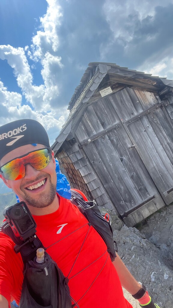
Photos taken along the route
-
Instagram account: @trail.running.groovy