I ran this trail unsupported back in April. My primary focus for the trip was to tag all the major summits along the route in a continuous push. I had pieced together the entire route on several previous peakbagging trips but was entirely unaware of Brock's FKT of the range, including his choice to start at a different trailhead (which added more mileage).
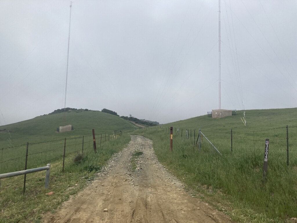
The night before my run, I stashed my bicycle on the northern terminus and drove to Rancho Santa Margarita to crash with a buddy for the night. At 4:30am, my friend drove me to the trailhead. I started my run at Long Canyon Rd (Forest Rte 3S04) at 5:17am in thick mist and zero visibility.
I knew there was no water on the route so I was glad to have chosen a cool, cloudy day. For fluids, I carried what I could (around 4L) in my running vest and planned for dehydration in the later stages of the run. Also in my pack was a lightweight rain/wind shell, several GUs, bars, cookies, cashews, and peanut butter tortillas.
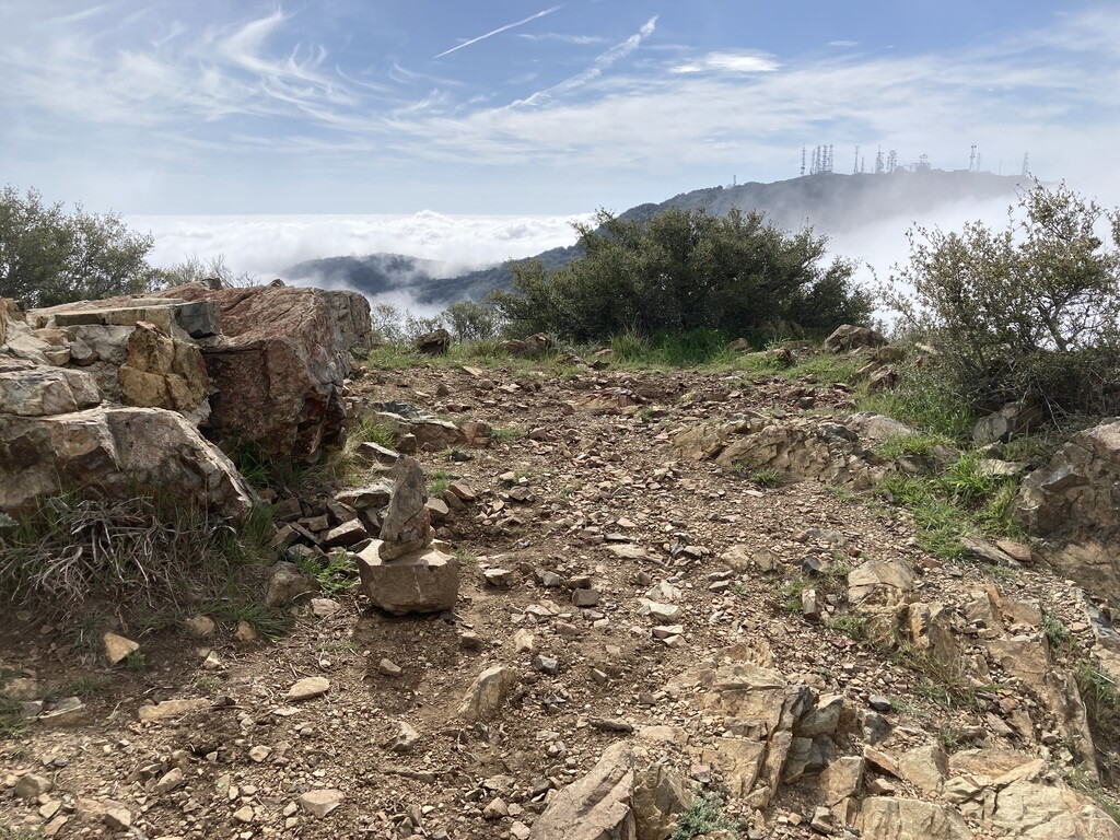
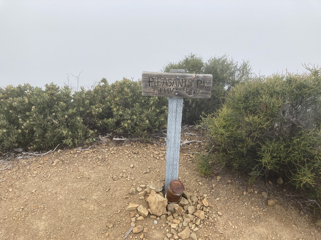
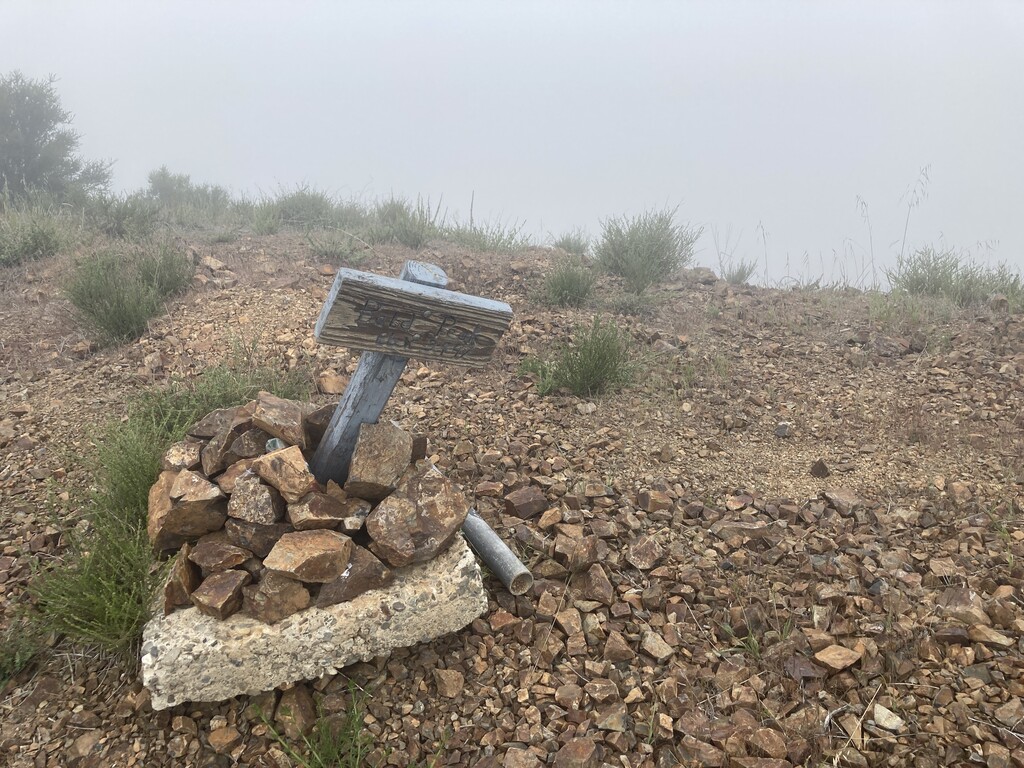
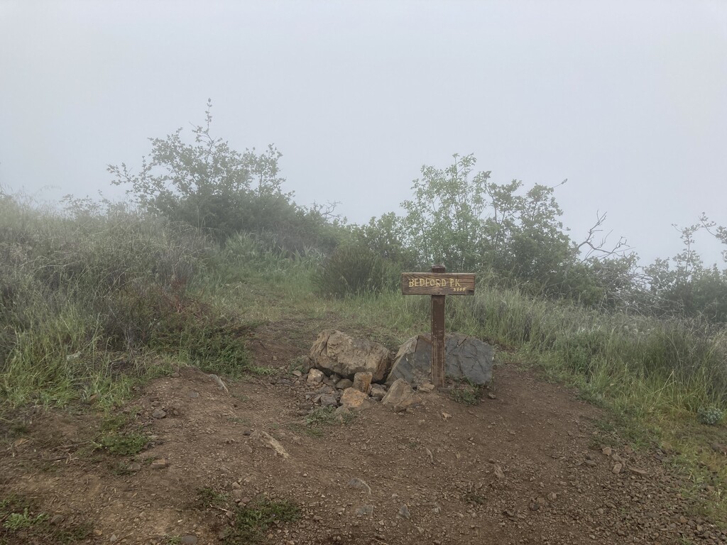
From the trailhead, I ran up Forest Rte 3S04 until it merged with the Main Divide Truck Trail. This "Divide Rd" travels more or less along the spine of the range and runs nearly the entire length of the route. Nearly every summit requires just a short deviation off the road and is often marked by a rusted metal gate/fence (most likely built to deter motor vehicles from leaving the roadway.) To date, every one of these summits has a trail of sorts leading to the top, making them fairly easy to identify and straightforward to navigate. From South to North, I tagged the following peaks:
1) Horsethief Peak
2) Trabuco Peak
3) Santiago Peak
4) Modjeska Peak
5) Bald Peak
6) Peak 3840
7) Bedford Peak
8) Peak 3769
9) Pleasants Peak
10) Sierra Peak
I also tagged a few additional high points along the way and explored a few hills and bumps I hadn't previously visited.
I was able to ration water for the most part, but ran out completely a couple miles from Sierra Peak. This was also where my legs started feeling sluggish. After tagging the last peak, Sierra Peak, I made a bee-line down the steep home stretch into Coal Canyon and and Chino Hills State Park. I stopped the timer at the metal gate right at HWY 91. I was aiming for a sub 10hr run but missed my goal by 4 minutes. After finishing my run, I hopped on my bike that I had stashed at the gate the previous night and cycled back to my home in Anaheim Hills, 6 miles away. I forgot that it was all uphill though, and given the state of my legs, the bike ride was definitely the crux of the day.
Upon completing the run, I came across Brock's FKT on this website and realized that he had chosen a different start point for the run which added an extra 4.5 miles to the trip. The elevation gain was practically identical though due to my focus on climbing the peaks along the way.
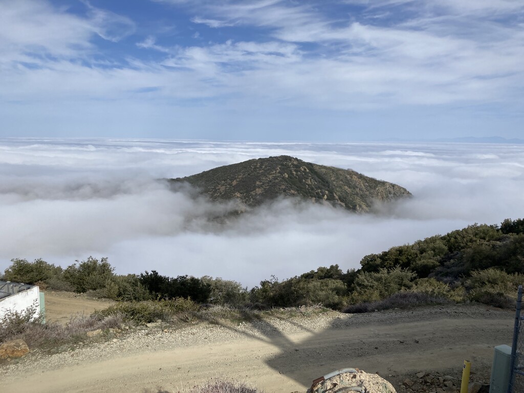
All-in-all it was a spectacular day. Due to the weather, I practically had the entire range to myself! I think this route is super underrated and absolutely beautiful and I definitely recommend it! If you're looking for an amazing day of fun peakbagging, superb trail running, and stunning views in OC, look no further!