https://www.instagram.com/p/By5qnetndql/
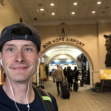
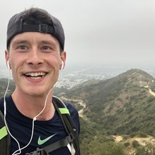
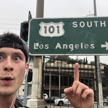
Set out from Burbank Airport departures and headed south down N Hollywood Way, west onto W Olive Ave, south on Barham Blvd, west onto Oakcrest Dr, west on Woodrow Wilson Dr, south on Pacific View Dr, and followed Mulholland Dr until it merged with Runyon Canyon trails. Got back onto pavement and took N Curson Ave south, west on Hollywood Blvd, south on N Fairfax Ave for several miles until it merged into S La Cienega Blvd, west on Obama Blvd, south onto Jefferson Blvd before merging onto S Sepulveda Blvd for the final miles onto LAX.
Surprisingly difficult route given all the traffic and urban jungle crossing. I recommend starting early and bringing a headlamp as several areas are poorly lit.
Be careful and have fun!
ReplyReply AllForwardEdit as new


