Date: 25th August 2021
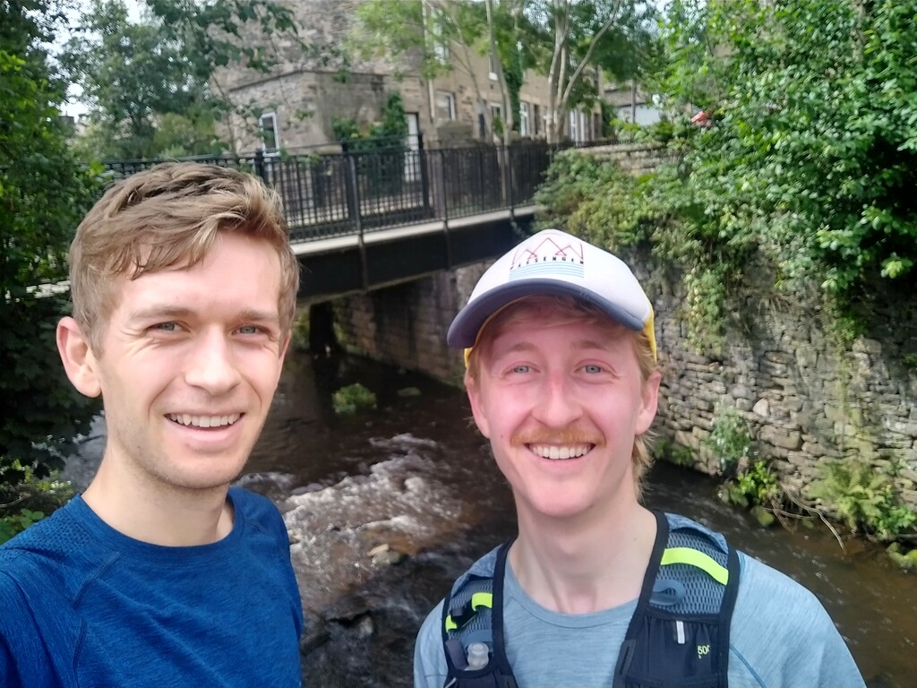
Runners: Guy Conlon & Clay Conlon
Weather: Cloudy with sunny intervals ~19 °C
Distance: 9.72 miles
Route Description:
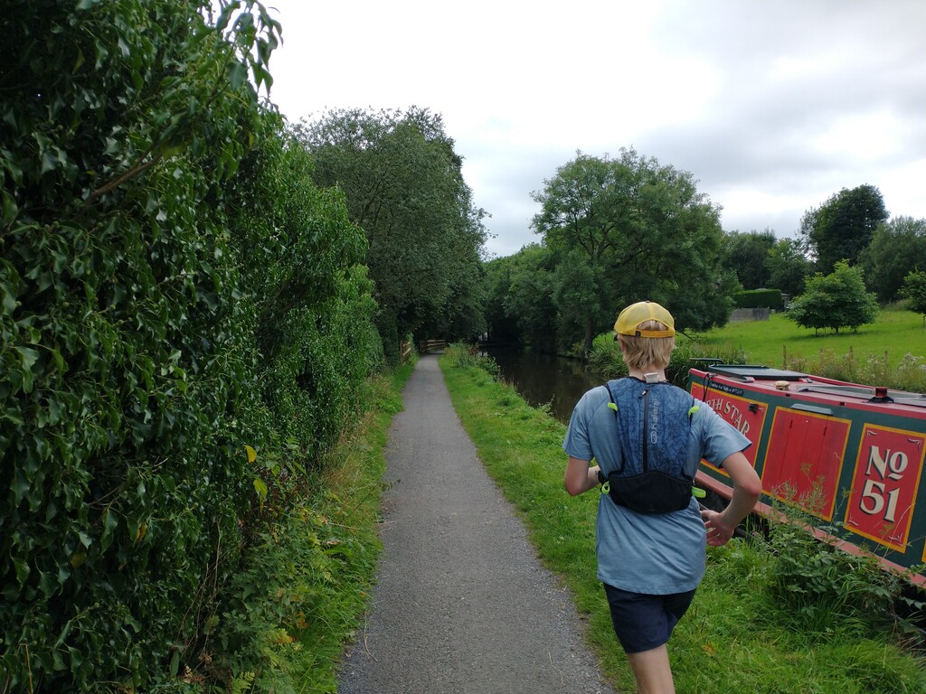
Start at the car park of Etherow Country Park. The run first involves a short section south along the road over the River Etherow, before turning right down to the River Goyt. A few hundred metres of flat running in Brabyns Park before it ascends a short but quite steep section to get onto the Peak Forest Canal. There is a gradual climb along this section of the canal past the Marple Locks, continue to follow the canal over Station Road and past Marple Memorial Park.
The route then veers away to the right of the canal before heading east cutting back over the Peak Forest Canal a few minutes later. Cross the B6101, then a steep and rocky descent to Mellor Mill. The route then weaves through the Goyt valley passing Strines station. Out of Strines is a steep ascent, be careful under foot as it is a mixture of mud and rock, with the potential of slipping in bad weather.
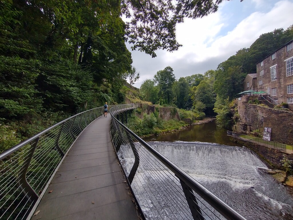
At the top of this hill when you reach Brook Bottom Road, you’re treated to beautiful views across the valley. Take the first right down a rocky path, which takes you back to the bottom of the valley to meet the River Goyt again. Continue to follow the River Goyt for several kilometres with a scenic highlight being the Millennium Walkway and the spectacular red sandstone gorge.
Towards the end of the run, you meet up with the Peak Forest Canal again and run alongside this till you reach Whaley Bridge.
How did we find it?
It was a fun route with a good mixture of terrain and scenery, so you are never bored! Several short, steep sections that really test your legs, but thankfully the flat canal and river sections allow you to recover quick. The route isn’t signposted the whole way, therefore maps were essential for navigation.
We did the run unsupported carrying everything we required on route i.e. phone, keys, water.