


Finally sitting down to submit this report. Apologies for the delay.
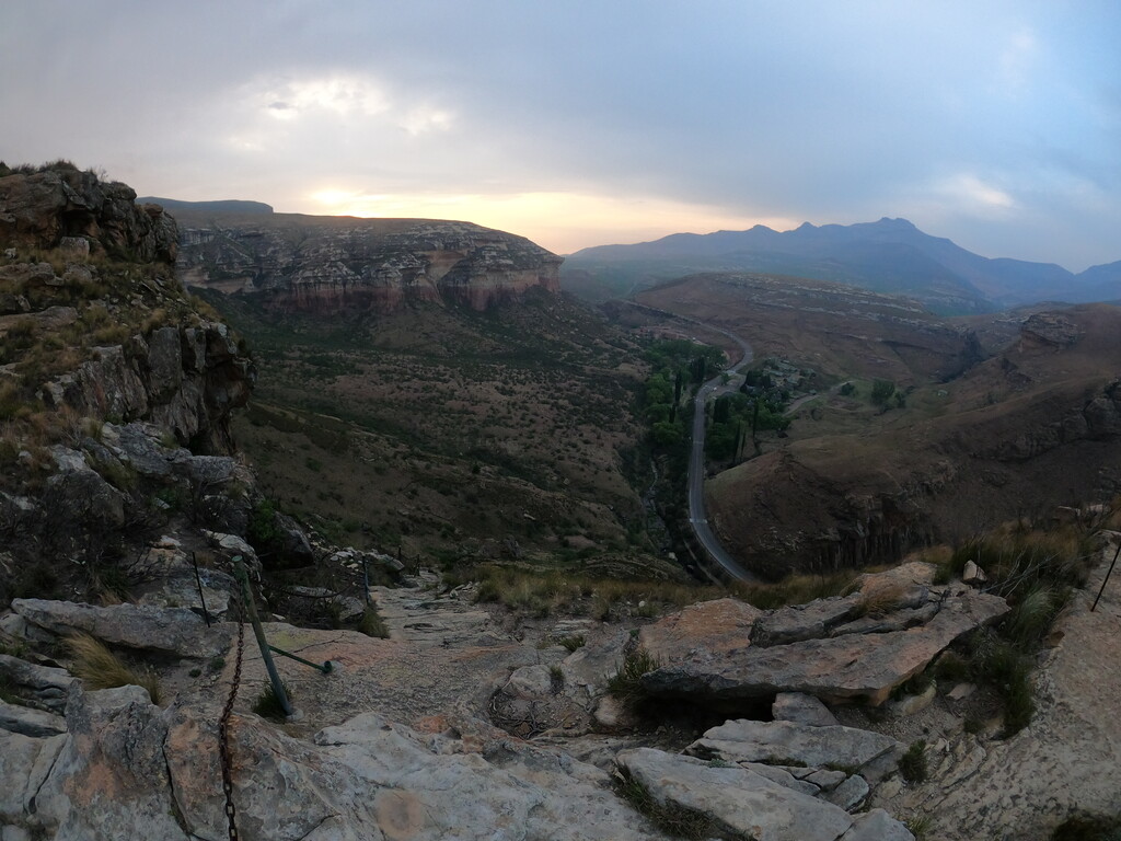
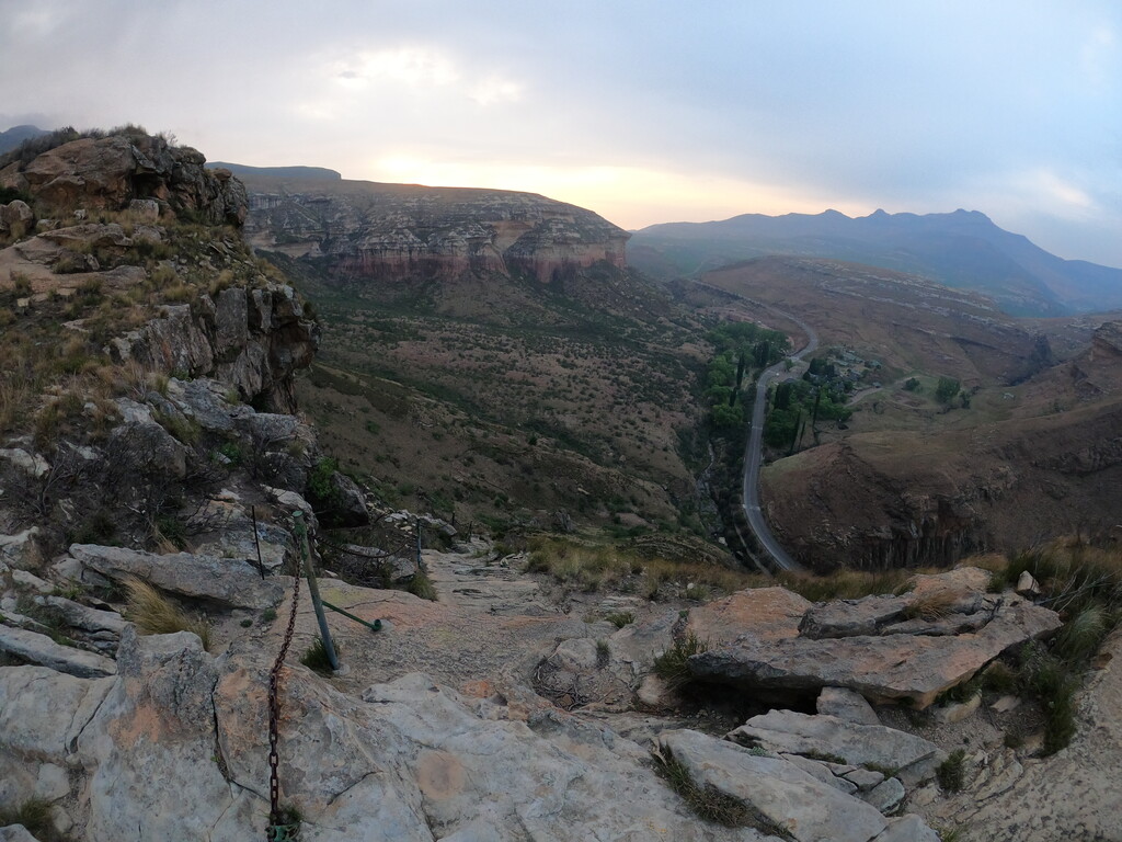
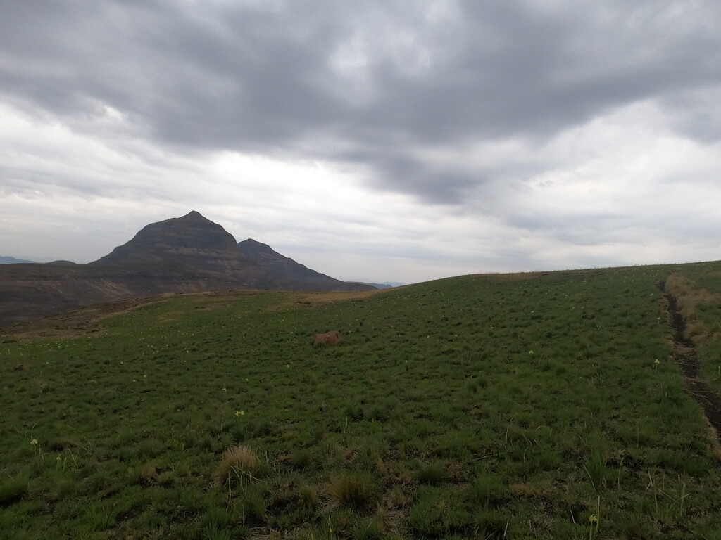
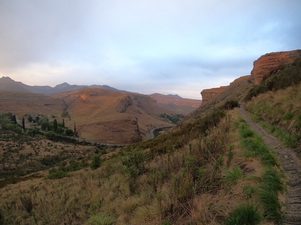
The day started out fairly early, just after 05:30. This is a circular route but I opted to start at the traditional place, the little green footbridge over the river in the camp. This help having a distinct spot to conclude the run. Over the bridge and up to Brandwag, one of the most iconic buttresses in the area, went smoothly and faster than expected. From here I followed the path quite easily, winding around and in and out of a number of valleys. I got briefly lost at two sections where previous hikers created a wrong footpaths and in both occasions ending in dead-ends. Back tracking was easy enough and saw me on my way again.
There was very little water on the trail so I was happy that I started carrying enough for the whole run. The first section ends at Wilgenhof and finding the correct path to the road crossing can be tricky. I ended up using the main road because it is the most straight-forward option although a little further than the trail. You can use either or, but I recommend the road. The trail is very overgrown in this area and can be difficult to find.
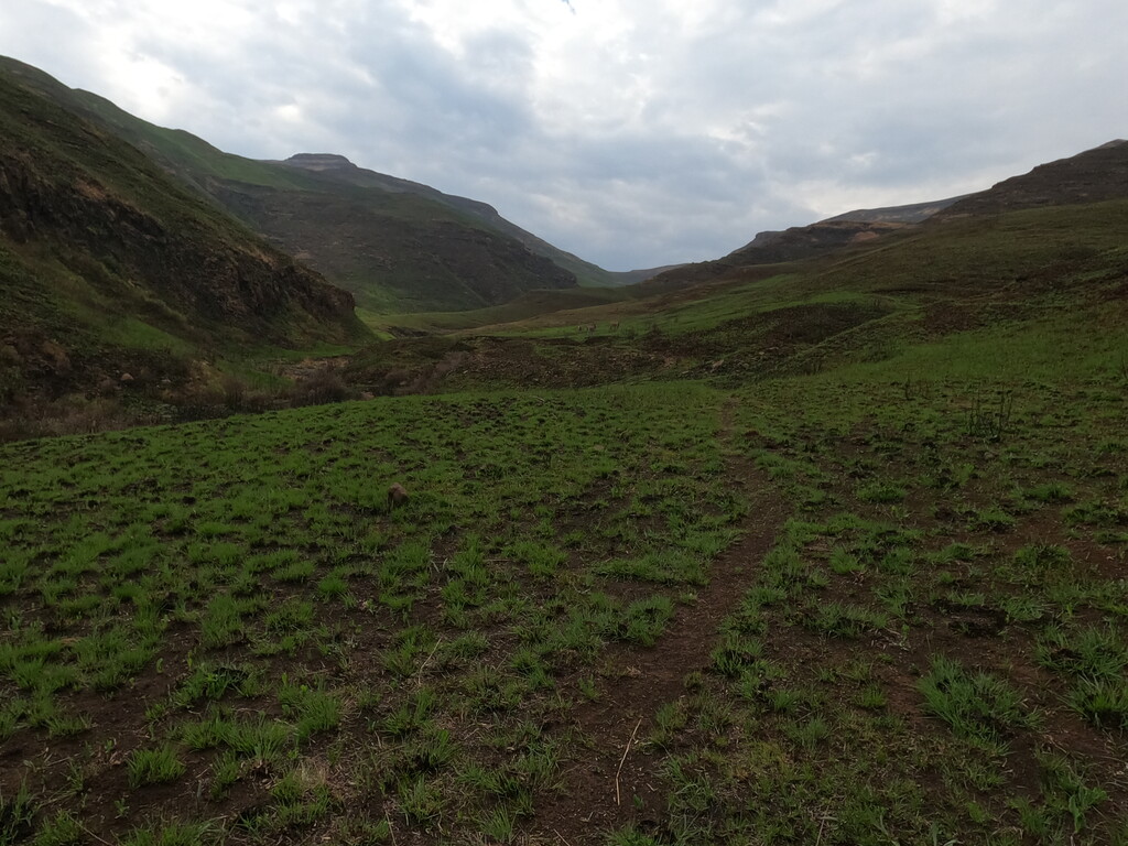
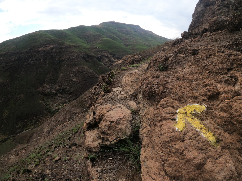
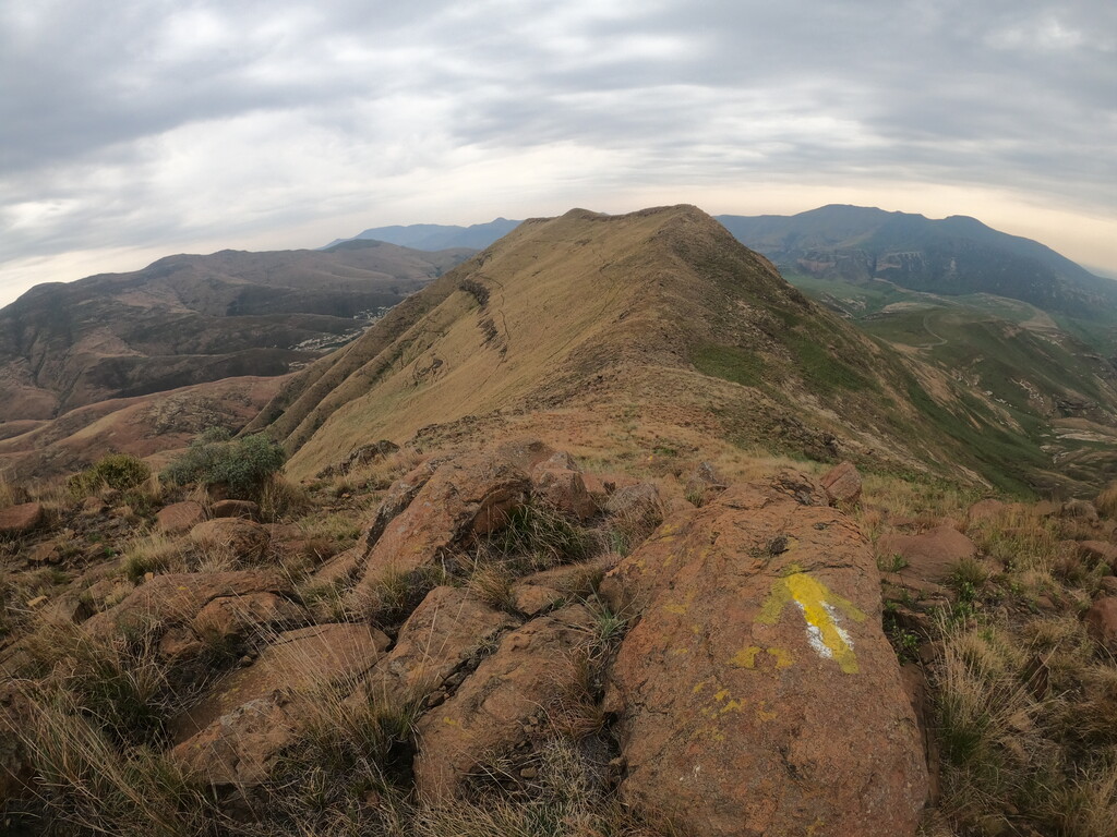
The next section went smoothly, I picked one of the many roads and headed towards Ribbok Hut. In the valley all the roads seem to lead to the Ribbok Hut so you can pick any of the trails heading in the same direction. At Ribbok Hut there is water if you need to fill up. The weather was overcast and cool so I did not need to fill up. The big climbed started just after Ribbok and climbs for a significant distance up to Generaalskop. Running on an establish hiking route meant that up to this point a variety of markers, route indicators and cairns kept me on course. These stop at Generaalskop and you have to keep your wits about you. Making a mistake here means you will end up in Lesotho.
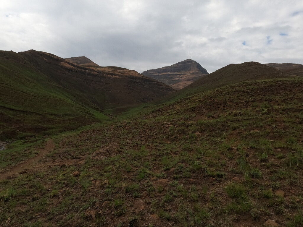
Luckily I was familiar with the area and started heading towards the ridge that takes you to a dam and a valley that leads to the start point. The ridge is challenging but beautiful. I am not the best technical runner in the world which meant I lost some time on the ridge. Technical runners will truly enjoy this segment. From the ridge it is a steep drop past a dam and into a valley.
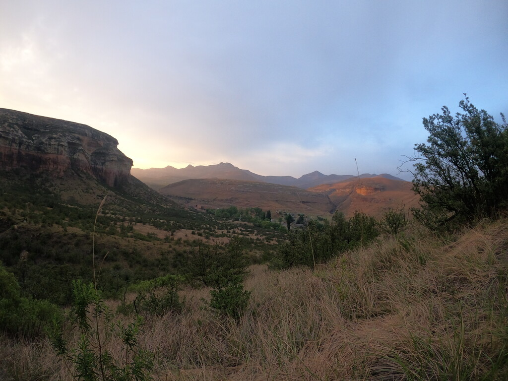
The last stretch was beautiful and went off without any hiccups. I was happy to finish before lunch. What a spectacular route!