


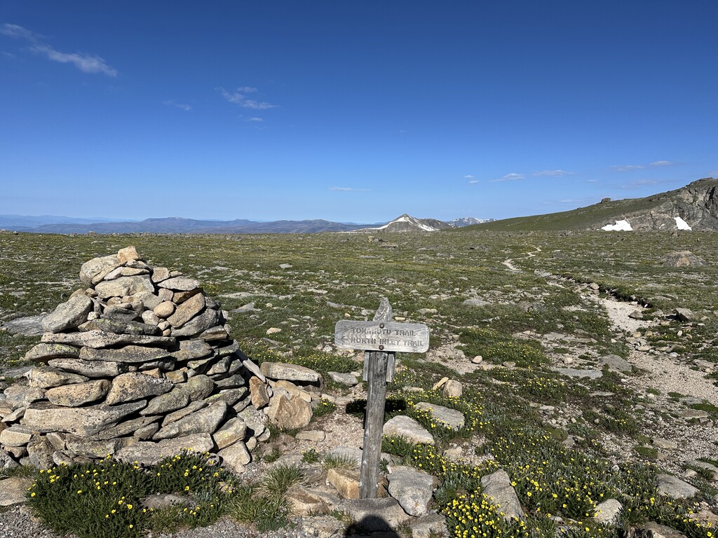
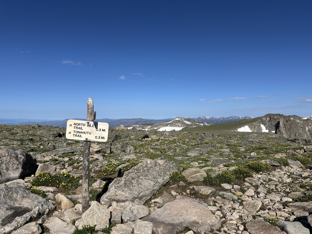


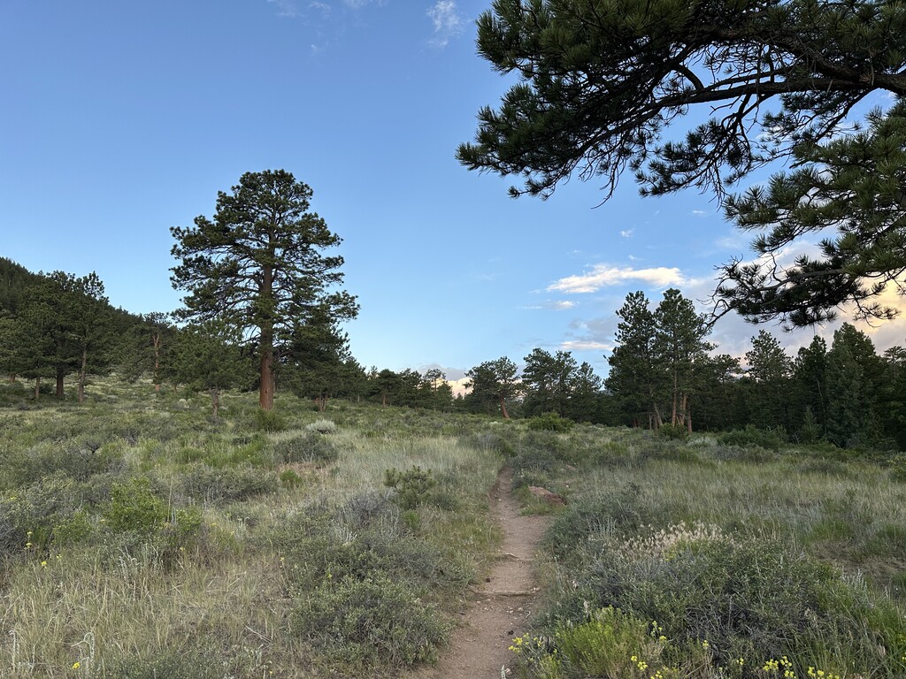
I’d been wanting to do this route for a couple of years, and I’m glad it came together today. In researching the route, I saw additional trails that could be used instead of running on bear lake road near the beaver meadows visitor center. I confirmed these tails were open to public by calling the Beaver Meadows Wilderness Office. Overall, those trails decrease time on bear lake road. Minimizing time on bear lake road is likely the safest way to do this route as that corridor is one of the most visited in Rocky Mountain National Park.
I also choose to go east to west based on unsupported logistics (The east side of the park is significantly closer to Denver, Boulder, and Fort Collins).
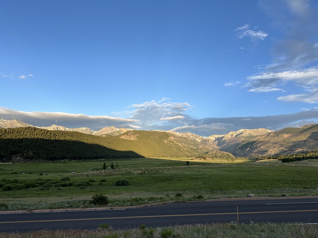
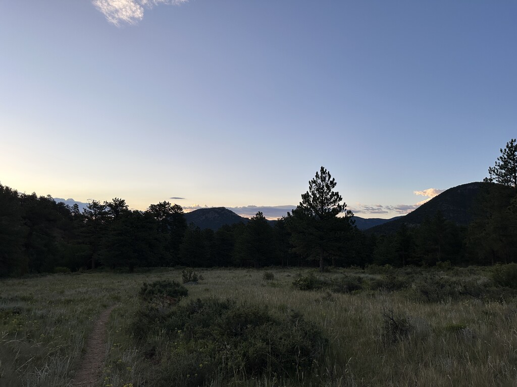
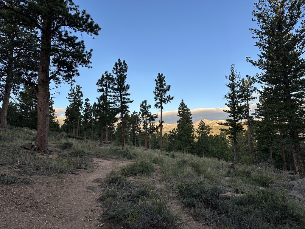
I started the run around sunrise (5:43am), and the temperature was cool and great for running. The sunrise colors also couldn’t be beat, pinks, purples, reds. I got lost a couple of times during the first few miles, but it was easy to get back to the right spot. I wound up having the phone out a bunch to help with navigation.
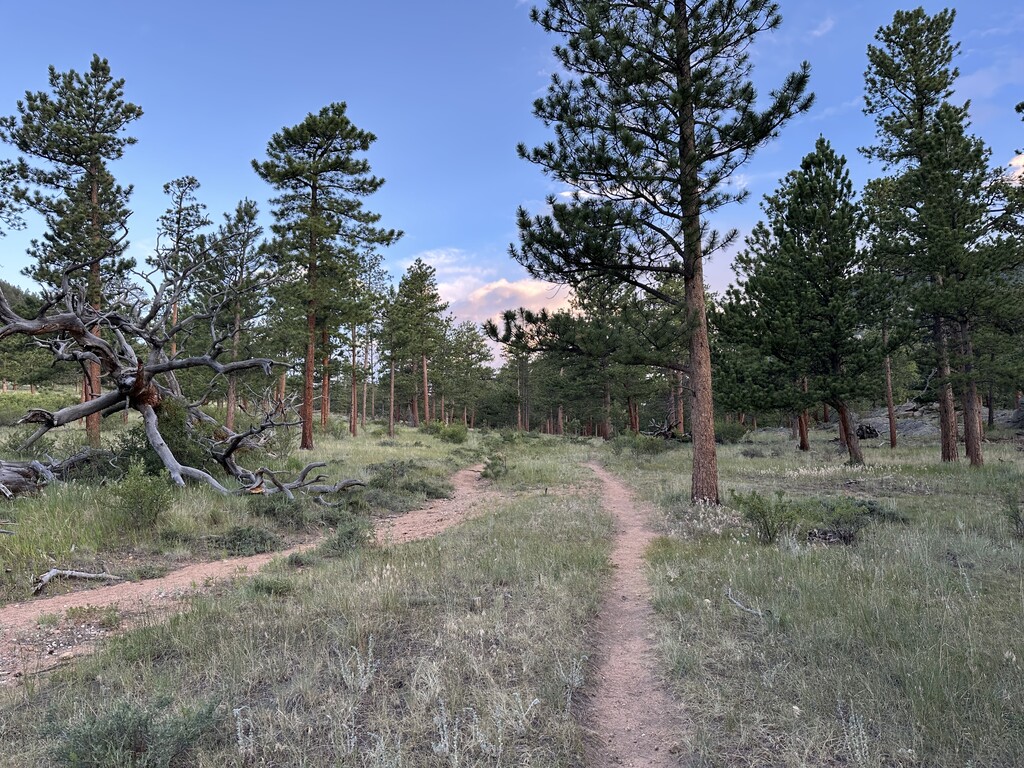
Miles ticked off until I found myself lost and
surrounded by trees around mile 7. My phone gps also malfunctioned. After about five minutes, I was able to navigate back to the trail.
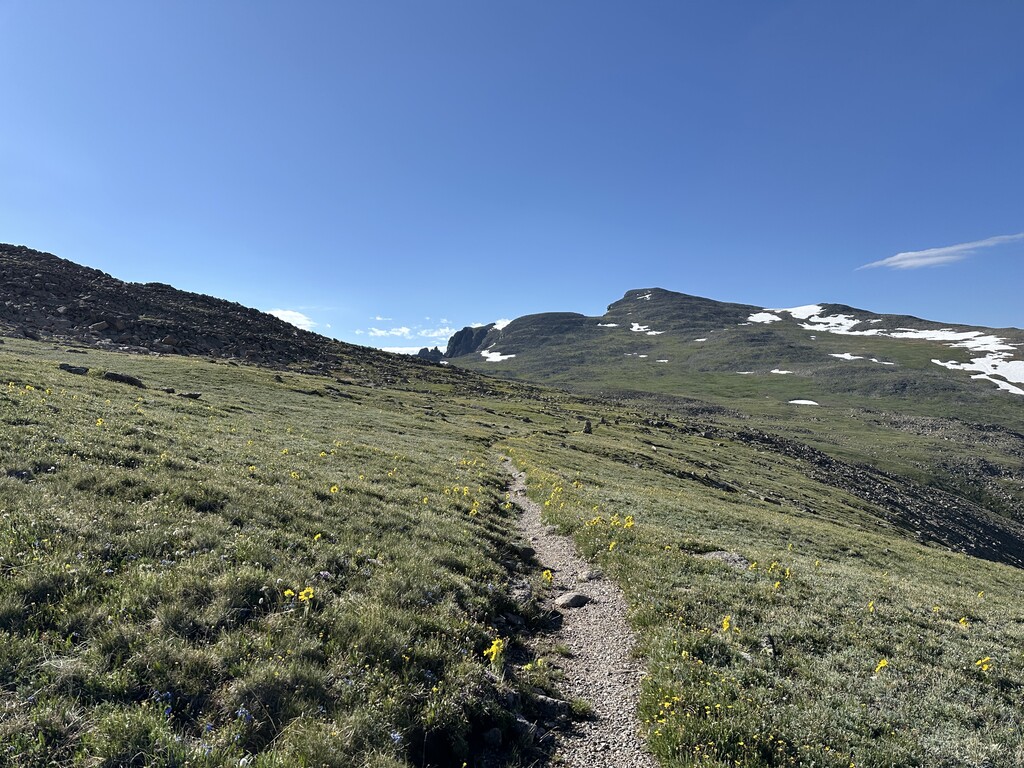
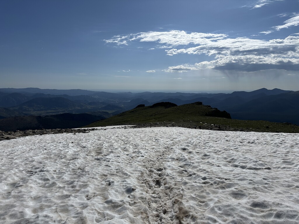
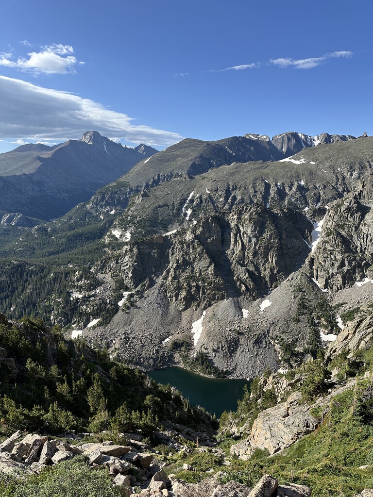
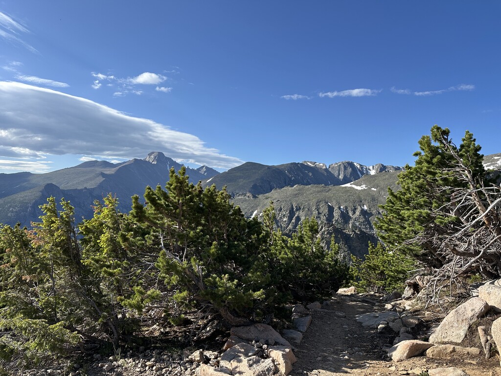
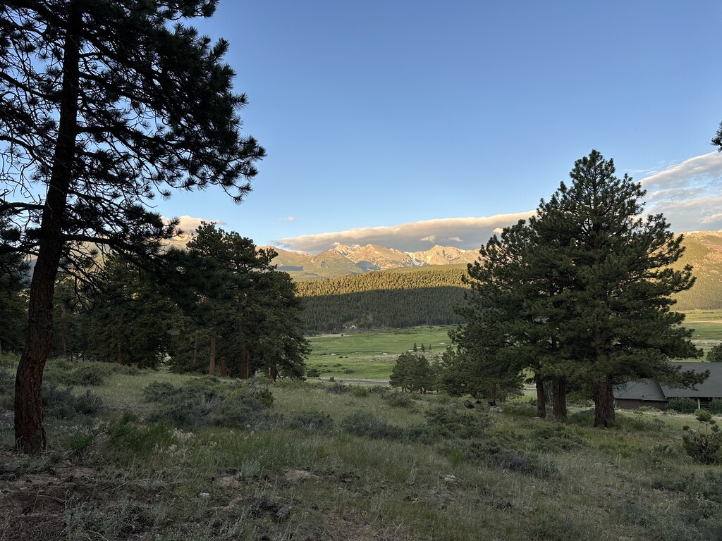
I chugged along on the valley terrain until I reached the steep flattop portion. It didn’t take too long to top out. Surprisingly, the wind wasn’t bad at all, and McHenrys and Longs were showing off.
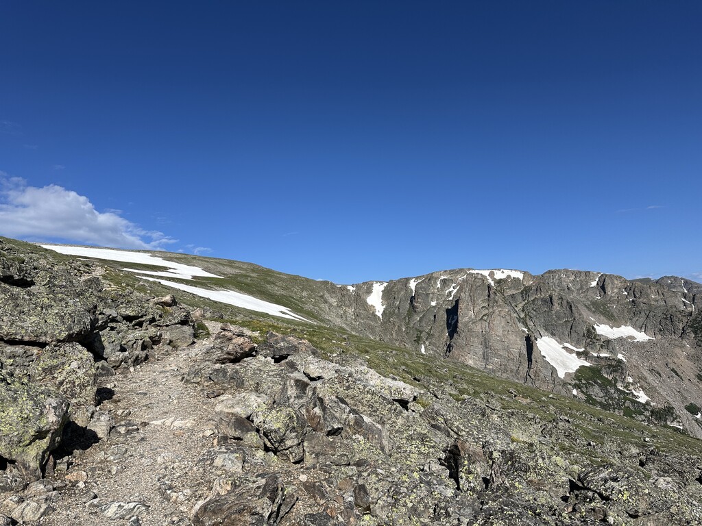
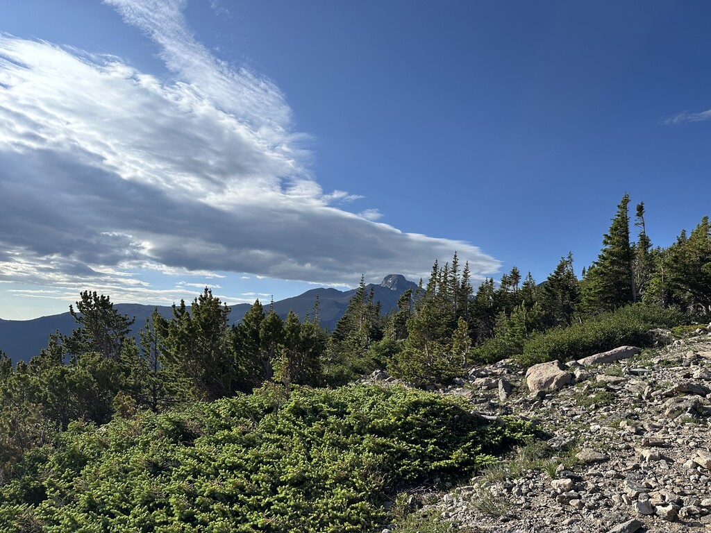
The miles went by decently quickly to the 4th of July switchbacks minus some chafing issues. The switchbacks still held some snow, but the snow fields were navigable and only 20-50 ft each.
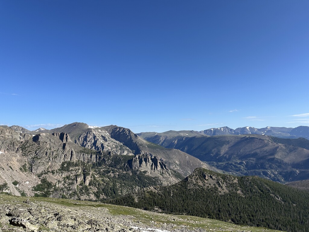
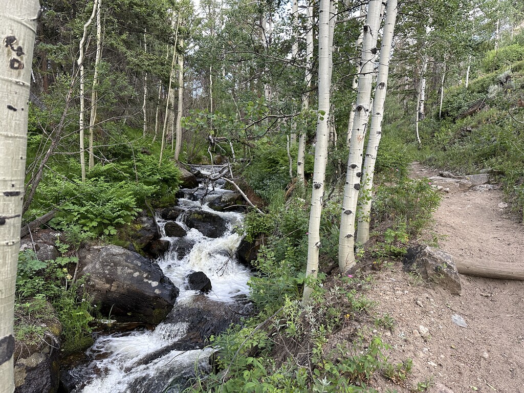
From the bottom of the switchbacks, the running was solid. The trail was mostly smooth single track with some rocks thrown in for good measure.
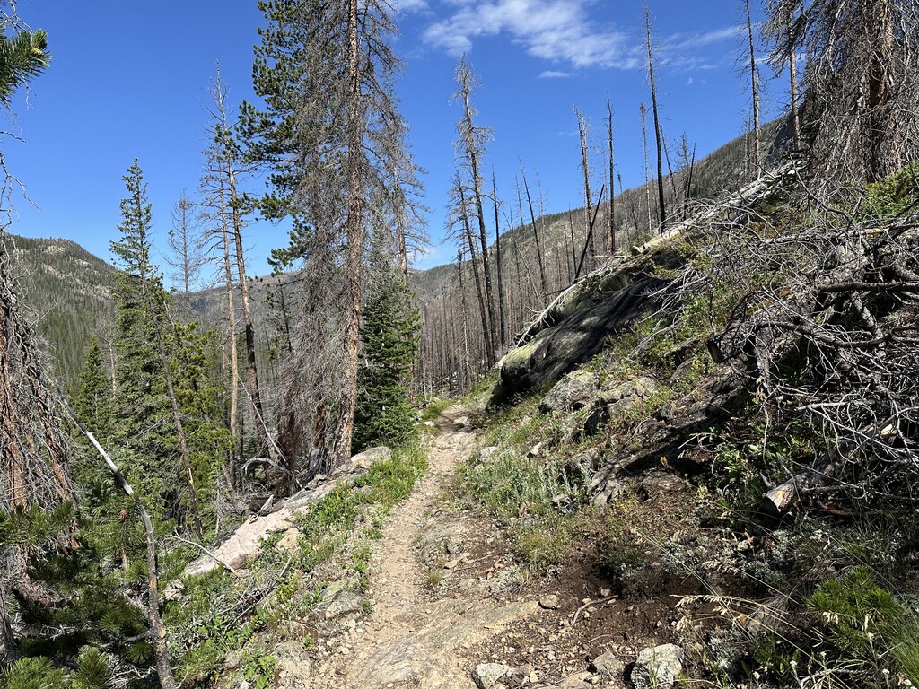
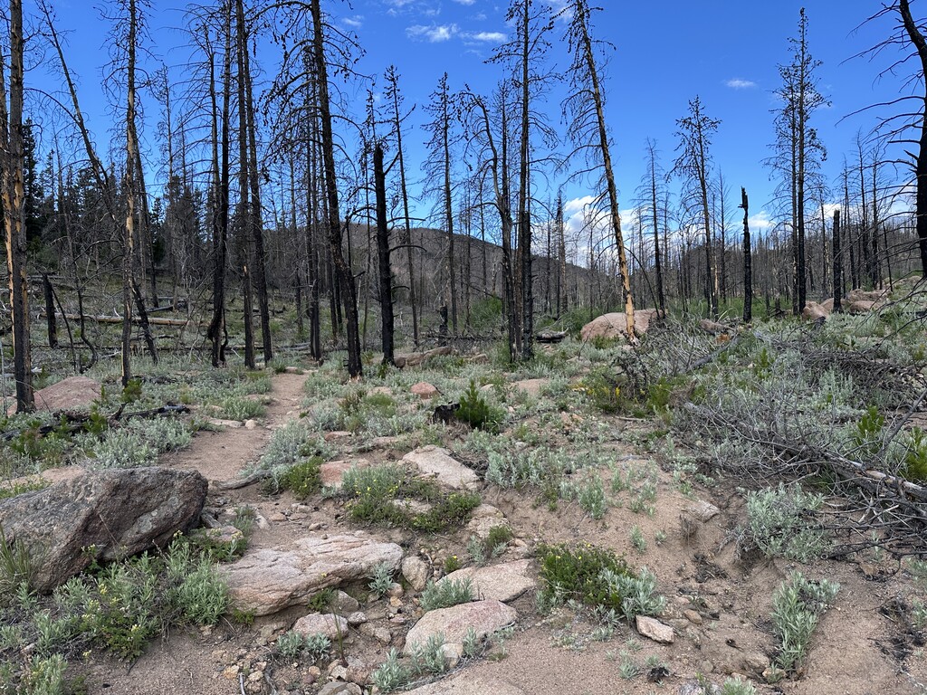
This section lasted about 7 miles until the trail became deserty and exposed due to the 2020 East Troublesome wildfire. The aspens, wildflowers, and pines are coming back nicely, though.
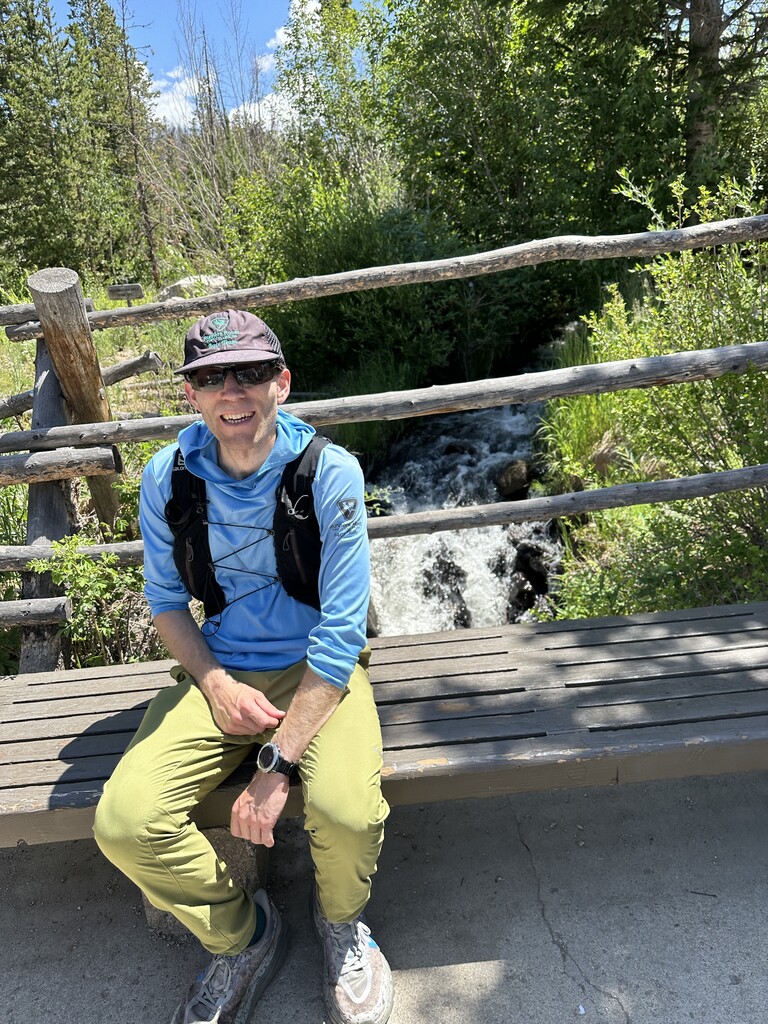
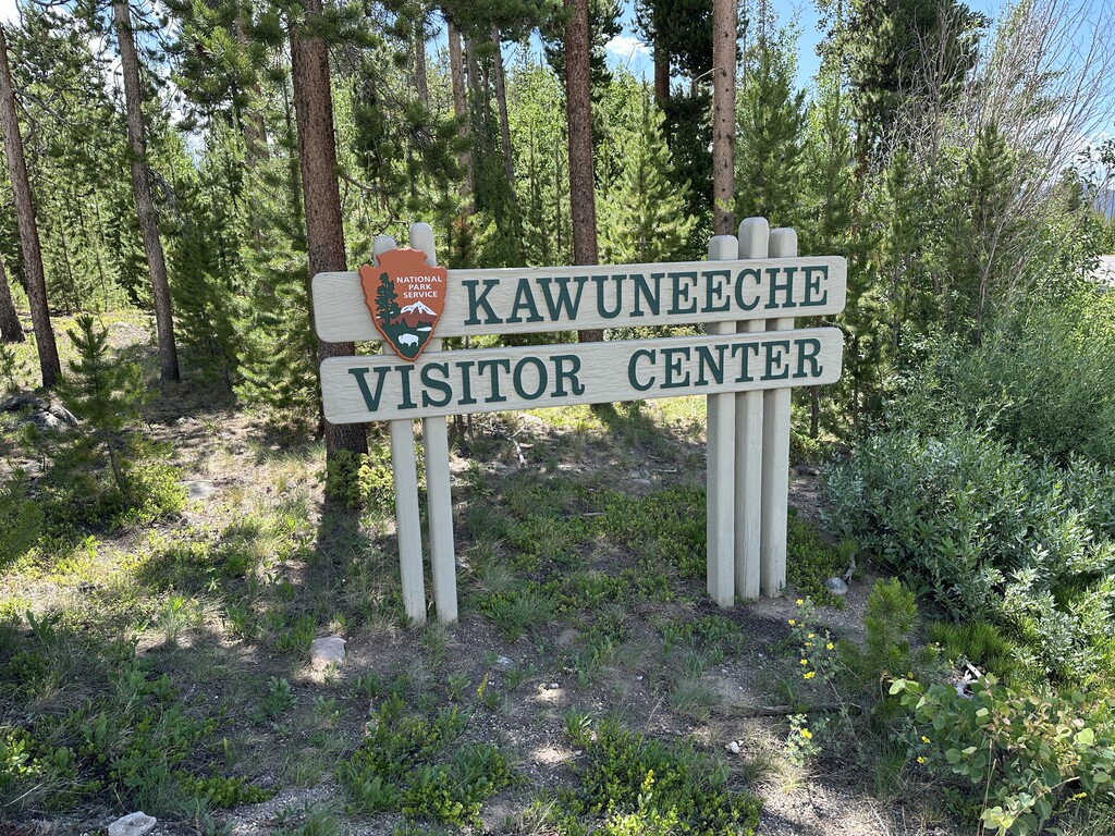
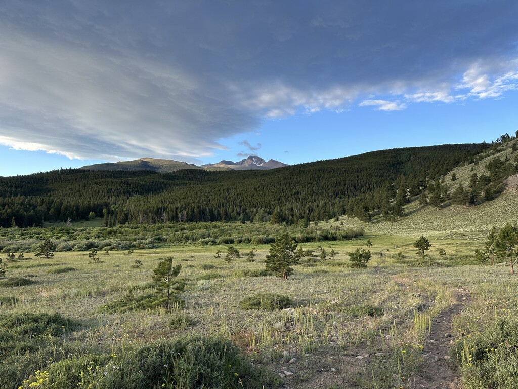
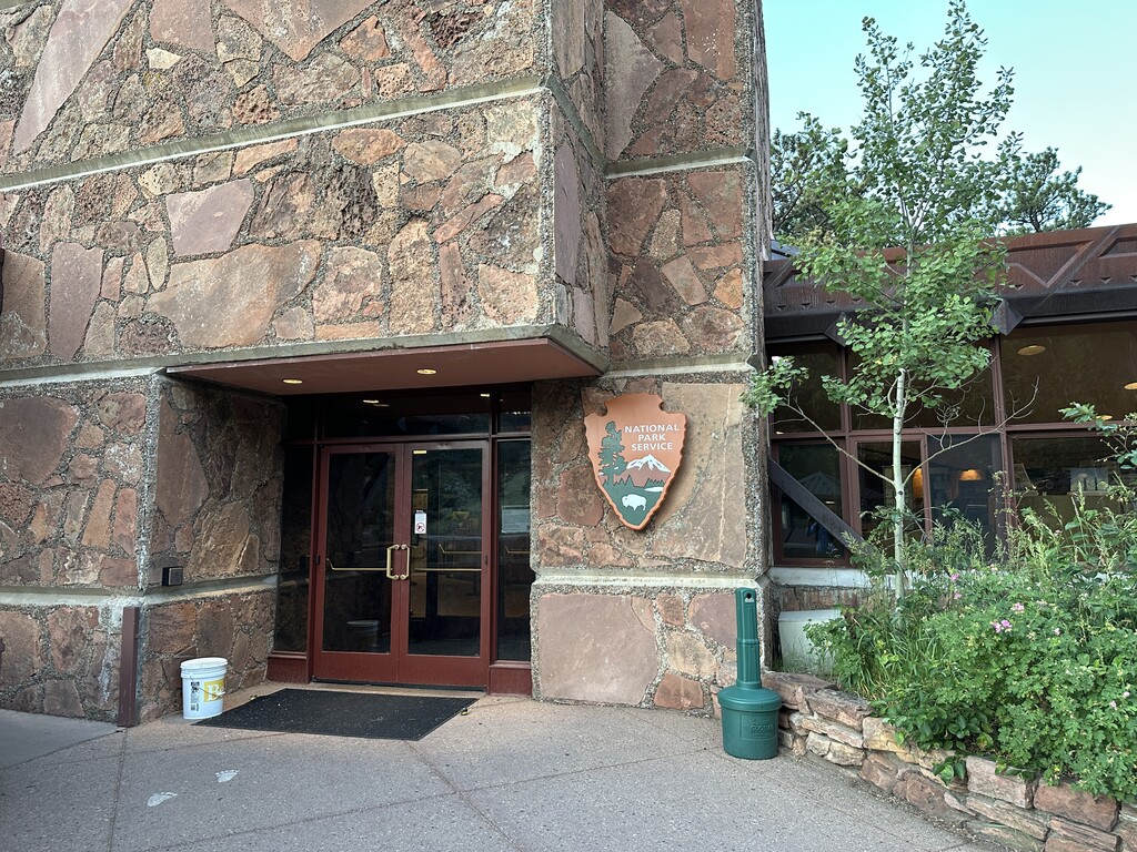
The last 6-8 miles of running were hot and sunny. My legs locked up, and I missed the alpine terrain from flattop to the 4th of July switchbacks. I eventually reached Kauwuneeche Visitor Center, stopped my watch, and took a seat on a bench. A visitor was kind enough to take my photo.
Overall, I really enjoyed this route, and I’d encourage others to do it as you get to see valley terrain, woodlands, sub alpine, and alpine areas.
Additional notes below:
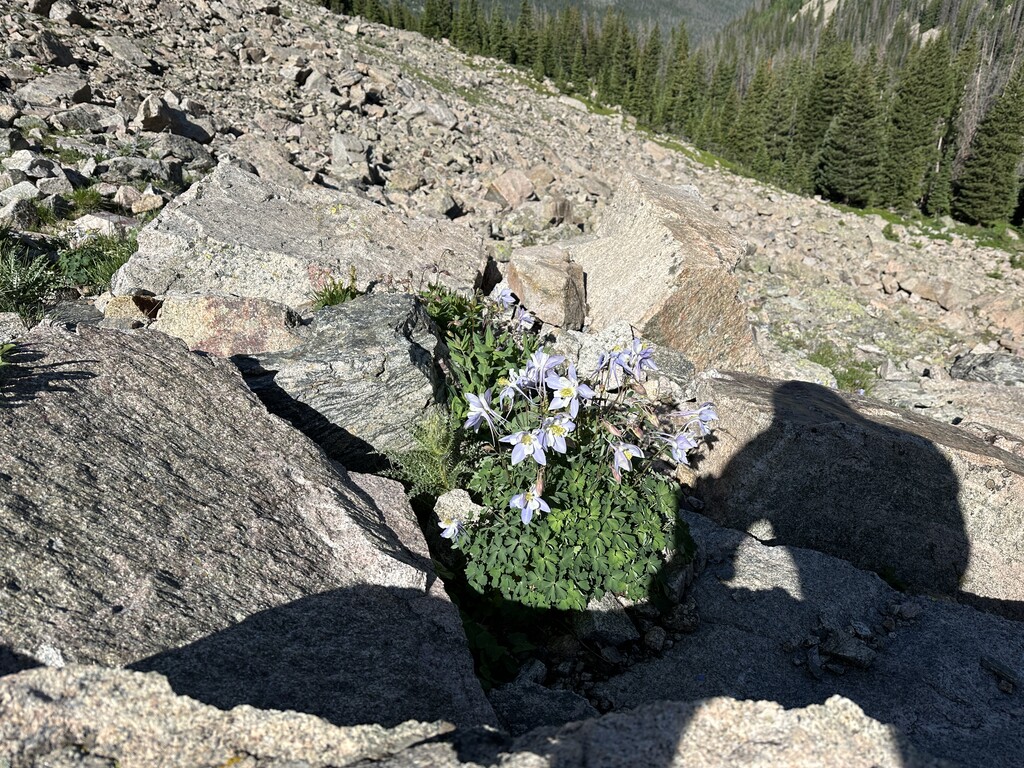
It was super green this time of year, and there were lots of wildflowers including columbines.
Hydration: I drank about 2.5 L and filtered one of those.
Nutrition: I couldn’t eat much due to stomach pain for most of the day. I managed to get down some cookies, breakfast bars, tailwind, and gummy bears, <1000 calories.
Wildlife: Birds, chipmunks, elk, deer, and pika