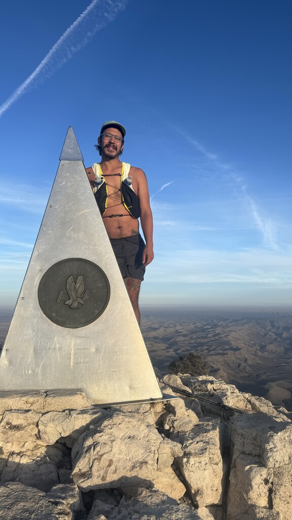
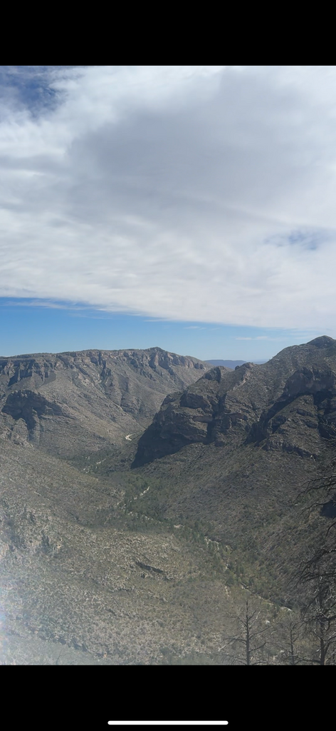
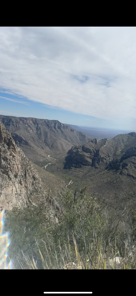
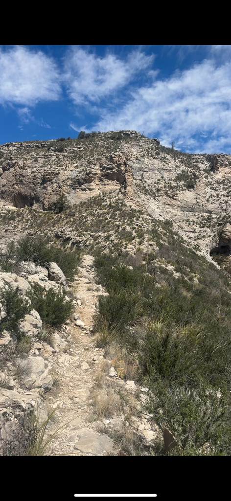
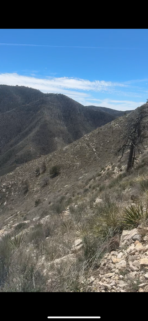
I started at McKittrick Canyon in Guadalupe Mountains National Park. Hitched a ride to the trailhead from Pine Springs campground. Ran and hiked through the mountains and finished at Guadalupe Peak, the highest point in Texas.
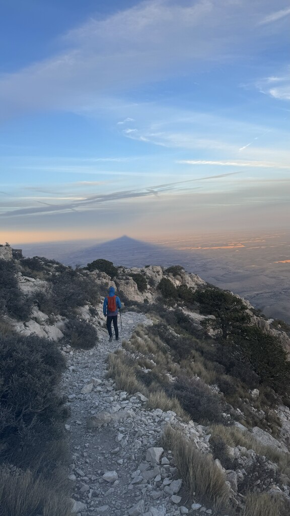
The route was strenuous, rugged, windy, rocky, and exposed for the majority of the time. It was a very tiring route as the majority of elevation gain happens over 2 sections. The first ascent includes the steepest trail in Texas.
I resupplied with food from my car when I made it to Pine Springs campground before the final ascent up Guadalupe Peak. The track should show me walking around the parking lot to the car and to the bathroom.
I resupplied with water at McKittrick campground, Tejas campground, and Pine Springs campground. A trail buddy hiked out the day before me on a solo trip and left me a liter of water at each location in a bear box. I used the water fountain at Pine Springs campground. He also was waiting for me at the top of Guadalupe Peak for the finish.
There is a slight variation from the original GPX posted on the site as there is a new trail near Mescalero campground and where the Tejas trail meets the wash near Pine Springs Campground.
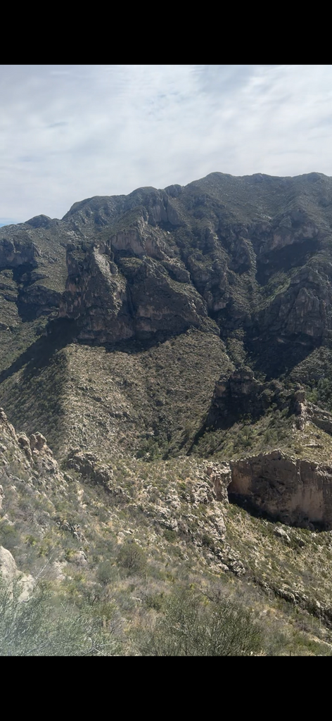
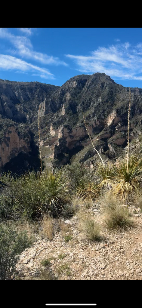
I did not take a lot of pictures but the screenshots attached are from videos and I can email those if needed for verification.