








Background
This was my 4th unsupported attempt on the Snowdonia Way Mountain Route. The route traverses the Eryri National Park (previously known as Snowdonia) and is typically done south to north, from the historical capital of Wales, Machynlleth, to Conwy Castle on the north coast. It’s approximately 125 miles in length with 10,000 metres of elevation gain and summits many of the most famous mountains in Eryri, including Cadair Idris, the Rhinogydd, Cnicht, Moelwyn Mawr, Yr Wyddfa, Moel Siabod, Glydr Fawr, Y Garn and Carnedd Dafydd, among a few others.
My first attempt was in May 2025 and ended at Pen-y-Pass, when I ran out of food, energy and time. But I learned a lot from the experience and the importance of respecting the route by taking things more slowly. The route has little tolerance for a head-on assault. I tried again later that year in August, but was stopped about 75 miles in due to heavy rain, wind and fog, all of which put me in a mild state of hypothermia just at the start of the highest sections of the route.
Another attempt followed in May 2026. With cold weather forecast, I took extra gear which made my pack especially heavy. Again I made it to Pen-y-Pass, this time in decent physical condition, but a strong storm combined with temperatures near zero meant it was unsafe to continue over the final very mountainous 50 miles. Another DNF.
My fourth successful attempt in August 2026 would be different. I would start in the north at Conwy Castle and go south. By doing this I wanted to avoid repeating the miles in the first part yet another time, and also complete the highest and steepest mountains early on when I had the most energy and the freshest feet. Although I had scheduled it for the tail end of the summer’s 5th heatwave, at least I was unlikely to end soaked and hypothermic, as I had on my two previous attempts.
Day 1
I set off just after sunrise from Conwy, carrying a good deal of extra water for the 30C or so heat which was forecast. The warm weather meant I carried minimal sleeping gear, with that and the 3 days of food being the major sources of weight. Conwy Mountain was the victim of a recent wildfire, but I was able to get through the burn zone without any problems. While the heat in the valley at Bethesda was intense, once up on the Glyderau it was much more bearable.
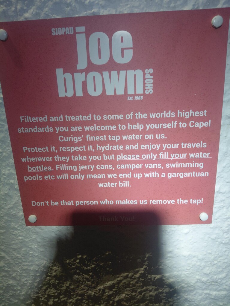
I made steady progress along this spectacular range and made it into Capel Curig just as night fell. Moel Siabod was completed during the night, but I somehow managed to get disoriented in the night mist while coming down and lost a good deal of time there.
I am not sure whether it was the heat or the exertion, but by this point I was suffering badly from nausea. This made it almost impossible to eat, a problem which dogged me for the remainder of the FKT. Although I could keep liquids down, my appetite was gone and solid foods were very hard to take in.
Day 2
The day began near the foot of Yr Wyddfa, the weather cool and misty. I joined the swarms of other hikers and Pen-y-Pass and summited via the Pyg Track. Yr Wyddfa was the only place I encountered other people (apart from in the villages), and it’s always hard to understand why this modest mountain is totally overrun while nearby ranges are either totally or nearly devoid of people.
The village of Beddgelert was crowded with holiday makers, but once a little way down the river I was back to the peace and solitude I craved. I summited Cnicht and Moelwyn Mawr and then descended into the village of Penrhyndeudraeth as night fell. I knew that the next section over the Rhinogydd was one of the most remote, and my plan was to get over it that night after a short rest. But when I pulled my headtorch from my bag, I found it had developed a fault and would not stay on - probably a damaged wire. My tiny backup headtorch would not be ideal, and my nausea was getting worse. I decided to stop at the foot of the Rhinogydd for a few hours to save battery, avoid getting stuck out up high and also (hopefully) settle my stomach. I also took a Gaviscon in hopes of keeping what little food I could take in from coming up again. This was all a huge low point, and I began to doubt my choices.
Day 3
The advantage of having three previous failed attempts, was that I now knew the final 45 miles or so very well indeed. This was a huge confidence boost, even with the problem of a broken headtorch. The main challenge of the day would be getting over Cadair Idris, and from there the hills are lower and gentler. The Gavison was also starting to work, and the nausea subsided, although eating solid food was still touch-and-go. I summited Cadair Idris late in the day and stopped at the bothy/shelter for about 90 minutes before being woken up by my own shivering. Descending off Cadair, the battery on my backup headtorch ran out, so I had to switch to using the light from my phone which was far from ideal. Dawn could not come soon enough.
The final 12 miles from Abergrynolwyn to Machynlleth were a real joy, and I even managed to run many sections, as the trails here are less rocky and overgrown. I realised I could break 75 hours if I really pushed and arrived safely at the clock tower with about 5 minutes to spare.
After a great breakfast in Machynlleth I passed out in my bivvy bag outside the public library for a few hours until my hotel room became available.
Final words
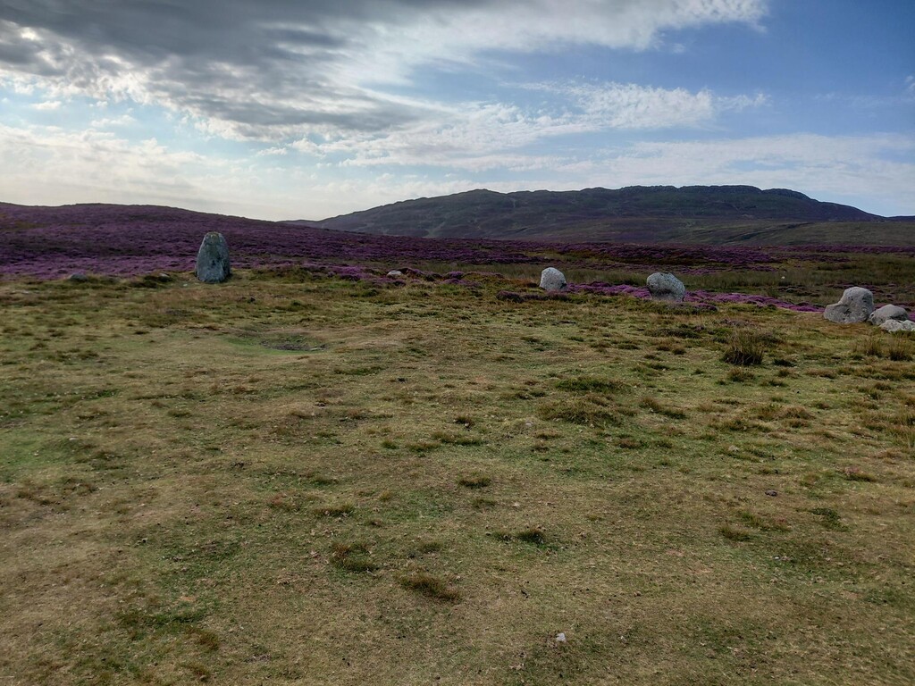
This FKT was almost two years of planning and preparation. I wanted to be challenged to my limits and I was, in every sense. The Snowdonia Way Mountain Route is very hard to surpass in the UK in terms of beauty, terrain and a sense of remoteness. While there are no doubt higher and more spectacular areas in Scotland, the Snowdonia Way is fully accessible by public transport and if you do get into trouble (which is pretty easy to do), escaping to safety is not too much of a problem.
Finding water along the route was more difficult on this attempt, due to the long drought, but I knew the likely water sources and simply took extra bottles and was able to filter at least twice a day. The route is entirely unmarked and in places there is no obvious trail. Bushwacking through miles of heather, bracken and brambles is required.
This was my longest unsupported FKT and by far the most rewarding. I’d like to see if I can take on something slightly longer, so I will be giving that some thought.