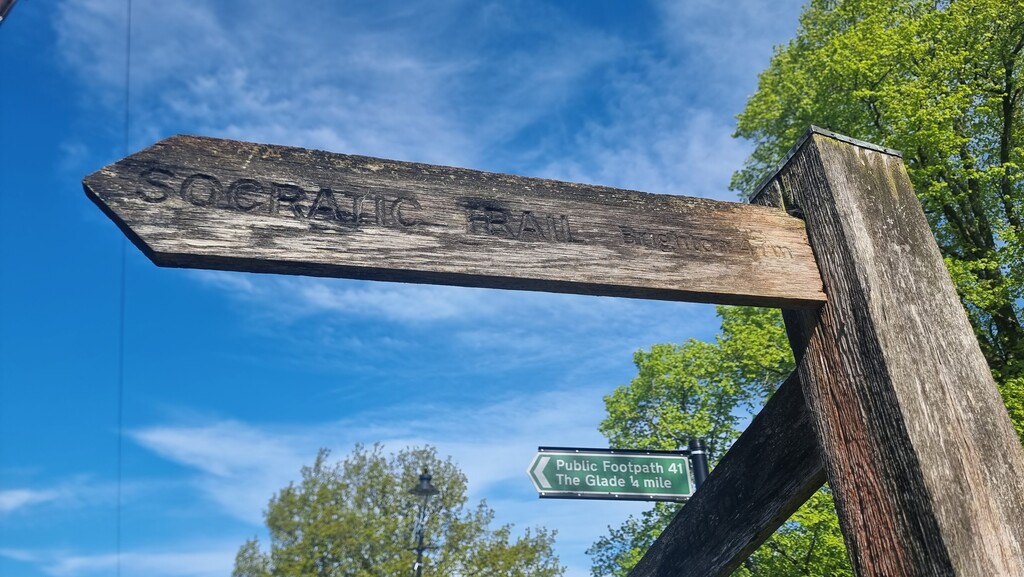


This was a three-day supported mini thru-hike of the Socratic Trail, that runs for around 47.5 miles from the south of London, down to Brighton on the south coast of England. Whilst I was only hiking, and not travelling at any particularly fast pace, I thought I might as well submit an FKT for it as there's no other entry yet! I was tracking my hike using both Strava and AllTrails, pausing both during the night and when (if I remembered) I took any longer breaks.
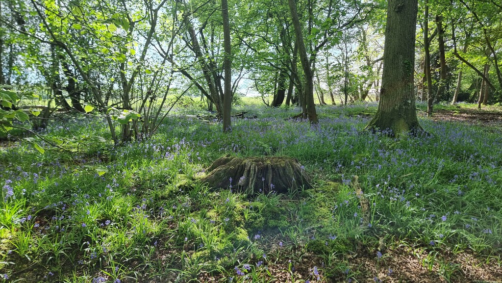
I started on Saturday 4th May 2024, hiking up to Old Coulsdon from Coulsdon South station, starting the actual trail a 9:18am. Weather on the first day was great, with only a couple of short rain showers. I stopped briefly in Chaldon to look around the 1000 year old church there, then in Merstham where I bought lunch/supplies, and then made it 25.6km / just under 16miles of the route to Copthorne in West Sussex, where I stayed the night.
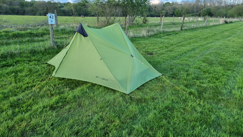
I started off again at 9am on Sunday 5th May, continuing on from Copthorne, picking up some supplies from the village shop on the way. Weather was overcast, with a scattering of rain, and lots of mud the further south I got, which slowed progress!! I had a small break at Ardingly, got off trail briefly just afterwards at Ardingly Showground to pick up a new USB charging cable, then carried on to Lindfield, where I went off trail to have a late lunch, before carrying on. In all, I hiked 26.6km / 16.53miles of the trail down to Wivelsfield in East Sussex, where I got off-trail to camp for the night.
During the night, the rain started, a bad sign for the final day of the hike! I was up early, packed up in the rain and back on-trail at Wivelsfield at around 7:15am on Monday 6th. There was a lot of mud and flooding from then on, from Wivelsfield right down to the South Downs. I carried on, despite the torrential rain, taking a short break in a tunnel under the railway line near Plumpton. The trail here was particularly hard to follow as it crossed farms and flooded fields, and it was difficult to keep checking mapping apps in all the rain; I had several close-encounters with sheep / rams, horses, cows and electric fences along the way! A few wrong-turns were made, which had to be back-tracked! Throughout all of this, the rain/moisture meant my phone was refusing to charge, so I was in a race against time with the remaining battery life I had. By the time I got up onto the South Downs, the rain subsided a little, but my phone and charger were still too damp to work (despite having been kept under waterproofed clothing! I managed to make it down off Falmer Hill into Bevendean, a district of Brighton, when my phone battery died. Luckily, I found a bus stop nearby and was able to travel further into Brighton and make my way to a cafe, where I tried off my kit and finally managed to get my phone charging again. I got a bus back to where I left the trail; miraculously, when I opened the Strava app, it had recovered my hike data and allowed me to continue on seamlessly. My AllTrails tracking, however, seems sadly to have been lost and only logs from Bevendean onwards. I carried on for the last few miles, before completing the hike on Brighton seafront, near the marina, at 4:35pm.
The hike started 9:18am Saturday 4th May, ending 4:35pm Monday 6th May, with a total elapsed time of 55:17:13.
Whilst only a few photographs were taken along the way, I have videoed my entire journey (hence the phone battery issues!) and will be editing this across the coming weeks / months to put on YouTube.