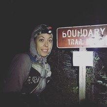
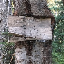
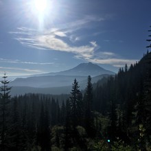
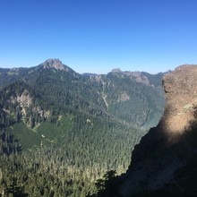
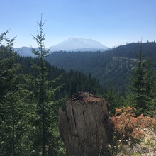
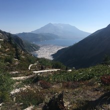
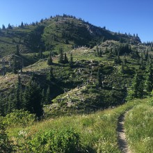
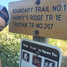
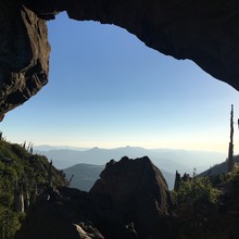
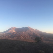
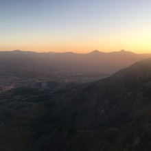
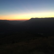
It is approximately 58 miles, 11.3K gain, and 12K loss according to my Garmin track, which was on UltraTrac at times (which is why the track is 63 miles). Web research suggested the trail was 53-58 miles, and had 12.5-15K gain, and more loss. On paper the route doesn't look difficult with the exception of it being in the backcountry and very littlle water along the way. The first 28 miles where on dirt bike trails, which made for difficult running. The trail was was rutted and steep with very few switchbacks, but was thankfully covered for much of the way. After Elks Pass TH the trail turned to runnable single track, but became increasingly exposed. There are only two places to get water. There is a pump at Norway Pass TH, and a creek 2 miles away. This was an issue most of the day. The entire trail offers spectacle views of Adams, Rainer, St. Helens, and many more mountains. Huckleberries and blueberries line the trail.
Athletes
Route
Route variation
Standard route
Gender category
Female
Style
Supported
Finish date
Total time
15h
59m
17s
Verification
GPS track(s)
Boundary_Trail_1_.gpx811.28 KB
Report

