
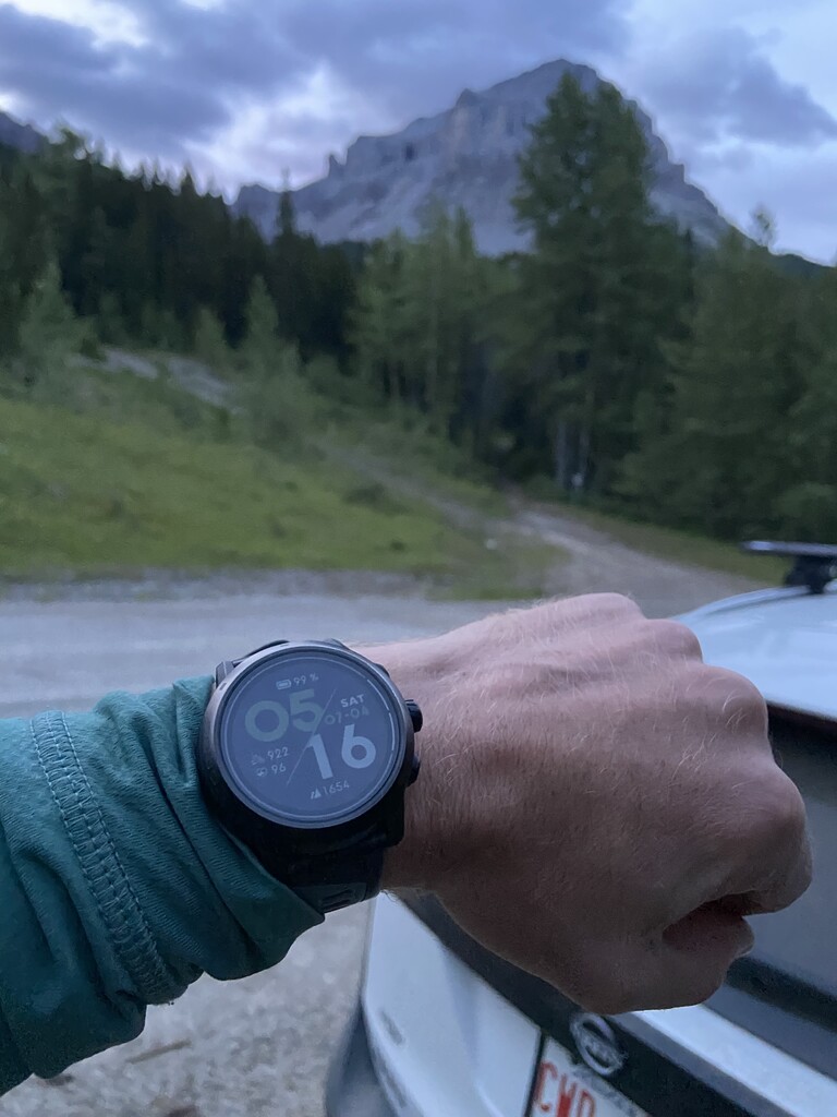


I started the High Five Peaks Only route at the Crowsnest Mountain Trailhead at 5:16 AM on July 4, 2026, and finished at 4:24 AM on July 5, 2026, for a total time of 23h 8m and 38s.
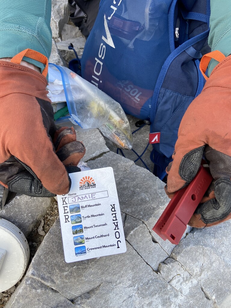
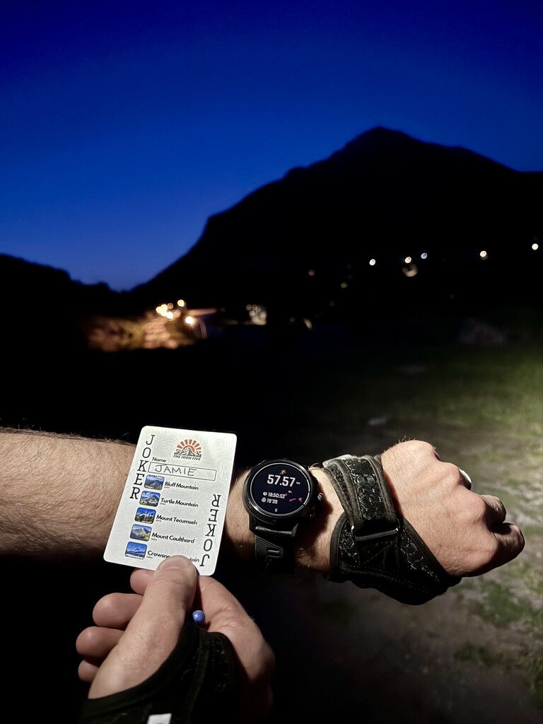
Overall, this was a really fun day on five amazing mountains, each with its own character and feel. I had been wanting to connect these five peaks in a day for a long time and last year learnt that Matt Shepard was thinking of a similar route (he was planning on running continuously) so we added some Silva orienteering punches to the summit registers and designed a deck of High Five playing cards where the Joker card can be used as the punch card to make tagging the peaks more fun while also helping track progress. You can pick up a punch card for the High Five at the running store in Blairmore called spry.
For the Peaks Only variation of this route (since you can use a vehicle to drive between peaks) I think it is important to start each mountain from the normal hiking trailheads where on highway vehicles are permitted to drive up to. For Crowsnest there is really only one option starting at Atlas Road. For Tecumseh, I think the most appropriate option is parking in BC in the parking lot behind the welcome to BC sign rather than parking in AB and using the off trail route used by Shep on his Standard Route attempt. I, however, think that for the Standard Route Shep’s variation was a great option and hope that others will continue to find the most efficient routes and fastest way up these five mountains. For this variation, Coulthard’s trailhead is at the on highway vehicle turnaround on the York Creek road on the way to the plane crash. Motorized vehicles or bicycles should not be used to gain access to the plane crash for a Peaks Only FKT. The parking for Turtle is on the dirt road above the last row of houses in Blairmore where there are signs for the trailhead and parking. Bluff has two options, the first being near the river and highway bridge (where the Minotaur race course goes) and the second at the cemetery parking on the north side of the highway.
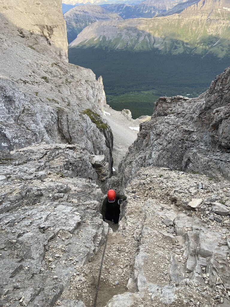
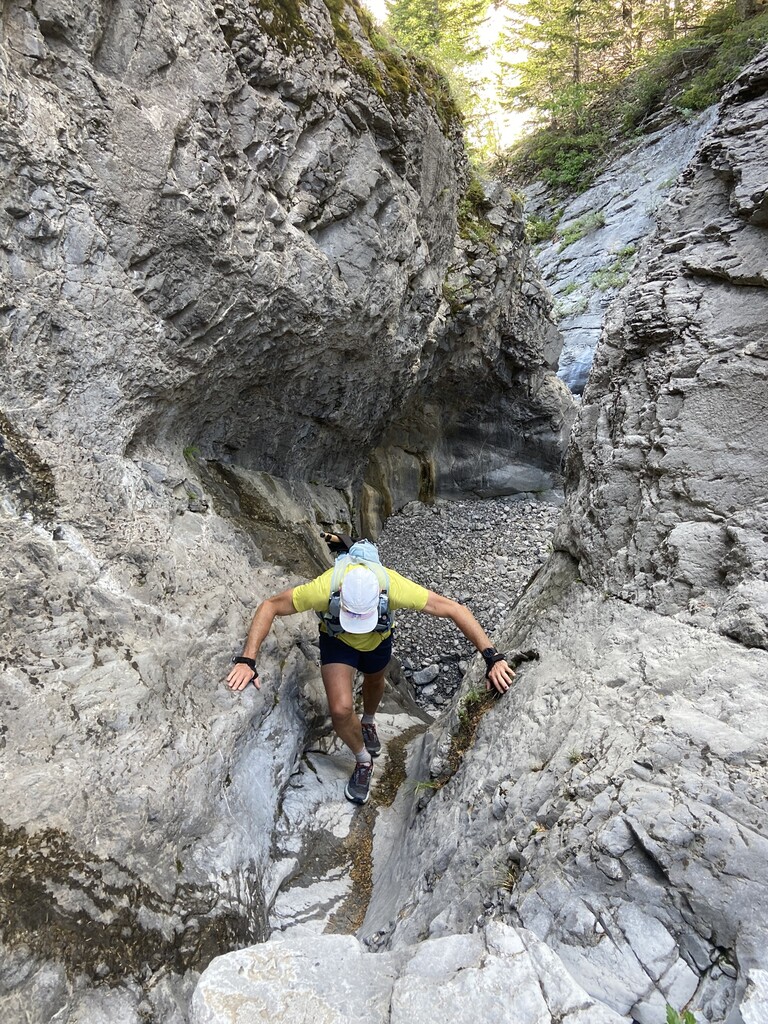
For the first peak, Crowsnest Mountain, I parked at the standard trailhead and was joined by Jason Luchtefeld. I started my watch as we left the car and we were pleased to find the entire mountain to ourselves as there is a bit of exposure to loose rock on this route. After returning to the car we drove back to the highway on the bumpy gravel Atlas Road where I said goodbye to Jason and jumped into my Dad's (Ian Lowe-Wylde) vehicle and we headed off to the Tecumseh trailhead parking in BC.
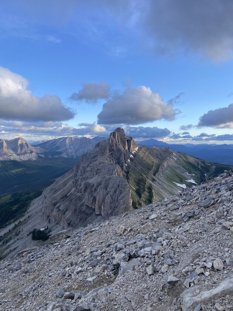
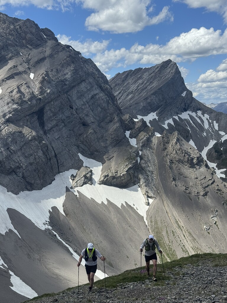
We summited Tecumseh after getting water from the stream in the alpine. The Tecumseh trail is amazing and is just the right combination of good trails, off trail alpine, and a long exposed ridge to the summit. After a quick transition in the parking lot, we drove to Coleman and took the gravel road past the York Creek staging area and parked at the turn around and vehicle parking for the trail to the plane crash and Coulthard. Kristi Dolson surprised us with some great "crew cheering" and brought cold drinks, cookies, and high fives! The dirt road to the plane crash is very popular with motorized off-highway vehicles and is rutted out and muddy in spring and early summer. For Coulthard, we picked up Adam Lee who joined me and my Dad to the summit and back. There are lots of opportunities to refill water on this leg, from the car all the way into the alpine, even in late summer. Unlike what is recorded on some maps, the true summit of Coulthard (and where you will find the High Five punch) is on the peak farthest to the east. We were really pleased to find some good low angle patches of snow to slide on the way down. After Coulthard I was feeling really good and we headed to Blairmore for the second to last peak.
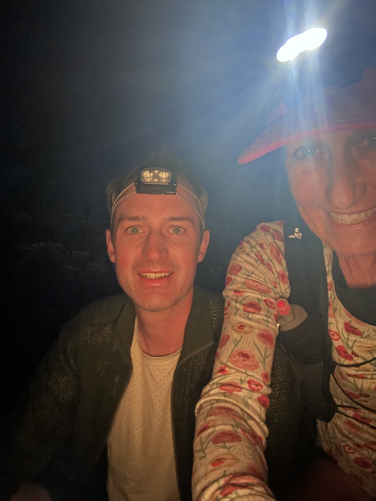
At the Turtle Mountain trailhead, I said goodbye to my Dad and hello to my Mom (Susan Lowe-Wylde) and Michele and Caleb Shulz. Kirsti was there again to cheer me on and Briar Lowe-Wylde (my sister) and her children helped me reload my bag and gave the best high fives. We started up Turtle during the hottest part of the day and as we approached the false summit, the rails began to come off and I continually vomited and was not able to keep any food or water down until later that night. Don't underestimate the length, exposure, and complexities of Turtle's summit ridge as the rock that didn't slide down to Frank in 1903 has left large steps and rock crevasses you need to negotiate (it's really cool and fun scrambling though). There is no water on the peak but I was able to find one patch of snow to reload my ice bandana. I made it back to the car an hour and fifteen mins over planned time and decided that if I couldn't stomach any food or water that would be the end of my attempt. Fortunately, after a one-hour nap and at my parents' house and a total break of 2 hour and 45 min, I was able to eat a cup of soup and my Mom and I headed up Bluff at around 1:30am.
For Bluff, we drove to the cemetery, which is the normal parking for the trails on Bluff Mountain (also known as Goat Mountain) and we headed up the direct forested trail up the broad west ridge. The middle part of this trail is less frequently used but is nice and easy to follow. Eventually the trail connects with the down route used by the Minitaur race and you can follow that to the summit. Everything went much better on Bluff and we made our way steadily to the top and back to the car in just under 3 hours.
While the last 2 peaks didn't go as planned, the day was really fun, and I was so lucky to be supported by the amazing people and the best running community. I hope that many others will be inspired to do the route in this style, which was a lot of fun as it focuses your time on the most interesting terrain and your vehicle becomes a moving aid station! I’d be happy to share any beta for this route with anyone who wants to give the High Five a go.