
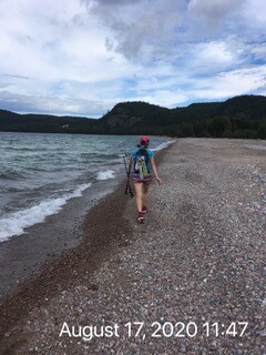
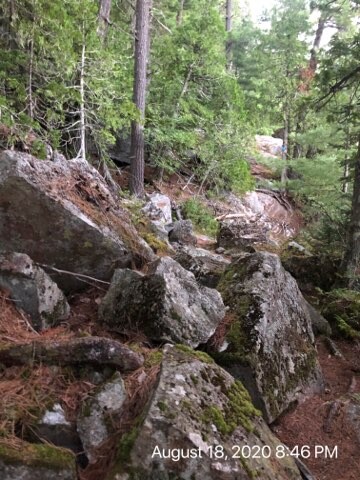
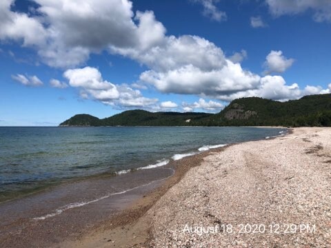
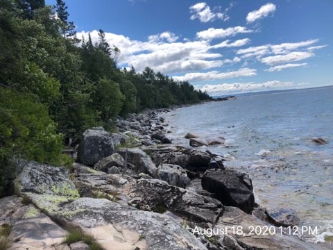

We decided to complete this trail as an **out and back** so we would have a way back to our car. We arrived in Agawa Bay Sunday night so we could get at least a few hours of sleep before we started early Monday morning. We started at 3AM in perfect weather conditions. The trail starts off flat and non-technical, but that quickly changed at approximately 6km where the terrain quickly dictated how things were going to be for the next 40+hours. Chantal and I (Jamieson), were thankful for our light packs. It allowed us to safely maneuver over the many +++ rocks along the way. These rocks ranged in sizes from trillions of small pebbles to boulders as big as our house. We were incredibly grateful it didn't rain, as these rocks are known to be very slippery when wet.
Doing our due-diligence, Chantal and I researched the trail and knew there were 4 sections (one way) that lead us to hwy 17 to detour around rivers. What we didn't know was these sections were tricky to find and we spent some extra time going back and forth looking for them (poorly marked), to ensure we covered the entire trail. Because we did our FKT in late August (low water levels), it would have been easy to continue along the beaches and miss the sections to the highway and back. We spent extra time looking for the trail and it was frustrating at the time, however, if missed, you wouldn't be completed the trail as shown on the map and thus cutting off major mileage.
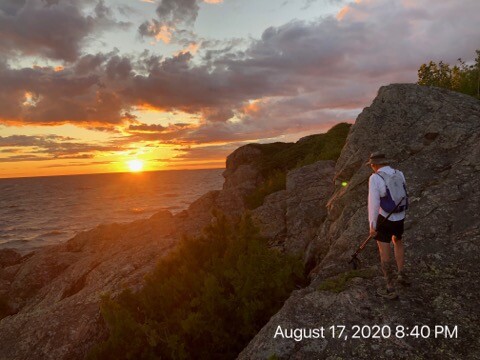
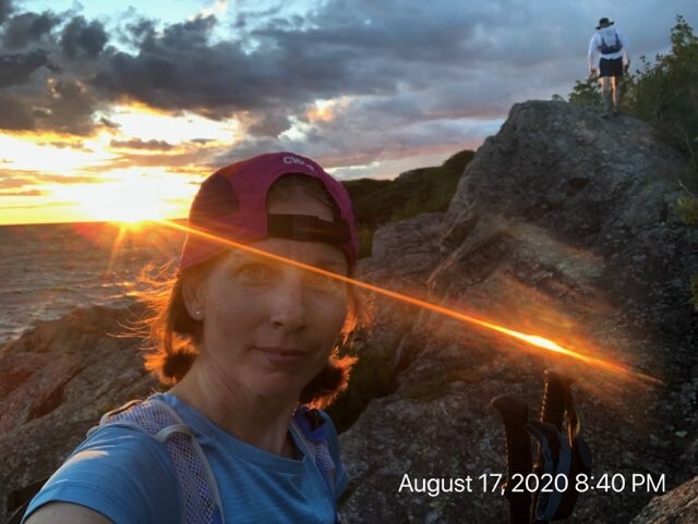
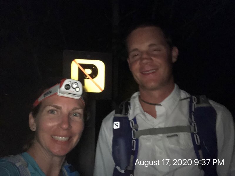
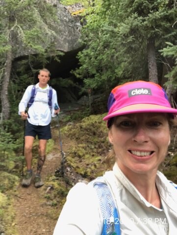
We reached Gargantua Rd at 9:37PM Monday night, took our picture and headed back to a nearby campsite where we slept 3hrs. Knowing that there was an insanely dangerous section up ahead, we wanted time to sleep so we could do that section in the daylight. (Personal opinion: We wouldn't recommend any runner/hiker do that in the dark, unless they have a very bright headlight. Even then, use extreme caution).
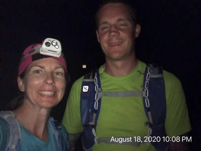
No matter how you slice it, this is a difficult trail. Chantal had the misfortune of falling down between 2 boulders but thankfully didn't hurt herself significantly. (Bruised but no broken bones - picture attached). It was really nice to push forward and see the beautiful landscape we missed in the dark the day prior. Eventually though, we were getting excited to finish. Dirty, tired but thrilled, we arrived back at the visitors center at 10:08PM. What an adventure it was!! We are happy we did it together :)
Total distance (out and back): 113 km *including some navigational challenges.
Notes:
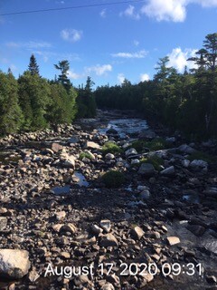
- Lake Superior offered many opportunities for water refills
- We carried all of our food/gear and dropped a quarter of our food at the 20 mile marker to replenish for our return trip home
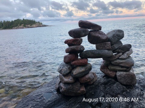
- It was nice to see many hikers on the trail. The campsites along the way were pristine!
- Gear: BeFree filter, Altra shoes, SOL Emergency Bivy and lots of food