


Carmen's:
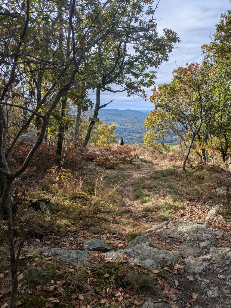
The day began at 4:30am at the Hoyt road entrance to the Appalachian trail, near the Connecticut and NY stateline. Jana and I chipped away at a decent pace and were excited for sunrise so we could see the surroundings. We really appreciated the view points from the mountain summits, which were breathtaking. The trees are starting to turn fall colors and it was a gorgeous day. The trail’s detour at Macedonia road was well marked, so no problem navigating it. We really enjoyed getting to the flat stretch along the Housatonic River where we could open up and run a few faster miles.
Around Amesville, we could not find a water source because the streams were dry. We went a few hours without and finally found a water pipe. Much relieved, we filled up for the last time.
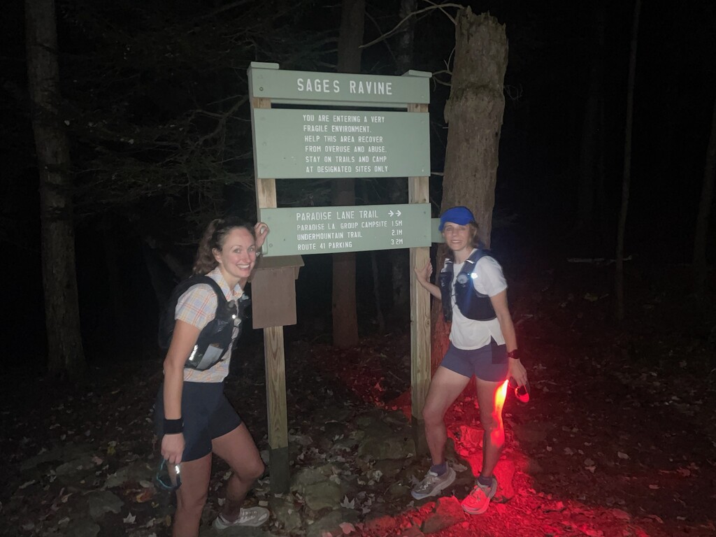
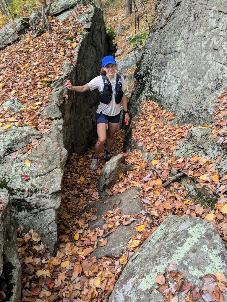
Once past Salisbury, we thought we were closer to the end that we actually were. We summited Lion’s Head and mistook it for the last climb. Then we saw the sign for Bear mountain which mentally was a low point knowing we had a final push. The last two miles caught us by surprise by how difficult the climb and rock scramble descent were. It was our slowest mile by far – a cruel ending to an otherwise beautiful day. We were thrilled to find the Sage Ravine sign and our mood instantly shifted. We’re so happy to have a great day on the trail.
Jana's:
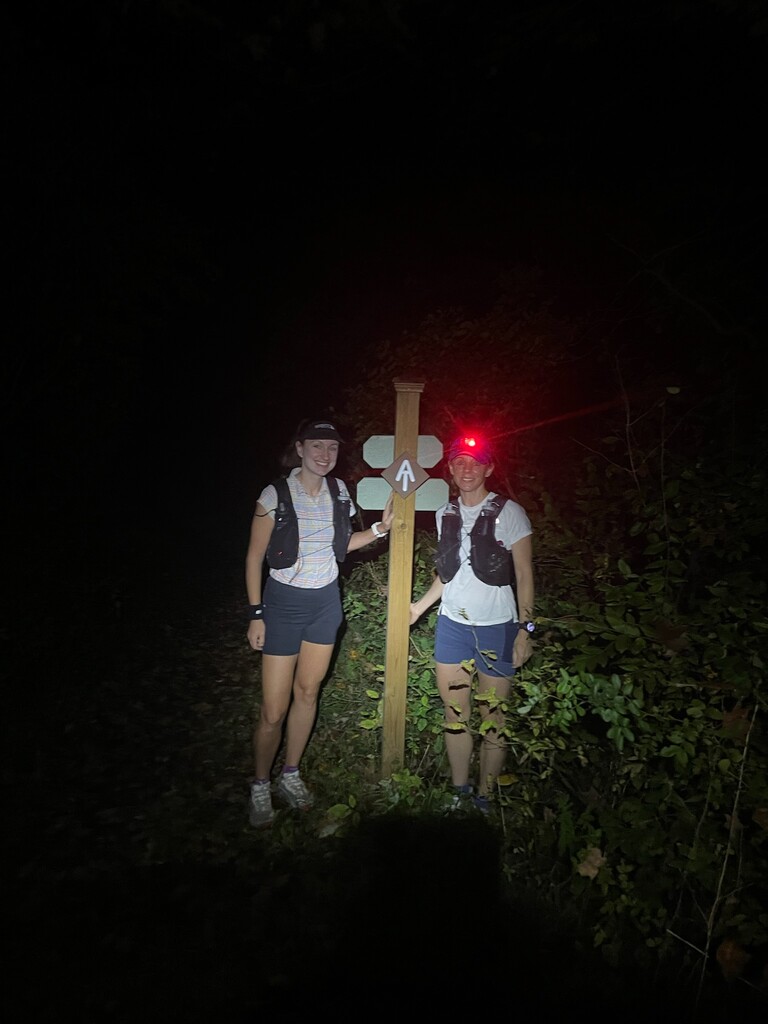
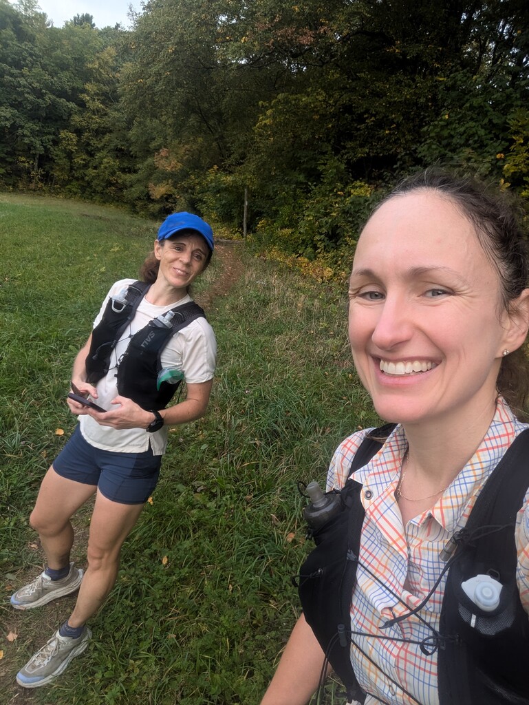
After saying our goodbyes to Carmen’s husband Brian and covering ourselves in Deet, on Saturday September 28th at 6:34a.m., Carmen and I set off on our unsupported adventure Northbound (NOBO) on the Connecticut section of the Appalachian Trail.
We carried heavy packs filled with emergency medical supplies, water, honey stinger waffles, Scratch gummies and electrolyte packets, potatoes, PB&J's, Neversecond gels, fig bars, and cheese sandwiches.
This was my second attempt at this route and I vowed to not repeat the same mistakes as last time when I ran during a drought. For the unsupported attempt, Carmen and I planned out our water strategy by mapping out all streams and springs. Even so, we got pretty desperate for water between miles 35 and 39.
As for the trail itself, it was fantastic. The first climb up Gardner seemed to fly by - probably because it was dark and Carmen and I were fresh. We were making good progress, but there were points in the beginning that had me a little concerned. Before we could see well, I brushed a rose bush with my hand and suddenly had thorns I had to remove from my fingers.
Around mile 8 or so, on the descent, I then took a fall that left both of my knees bruised up. Ooof, what an ominous start. However, Carmen, Lucky Charm, was my good luck charm. The thorns came out without breaking and my knees, besides having a few scrapes, were fine.
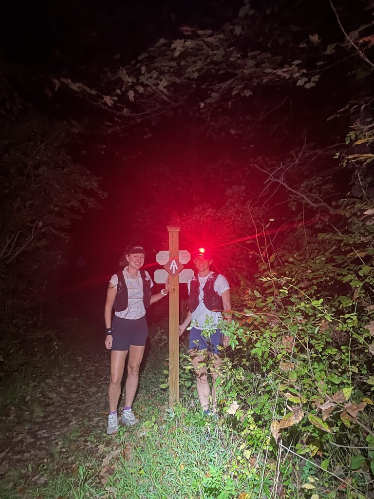
After this, we were a bit more cautious. There was a small creek that we used to fill up our water. We had a few more climbs before hitting the flat river section. At this point we accelerated a bit and got some good miles under our feet. There was a small detour where a bridge was washed away just past Macedonia Rd. - I know it added a little to our journey - maybe half a mile?
The end of the flat river section has a delightful spring with a PVC pipe spout where we filled up our bottles (for a second time). It was late morning at this point and we were beginning to see folks on the trail with their adorable dogs. I think the section was my favorite as we were still relatively fresh, had good water, and saw a few lovely vistas. However, since it has been dry the last few weeks, many of the creeks and streams we were hoping to depend on were dried up. By mile 35 or so we were running out of water, but I was too cautious (overly, perhaps?) and wouldn't let us take water from a source that wasn't flowing properly or felt that it could be contaminated (even though Carmen had a filter and I was using iodine tablets.) We finally made it to a pvc pipe/spring/stream/runoff after the second river crossing that looked ok and filled our waters up around mile 39. I don't think this was marked on our water map, as there was another spring a mile later, but I don't think we'll get giardia.
After pouring some water on us to cool off and getting our fill, we were on our way to finish this trek. We had a significant portion of climbing left and we took turns leading the way. One mistake we made toward the end, probably because it was dark, we were tired, and we wanted to be done, is that we thought the Lion’s mane climb was our last (lol, it was not.) From what I thought I saw on the map, I was under the impression that Bear Mt. was going to be a relatively straight shot up. However, there are two climbs - one up to the ridge and Lion’s mane, then there's a longer runnable section before the Bear Mountain climb.
Before the Bear Mountain climb, there is a sign that says that Sage’s Ravine is 1.7 miles away. This is when Carmen and I both hit a bit of wall. The last 1.7 miles took us way longer than we thought and on the way down the scramble the last half mile, Carmen took a fall. Luckily she fell without injuring herself. We only had about a quarter of a mile to go so we went a little more cautiously…again. Finally, we saw the headlamp in the distance - it was Brian's!
Brian was at the bottom of Sage's Ravine waiting for us with cookies, cool drinks, and warm clothes. Honestly, that kept me going even though I wanted to stop about 50 times. We stopped at the Sage's Ravine sign which is just a few feet past the border. If you're running in the dark, you might even miss the border sign (we did!) which is probably why the large and prominent Sage's Ravine sign is the end point of this segment. OOF what a great and exhausting day on the trail!