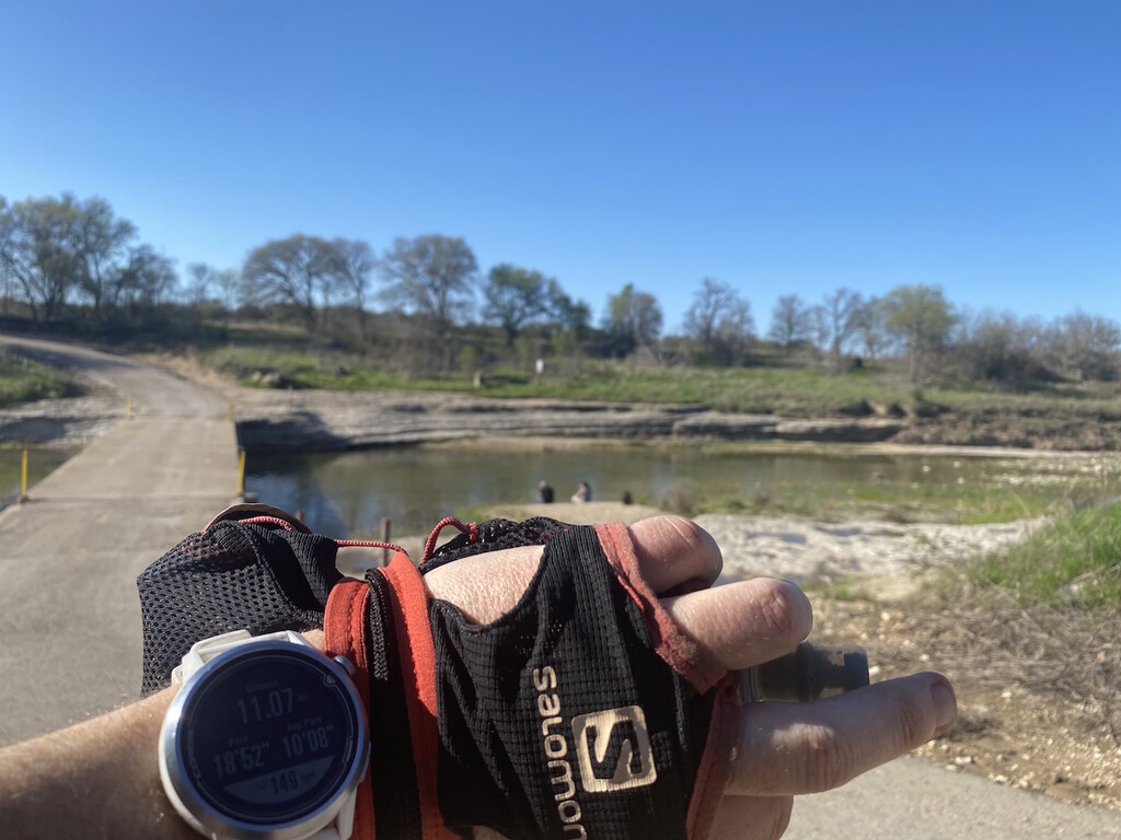
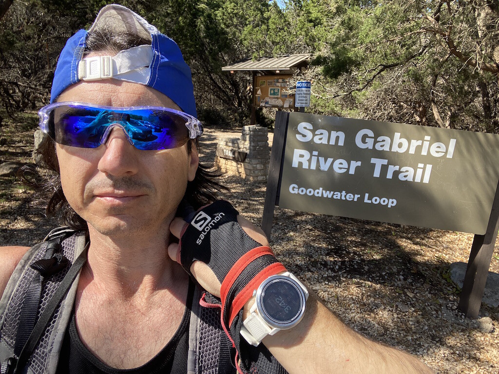
I ran this loop solo and unsupported in the afternoon, beginning at the Cedar Breaks Park TH and running CW. I carried a few gels and 2 flasks of water.
My initial goal was to beat the supported time even though it wasn't necessary. But the trail was a bit more technical the first 7 miles than I expected and I'm not in as good of condition as I could be. Starting at Cedar Breaks going CW will keep the milemarkers in sync and theyre very accurate. This will help you make sure you're on the correct route. I used the original creator's gpx in my Coros watch. This saved me a few times from wasting time on diversion trails. The turns are not marked so following a gpx in your watch is recommended.
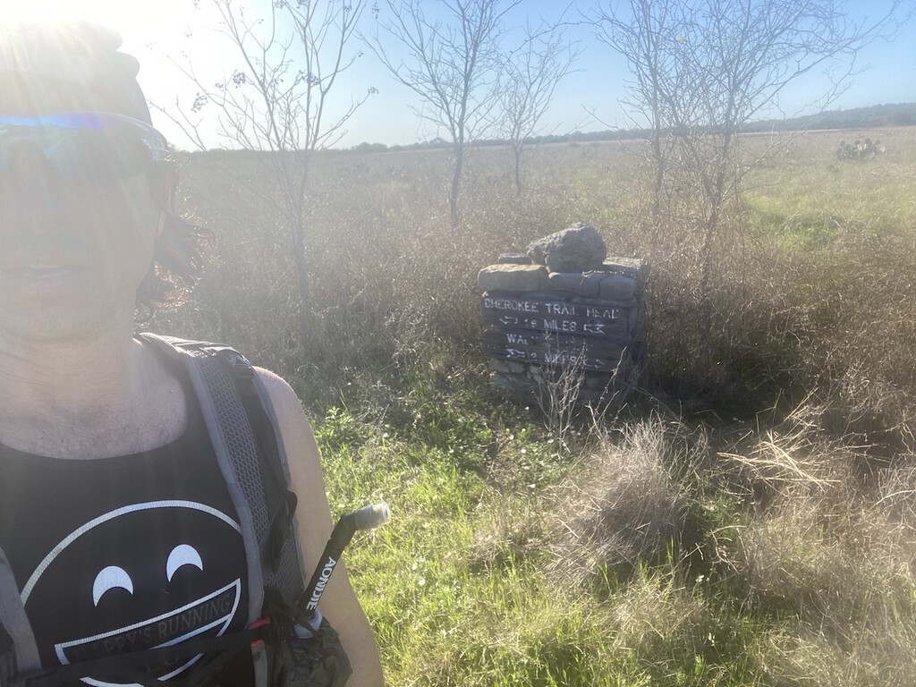
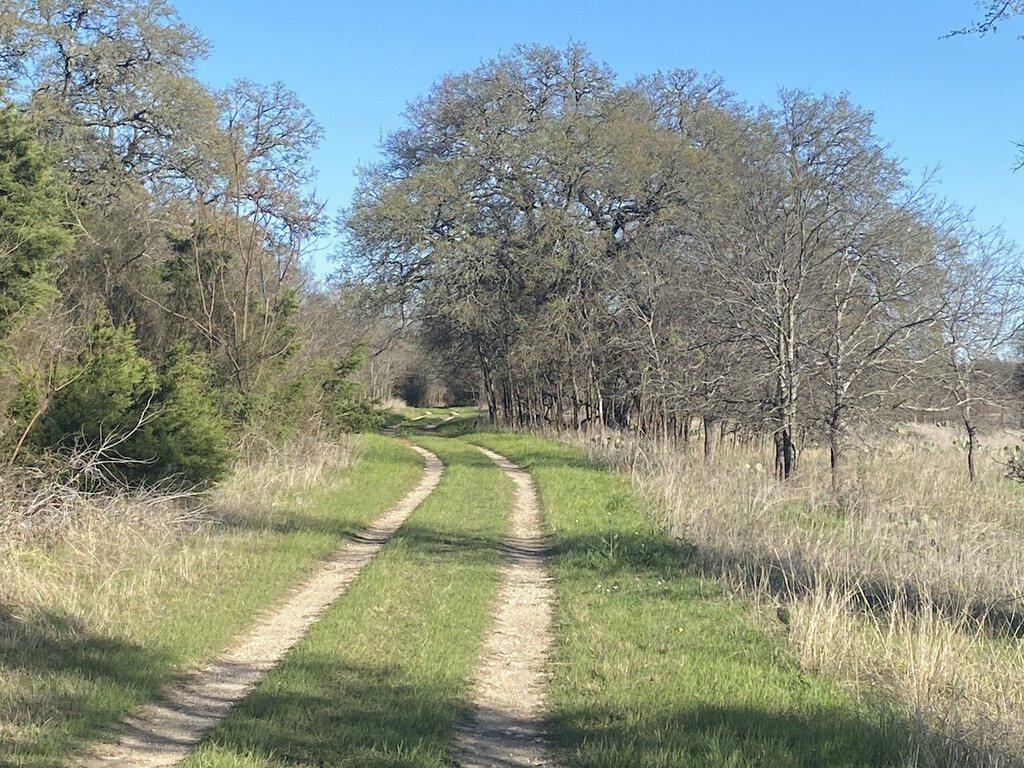
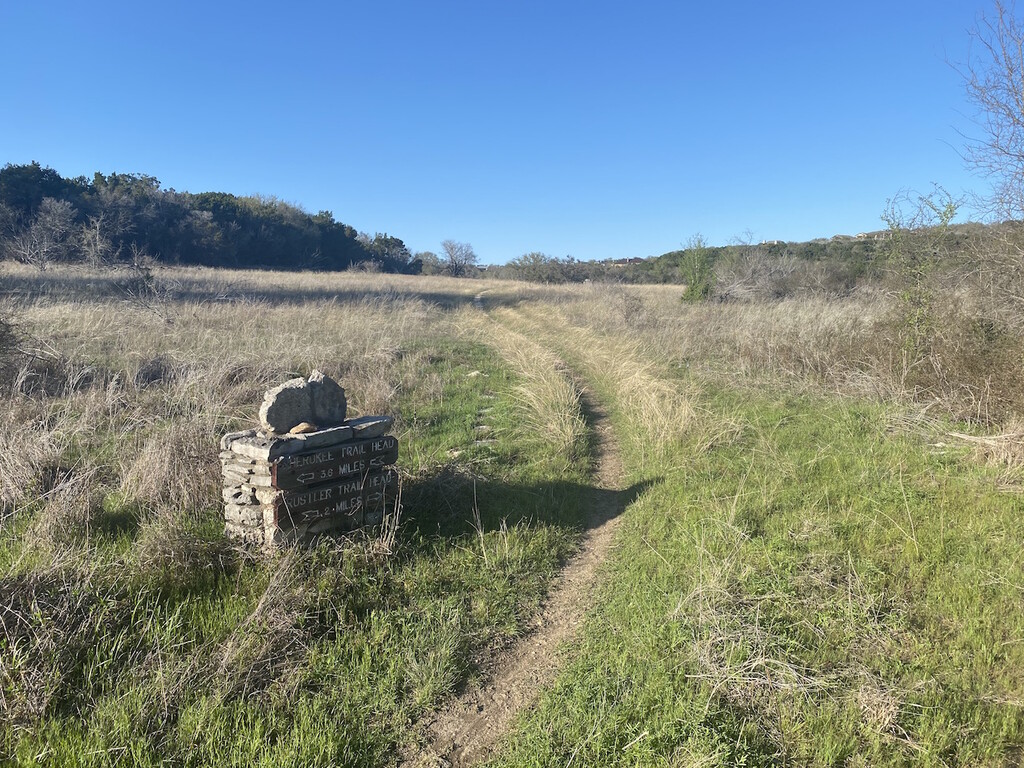
The first 7 miles have a very unique type of rock that's very annoying. Odd projections are hard to see and can easily trip you up. I can usually run seriously rocky trails quite fast but this type slowed me down. I have a lot of technical experience running out west but It's been almost a year and I could tell my lower legs became much more fatigued than they did a year ago when running in the sierras. Miles 8-16 and flat and fast and almost all of it follows a grassy double-track road. There is a stonesign pointing to another TH right before mi15 that you need to turn left at, then turn right shortly after onto a small trail that loops back toward the lake. This seems like a mistake, but mp15 lies on this little loop. Within the next mile, the route turns up a rocky hill near where the road is blocked by debris. keep left up the hill. There are no signs here, but the gpx will guide you.
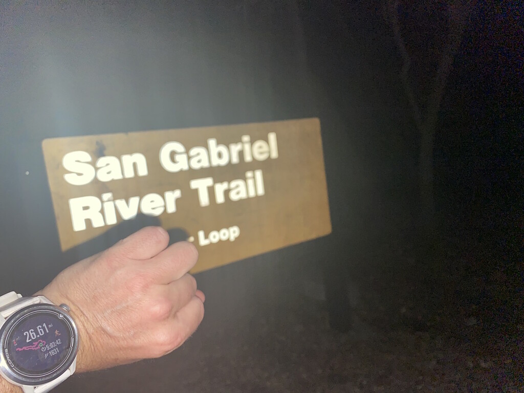
Miles 16-24ish alternate with smooth trail and the same rocky trail as before. Within the last 3 miles you come out to a bike path and then the paved road across the dam. This was a nice easy finish back to the starting point, especially since it was dark when I reached this point.
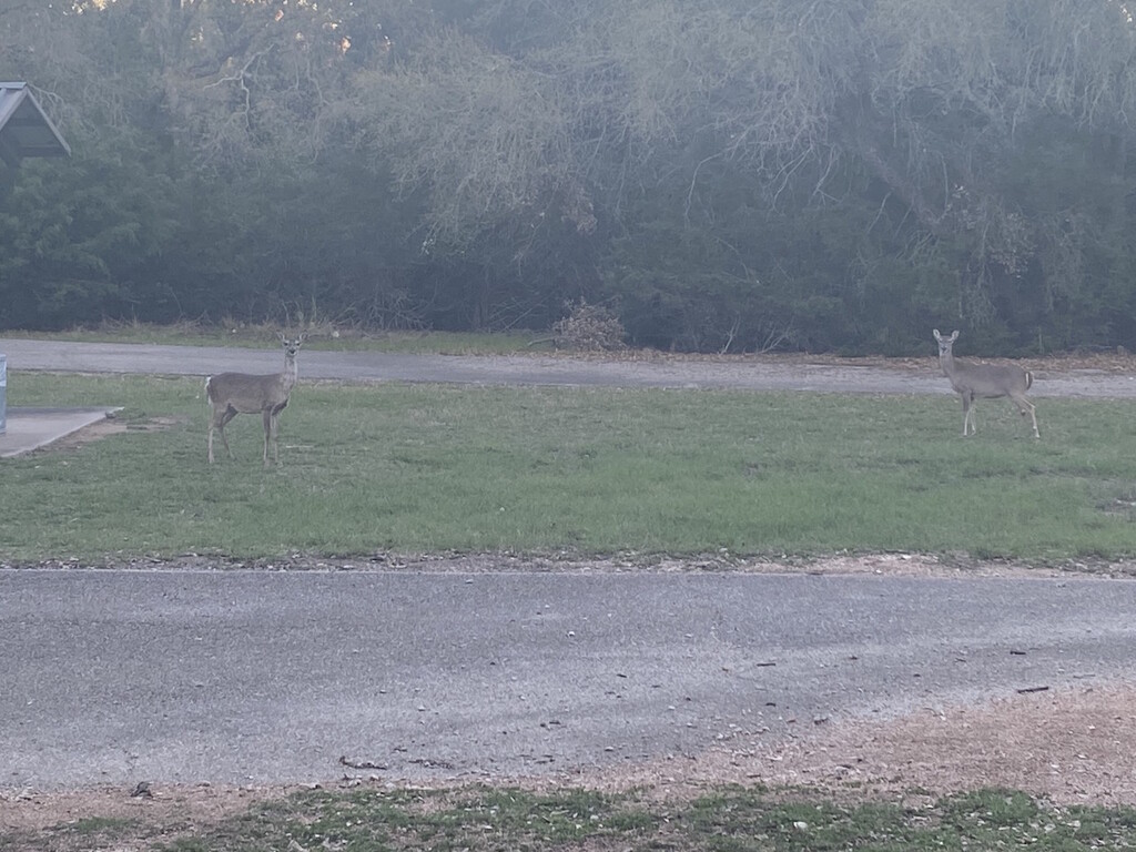
It's a great route and I only saw a few other people. The previous FKTer provided water refill info, but I was carrying enough so I didn't bother looking to verify.