Wet, wet wet!! The area received 3+ inches of rain about 3 days before I completed this run. The trail follows lowlands in many areas. I was wading knee deep in multiple areas. Not wading long each time, but shoes stayed waterlogged throughout. In addition there are multiple small creek crossings and a throw caution to the wind crossing toward the end. Trail was easy to follow. Could use more confidence markers, but I was never off trail, but also I have had past exposure to the trail and know the 'tricky' parts where it is easy to get off the trail. It had been approximately 8 years since I had completed the whole trail, however. All intersections were well marked (See helpful hints below). Trees down in multiple locations, but easy to get around, as other people had already made paths.
Character of Trail: The trail varies from single track, to converted forest road (think ATV track), to Forest road, and everything in between. The trail tread varies from running on various sizes of loose rock (think running down a rocky Ozark streambed), dirt track with rocks scattered throughout, old dirt forest road, to gravel road (not much of that).
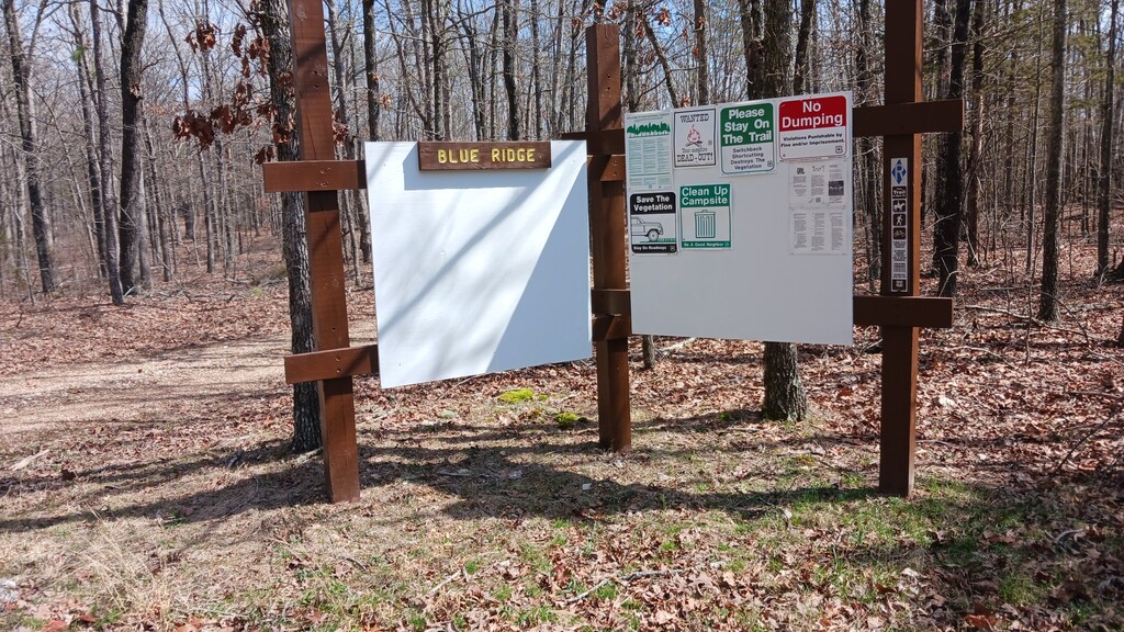
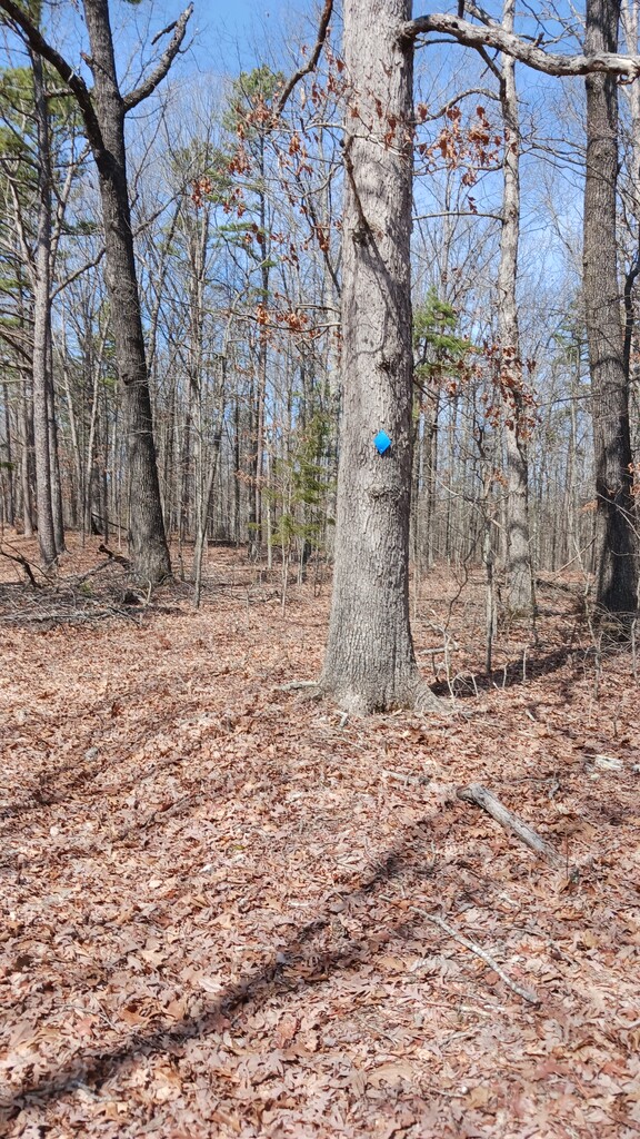
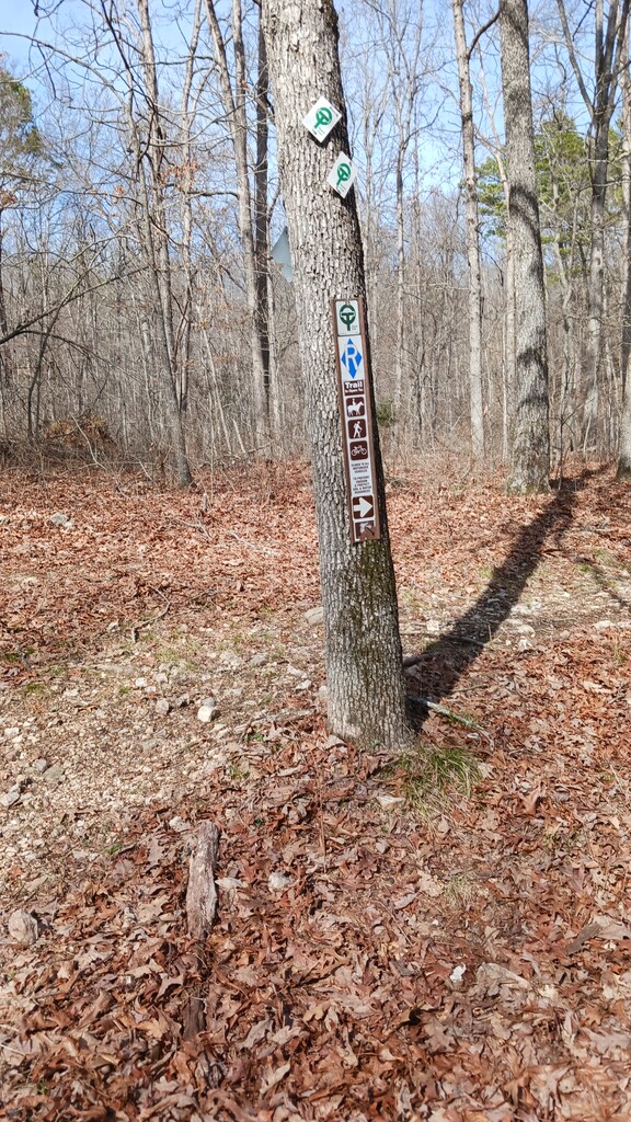
The Eastern Trailhead has a LARGE open area for parking. That is where the big sign is in the pictures. The trail is marked by blue diamond blazes (see pic). At times you may see silver diamond markings on the trail (Blue paint likely flaked off) Western end of trail is when you exit the trail onto FR 4155 (The trail T's with this one-lane FR, and there is no more trail. There will be a tree with trail markings (See picture 3).
Helpful Hints, Tips, things to be cautious about. The Ozark Trail and Blue Ridge Horse Trail share the trail in spots, primarily close to the Trailheads. So be careful to stay on the correct trail. Look for the Diamonds. OT placards are white with green lettering. As you leave the Eastern TH you will be on a Forest Road for about 3/4 of a mile (approximate), before the single track peels off to the R. It is well marked, but if your eyes are focused straight ahead you could miss it. You will then run downhill, and at approximately 2.1 miles ( I am doing this from memory, so results may vary) in the Blue Ridge Horse Trail will exit slight right, Straight ahead and you are on the Ozark Trail. The is a old wooden Ozark Trail sign on your left, almost immediately across from where the Blue Ridge Horse Trail heads up the hill. The wooden sign can take your eyes off the right side of trail where you should exit. At approximately 5.2 miles, the trail will dump you off onto FR 3238. Take a right. There are 1 or 2 blue diamonds on this road. Continue on this road until you T into Forest Road 3173. Turn L on 3173. After a short distance (less than a quarter of a mile?) take the next FR on the right, it will be blazed. Run to the end of this FR, right before the end, the Blue Ridge Horse Trail will exit on the L. Easy to follow. Eventually, you will get to the lowlands and come to a pool of water. (the water is in a natural pool in a valley, it extends for a distance) You will be tempted to look for a way around it, but your best bet is to go slightly to the left (The is a deer stand there now) and wade across. Despite all the rain recently, the water was less than waist deep. I am sure if you crossed in the wrong spot, it might be chest deep. The trail would be easy to lose, if you wander too far off. It is not blazed well on the opposite side of the pool. It is blazed well on the side you just came from, so you can use that to 'line you up'. Keep going straight for a short distance and you T into an abandoned FR, and turn L. The tree with blaze has fallen, so be careful if you are doing a roundtrip, or going the other direction. The turn is at the bottom of a hill, however, so easy to remember. Two more creek crossings and you are home free (sorry I do not have the mileage on these). Trail is easy running/hiking at this point, but still rocky in spots.
This trail is best run in autumn, winter (just remember there may be water crossings), and before the vegetation really gets going in the Spring. You can certainly still do the trail late Spring and Summer, but you will be dealing with vegetation encroaching on the trail in spots, chiggers and ticks.