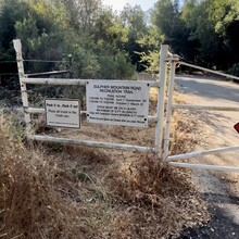
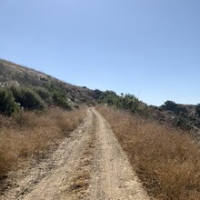
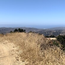
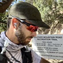
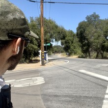
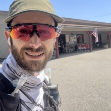
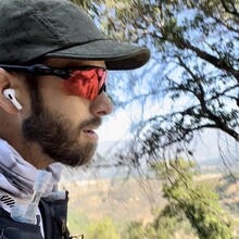
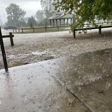
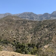
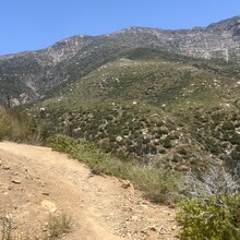
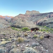
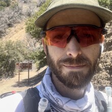
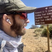
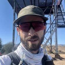
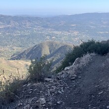
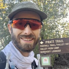
I ran the submitted Ojai Valley Loop FKT route from the Sulphur Mountain trailhead to HWY 150 to the Stagecoach Station general store, where I purchased water, then headed up Sisar Rd. to the Sisar Canyon trail, past the White Ledge Campground to the Red Reef trail, then to Topa Topa, then back across the mountains heading west to Nordhoff Peak, down Pratt Trail to Signal Rd., then took the bike path back down to Sulphur Mountain Rd. and the trailhead entrance where I started. I also filled up on water from a public spigot by the road where Pratt trail crosses Foothill Rd., as well as at the public fountain on the bike path at the intersection near Vons. The hardest stretch was from the Stagecoach Station general store to the spigot near the bottom of Pratt trail - there was no water available in between those points. I ran alone, and had no support other than described.
Athletes
Route
Route variation
Standard route
Multi-sport
No
Gender category
Male
Style
Self-supported
Start date
Finish date
Total time
12h
49m
23s
Verification
GPS track(s)
TrailRun20220704074858_0.gpx11.47 MB
Report

