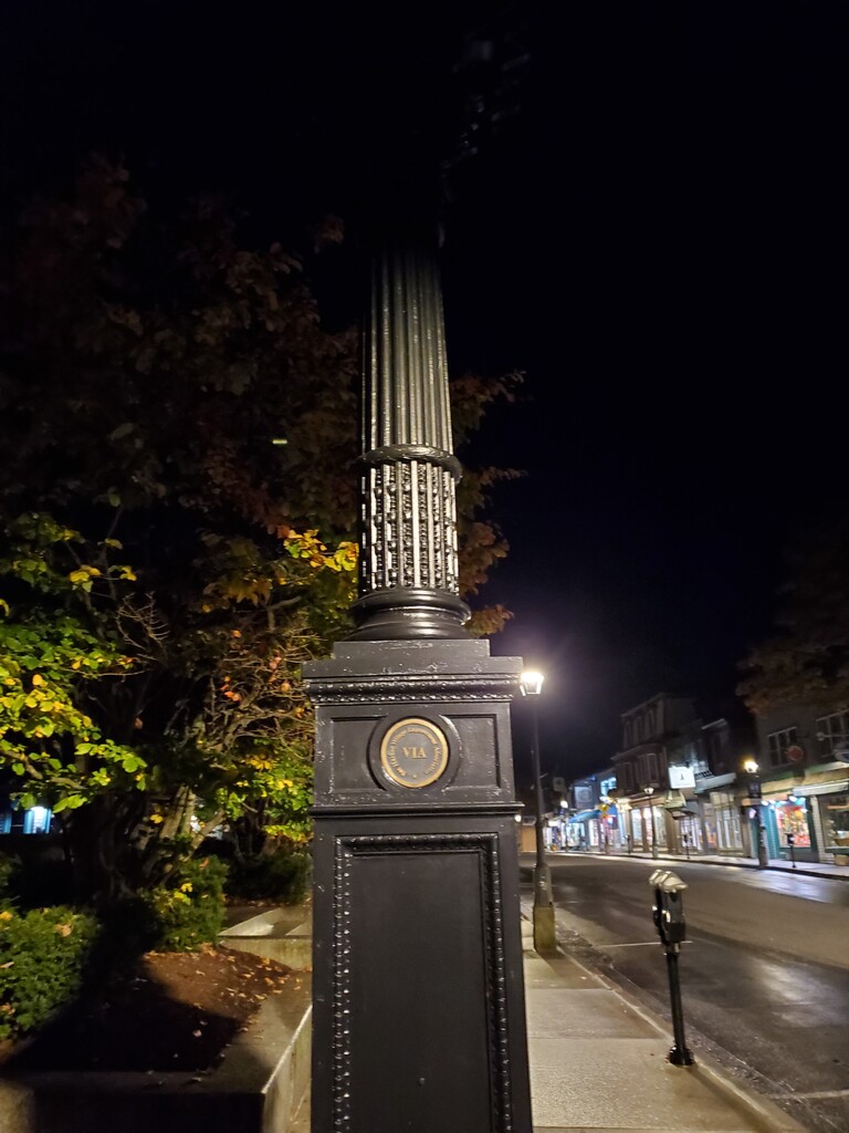

I live 1/3 mi from the Village Green clock, the start of the Acadia Round. On Saturday, October 28, I left my house at 5:50 am with a plan to start at 6 am exactly. It was dark but eerily warm and humid for a late October morning in Maine. I opted for a singlet, shorts, a buff on each wrist and knowing that the temps were going to climb, a lot of anti-chafing balm. My pack was full of trail snacks for the next 8-9 hrs…whybars, joje bars, clif blocks, and skratch chews...the usuals, along with a filter on my handheld, my first aid kit and my phone for emergencies. I travel light.
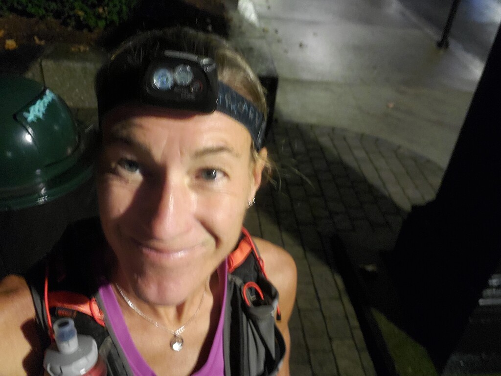
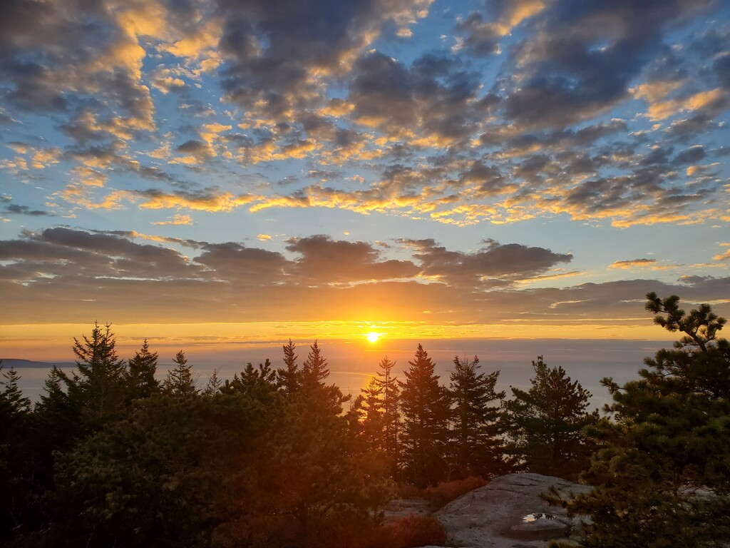
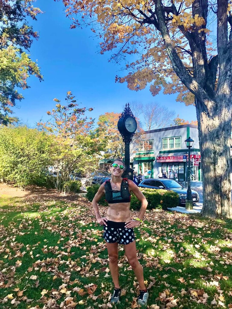
Arriving at the clock, I had a few minutes to text my friend and snap a photo, then I was off.
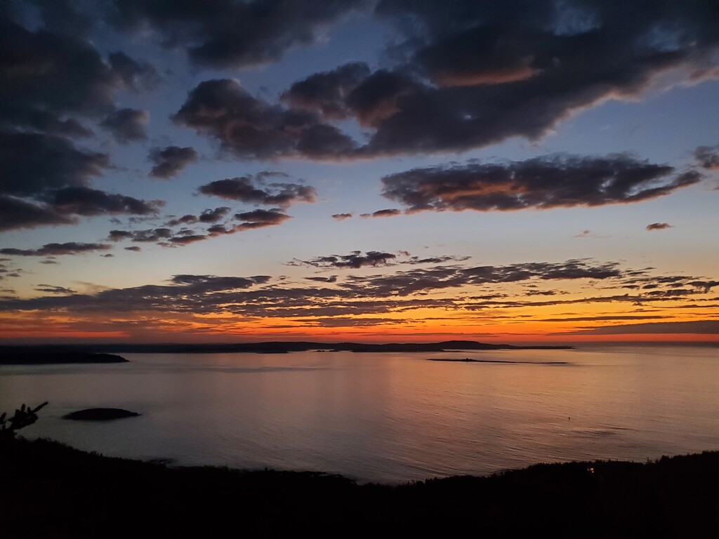
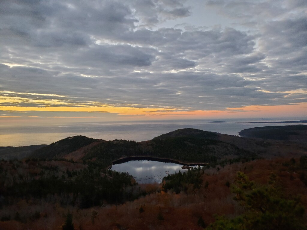
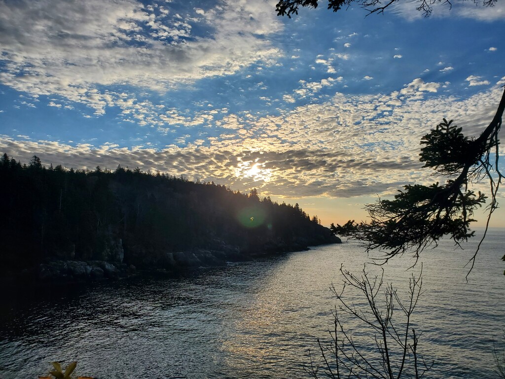
The first 3 miles are flat and runnable as the route leaves downtown Bar Harbor and jumps onto the well-manicured Schooner Head Path. I knew most of the climbing lay in the last half of the route, so I ran a bit quicker than I really wanted to. I reached the Orange & Black Trailhead and climbed quickly to the first overlook as the sky began to brighten in oranges and reds. Two sunrise hikers were headed up the North Ridge slabs, snapping photos as the climbed. It was finally bright enough to turn off and stow my headlamp. I tagged the Champlain summit and cruised down the South Ridge towards the Bowl. There wasn't even the slightest breeze that morning and the water was like a mirror reflecting the colorful sky. I scooped some water as I passed the stream outlet. As I popped up out of the Bowl headed towards the Beehive, I could see the thin sliver of the red rising sun just breaking the horizon. I tagged Beehive, and headed over towards Gorham Mt. As I crested the summit, I could feel the coolness of the ocean in the air. I tagged Gorham and dropped towards the coast. Popping out of the trail, I ran the required road section to roll thru Fabbri Picnic area and down the Loop Rd to Otter Cove before entering the woods again on the Quarry Trail. This cuts through Blackwoods campground, a route I run all winter, to exited onto Rt 3. Hanging a left, I followed more pavement down Rt 3 (not a single car!) to Cooksey Drive and finally back into the woods on the extremely rooty trail to Hunters Beach. At the Beach, I hung a right and climbed up the ocean cliffs over ledges exiting back out onto Cooksey Drive. I crossed over quickly and headed up the Lower Day Mt Trail, eventually crossing over Rt 3 and entering Acadia NP again.
As I climbed to the summit of Day, I realized I was 10mi in and had only seen 2 people all morning. It was 8:20 am. I messaged Michael where I was on the route, then bombed down Day Mt, crossed the carriage road bridge and went straight up Triad. From the summit, it was a beautiful, green mossy descent through the pine forest to the Ponds path intersection. I hung a left and headed to Jordan Pond. Here I passed a few couples out walking the loop around the pond and taking photos. I ran up to the pond house and back down the steps towards the Spring Trail. I crossed the "bouncy bridge", scooped water from Jordan Stream, and hung a left on the Asticou trail. Through the woods the trail weaves eventually crossing 2 carriage roads, at the 2nd one I hung a right to reach the Amphitheater Trailhead. This trail I've only used on 3 or 4 times since moving to MDI 11 years ago. It follows the stream up to the saddle between Sargent and Cedar Swamp Mts. It crosses the stream multiple times, is super rocky and rooty and today it was completely covered in red maple leaves. If I had been on a casual hike it would have been wonderful, but trying to run on it was very frustrating. It didn't help that I was now moving away from the ocean and the temperature was rising with the sun. I gave up running and trudged along, still slipping and sliding off wet roots and rocks hidden. under the leaves. Finally, I reached Birch Spring and turned Left to climb up Cedar Swamp Mt and back on open ledge.
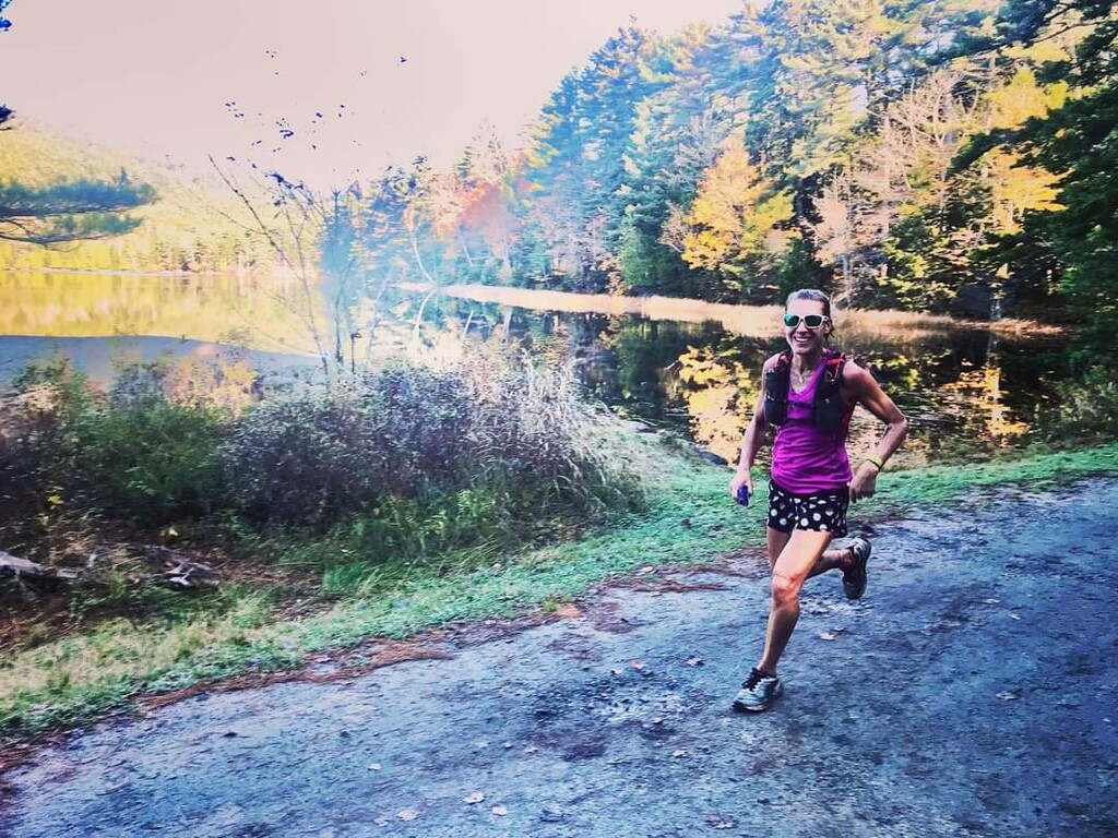
I tagged the summit on the out and back and ran one of my favorite descents in the Park down the south ridge of Cedar Swamp Mt to the carriage road. Hanging a right on the carriage road, a passed 2 hikers heading out for the day and passed through Brown Mt Gatehouse parking lot. I crossed the main road and headed towards Lower Hadlock Pond. Michael had just pulled in, he wished me luck and snapped a photo of me passing the pond. Calling out that he'd see me again at the bottom of the Goat Trail.
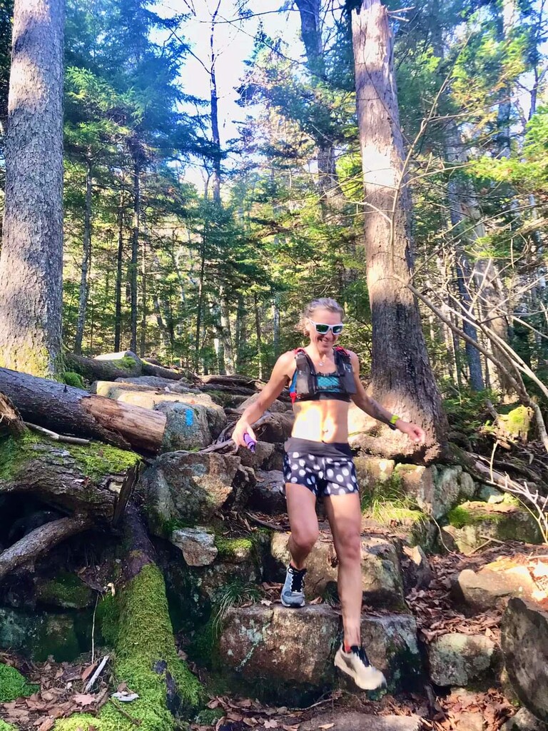
It was great to finally see a familiar face after hours alone, but the heat was really starting to get to me. As i climbed, I stashed my singlet in my pack and hoped I wouldn't get pack chafed. Up Norumbega, I tagged the summit, and smashed my knee on a rock. Then noticed my shin was also bleeding, from who knows what or when. I cautiously descended the extremely steep and partially damp rocks (from humidity) Goat Trail to the main road. Michael snapped another photo, wished me luck again and told me he would try and catch me while he was hiking Dorr and Cadillac.
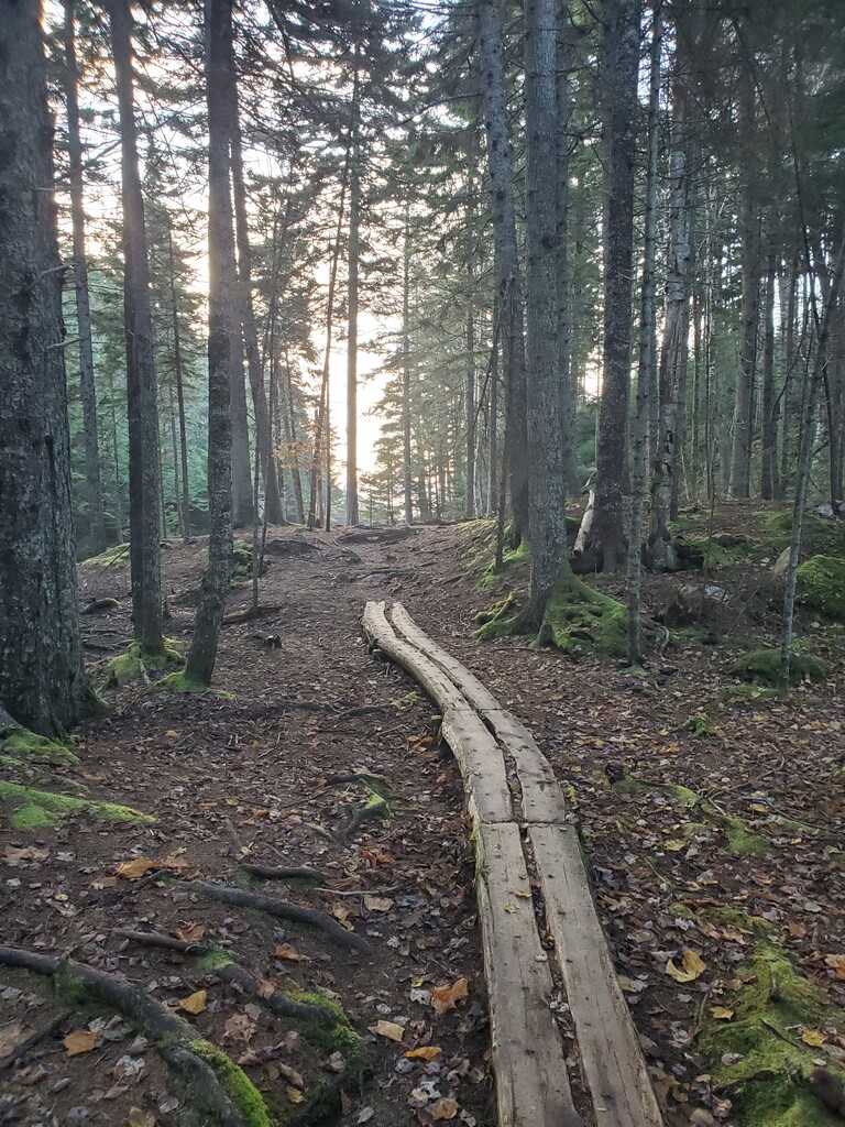
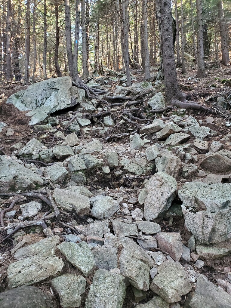
I continued on…now on the very familiar Acadia Cross Island route. I scooped water from the stream that runs along the bottom of the Bald Mt Tr. and summited, passing one hiker on the way. From here, hiker encounters became more frequent. I dropped off Bald and passed 3 more, I passed another lady climbing Parkman then another 2 sitting at the next intersection. I summited Parkman and dropped down to the stream, scooping water and heading up Gilmore Mt. I was going through water and food much faster now. I descended Gilmore and hung a left to follow Grandgent Tr. I scooped water before I left the stream and started the loose rock and roots climb…snapping a photo of the trail. At the treeline, I paused at the location where a year and a month earlier I had fallen and smashed my arm into a broken and dislocated mess. I then continued on to the summit of Sargent, messaging Michael my location, it was 11:19 am.
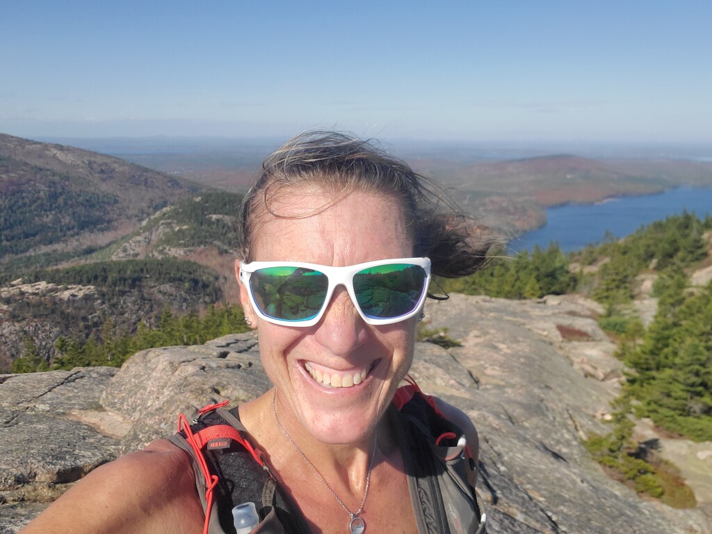
The best descent lay ahead. I cruised the south ridge all the way to Sargent pond, scooped water and headed up the short climb to Penobscot. Then down Jordan cliffs (carefully) to the lower section of Deer Brook and back down to Jordan Pond, scooping water again from the stream. I'm not sure why the Bubbles Divide trail is so hard. It's not very high, or steep. It has stairs and is shaded. But every time I climb it I curse. I got to the saddle between the 2 bubbles and was filled with joy knowing I didn't have to summit either of them on this route. Straight through the bubbles, through the crowded parking lot and up Pemetic Mt. A couple at the summit, asked what my hurry was. " just running home" I called back as I turned and headed back down Pemetic on the NE Trail. I shot a quick message to Michael that I was heading down at 12:26 pm. I passed picnicking hikers at Bubbles Pond, scooped water from the pond outlet and headed up the very steep West Face of Cadillac Mt. After the set of ladders I quickly encountered very unprepared hikers in Vanns. One had just slipped on the super slick and wet granite. I convinced then to turn around and I continued climbing. The temperatures had reached over 70 deg, but luckily a breeze had picked up out of the south and it refreshed me as I reached the South Ridge trail and continued to the summit of Cadillac, the highest point on the route. No Michael in site, but I countinued on. I dropped quickly down the East Face of Cadillac and straight back up the west side of Dorr Mt, tagging the summit with a quick out and back. I sent Michael another update where I was at 1:29 pm. I dropped down the rocky North Ridge trail and scooped my last bit of water at the stream at the base. Then it was a quick rolling trail to the summit of Kebo Mt. I received a message from my friend Lori and updated her on my location at 1:42 pm. Then began the final descent to the Kebo Brook Trail after crossing the Loop Rd one last time.
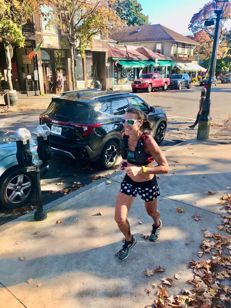
The last 2mi were very runnable as I approached downtown Bar Harbor. Eventually, I exited the trails for good, and it was road and sidewalk running as I approached the Village Green, where I started just over 8 hrs earlier. I cruised through the last corner and finished back at the clock: 8:09:41. Michael met me at the finish.
Overall, I felt pretty good with this effort. I would have preferred a much cooler and less humid day, but at least I didn't have to worry about ice. Fueling was spot on. I carried 1 snack for each hour plus 2 extras just in case. I know this area well, so hydrating with a filter was no problem. The tourist crowds had thinned by this late October date, so traffic on the trails wasn't hard. I plan on another effort next year with the goal to go under 8 hours. I'm pretty upset that my watch dropped me for some miles in the middle. I have a Garmin Fenix 5 and have been having issues lately. I contacted Garmin immediately afterwards and they walked me through a hard reset. Hopefully, this fixes the issue and I do not have the same problems in the future.
Editor: The tracking was not completely lost at the missing section. The elevation curve shows that tracking was on, and compared to previous efforts it was possible to approve the effort.