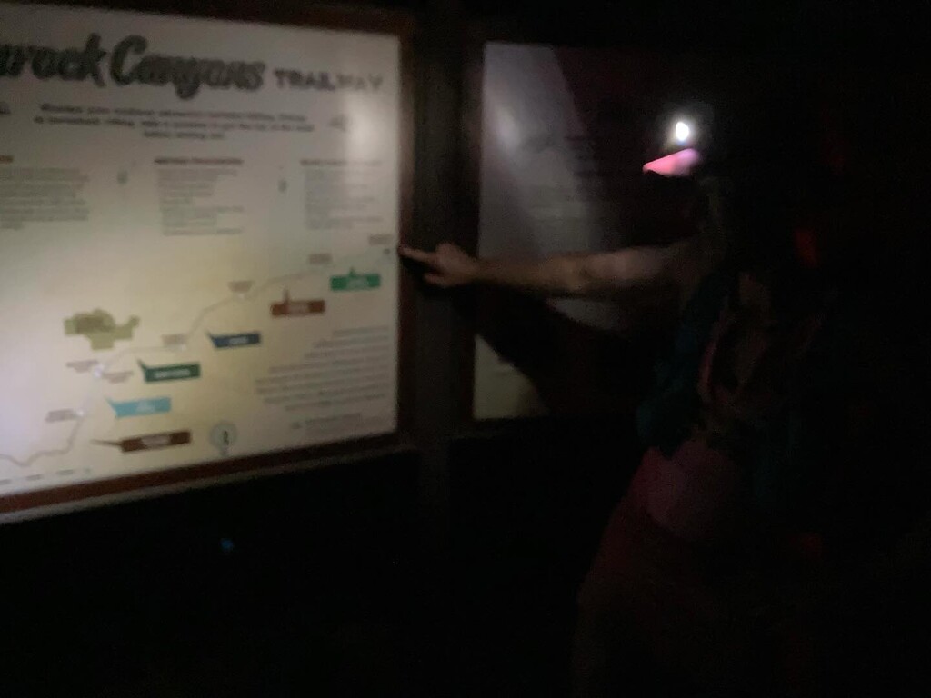
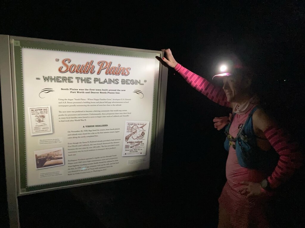

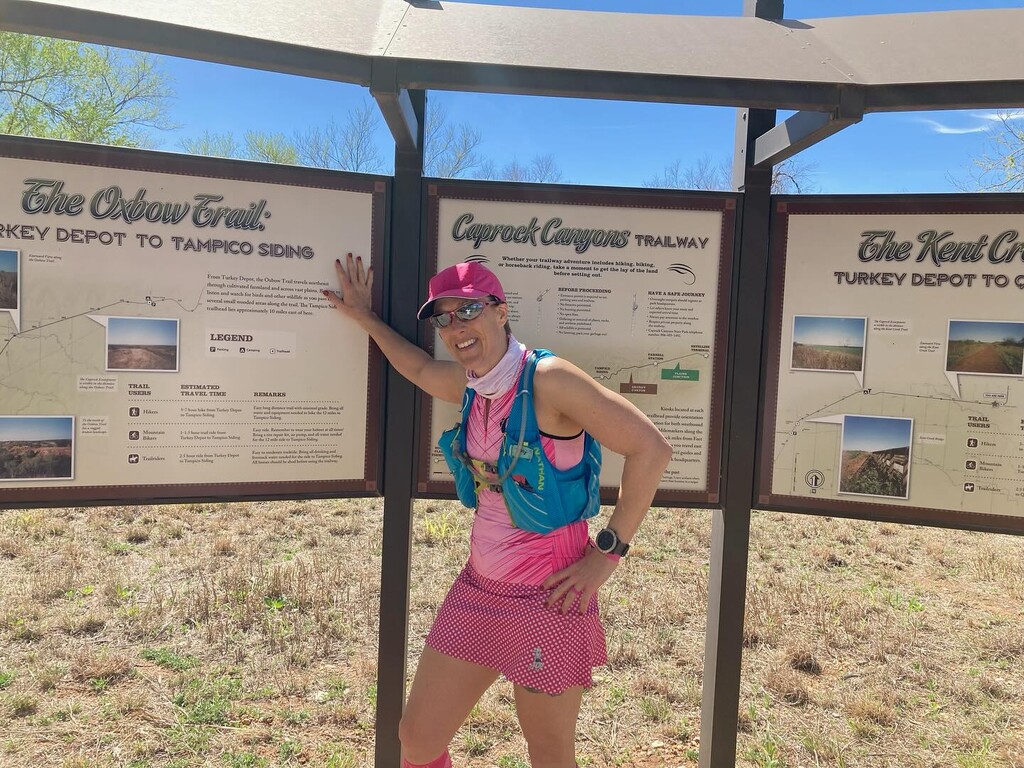
I started at South Plains at 6:25 AM, about an hour before sunrise. The temperature was 44 deg with a windchill of 39. My husband, Ron, was my crew. For the most part, except for the places I note differences, the trail is crushed gravel with some sand and bigger rocks that impact running efficiency, but I stayed on my feet. The main landmarks are given below with the time I reached them, the mileage according to my watch, the temperature, and any notes I took. I’ve also attempted to upload pictures in the order they were taken. The pics of me are from crew stops, all of which seemed to have signage. The pics without me in them were me showing there is no signage for the other landmarks.
Start to John Farris: The trail dips into the canyon around mile 3, and I saw 2 skunks between miles 4 and 6.
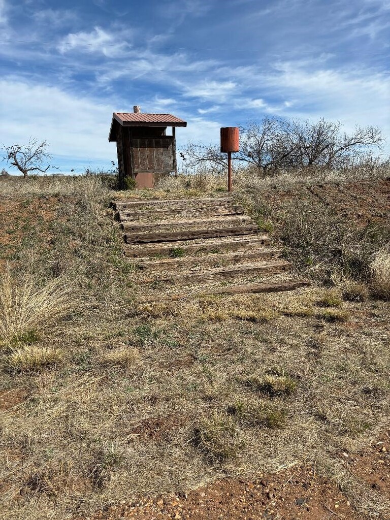
John Farris: 0733, mile 6.8. This is literally just a water container and outhouse. I didn’t check to see if water was available. Between John Farris and the tunnel, there were cows crossing the trail.
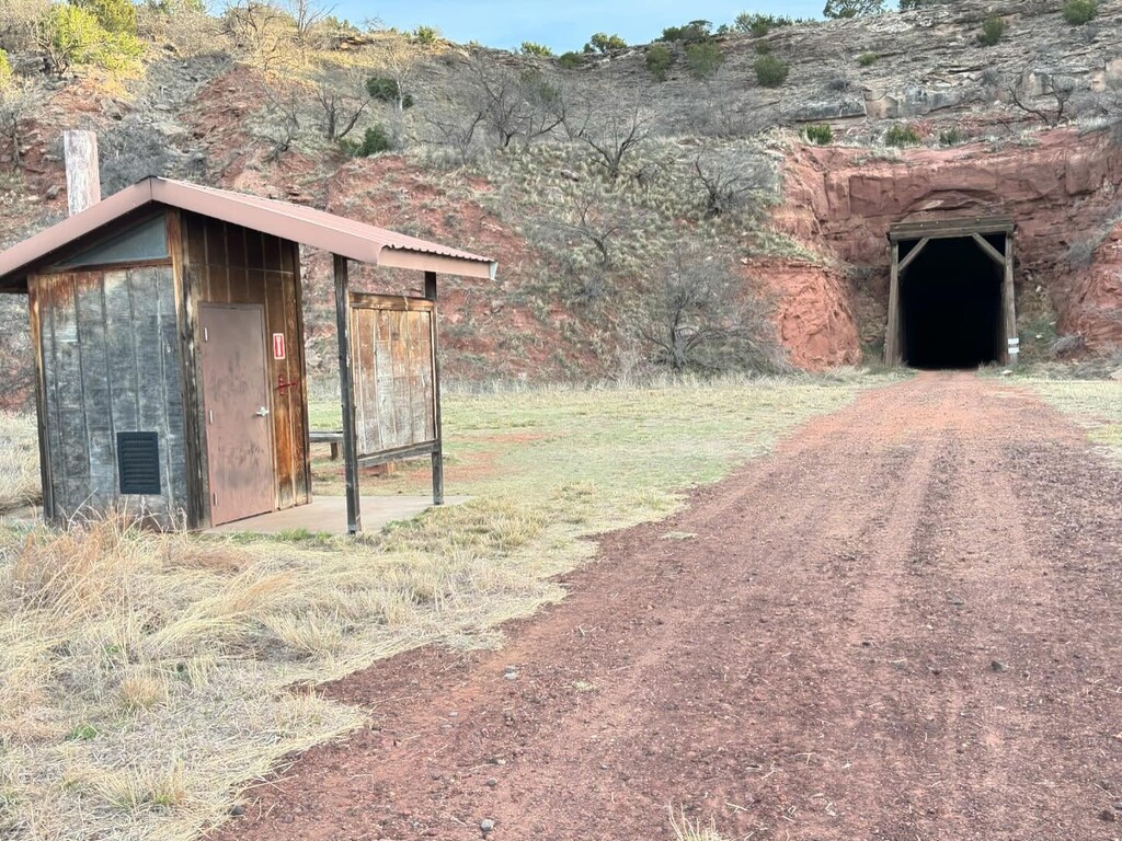
Clarity Tunnel: 0838, mile 12.75. I walked through. The dust is a good few inches deep. Between the tunnel and Monk’s Crossing is the nicest, smoothest crushed gravel of the entire trail. I think a lot of folks park at Monk’s and ride bikes to the tunnel.
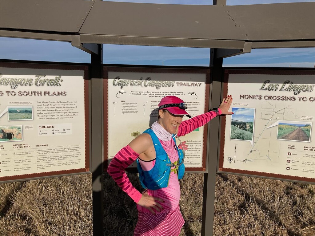
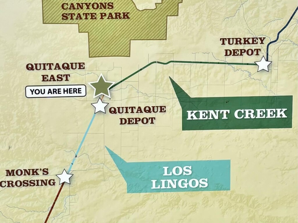
Monk’s Crossing: 0927, mile 17.4, temp 53 deg. There was a slight incline starting around mile 15 and going all the way to Monk’s. Very gradual. Starting a bit before Monk’s the trail gets very exposed and pretty much stays that way for about the last 50 miles. We put sunscreen on me 3 times between Monk’s and Parnell. Also, starting with Monk’s, road crossings were prevalent. Mostly just farm roads, but caution is recommended.
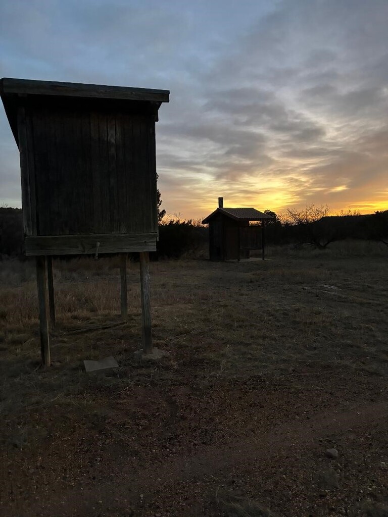
Los Lingos: 0948, mile 18.6. Just an outhouse. Between Los Lingos and Quitaque Depot is gradual uphill and surrounded by cow farms. I had to go off the trail a tiny bit just before QD because a stubborn cow wouldn’t leave it, and the farmer was worried I’d spook her. That farmer was the only human I saw on the trail all day, except for my husband.
Quitaque East: 1041, mile 22.9. There was a sign here, but no outhouse, which turned out to be bad for me… I didn’t note Quitaque Depot, but it’s right before, and very close to, Quitaque East. I had some GI distress between Quitaque East and Mullin’s Rise, so I was very slow in that part.
Mullin’s Rise: 1130, 26.6: Just an outhouse (that I very much appreciated). After Mullin’s Rise, grass clumps join the rocks on the trail for a little extra challenge, and they show up in places for the rest of the trail. There were mile-long gradual inclines that started around mile 28 and around mile 30.5.
Turkey Depot: 1301, mile 32.7, temp 69 deg. In between Turkey and Tampico, I started having collarbone cramps, so I slowed quite a bit, mostly walking. The trail continued to have gentle ups and downs, very low grade, all the way to Parnell.
Tampico Siding: 1537, mile 42.7, temp 74 deg. I think the max temperature I experienced was about 77 deg, and with the exposure of the trail, the sun was beating down quite a bit. My collarbone cramps were there to stay. The scenery between Tampico and Parnell was much prettier, with some lower canyon terrain around the trail. It was nice to see after all the cattle farms since Los Lingos (about 24 miles).
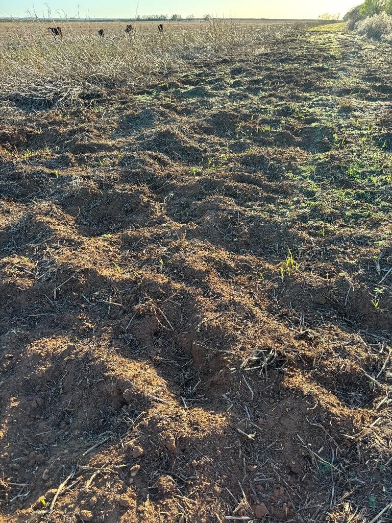
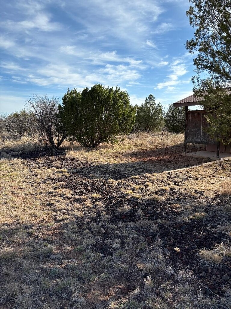
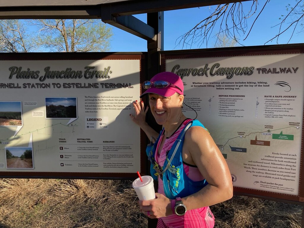
Parnell Station: 1840, mile 54.5, temp 73 deg. Things got weird after Parnell. I think the powers that be (and the famers) don’t really encourage people to do this last section. It was back to cow farms for scenery, and about half a mile out of Parnell, there was about a half-mile section of trail that was torn up. The photo shows the line between the green straightness of the trail, and the breakup of really uneven dirt. It was pretty slow-going in that section, and then the trail just sort of got back to nice again. There were also 2 places (at road crossings) where the old pedestrian gates were overgrown and torn up, and the trail took you around them. It got dark around mile 60, so I couldn’t see well, but from what I could tell, there are a lot of trees for the last few miles. It was a bit creepy being out there by myself in the dark.
Estelline Terminal: 2111, mile 64.46, temp 63 deg. Went all the way until the trail hit the road before stopping my watch. (The sign was a little early, so I went back for the picture after I was done.) My husband said the terminal was a little hard to find from the road, so he was glad he got to it before the sun was all the way down.
Gear: My Nathan hydration pack was probably the most important piece of gear. My watch was Garmin Enduro. I also really appreciated Trail Toes and my Brooks Caldera 6s. You could probably do this trail without trail shoes, but the Caldera’s cushioning and toe protection were nice around the loose rocks.