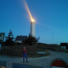
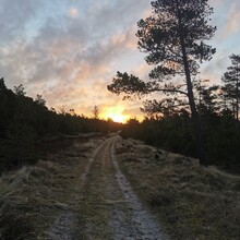
Slight variation of the course on this homepage. The course starts a Blåvandshuk Lighthouse and ends at the harboud in Vejle.
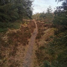
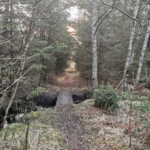
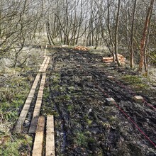
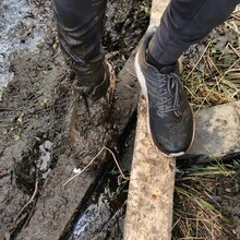
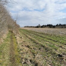
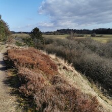
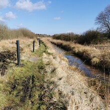
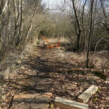
In Varde Ådal the course is very wet and slippery so small wooden walkway are build (and even more under construction) so the are small variations of the course. The officiel gpx file for the course can be downloaded on the webpage
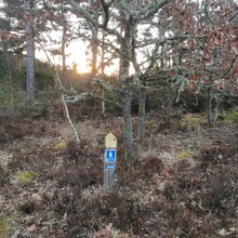
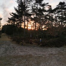
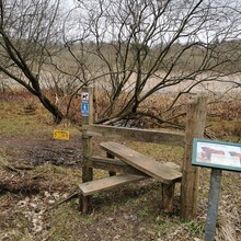
The coure is weel marked with small wooden signs (blue sign with a little white man) and watertaps/toilets are marked as well.
The last part towards Vejle isn't that ell markeded, but follow the signs for Bindeballe stien.
The officiel homepage for the course (and with updated route and gpx for download) is https://www.kyst-kyststien.dk/
I did it unsupported but shopping options are marked on the map as well.

