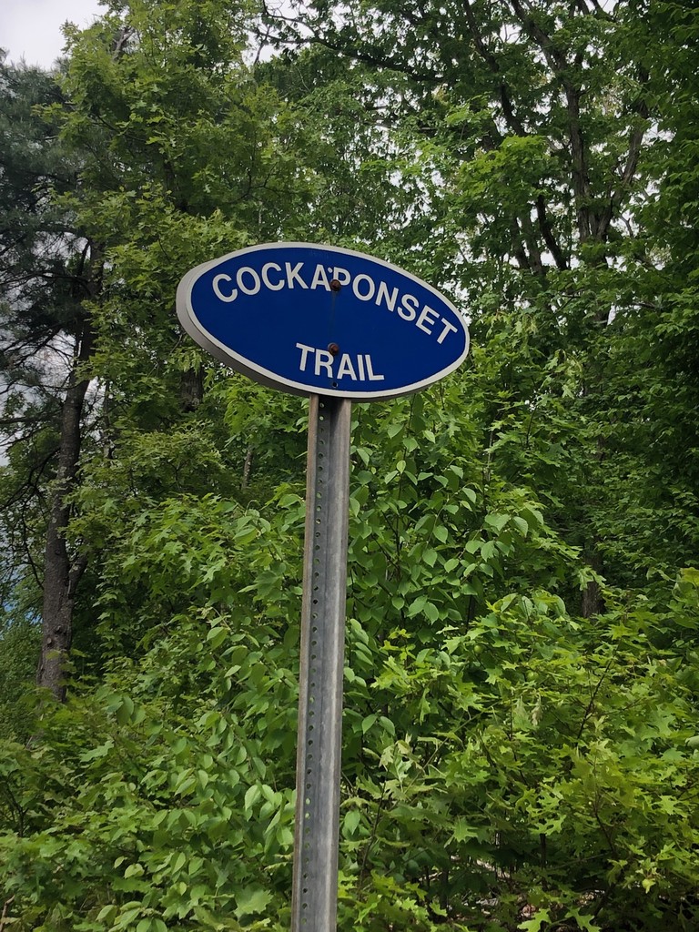
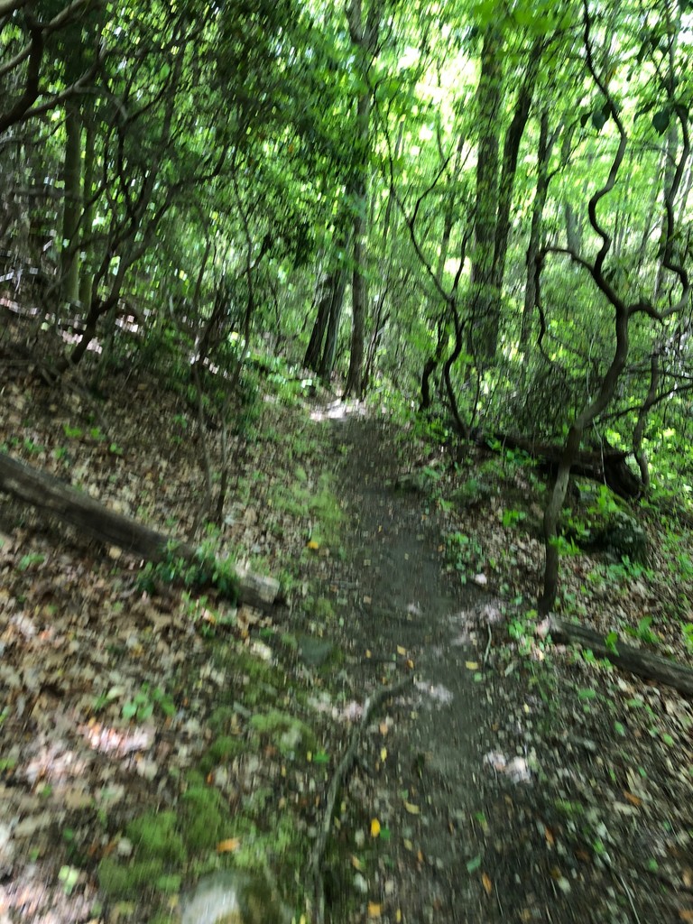
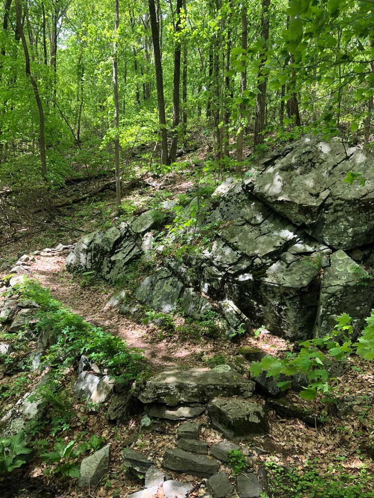
This trail is amazing- one of Connecticut's best maintained and most runnable trails with only slightly less than 2k of vert in 14-ish miles. There are some rocky, rooty techy sections, quick punchy climbs, a lot of beautiful dirt singletrack- once you get east of the traprock ridges the climbs aren't as high but you can still accumulate a decent amount of vertical gain. The CCC built this trail in the mid-1930s and you can tell they really took some great care in choosing the route- it's pretty much everything Southern CT is known for; laurel groves, rocky outcroppings, some nice soft pine needle forest floor, a few quick country road sections and that ubiquitous swampiness as you approach the shore.
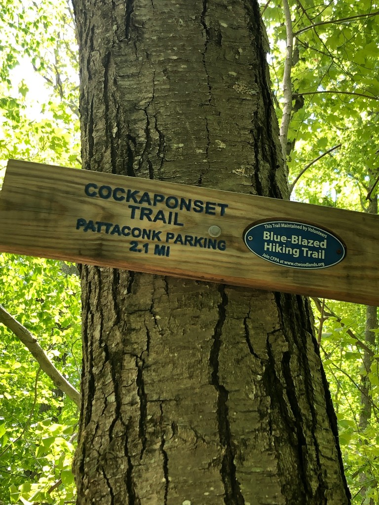
Today I got a late start, wanted to be on trail by 9 am to "beat the heat" but didn't start until 10:15. I had loosely targeted a 2h 30m finish time for what I thought was 15 miles- the CFPA Blue Blaze Interactive map has it at 7.5, the list on that website has it at 7.4, I got 7.15 at the turnaround. I started at the southern terminus on Route 148 in Chester, with a foot on the road just to make sure I did the whole trail. Once I settled into the first mile I knew it was going to be tougher than I thought, as these things always are- it's a combination of me simultaneously overestimating my abilities and underestimating the trail. Having never set foot on this trail I made sure to really watch the markings- this didn't stop me from making 3 or 4 missed turns anyway. They maybe cost me a total of 2 minutes, and coupled with bathroom stops I only lost about 5 mins total for the entire trip.
I hit the northern terminus at 1:14:25, touching the tree marked with the horizontal blue blazes signifying this is where the trail ends. I turned myself around and set myself on the task to run an even split- that would ensure me going somewhere around 2:28-high. About 2 or 3 miles in I realized the climbing mercury was starting to get to me (wanna say it was low-70s) and I tried my hardest to stay on top of hydration. I had to power hike a few of the climbs, costing me about a minute. I hit the asphalt on Route 148 in 2:30:01, for a 1:15:38 split on the southbound direction.
I think a really fast person with legs and lungs could do this down around 2 hours, maybe even faster. I say have at it!