My third attempt at the route, not massive hills but a large amount of total ascent (3664m from the route gpx, 4241m recorded by watch). Mostly off road and some quiet country lane sections. The path ranges from perfect, well maintained to unmarked in fields / woods. Lots of mud at this time of year, more sticky/clay but some very wet bits - luckily it didn't rain and temperatures were about 5-10C
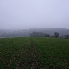
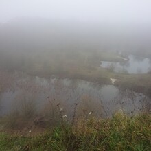
The 14 hours of darkness over night was tough, very misty as well so the head torch only gave visibility of the immediate ground. I tried both directions, the successful one was clockwise - I think better as that way has more of the hills and worse terrain in the first half. For supplies, I started with 3l water, 1l energy drink, mini cheeses, protein/cereal bars, and cheddar biscuits. I'd considered using shops in Stokenchurch to refill but went on to St Mary's church where I'd used a tap previously. But this time it wasn't working! Luckily the first house I knocked on were very friendly and let me use their outside tap. I then refilled in the morning at Barton-le-Clay shops with lucozade, water and a sandwich.


