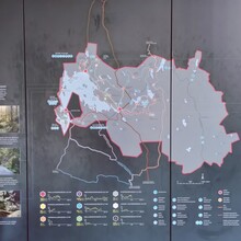
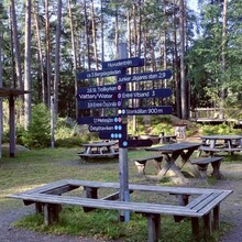
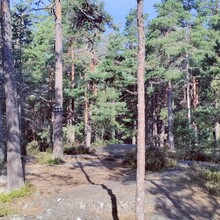
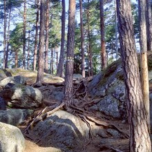
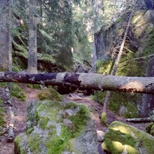
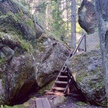
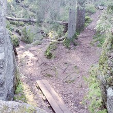
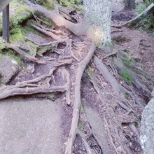
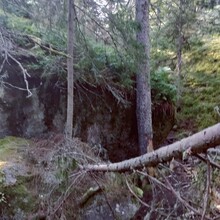
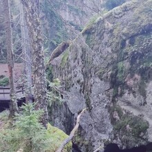
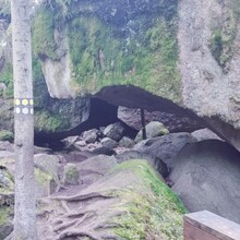
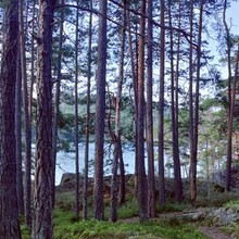
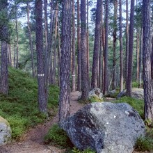
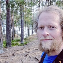
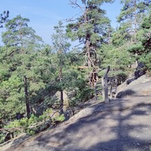
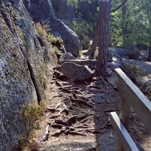
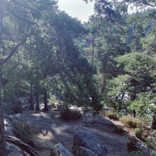
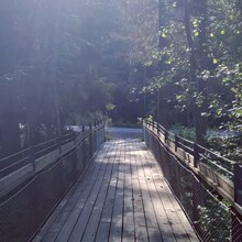
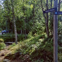
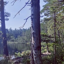
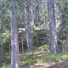
I started out from home at 0508 and arrived around 0830. I took the opportunity to walk the yellow route which was 2.2km to see how the signage worked and what the terrain was like. I wanted to see if it was worth taking my hiking poles. The advantage of walking the yellow trail was that this overlapped with the grey and purple trails so I managed to see a large part of the trails without walking too far. Although the signage was pretty good I managed to get lost while doing this trial walk so thought this would be my main issue during the day.
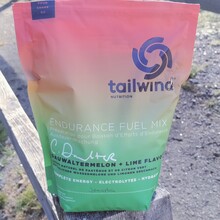
It was a warm day. I ate a large portion of porridge and a banana before leaving the house and drank a Starbucks triple shot espresso when I got to the main car park. I started off with 2 litres of Tailwind in a bladder in my vest. I started out by running at my expected pace for the whole journey clockwise round the purple route and as I ran round the route I then went round the routes that were coming off the purple route in order; green, orange, black, white, grey.
The green route was fairly easy to follow (my phone was playing up and I didn’t have any maps with me so decided to keep running and follow the green marked trees. When I got to the orange route I ran a little past the sign but then went back and ran round the route. When it started climbing up I got a little lost. Black and white routes went well and easy to navigate.
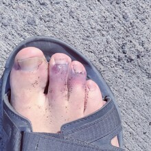
When coming back to the purple route I tracked onto the grey route and found this pretty hard when it merged with the blue route as there was a lot of steep climbs. I think this is the first time I was struggling with running and it was getting hot. I seemed to be running for a long time and realised that some of the trees looked the same from before and thought I may be running around in circles. I had missed the sign to take me back to the purple route and managed to go onto the white route again and overshot the turn by over 1km. When I realised my mistake I ran back quite demoralised as I thought I’d be between 2 and 3 km over the total distance. As my pace had been pretty good up to this point I was still in a chance of getting the record and I also wanted to finish the route whether I got the record or not so I pushed on. Whilst getting lost I managed to kick a tree stump and felt like I had perhaps broken at least one toe (see post run photo).
Due to being demoralised as well as feeling the pain when putting pressure on my foot I had to lower my pace.
I then finished the purple trail and did the yellow one. I filled up my bladder from the water pump (even though it said it wasn’t drinking water) and by this time I had two loops left. I started on the red route and found that there were quite a few sections of steep climbs. My toes were hurting and so I ended up walking a large part of the route. I ran some sections but I think the gait changing with my toes put more pressure on my left calf which at one point felt like I might be close to pulling a muscle so I ended up running on level or some downward sections but taking it easy especially when going uphill.
With hindsight I think it would have been easier following a gpx file from a previous runner (don’t follow mine!). The national park is a beautiful place to be and I feel privileged to be able to have spent the day running round the various tracks. I aim to be back in April to do the challenge again to see how well I have progressed my training over the winter – this time without getting lost.
My thought from the day is to never give up. After getting lost and hurting my toes, which i think are broken, I could quite easily have given up, but I managed to pull myself through.

