I've been running in Rock Creek Park for over 15 years, and when I saw that a route had been set, of course I wanted to make an attempt at the fastest time. Decided that January 1, 2025 would be a fitting day to go for it and kick the new year off with a challenge.
The day of the attempt was sunny and in the low 40's and windy. It had rained the past few days, but I know these trails drain fairly well.
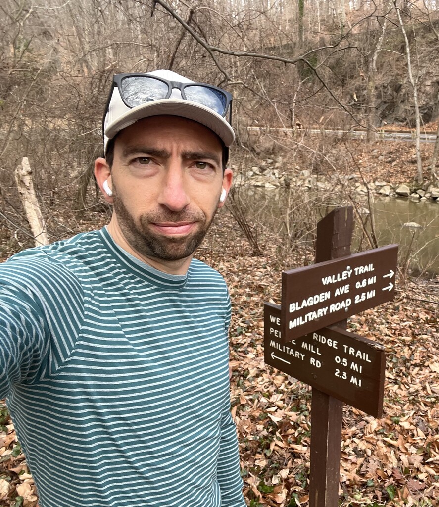
The run itself starts out with a pretty intense uphill stretch on twisty, rooty trails, first adjacent to the Western Ridge, then up the trail formerly known as Melvin Hazen. Uphill continues crossing Connecticut, then through Reservation 630, then up Upton Street across Wisconsin to the northern tip of the Glover Archibold Trail (the high point of the route). I averaged about 8:25 through these first two miles and was near or at max effort for that stretch. I used the net downhill of the GA Trail to recover over the next two miles, but was limited by the affects of charging uphill at the start. The transition to Whitehaven Trail brings some small but intense ups and downs, so I did what I could to maintain a low-8's pace in that section. After crossing Wisconsin again, the route heads through Dumbarton Oaks and transitions back into Reservation 339. At this point the dirt trail then paved section are fairly flat, and I was able to stay around or below 7-minute pace en route back to Bluff Bridge.
A couple of disclaimers and notes:
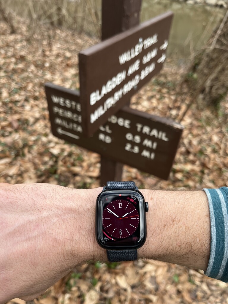
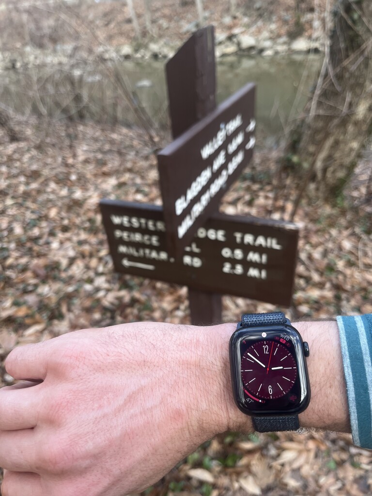
I use an Apple Watch for my runs, and the GPS leaves a bit to be desired. I'm chronically short on measured routes and races. Hence why my activity shows just shy of 8 miles. Not only is shaving the course something I would never do, it's darn near impossible given the conditions of the wooded areas.
I'm running in Topo MTN Racer 3s at the moment, which I find to be a decent trail-to-road shoe. I brought 14 ounces of water and a gel in a Raide Research LF2L belt, but didn't touch any of it during the run.
Third, while I appreciate this route being set, I have three big issues with it:
1. The initial part of the route and a stretch in Whitehaven Park rely on unmarked social trails. Not only does this violate LNT and fragment the forest, it was confusing as heck for me to navigate prior to and during the run. Why not just use marked trails that are literally adjacent to the ones that were included in the established route?
2. There are something like seven road crossings, including a few multi-lane road crossings that aren't at stop lights or crosswalks. It puts runners in a position of needing to take risks to limit lost time, or alternatively, costing minutes to wait for safe crossing given the time of day. I think I lost about a minute total to these crossings. Navigating the crossings can become a factor out of control of the runner that still has an impact on their overall effort.
3. The route itself seems a tad arbitrary. Again, I appreciate a route being set, but to call it the "Washington-Rock Creek Park Loop" and NOT use the classic Reservation 339 Valley Trail to Western Ridge Trail loop as the route (roughly 9-ish miles) feels like a miss. As such, I'll be working to establish that route as an FKT (and perhaps some others that run the length of complete, marked trails) in the future.