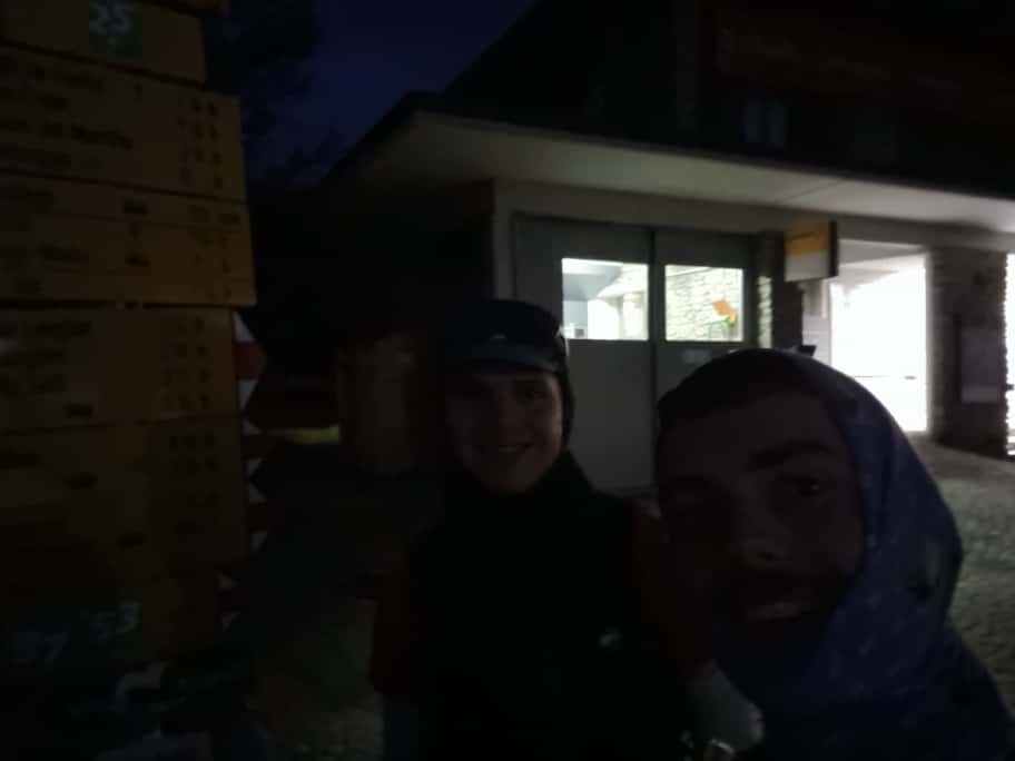


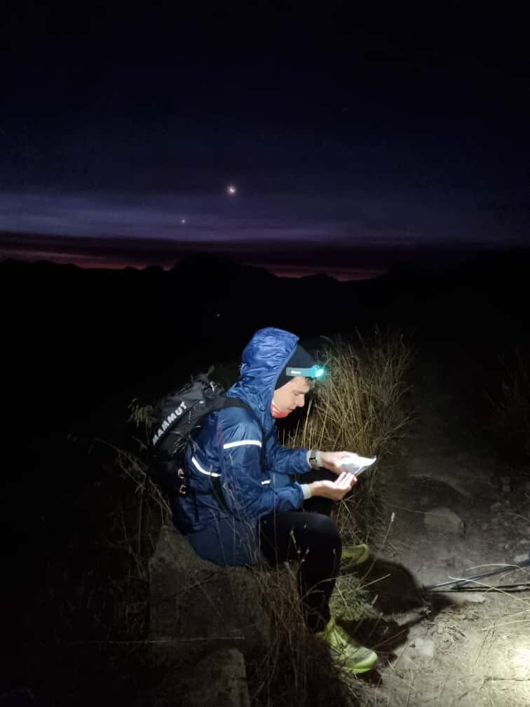


We undertook this trip on the "Via Engiadina/route 87" in a team of two in a self-supported way. Starting in Maloja on Saturday morning at 06:55AM and ending in Vinadi on Sunday at 12:51PM.
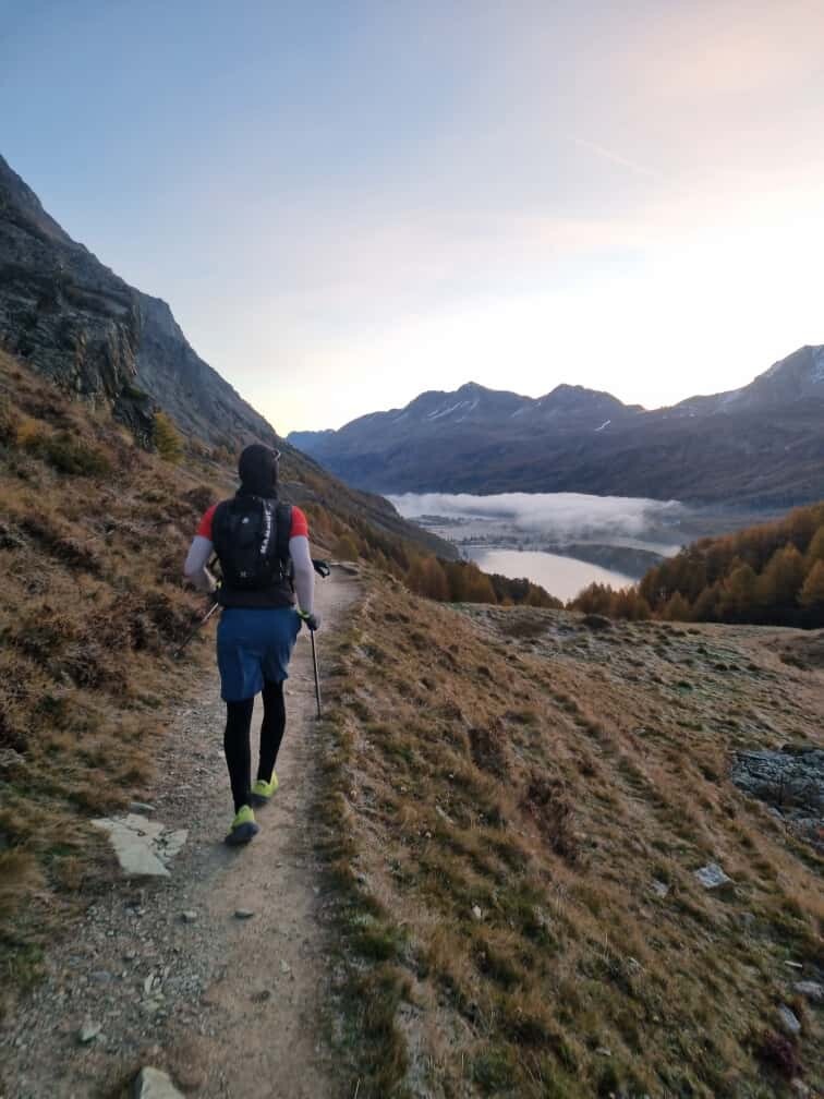
Taking the first bus in the morning thus starting early gave us enough time to reach the end on Sunday afternoon before the public buses will stop running there in the evening. We were able to take advantage of a good weather window for that whole weekend. Sunny and cool during the day with little wind. Though the cold temperature, frozen trails and already relatively short days mid October were facts that made it tougher for us.
We were not supported at the start/end of the trip and neither in between and were able to stay together for the whole duration.
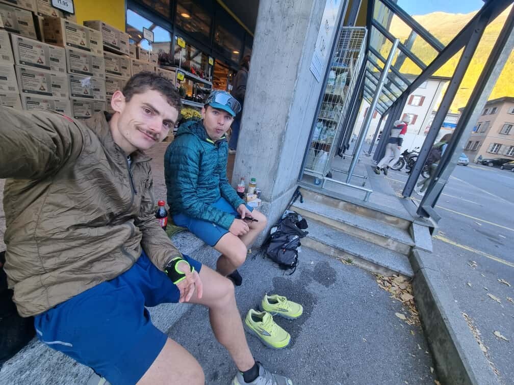
Bringing warm cloths, enough food, running poles, running vests and still keeping our carried weight as light as possible were all key for the success of this attempt. We were only able to resupply once at a store which was in Zernez(KM70) at the Coop as well as eating once at a restaurant(Hotel Linard) in Lavin(KM81). That was mostly because of bad timing and shortened opening times of stores on the weekends. Additionally we cached a backpack with food and clothes at KM38 outside of Samedan the night before. Those were the three biggest/longest rest stops for us on the trip. In many ways they were the only actual big breaks we had. The difference between moving time and elapsed time ended up being pretty much exactly 2 hours (of overall break time).
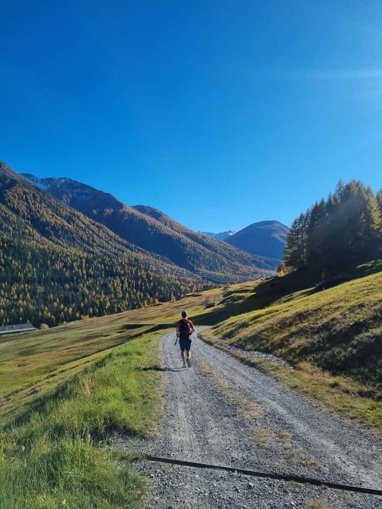
Access to water was easy even in mid October after some dry weeks using public fountains, rest rooms and creeks.
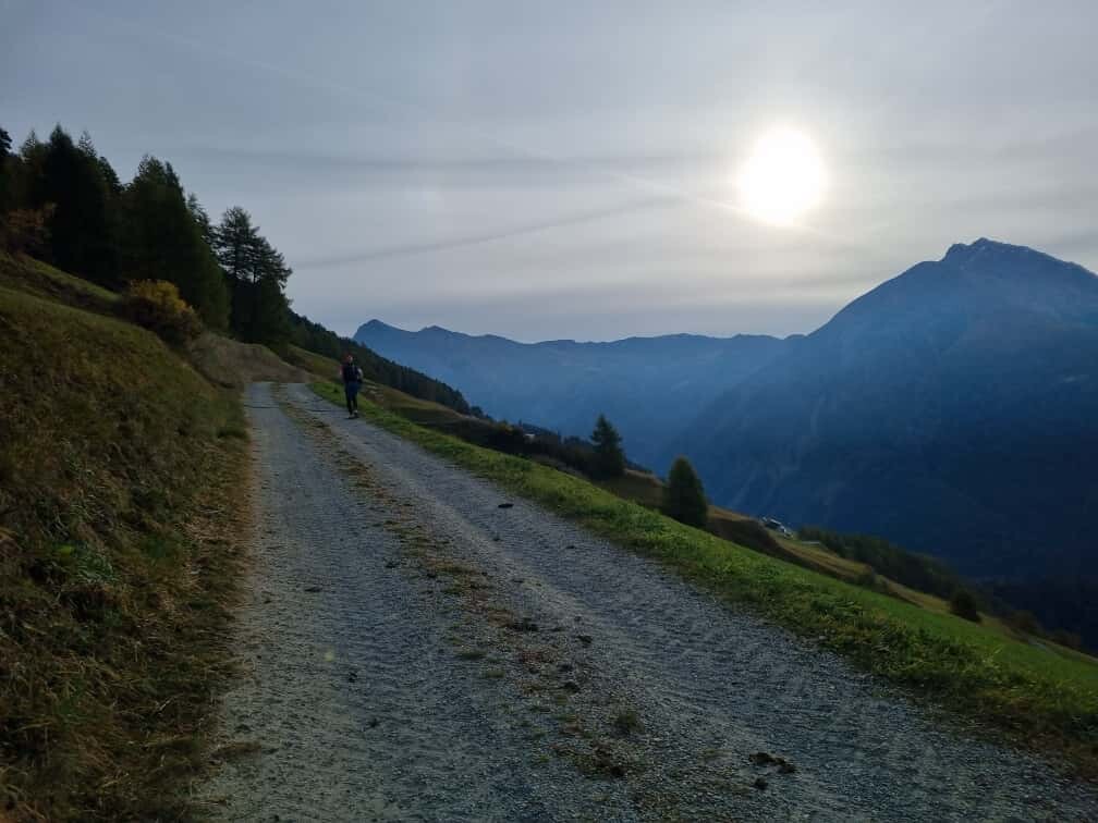
Following the signposts and the official GPX-track we did out and back runs to tag multiple train stations and town squares in: Silvaplana, Zernez, Guarda and Ardez.
There was one officially signposted detour due to rock fall from KM7.2 to KM8.8 where we had to run along the road instead of the trail.
On our Strava activities one can see that I (Joshua) uploaded only one large track and that GPX/watch problems occurred at two points during the trip. From Zernez(KM70) to above/after Guarda(KM105) my there is no GPX on my Garmin/Strava instead a straight line from point to point. The KM-splits, elevation and heart rate data are all got all tracked and saved correctly.
Secondly my watch died without the usual warnings and heads-ups around 1.5 kilometers (!) before the finish line. Luckily i was still able to restart and save the activity then and there. Losing only a very small part.
On Stefan's gpx-tracks you can see that he stopped tracking during one of the bog breaks to charge his watch. Thus creating multiple files.
Thanks to a strong finish on the last big downhill to Vinadi were we able to achieve our goal of setting an initial FKT on this beautiful route in under 30 hours.