
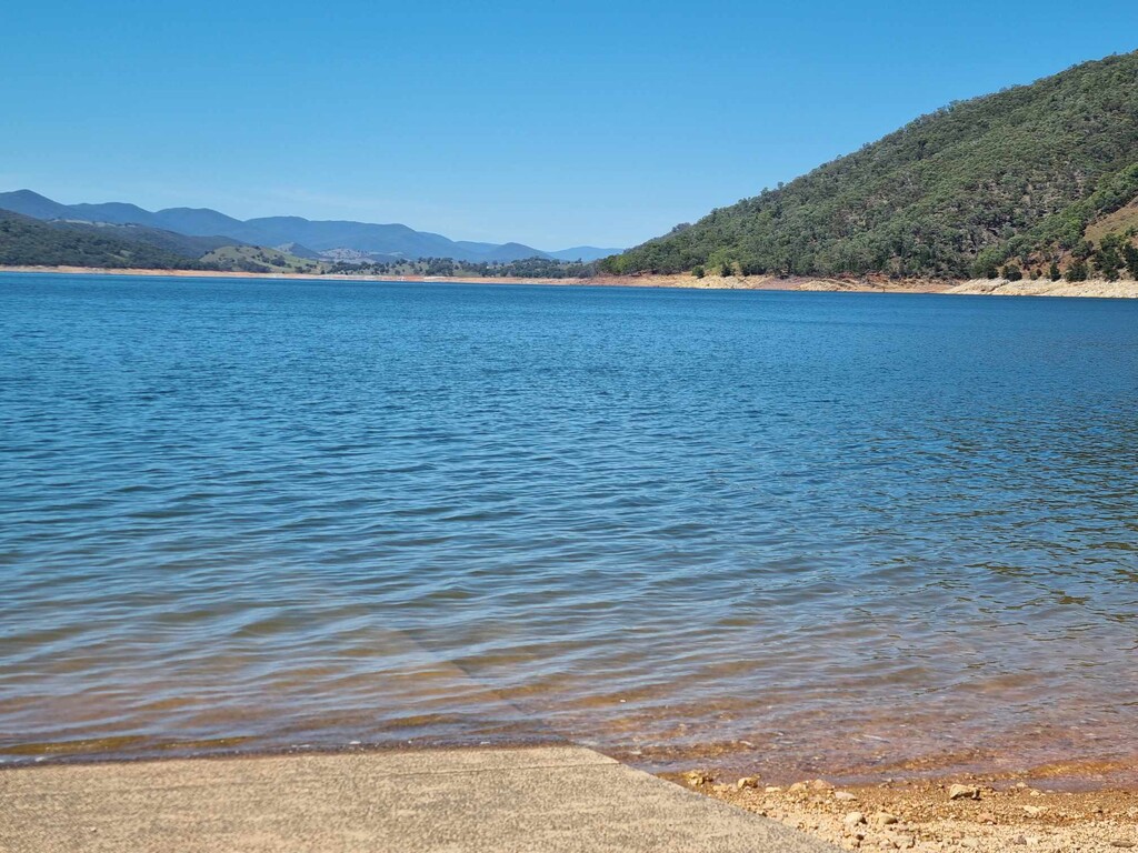

I had my partner drop me at Cooma Cottage just outside of Yass a little before 5am on a cool clear morning. After passing Yass I then turned off onto a dirt road and followed it to Burrinjuck Dam. There is normally a ferry that hikers catch across, however it wasn't running this month. I had decided to swim the 2.5km across and then pick up another track that led me to where the free drops the hikers off (about another 4km). Now following the H&H track. It was mostly dirt roads or fire trails. Where it did go to single trail there were trees down and blackberry vines ready to grab you. We camped overnight.
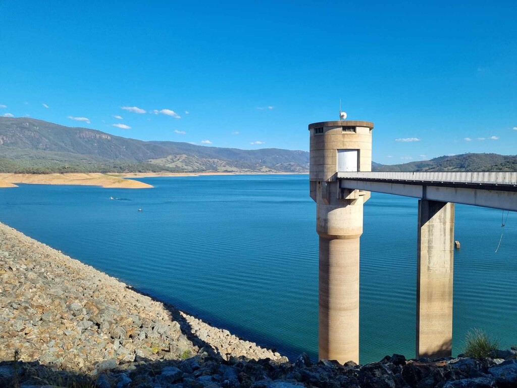
Starting around 5am the next day and straight into fire trail with a few trees down then single trail that was worse. The track had a lot of debris on it and it was narrow and on a camber so I had to be careful. Most of the day was on single trail with more blackberry vines and trees down. Then at about 73km for the day it went back to mostly dirt roads while passing alongside Blowering Dam. We camped along this road.
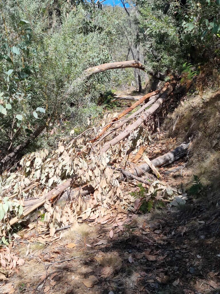
The 1st half of today was all about obstacles.
Starting around 5am on dirt road. I was to meet Dave in 9km and the morning was cool. I didn't carry any water for this reason. Once I got to our meeting point and Dave wasn't there, I called him. (Lucky to have reception) he had got the car stuck and was trying to get it out. I decided to take it easy and do the next 12km section hoping he would be able to get the car free and be able to meet me there. I turned off the road onto a fire trail then onto a single trail that was so overgrown with blackberries I just had to push through for about 50meters. I later got a message to say he had got the car out but now he had to put everything back in the car then he would be there. I checked my map, and I only had 600meters to go. So, I sat and waited for him as the next section was 13km and it would be slow as we had heard there are a lot of trees down. Rest time.
Off again and then some of the stiles were broken, then bridges blocked, trees down and a few land slides.
Once past Buddong Falls the track seemed clearer. I saw 3 trail maintenance guys clearing it. They said it was all clear to Henry Angel campsite where we camped that night.
Not feeling it today. Started through farmland where the trail is hard to follow. You can't always see the posts. Up over Mt Garland then down to Mannus Lake. After that it was through a logging area where they were loading the trucks. The 1st truck I got to once I made myself noticed he let me past, then about 4km later the 2nd guy said I couldn't go through so I said I am hiking the track so he said he would escort me past. He then went up the side of the mountain off the road. It was slippery and I had to be careful. After I came down from the top of that mountain it was meandering along side a river in farmland again. Then out on the road for a few kilometers then back up a forest road for the rest of the day.
Final day and starting to feel tired now. I got attacked by wasps as I went over a stile at about 35km.
Managed to get to the top of Eastern Hill to get the sunset
Over the whole trail I saw camels 🐫, horses 🐎, cows 🐄, kangaroos/ wallabies 🦘, deer 🦌, wild pigs 🐖, wombats, echidna, possums, butterflies 🦋, grasshoppers 🦗, and heaps of different birds 🐦 🐦⬛ but no snakes 🐍