
Hello! Having some issues up loading a second verification link, so here is my Strava below. https://www.strava.com/activities/4208593463
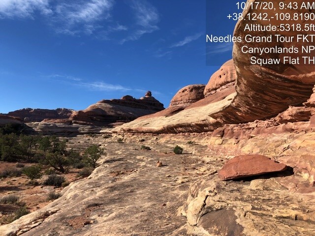
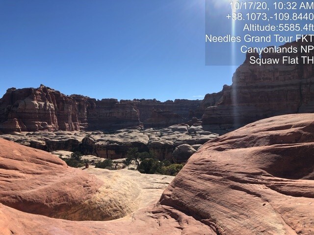
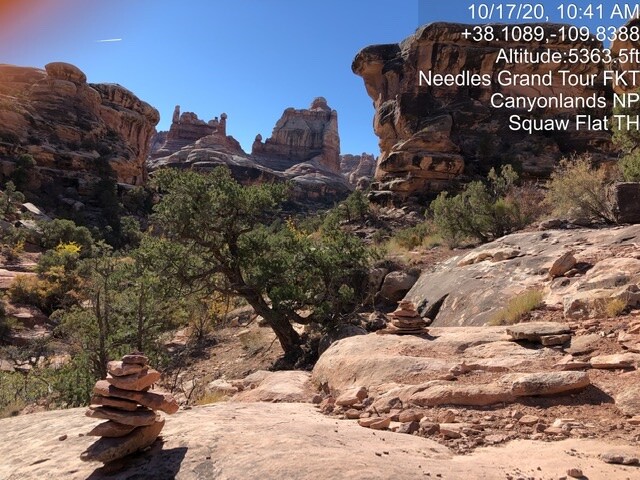
This run is PHENOMENAL and I highly recommend it. This is the closest humans get to running on Mars.
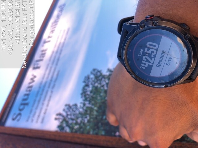
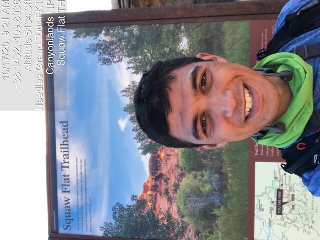
I started on 10/17/20 around 9:00am. Comfortable shorts/tee weather. Come early as the Squaw Flats TH gets packed on weekends. This run was done in counter clockwise direction in keeping with original route.
Terrain: mixture of hard slickrock, sandy trails, and hard packed single track
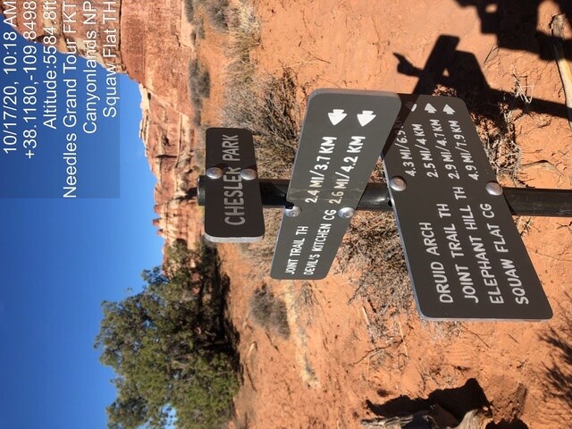
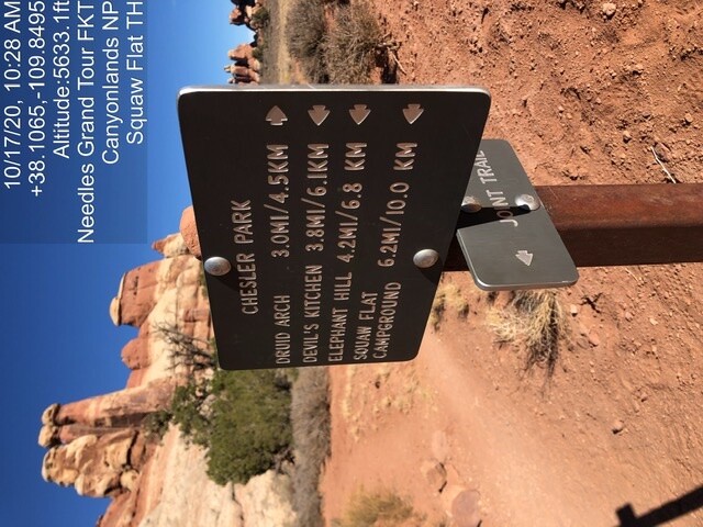
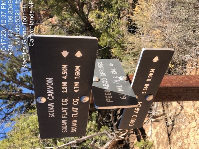
Markings: Cairn-marked Route, marked extremely thoroughly, but I still missed a handful.
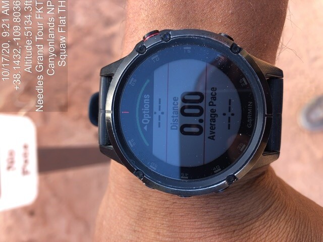
Pack essentials: 2L of water. Gaia with Route was constantly on to double check cairns. Camera. Leave your poles behind due to slickrock.
Hikers: busy trail, saw 30+ people on a Saturday.
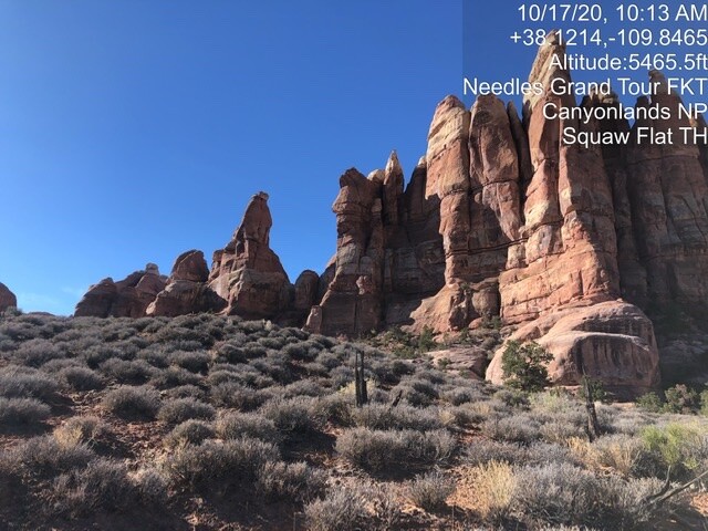
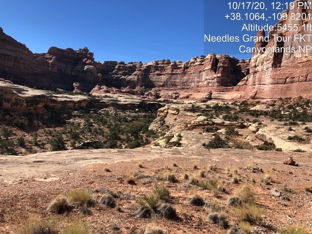
Views: unbelieveable.
Class: 90% runnable with 10% or less hiking or scrambling up slickrock. No formal climbing skills needed.
Water: No water sources on trail in Oct. A few dry creek beds visible so your month may vary. Water available start trailhead bathroom or visitor center.
This run is perfect for the new/aspiring distance trail runner. The length is short, the grades are not high, and it feels like an adventure the whole time. Wayfinding would be cake for an expert but as a novice I had a blast following rock cairns like Indiana Jones. No animals sighted. Route was done without special gear- no snow or ice in October, it was getting hot.
Do not camp on National Park land, esp at this trailhead. There was a ranger handing out tickets. There are BLM camp spots along Indian Creek Rd and Beef Basin Rd.
If you go more than 1/4mi without seeing a cairn, you are off course. Back track and look again. There are many but sometimes they are obscured or higher on trail than expected. If you are running in loose sand in a dry creek bed, you’re usually off. Based on my own experience.
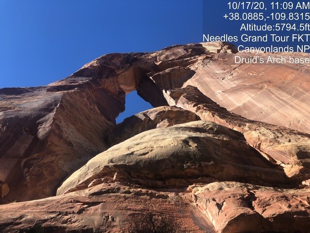
Druid Arch is beautiful and striking, beats any other Arch I’ve seen in Utah. The route GPX shows you running rightttt up to the arch base which is impossible without rope gear. Go until the runnable trail ends, snap a photo, and call it good. I lost 20 minute scrambling around the arch base trying to get closer to no success. After one sketchy pitch, I called it off, took my photo, and turned around.
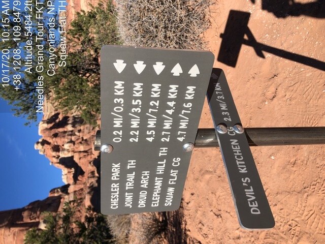
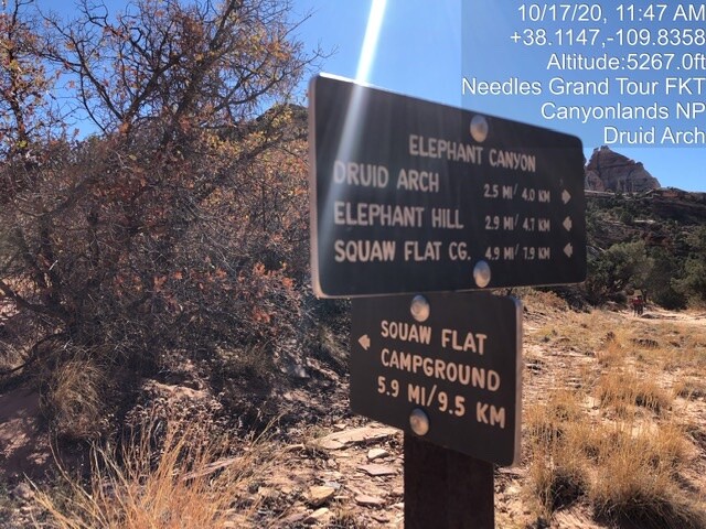
Bring a map and the GPX with you. This area is an awesome trail network, but that means there’s plenty of ways to get lost or turned around. Note that you can wayfind using the campsites (“EC1” etc) which show on the NPS maps and Gaia.
Watch your step! The sandy slickrock got the best of me a few times and I lost traction while skidding downhill. Control your speed and your joints will thank you. You will go for miles on slopes slickrock followed by sand sand sand.
3 Ladders exist on this trail.
Have fun out there! Props to the original route finder for stringing this together, and for FKT.com for sharing. I got to tackle possibly the coolest adventure run terrain I’ve seen to date.