


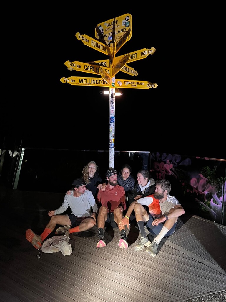
I set out on the 16th of January, 2025, at 4AM. At first I was supported by Henri, Kobe, Marie. After 2 weeks we were joined by Emma and Anna. Henri made the livetracking website again, which allowed people to follow me as well as the crew wherever we went. There were almost no trailheads where no local people showed up, the New Zealanders were so supportive and excited for the record attempt.
For the actual route we used the trail notes as the official guidelines - sometimes you have different options and these are explained in the trail notes.
We had many tidal river and cliff crossings , once we mistimed a crossing and we had to wait for 7 hours for low tide to come.
In some places you had the option to either kayak or run. Where we could, we kayaked, but for instance at Opua we couldn't kayak as the rental companies didn't want to rent as there was a storm at the time. The trail notes, and signage on the trail, showed that the road option is as much Te Araroa as the kayak option.
We tracked 100% with the Inreach Mini 2 which was set at either 2 minutes interval or 5 minutes interval. Additionally I tracked with my GPS watch, only 1 morning was not tracked as the watch crashed after an hour and a half.
Where the trail stops and restarts we opted for the following options:
1: Cook Strait: short flight (I missed our booked 2AM ferry) + local person who ferried us to Ship Cove.
2: Rakaia River: drove around
3: Rangitata River: crossed on foot. Extra information here as apparently you had a concerned email. The trail notes say the following: "While trampers are cautioned not to attempt to cross the Rangitata on foot, fit adults experienced with river crossing techniques have been known to cross safely in low-flow summer
conditions. The best crossing point is above the confluence with the Potts River. Conditions suitable for a foot crossing are most likely to occur in the late summer months. Be aware
though, even in high summer this river can flood and become impassable at any time." I switched off the tracker time the trail stopped and restarted later on. I didn't communicate about this crossing, definitely did not promote it. The crew mentioned we crossed it on foot. The hiker who died is totally unrelated to crossing rivers, she fell off a cliff at a technical section.
By comparison here is what the trail notes say about the Rakaia: Even in low flows, it is not possible to safely cross the river on foot anywhere near Te Araroa's trailhead on the north
bank.
4: Queenstown: drove around to the Greenstone trailhead.
There were some minor deviations here and there on the terrain versus the gpx file of the Te Araroa Trust, I always followed the local markers/signage.
On the tracking website, the pictures that were taken were automatically added to the location where the picture was taken (for extra verification).
Overall we set a really strong record, didn't encounter extreme weather conditions and from pretty early on I was doing long days. The terrain was often very runnable, but especially on the South Island you could have some 'Hard Tramping' sections that could take 10 hours for just 35km.
The support of the local people and the stunning New Zealand landscape made this another unique adventure.