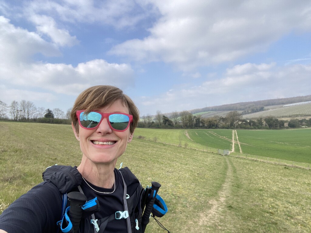
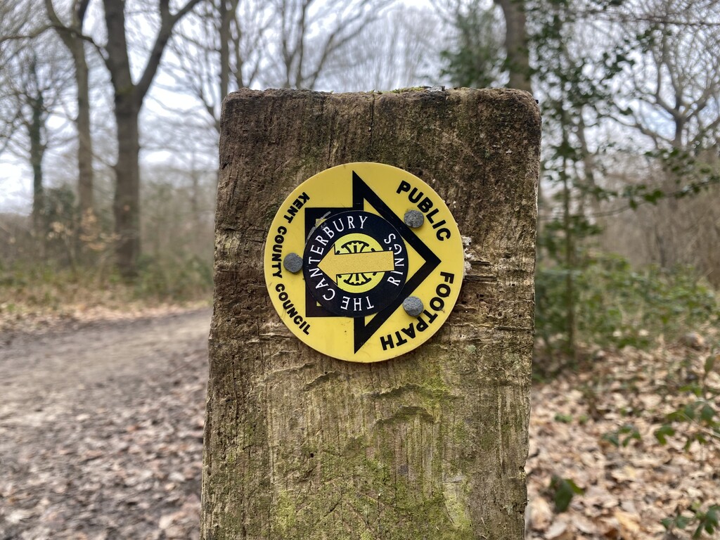
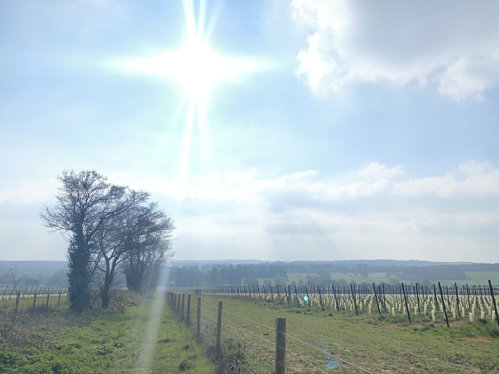
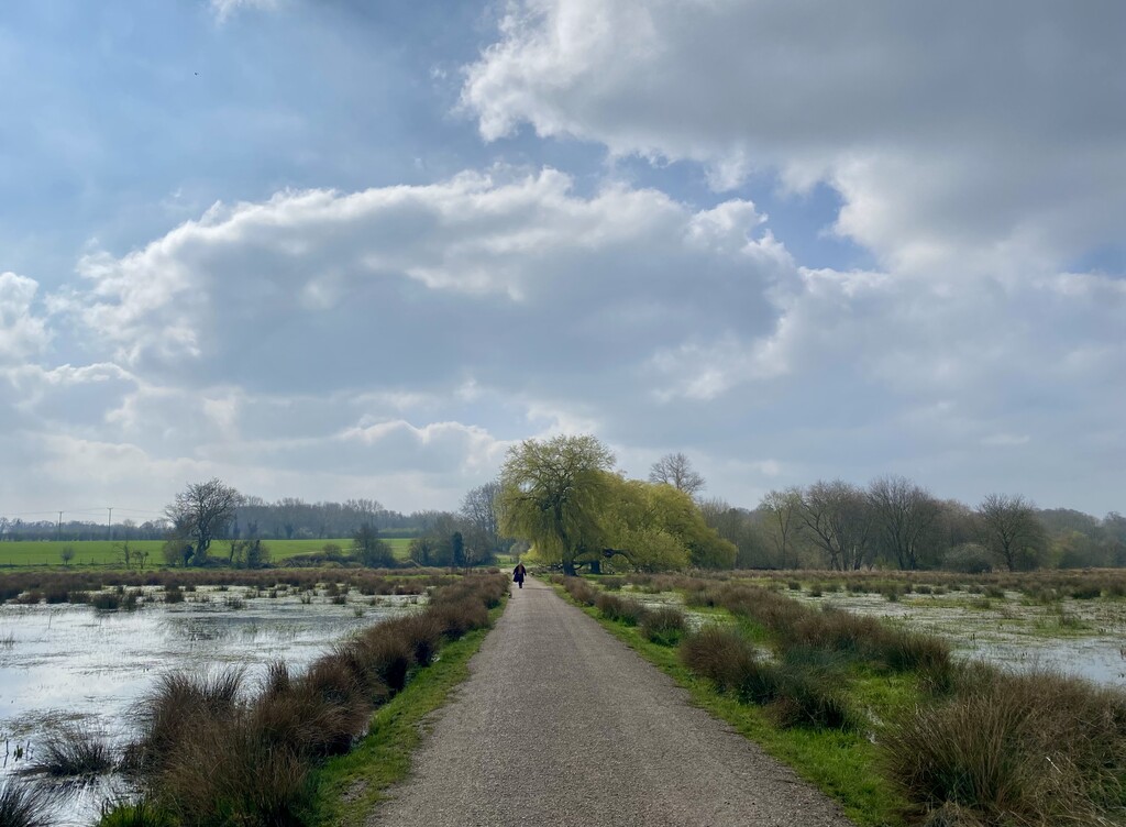
This route is close to home, so I used it as a training run, carrying full race kit. Set off at 07:00, on a beautiful early Spring day. Most of the route is well signposted, taking you through a mixture of woodland, farmland, a vineyard and alongside rivers/streams. Without the GPX file on my watch, I would have missed a few turns - the sign in the photograph nearly caught me out!
There’s one point along the River Stour, where the original GPX takes you across a field that is now fenced off. The diversion, on gravel path, only adds around 100m. The original GPX also shows another short section, near Bekesbourne, following the railway embankment, while the official route cuts across the field.
I carried everything I needed. If you wanted to top up supplies, there are small shops in Lower Hardres, Bridge and Littlebourne, plus pubs in Bridge.