

Big solo day in the mountains! Took a day off work to tackle this linkup before the snow started falling for the season.
Submitting an FKT after some discussion between Jason H and Sean O on my Strava post. Many thanks to the both of them for going out of their way to comment and discuss! I also have to give Sean a lot of credit here because his trip report was really useful.
I mentioned some of this trip report in a comment on this FKT but I'll repost for posterity.
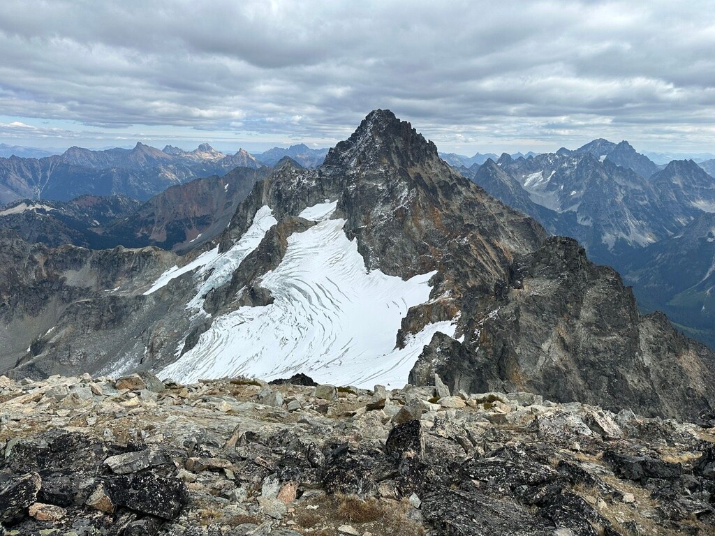
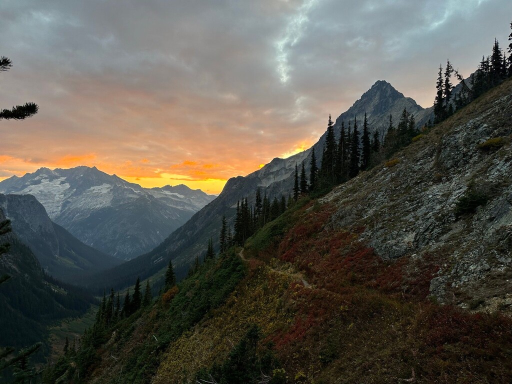
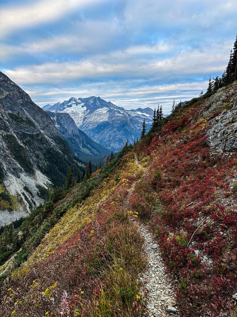
Started up and over Easy Pass and dropped down to Fisher Creek. Beautiful sunrise. At roughly ~5000 ft split off the trail to avoid all bushwhacking. Went up and left, sticking to the left side of a deep gully. Scrambling was roughly class 2-3 with avoidable class 4 moves. Made it to bench at 6600 ft and followed normal route up to Mesahchie/Katsuk col. Traversed over to Mesahchie, had to contend with a tiny bit of snow on the North aspects and in the gully up to Mesahchie. Tagged summit then traversed back over to Katsuk. Then back down the South-trending spur to 7400 ft.
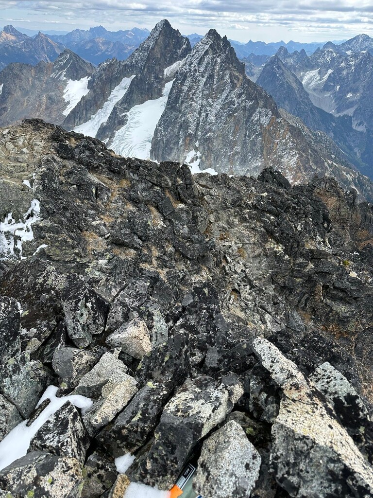
At 7400 ft, took high traverse over to the gully in the middle of the South face of Kimtah. The traverse was loose and chossy, approximately as difficult as scrambling up the peaks themselves. Lots of gullys to contend with, many are not obvious or shown on topo map. Tagged Kimtah and then made an arduous traverse/downclimb to the Kimtah-Thieves col. Steep and loose downclimb, also got a little cliffed out at one point and had to traverse over one gully to the North to make it to the col.
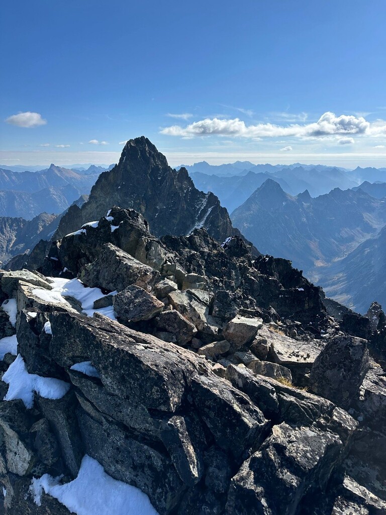
From here you can drop to the North onto the Kimtah glacier, but I did not have an axe or crampons. It was much too steep/icy to kick steps with trail runners and no pro. Instead, I dropped down the South gully between Kimtah/Thieves to about 7100 ft. This placed me in the Cosho gully, which I ascended to the Cosho col at 7900 ft. From here it was a quick Class 3 scramble on good rock to the Cosho summit.
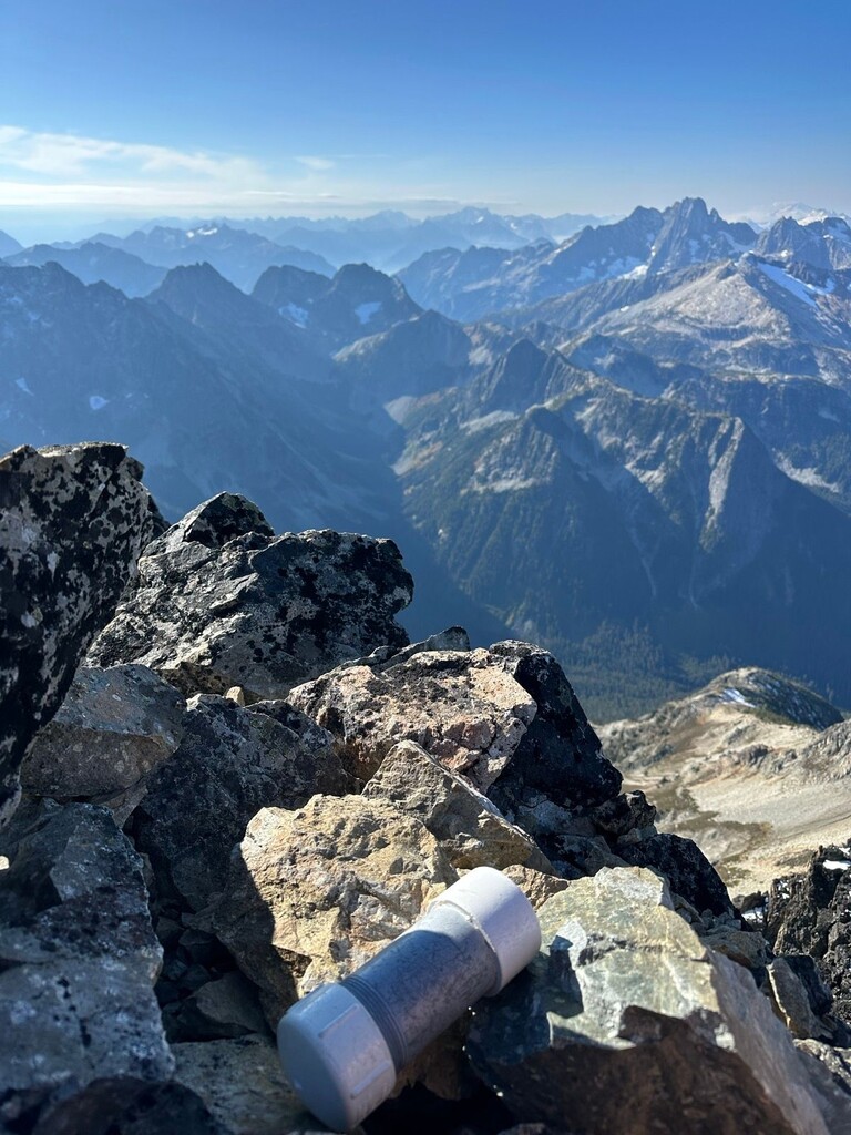
Sean O mentioned in his trip report that dropping to Fisher Creek Trail was a better option than traversing out. I took this to heart and I descended the Cosho gully, which was quite steep and loose. Negotiated Class 4 downclimbs on dry waterfalls. This took a fair bit of time and route finding. I stayed in the gully as long as I could, using veggie belays as able. I think this downclimb was the most challenging part. I did slip and fall once when loose dirt gave way, but not very far and caught myself on some alder. From ~4100 ft down to Fisher Creek I encountered thick slide alder that took ~45 mins to go 1/4 mile. A better descent route here would save a ton of time and I agree with Sean that it is best to just get down to the trail instead of trying to traverse out. Crossed Fisher Creek on a massive downed tree.
After being reunited with the trail, it's just a long slog up Fisher Creek Trail to Easy Pass. Beautiful sunset. Then cooked it on the downhill back to the parking lot in the dark! Managed to not eat it on the trail even though I was exhausted.