
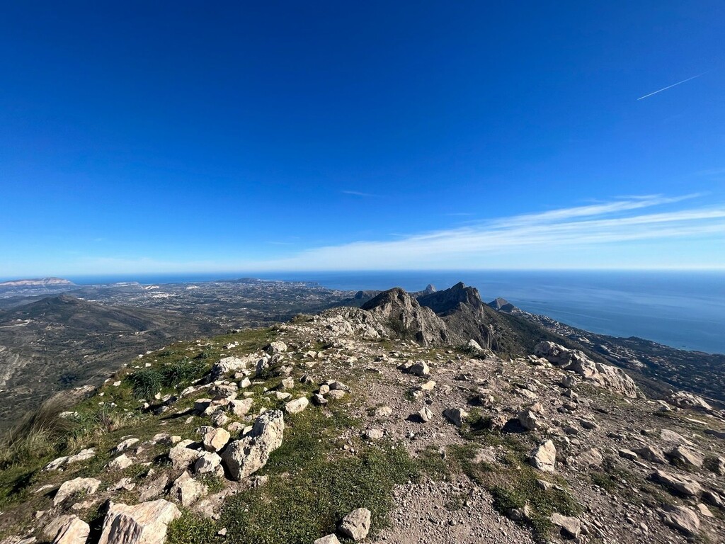
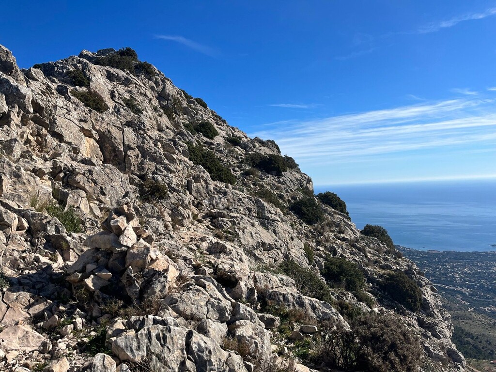
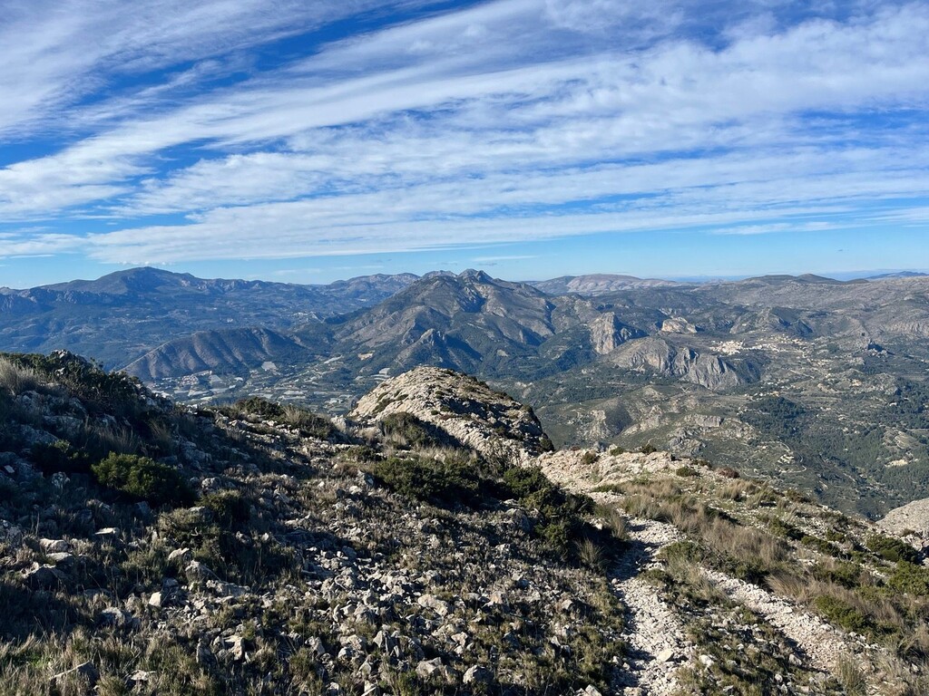
From sea to summit in 7 miles (11km), with 4k feet (1200m) of elevation gain total. Incredible route! Views for days. I ran with 1.5L of water and snacks. I did get lost a few times so I was glad I had downloaded the gpx file that the other athlete submitted. The road is mainly paved for the first 3 miles (5 kms) so the majority of the elevation gain is in the last half of the ascent. I made a wrong turn at the picnic area at about 5.5 miles (8.8kms). There, be sure to pass the picnic area on your right and get on a paved road, instead of continuing on a trail. The trail is overgrown and there are a lot of sharp bushes, so follow the road up to the next little parking area, and there pick up the trail again. I corrected that mistake on the way back down, which you'll see on my Strava map. The other challenging part for navigation is above Fort de Bernia. The trail is not always obvious, and especially when I reached the foot of the sheer rock face I couldn't believe the trail kept going along the rocky and sharp ridge. I was able to see occasional (very faded) red markings on rocks, but other than that, the route was a bit challenging to find and follow. I'm glad I saw people ahead on the ridge, or I wouldn't have believed it was possible to get up there. One section is sketchy enough that someone even installed a chain to hold on to. Big thank you to them!