


About the Milseburgweg:
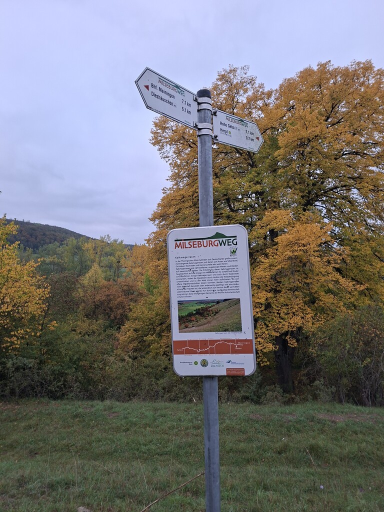
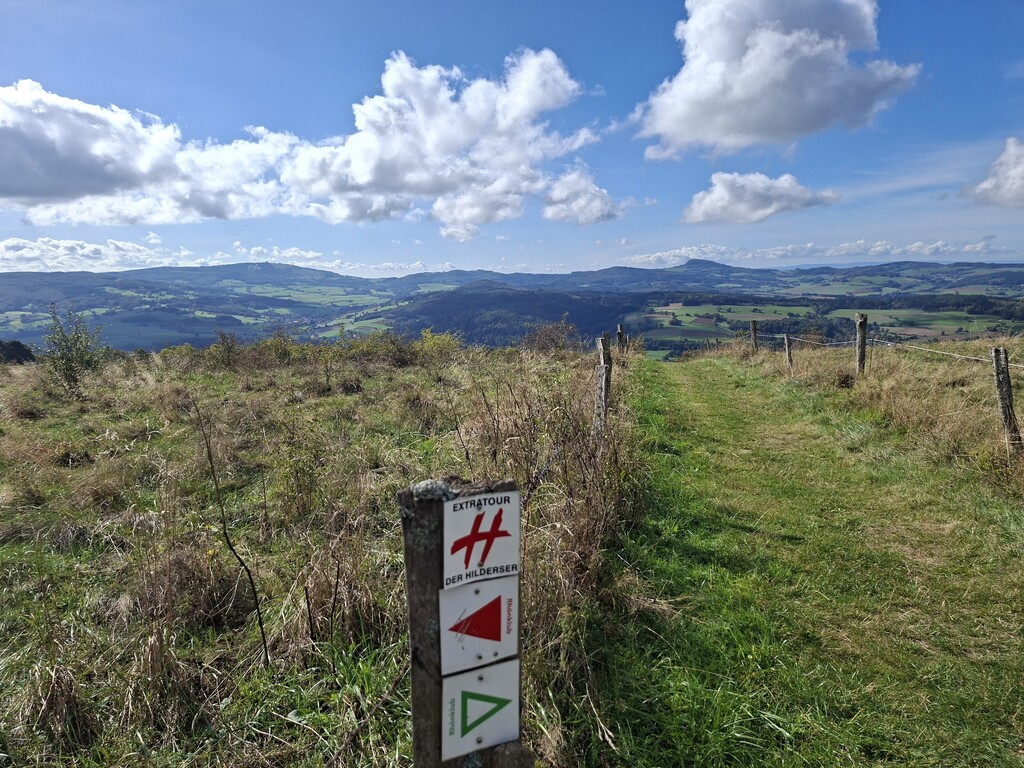
The Milseburgweg crosses the Rhön region from east to west (or west to east), connecting the railway stations of Meiningen (in the state of Thuringia) and Fulda (in Hessen). Its official length is 80.4 km with an elevation gain of 2,029 meters (as of March 2026; see https://www.outdooractive.com/de/route/fernwanderweg/milseburgweg-hwo3-fulda-meiningen-rhoen/39071861/), whereas older sources cite a length of about 82 km. It is named after the "Milseburg," one of the most beautiful peaks in the Rhön, standing at 835.2 meters. The trail is very well marked with a red triangle on a white background.
My Day:
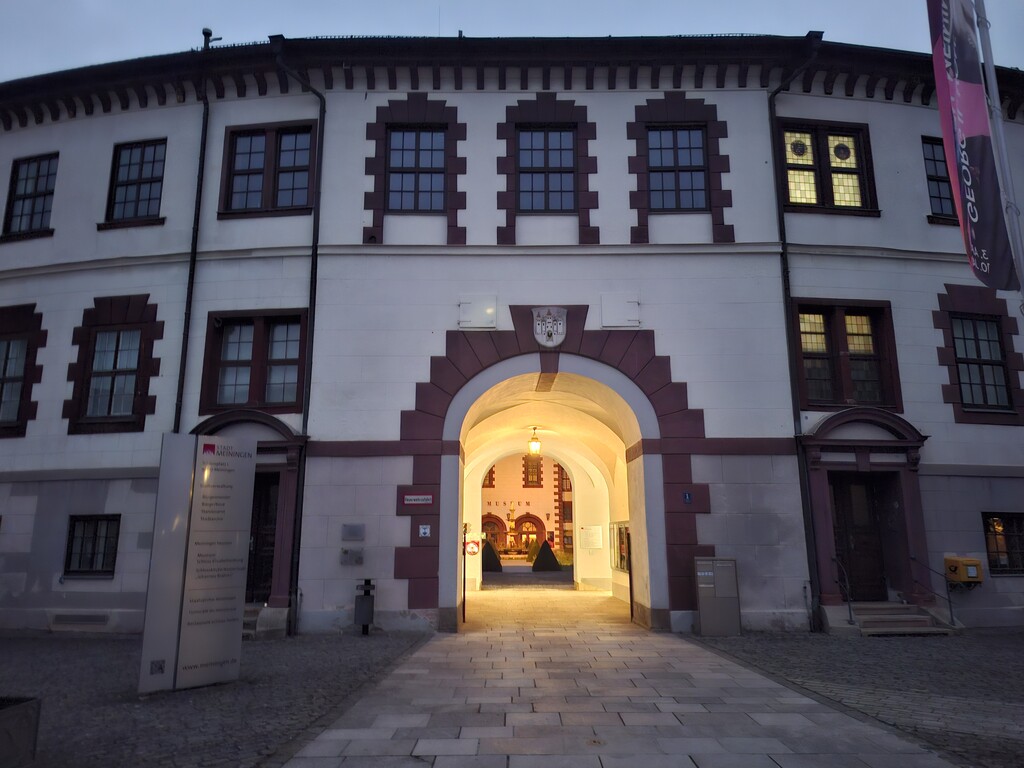
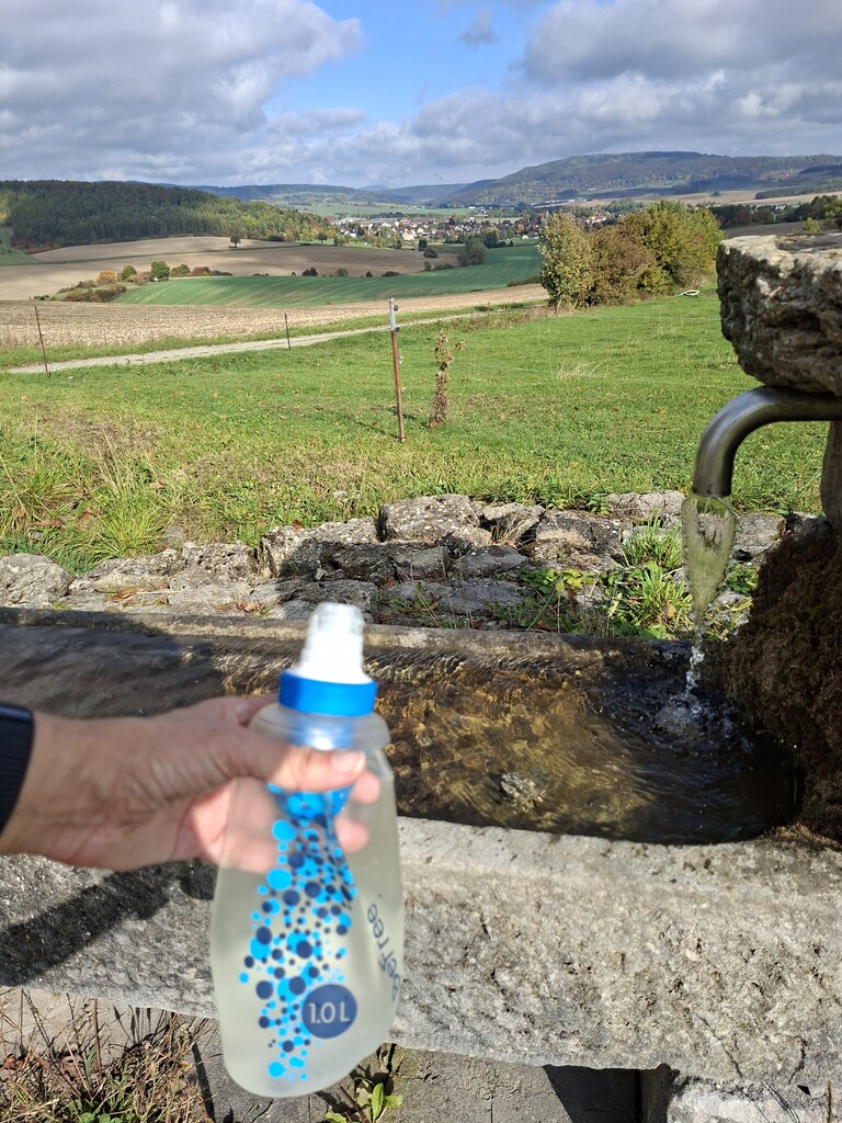
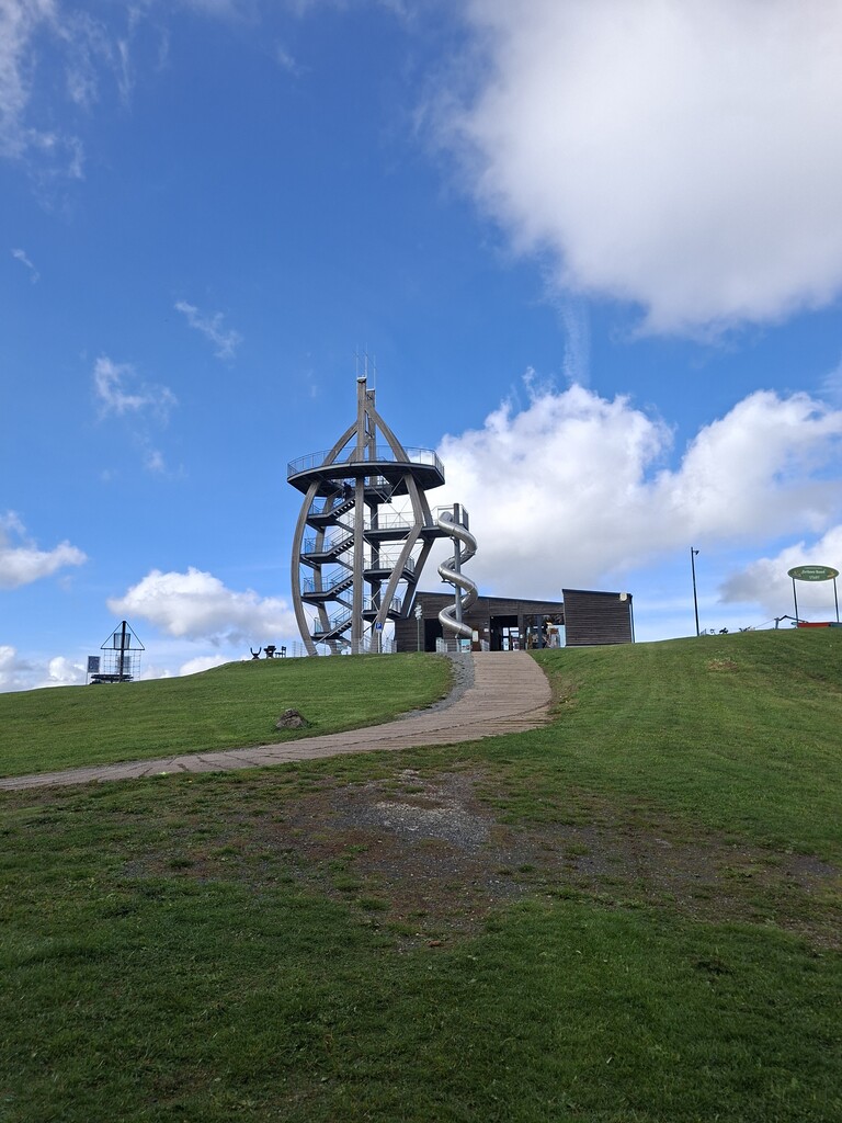
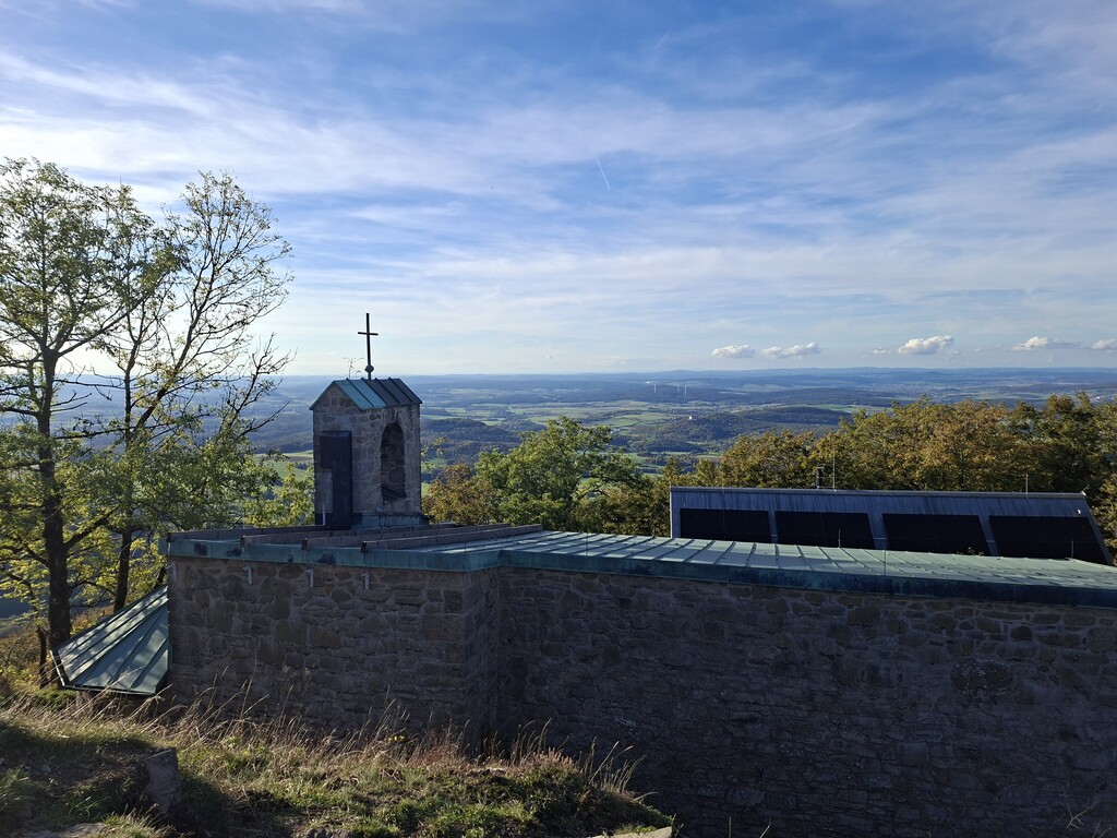
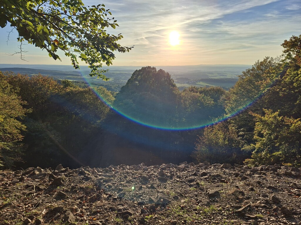
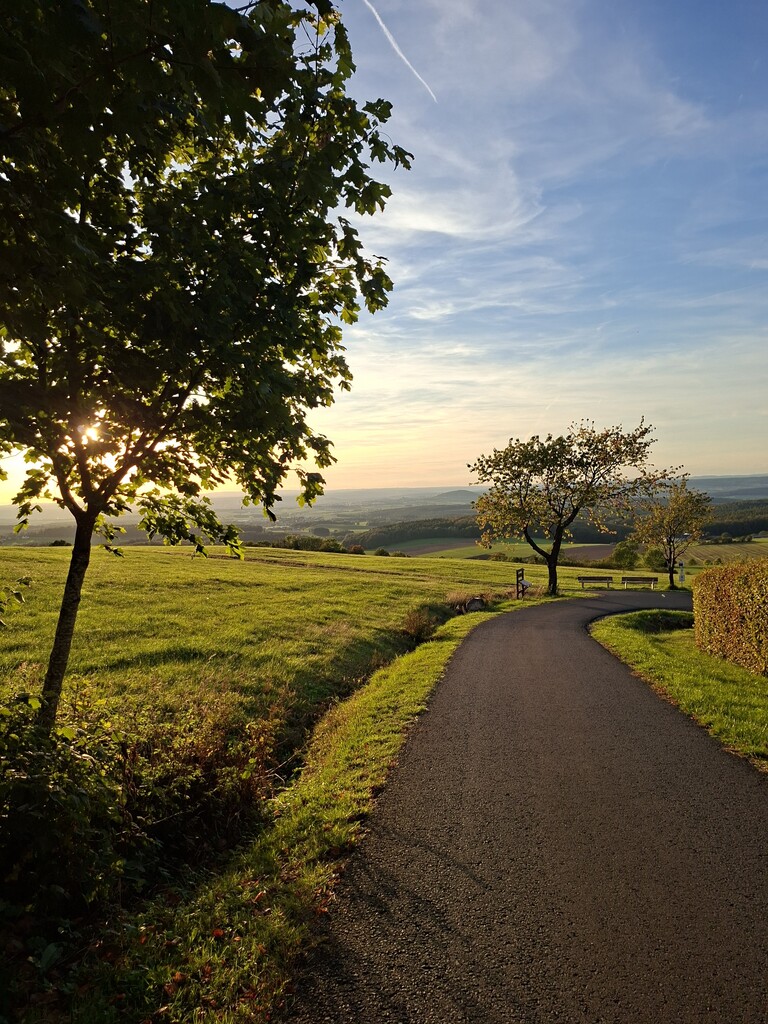
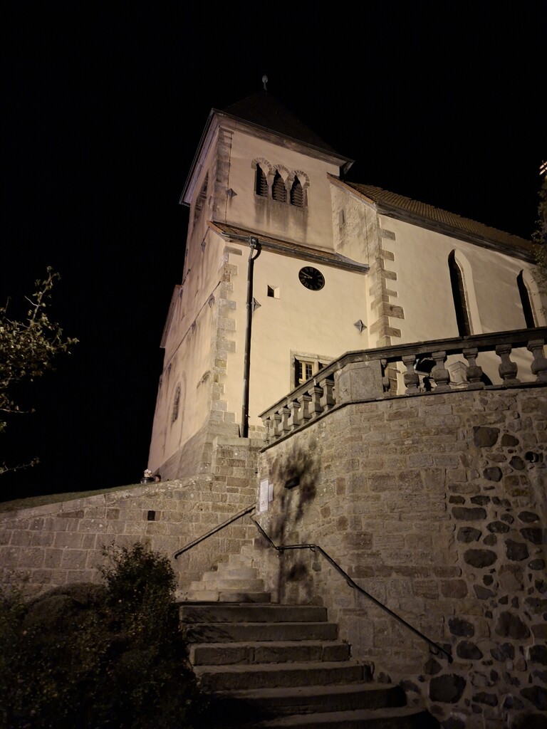
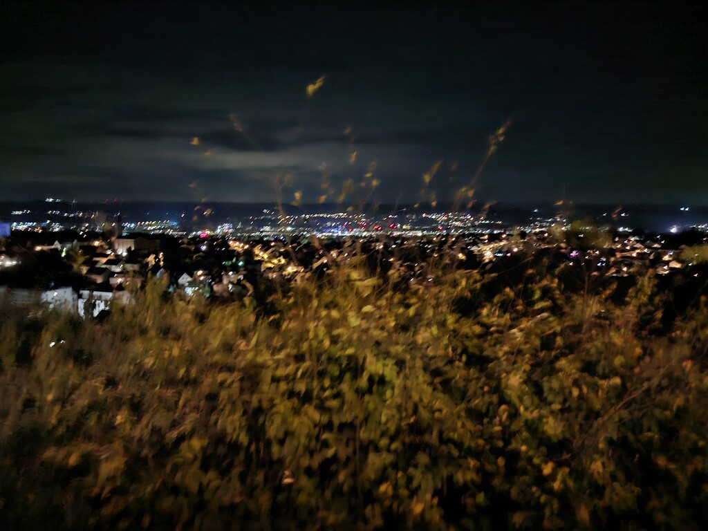
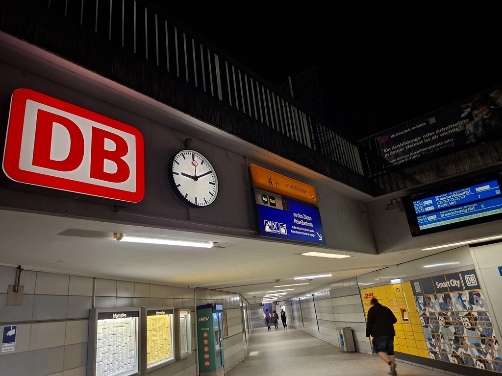
Early in the morning, I drive to Meiningen through the dark Rhön landscape, park near the train station, and look for the start of the trail. It begins unspectacularly in front of the station at 6:43 AM, leading me first through a small city park past historic buildings, and then quickly up into the first stretch of forest. From this point on, forests and meadows alternate, with only occasional passages through small villages. It gets light quickly, but since it is early October, the grass is very wet. During the first few hours, I have to stop often to wring out my socks. Conditions only improve once the sun breaks through and warms the ground. I have the summit plateau of the Hohe Geba all to myself that morning; in fact, I encounter hardly anyone until I will reach the Ellenbogen and the Milseburg. Since I am hiking unsupported, I need to refill my water supply. South of Kaltensundheim, the path takes me past a public fountain flowing with cold, clear drinking water, and I refill my three-liter supply. My next highlight is the Ellenbogen, a viewpoint where I catch my first glimpse of the Milseburg—a distinctive peak rising in the distance. Shortly after, I cross the border between the two federal states that once separated East and West Germany. It just so happens to be German Unity Day—the national holiday. Perfect timing! The Buchschirmberg near Hilders is always worth a visit, though the descent into the valley is no longer much fun for my legs. I’m halfway there. My next intermediate goal is the Milseburg, which I reach in the late afternoon. It’s bustling with people on this holiday. I make a quick dash to the summit, snap a photo, and start the descent. The trail—which until now has mostly followed forest roads and agricultural tracks—turns into a beautiful singletrack winding around the Milseburg before heading toward the Fuldaer Haus and the Stellberg. The path over the Stellberg’s wooded summit has recently been permanently closed; dry summers have made the trees there too dangerous. The official GPX track hasn't been updated yet, but the signs guide me past the summit along a lower route. Emerging from the woods, I can already see my next destination in the distance: the Liobakirche. The city of Fulda lies in the valley beyond. Most of the climbing is behind me, yet I can barely bring myself to break into a run. The sun is slowly setting, and I have to switch on my headlamp. I’m familiar with the final few kilometers; the scenery isn't particularly impressive, but since it’s dark now, it doesn't really matter. I pass under a motorway, walk up to the church, and follow the path down to Fulda. Just a few meters from the end, the path is blocked by a construction site, and I have to take a different route. After 14 hours and 23 minutes, 81.44 km, and 2.298 meters of elevation gain, I arrive at Fulda train station.
Über den Milseburgweg:
Der Milseburgweg überquert die Rhön in Ost-West-Richtung (oder West-Ost) und verbindet die Bahnhöfe der Städte Meinigen im Bundesland Thüringen und Fulda in Hessen. Die offizielle Längenangabe ist 80,4 km mit 2.029 hm (Stand: März 2026, siehe https://www.outdooractive.com/de/route/fernwanderweg/milseburgweg-hwo3-fulda-meiningen-rhoen/39071861) wohingegen ihn alte Quellen noch mit ca. 82 km angeben. Sein Namensgeber ist der Berg „Milseburg“, einer der schönsten Berge der Rhön mit 835,2 m. Er ist sehr gut markiert durch ein rotes Dreieck auf weißem Grund.
Mein Tag:
Frühmorgens fahre ich nach Meiningen durch die dunkle Rhön, parke nahe des Bahnhofs und suche den Trailstart. Der beginnt um 06:43 unspektakulär vor dem Bahnhof und führt mich zunächst durch einen kleinen Stadtpark vorbei an historischen Gebäuden und dann zügig hinauf in das erste Waldgebiet. Ab jetzt werden sich Wälder und Wiesen abwechseln, nur gelegentlich durchquere ich kleine Dörfer. Es wird schnell hell, aber Anfang Oktober ist das Gras sehr nass und ich muss in den ersten Stunden unerwartet häufig stoppen und meine Socken auswringen.
Das wird erst besser, als die Sonne durchbricht und den Boden erwärmt. Das Gipfelplateau der Hohe Geba habe ich am Vormittag für mich allein, überhaupt sollte ich bis zum Ellenbogen und der Milseburg kaum Menschen begegnen. Da ich unsupported unterwegs bin, muss ich Wasser auffüllen. Der Weg führt südlich von Kaltensundheim an einem öffentlichen Brunnen vorbei, der kaltes klares Trinkwasser führt, und ich fülle meine drei Liter Wasser auf.
Mein nächstes Highlight ist der Ellenbogen, ein Aussichtspunkt, bei dem ich das erste Mal die Milseburg als markante Erhebung in der Ferne sehen kann. Kurz danach kreuze ich die Grenze zwischen den beiden Bundesländern, die früher die DDR von der BRD getrennt hat. Heute ist zufällig der Tag der deutschen Einheit, Nationalfeiertag. Passt! Der Buchschirmberg bei Hilders ist immer einen Besuch wert, aber der Abstieg ins Tal ist kein Spaß für meine Beine mehr.
Die Hälfte ist geschafft. Das nächste Teilziel ist die Milseburg, die ich am späten Nachmittag erreiche. Am Feiertag heute ist eine Menge los. Ich klettere nur schnell auf den Gipfel, mache ein Foto und gehe dann an den Abstieg. Der Weg, der bisher viel über Forststraßen und landwirtschaftliche Wege ging, führt in wunderschönem Singletrail um die Milseburg herum, eher er sich Richtung Fuldaer Haus zum Stellberg macht. Der Weg über den bewaldeten Gipfel des Stellbergs ist seit kurzem dauerhaft gesperrt, die trockenen Sommer haben die Bäume ihn zu gefährlich gemacht. Der offizielle gpx-Track ist noch nicht auf dem neusten Stand, aber die Schilder führen mich unterhalb des Gipfels vorbei. Aus dem Waldstück heraus kann ich mein nächstes Ziel schon in der Ferne sehen: die Liobakirche. Im Tal dahinter liegt Fulda.
Die meisten Höhenmeter liegen hinter mir, aber ich kann mich kaum noch dazu bringen in den Laufschritt zu wechseln. Langsam geht die Sonne unter, und ich muss meine Kopflampe einschalten. Die letzten Kilometer kenne ich schon; sie sind landschaftlich nicht sonderlich schön, aber da es nun dunkel ist, ist es eh egal. Ich unterquere eine Autobahn, steige zur Kirche hinauf und folge dem Weg hinunter nach Fulda. Wenige Meter vor Schluss ist der Weg durch eine Baustelle gesperrt und ich muss eine andere Route wählen. Nach 14 Stunden und 23 Minuten, 81,44 km und 2298 Höhenmetern komme ich am Bahnhof Fulda an.