


Ohio & Erie Canal Towpath Trail — Self-Supported FKT Report
Date: November 7, 2026
Direction: North to South (Cleveland to the southern terminus at Route 800)
Category: Self-Supported
GPS Distance: 90.01 miles
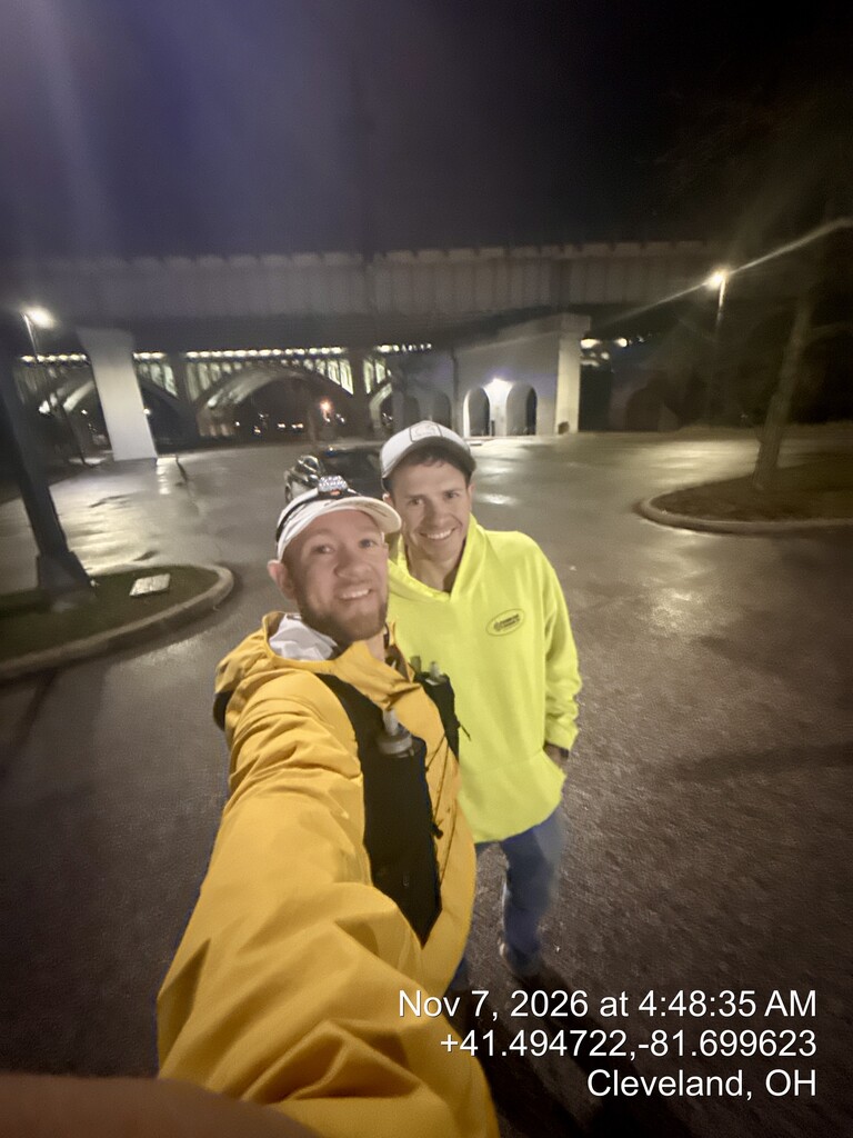
Start: 4:48:35 AM
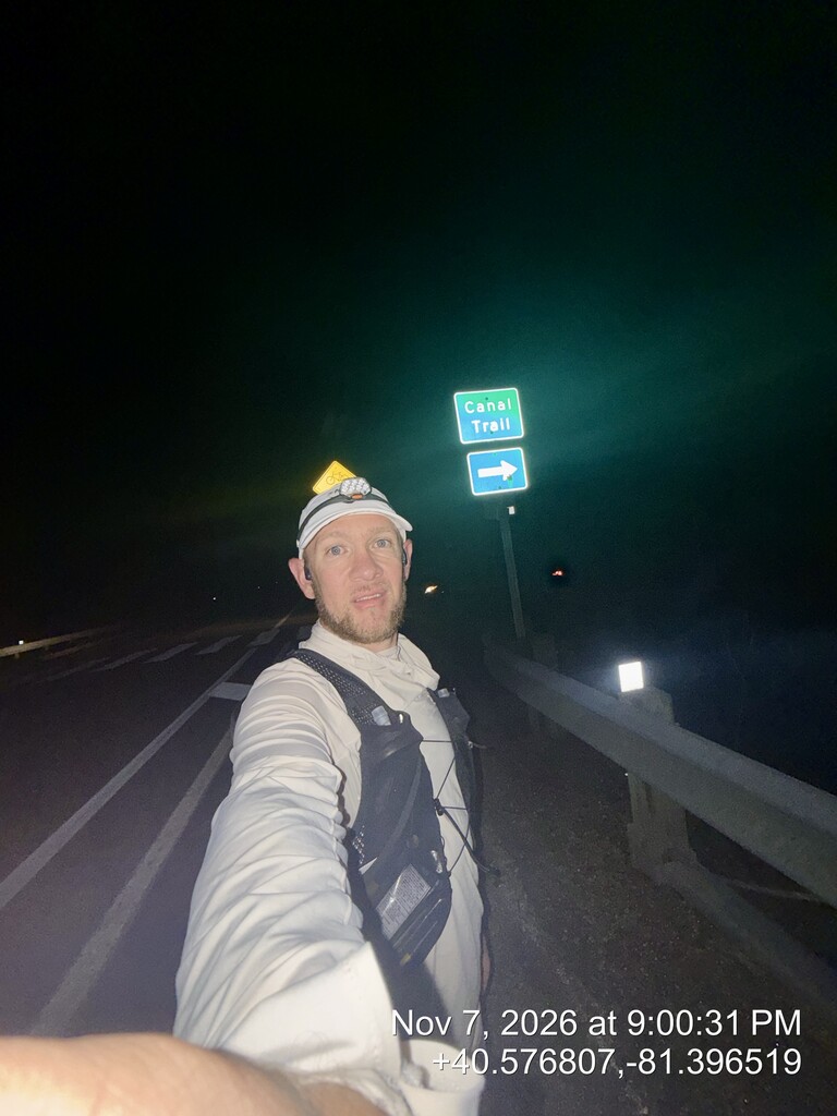
Finish: 9:00:31 PM
Total Elapsed Time: 16:11:56
This was an adventure I'd had on my bucket list for quite some time.
My training build was relatively short, and things got a little more complicated when I strained my calf during my taper. I had originally planned to make the attempt on October 31, but with the injury limiting my ability to run, I postponed it one week. Even then, I wasn't sure how my calf would hold up. Ultimately, I decided to give it a shot and see what happened.
On Friday, November 6, I drove north along the route and placed my supplies at approximately 10-mile intervals. These consisted primarily of premixed hydration, gels, and some additional food and drinks. Since this was a self-supported attempt, I planned to rely entirely on my preplaced supplies, publicly available water, and anything I could carry.
I also left my truck at Vanderhoof Trailhead, approximately mile 51, stocked with extra food, clothing, shoes, and other supplies.
A friend and fellow DS dad Jarrod McCleary picked me up at Vanderhoof and drove me to Cleveland the evening before the attempt. His assistance was strictly transportation before the clock started, and I received no outside assistance during the attempt.
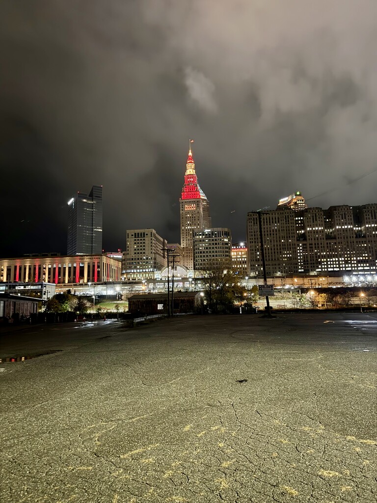
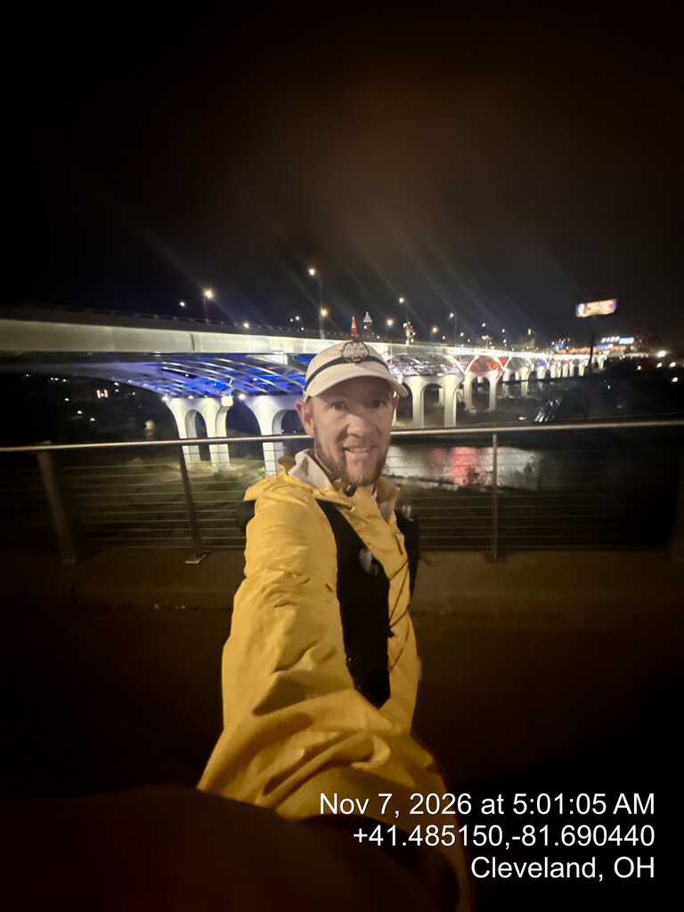
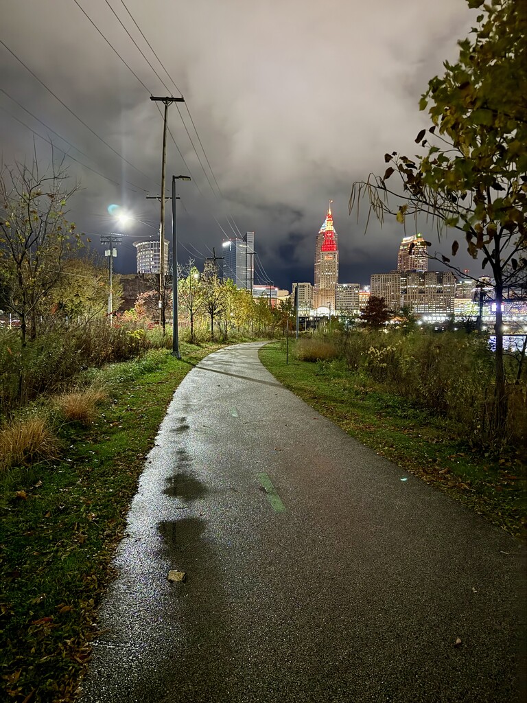
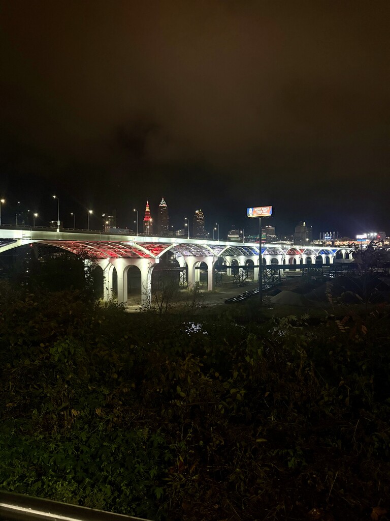
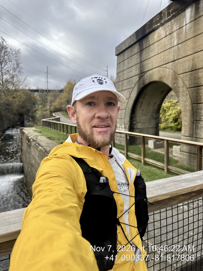
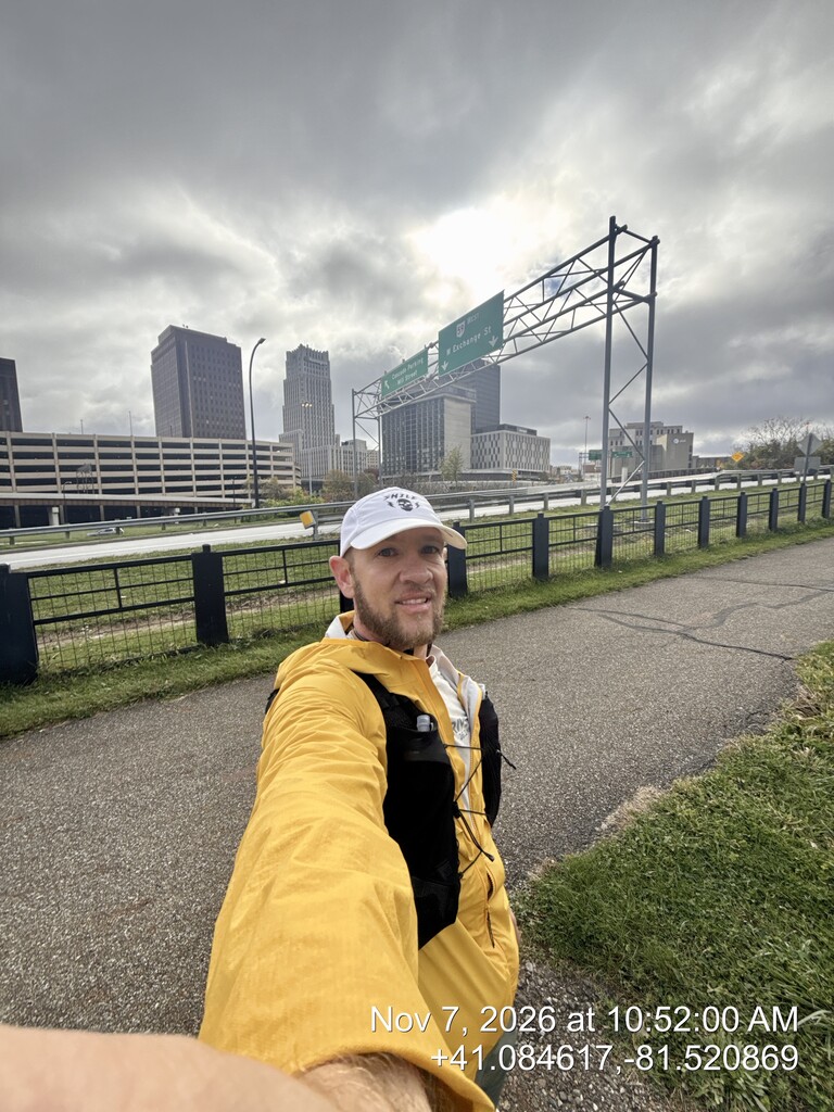
I started at the northern terminus at 4:48:35 AM on Saturday, November 7, under stormy skies. Rain began shortly afterward and continued intermittently, eventually tapering to a light drizzle before stopping sometime after mile 8.
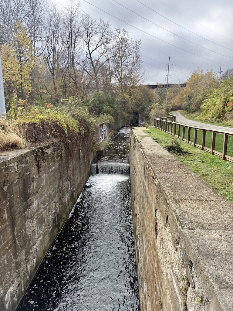
Early on, I missed the turnoff to my first supply drop at Lock 39, around mile 11.27. Rather than backtrack, I continued south and found publicly available water at the Canal Exploration Center around mile 13. This allowed me to continue without any significant issues. I returned on November 8 and retrieved the unused supply drop at Lock 39, so nothing was left behind.
From the very beginning, I used a deliberate run/walk strategy. I walked for one minute at the beginning of every mile, then ran the remainder. My reasoning was that the Towpath is extremely flat for much of its length, which creates hours of repetitive motion using the same muscles. By incorporating short walking breaks before I became fatigued, I hoped to reduce muscular stress, make fueling and hydration easier, and preserve my legs for the later miles.
This strategy worked remarkably well.
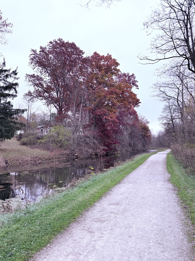
The early miles were quiet, with very few people on the trail. As I entered Cuyahoga Valley National Park, I began seeing more runners and other trail users.
One significant complication was a National Park Service closure between Boston and Peninsula due to the Stumpy Basin boardwalk replacement project. Because the Towpath was closed through this section, I left the trail at Boston, followed Riverview Road south to Main Street in Peninsula, and rejoined the Towpath at Lock 29 Trailhead.
This road detour was similar in distance to the original trail but added considerably more elevation change.
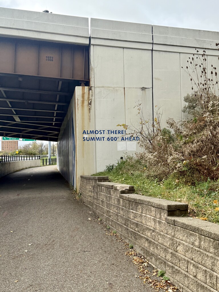
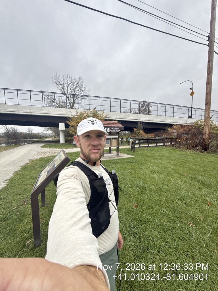
Continuing south through Cuyahoga Valley, the running remained relatively comfortable. However, leaving the park and climbing toward Akron proved to be one of the most challenging sections of the day. This area included the largest sustained elevation change of the route, with several miles of climbing.
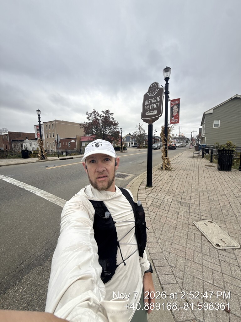
Navigating through Akron also presented some challenges. I made several minor wrong turns and had to backtrack to regain the correct route. Fortunately, none of these mistakes added substantial mileage.
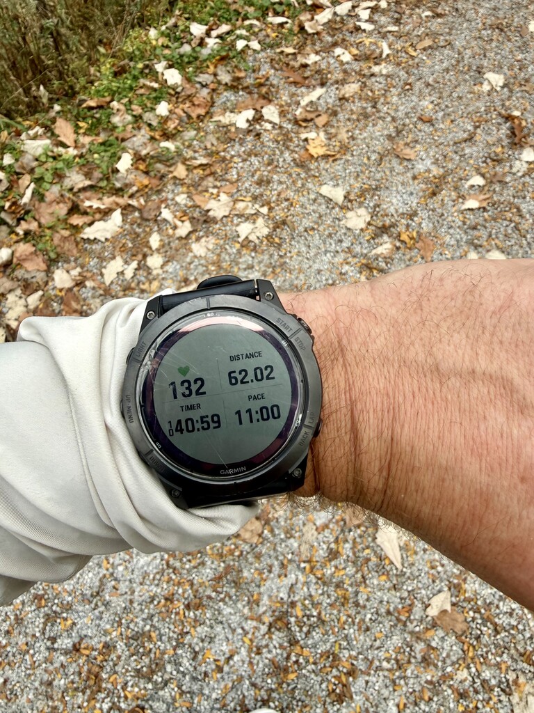
I reached mile 50 in 8:06:41 elapsed time, then continued downhill to my truck at Vanderhoof Trailhead around mile 51.
This was my longest stop of the attempt. I ate a peanut butter and jelly sandwich, chips, and drank a Coke. I also changed socks, reapplied lubricant to my feet, and put on a dry shirt.
At this point, my hips were beginning to hurt, although I still felt surprisingly good overall.
I decided to modify my run/walk strategy for the remaining distance. Instead of walking one minute at the beginning of each mile, I began walking one minute at the beginning and another minute at the halfway point. This provided two short recovery periods per mile while allowing me to maintain a steady forward pace.
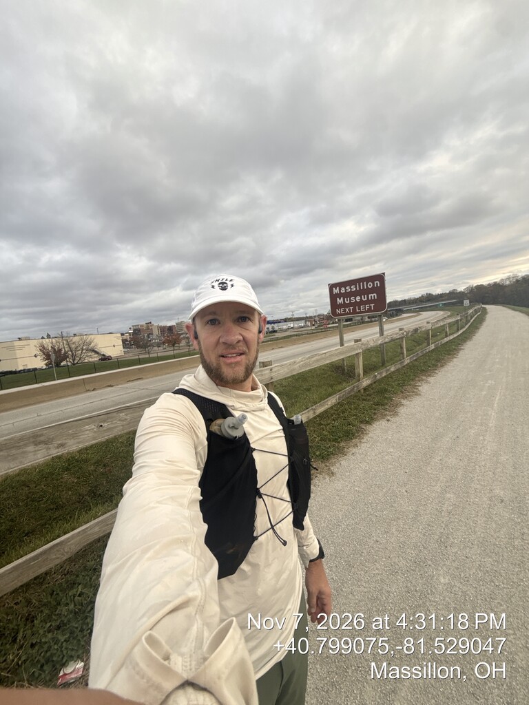
I made good progress south through Massillon, reaching my supply drop at John Glenn Grove Trailhead shortly after 5 PM.
This was familiar territory for me, as I've logged many training miles along this section of the Towpath. Knowing the trail and what lay ahead was a welcome mental boost.
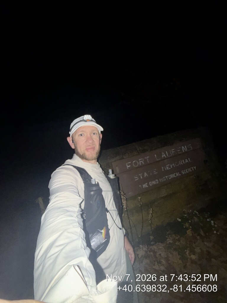
By this point, darkness had settled in. Over approximately the next 20 miles, I believe I encountered only two other people.
Running through the darkness became mentally monotonous. My headlamp illuminated only a narrow section of trail ahead, and the hours seemed to blend together. With very few landmarks visible, the focus became simply continuing forward, one mile at a time.
Reaching Bolivar was a significant psychological milestone. I knew I was finally approaching the southern end of the trail.
However, the final six miles proved to be among the most difficult of the entire attempt.
Up until approximately mile 80, I had felt capable of maintaining my running intervals reasonably well. Beyond that point, my legs became increasingly heavy and painful, and maintaining the same pace required considerably more effort.
Interestingly, the calf injury that had nearly prevented the attempt never bothered me throughout the entire day.
Despite the increasing fatigue, I continued moving forward, alternating running and walking as needed.
At 9:00:31 PM, I reached the southern terminus of the Ohio & Erie Canal Towpath Trail at Route 800, where my wife was waiting to pick me up.
My total elapsed time from start to finish was 16 hours, 11 minutes, and 56 seconds, with a GPS-recorded distance of 90.01 miles, including the required road detour and minor navigational errors.
My average elapsed pace was approximately 10:48 per mile, including all stops, walking breaks, and time spent replenishing supplies.
A few things stand out when I look back on this attempt.
First, my nutrition and hydration worked extremely well. I never experienced nausea or significant stomach problems, which was a tremendous advantage over such a long distance.
Second, the planned walking breaks were a major part of my strategy. Starting them immediately, rather than waiting until I was exhausted, helped me maintain relatively consistent forward progress. Increasing the frequency after mile 50 also seemed to help manage the accumulating fatigue.
Third, I was incredibly grateful that my calf injury never became an issue. After struggling to run during the taper, I genuinely wasn't sure whether I would even make it through the early miles.
From a self-supported standpoint, I carried my own supplies between stops, used preplaced food and hydration, accessed publicly available water, and received no pacing, crewing, or physical assistance during the attempt. All supply drops were placed by myself before the attempt, and the missed Lock 39 drop was retrieved by me the following day.
I'm especially thankful to my friend for the transportation before the start and to my wife for meeting me at the finish.
Most of all, I'm grateful to God for the health, strength, and opportunity to take on something like this. There were certainly some difficult moments, but the ability to cover this distance on foot is something I don't take for granted.
This was a challenging but incredibly rewarding adventure, and I'm thankful to have completed it.
Final Result: 16:11:56 elapsed time — 90.01 GPS miles — North to South — Self-Supported.