

What a spectacular route! I already had some general idea of what that 25-mile drive on the Mineral King road would be like and it's definitely no joke. There has been ongoing construction on that road during the week-days in the summer so checking the NPS website road construction page for SEKI before going is helpful.
You can borrow tarps from the ranger station shed to tarp your car if you go while the marmots are active. When I did this in mid-August, there was a sign posted at the ranger station informing visitors that no tarping was needed and my car was fine.
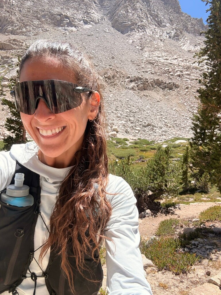
Now to get into the meat and potatoes of the day! I started running at around 6:45am (an hour later than intended cause I snoozed my alarm a few times). I decided to run the loop clockwise heading up Timber Gap and coming down Sawtooth Pass due to the advice of a friend and it was definitely the way to go in my opinion. The first 8 miles are through a shaded forest. There were quite a few sections of the trail between miles 4-8 that were a bit overgrown with Thimbleberry bushes, ferns, and other low-lying shrubs. The trail at around mile 8 goes through a marsh that seemed impossible to avoid and ended up calf-deep in water at some points. My feet were fine for the rest of the run, thankfully, but having an extra pair of socks on hand would have been nice.
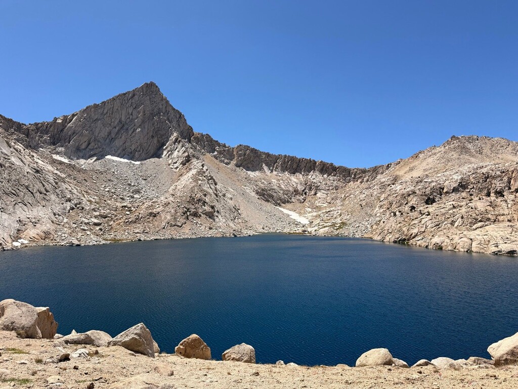
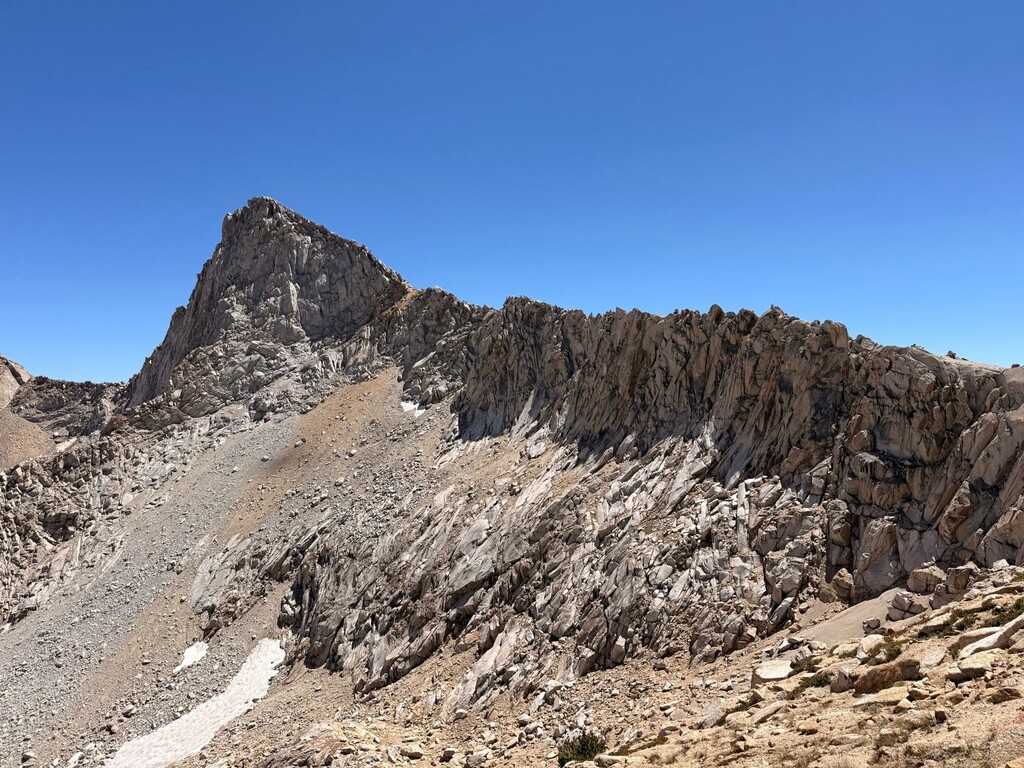
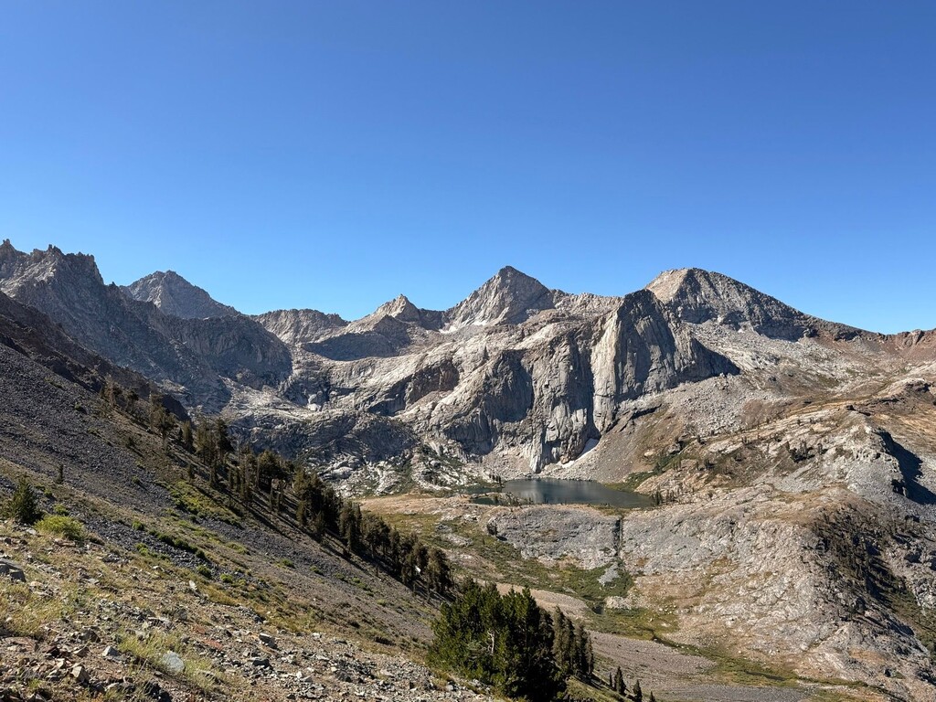
Then began the 6-mile and 5k+ ft climb up to Black Rock Pass. The trail and views here were great and though the climb is long and sustained, it was nice to get into a groove. From the top of Black Rock Pass you can see the Little Five Lakes, Kaweah Peaks, the Great Western Divide and many others to the East and Sawtooth, North Sawtooth Peak, Empire Mountain, and Spring Lake to the West. The trail is pretty straight forward heading down from the pass outside of a few junctions to be aware of near the lakes. I supermanned pretty hard on the trail around mile 16 and somehow got pretty lucky with only a few scratches and bruises.
Once you turn onto the Lost Canyon Trail, it's an ever-so-slightly uphill jaunt before the final big climb up to the pass. It's so beautiful back here, this was one of my favorite parts of the route!
After passing Columbine Lake, the trail is a bit tricky to keep for a couple of miles. Slow down and look for the cairns! The descent down Sawtooth Pass is a fun slide down a sandbox of pulverized granite (the main reason why it's better to do this route clockwise) to Monarch Lakes and then fun, runnable switchbacks all the way back to the parking lot.
I did this route unsupported and brought all my own fuel and carried two flasks of water with filters since there were plenty of streams and lakes to fill up at along the way.
Incredible weather, beautiful route with so much terrain diversity, and a great adventure into a part of SEKI that doesn't see as much traffic. This route has a lot of room to go faster and hope to see more women get out there!