
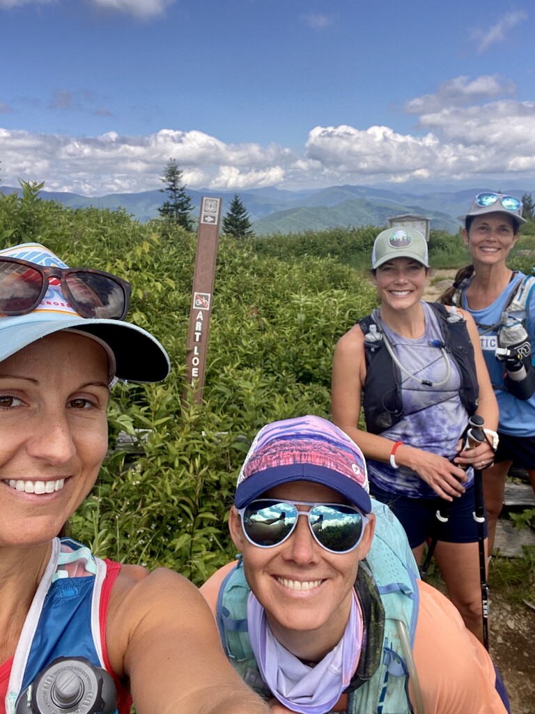
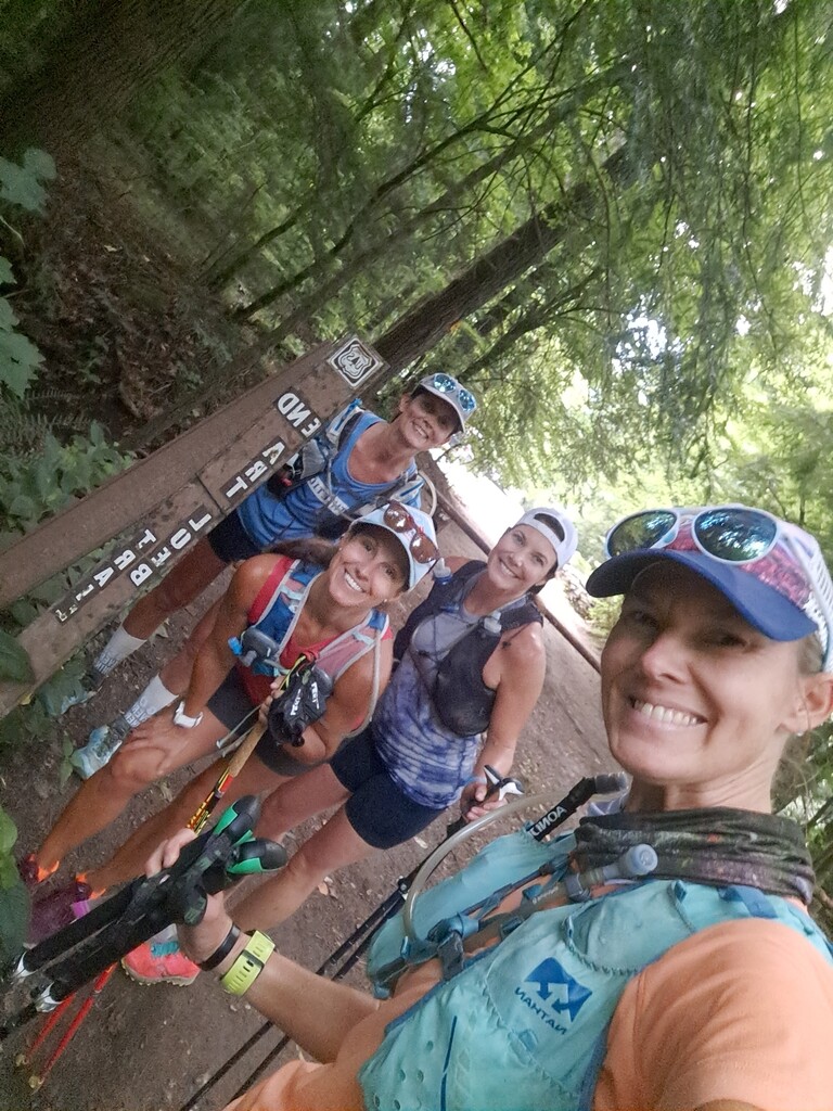

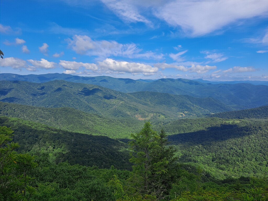
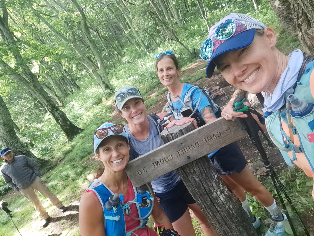
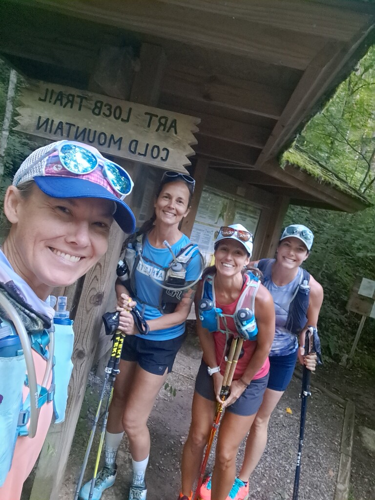

We started the day with a drive and drop off (from our friend Noelani) to Camp Daniel Boone. We began the trail with full packs at 8:05am and started with a giant climb towards Cold Mountain. The day was perfectly cool and there were lots of hikers and backpakers enjoying the day as well. The trail was super lush and green tunnel ish for the first 6 miles or so. Then we started to get a few views which were spectacular. We relied heavily on Gaia and Trailforks in Shining Rock area but stayed on course.
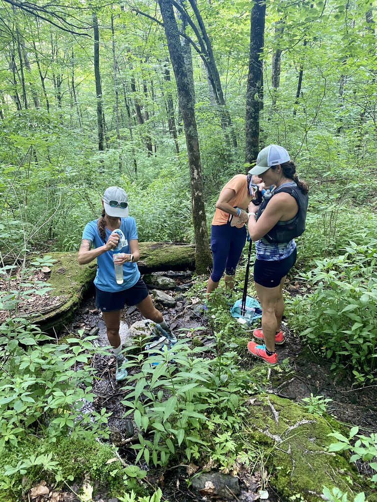
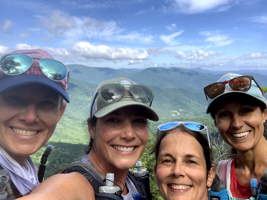
Traffic got heavy and the air got thin around Tennent Mountain, the Ridgeline and summit gave us panoramic views of the gorgeous day. We slowed way down navigating tons of slow hikers at Black Balsam Knob area and decided to fill up water at Deep Gap, so kept moving. We got to Deep Gap around 6 hours in and were greeted with barely a puddle of stream water...yikes. Our water was running low so we filled up a tiny bit, ate our avocado and hummus wraps we had made that morning and continued on.
When we arrived at Butter Gap Shelter a nice older backpacker pointed us to a little stream which was piped for ease, thank goodness because Amy, Carrie and I were nearing empty. Carrie had rolled her ankle about an hour earlier and was able to walk it off but when we stopped for water she shared with us that it was really hurting. Right before we set back out on the trail Jen stopped to give her Ibuprofen and as she was doing so a huge tree fell onto the trail in the direction we were heading about 50 ft ahead! Guess it wasn't our day to die...
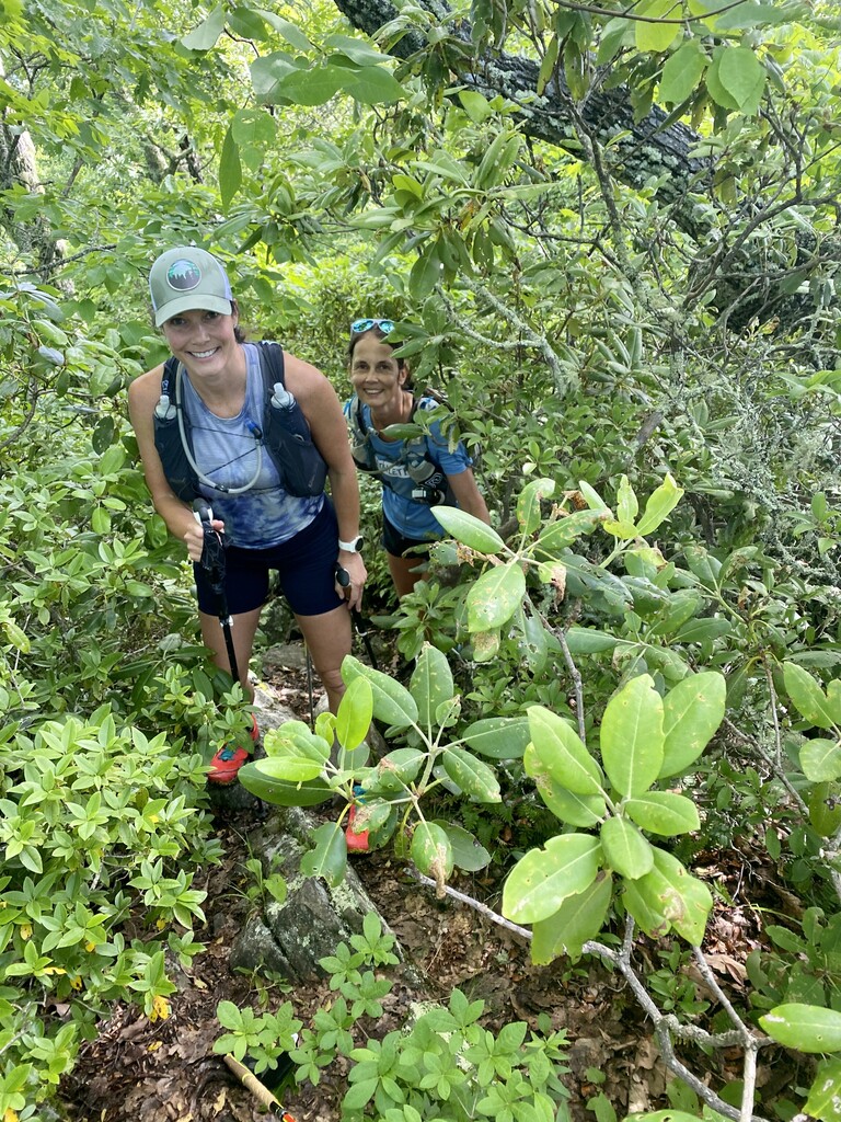
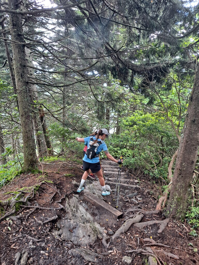
The terrain the 2nd half became more runnable but there were a fair amount of unexpectedly long climbs. Thankfully we all used poles which helped preserve our flatlands legs. The paper map and online sources we consulted listed the elevation gain as 6500 ft...we ended up with 7800 according to Garmin. The last 10 miles we pressed on, hiking the ups and slowly running the downs and flats. I took a tumble around mile 25 and nearly face planted into a tree but luckily braced myself with my arm and was able to fall on the leaf littered path. We were rewarded with a very runnable gravel path the last .7 miles , a little bruised and battered we ran to the end.
We didn't expect to nearly take 12 hours, which unfortunately led to Amy,, Carrie and Jen's watches all dying, thankfully my older Garmin stayed strong! And thankfully we didn't need our headlamps! It was a brutal technical course, but spirits remained high mostly, and the weather was beyond perfect for the summer in Appalachia!