
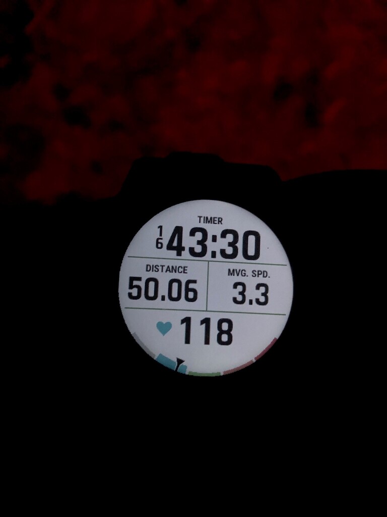

The weekend of July 31-August 1, 2021 I finally put two of my hiking goals to bed when I completed another solo thru hike of Rhode Island’s North-South Trail. 1. Hike the entire 78 mile trail (plus approach from CT) in 2 days or fewer. 2. Hike a 50-mile day. My third goal was that if I could hike it in less than 2 days, I wanted to get in under 40 hours, including sleep.
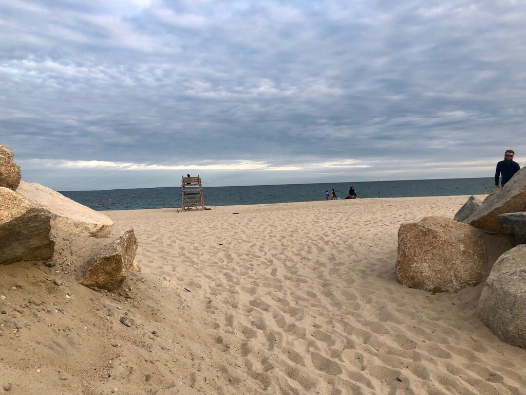
I have previously thru hiked the NST in 3 days. In 2019, I tried for 2 days but was derailed by an unexpected trail closure near the halfway point. In 2020, well….2020. This year, I finally did it. I have also wanted for years to hike a 50-mile day and I finally got that done too on Day 1 of this thru hike. I’m not ashamed to admit I cried when my feet touched the ocean. Not raw feet meet salt water tears, but joy and fulfillment tears.
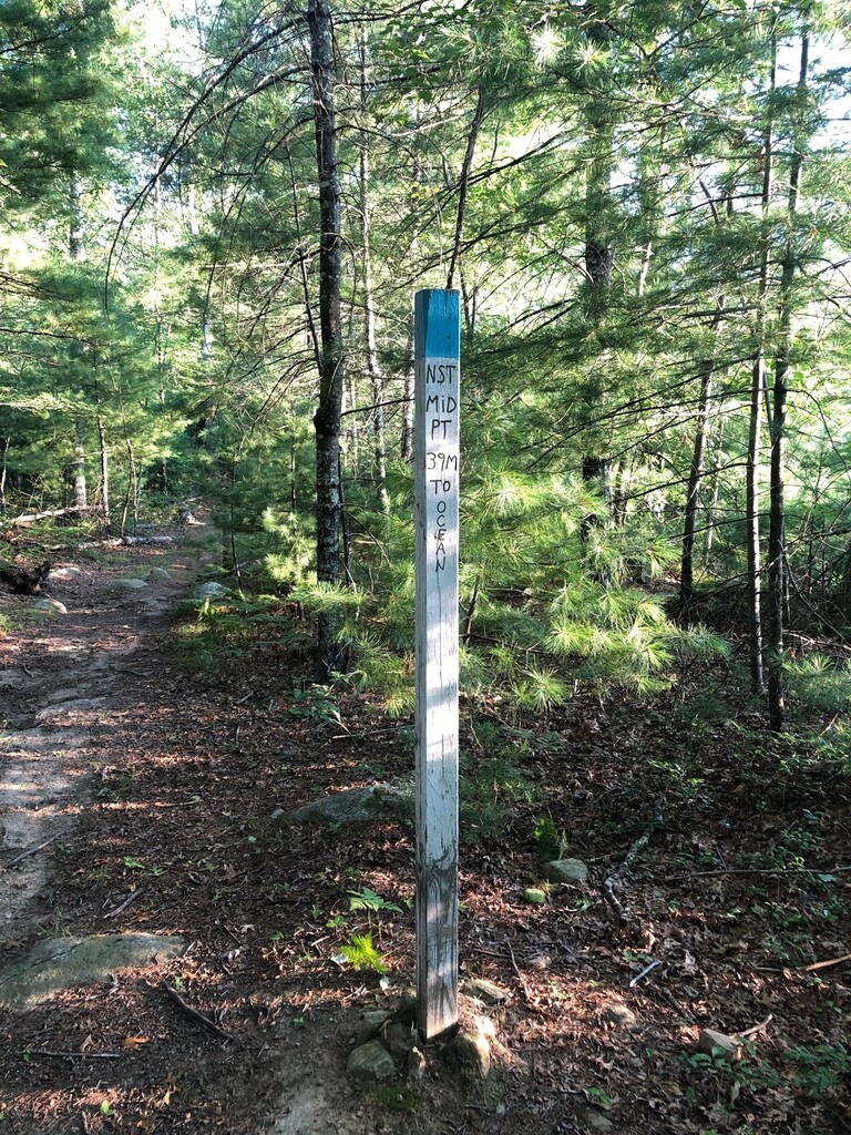
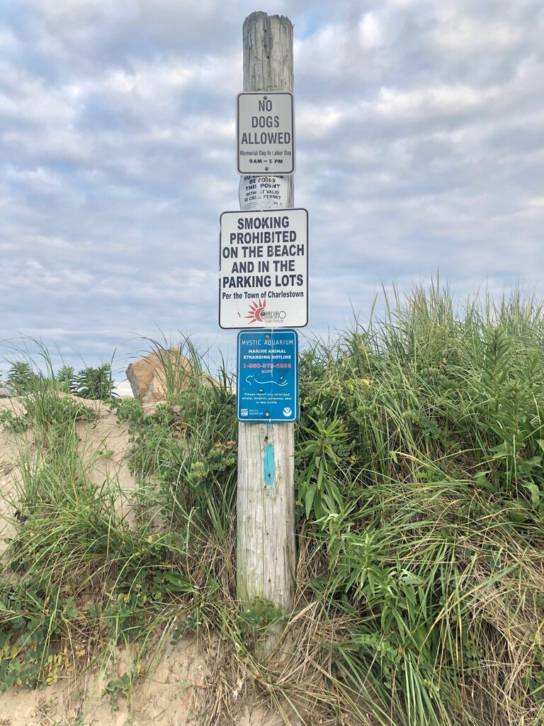
Attached are some of the very few photos I took while I walked from the Thompson Train Wreck lot on the Air Line Trail in East Thompson, CT up to the MA/RI border and then headed south to the Atlantic on the NST. I am so grateful for this incredibly special experience. My husband dropped me off at the lot and picked me up at the beach but I had no support at all and walked entirely alone. I carried all my own food and gear, stealth camped and filtered water along the way. You can see my pack in one of the photos. Day 2 was a lot harder for me because I had some bad blisters on the soles of my feet and the 29ish miles that day took much longer than I would have hoped.
I started my journey in East Thompson, CT on 7/31/21 at 5:06am, got to the NST northern terminus on the MA/RI border at about 5:44am, finished hiking on Day 1 at about 9:50pm, slept, got back on trail at 6:27am the next day and then finished at 7:02pm on 8/1/21. These ties come from the timestamps on my photos, but the gpx data is attached, along with my Strava. This time includes the approach from Thompson to the northern terminus, but there are several ways to get to the terminus.