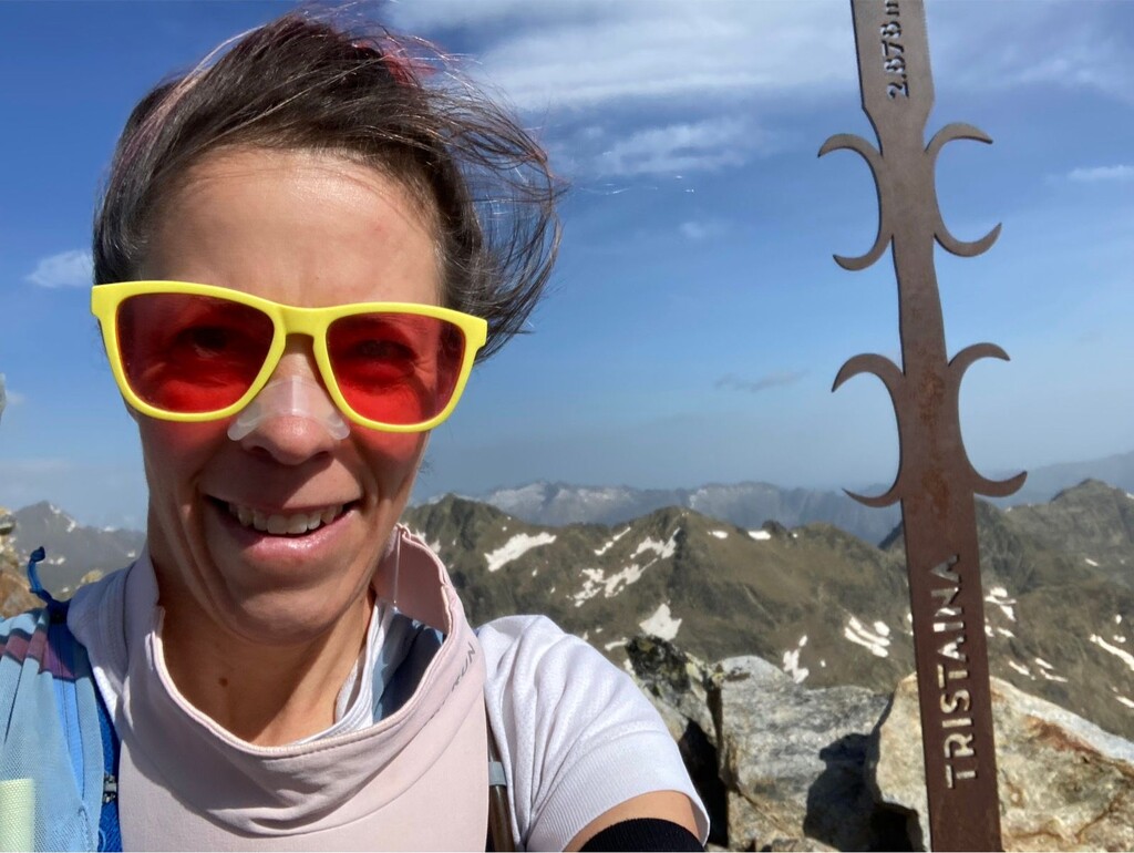
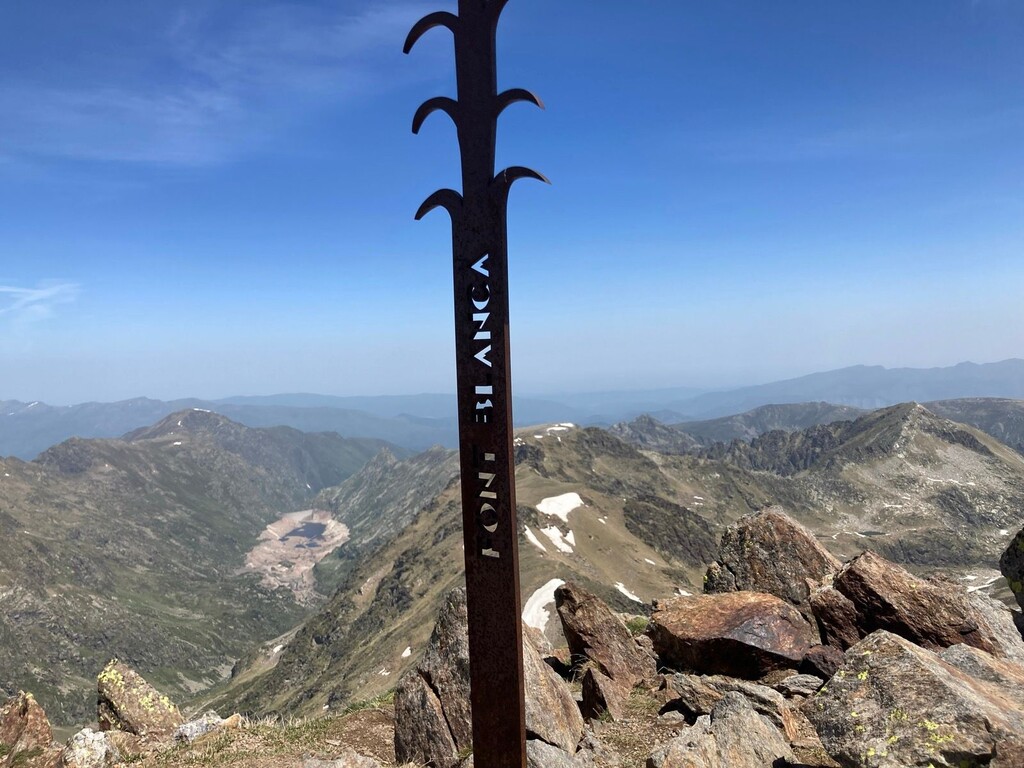
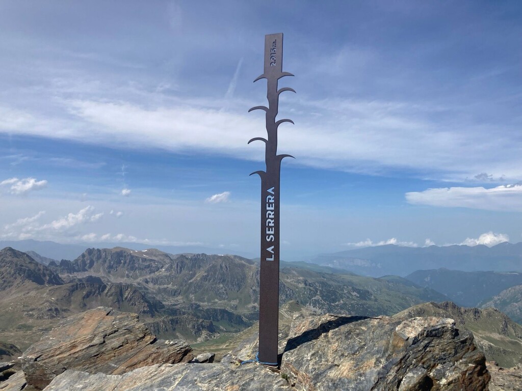
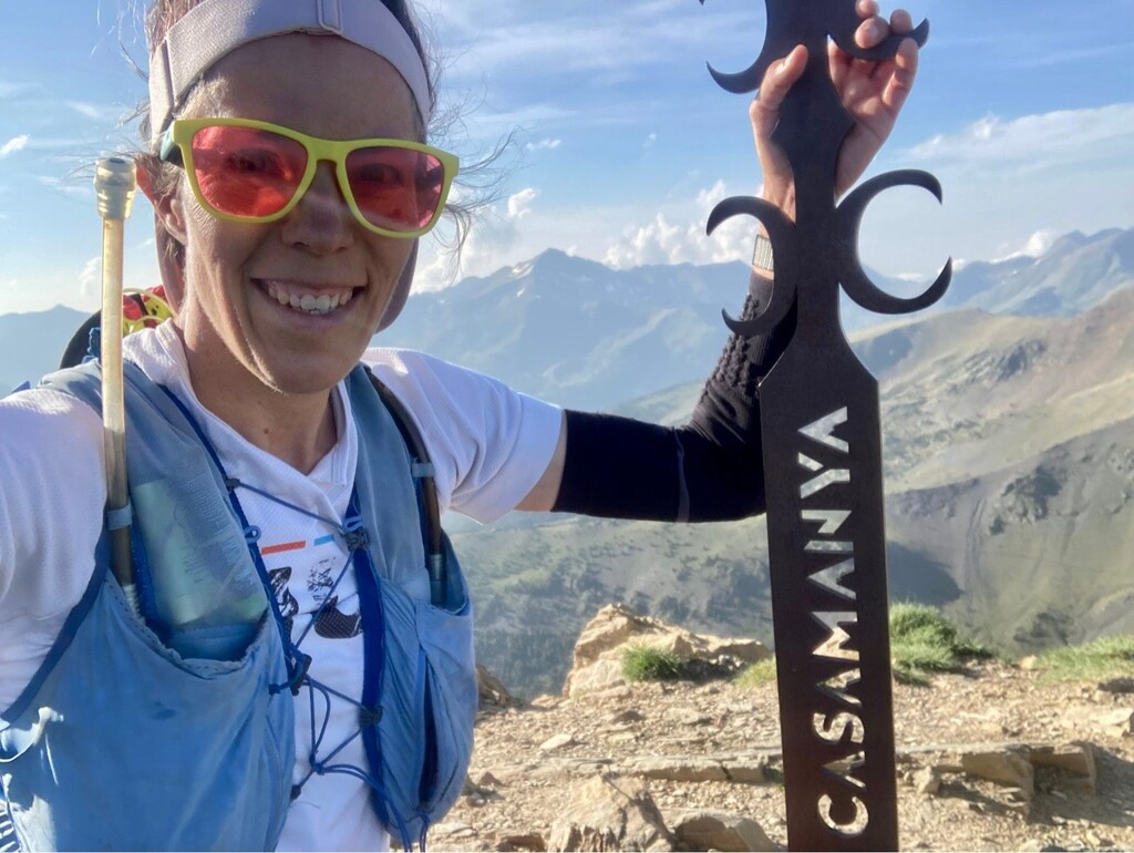
Quite an experience in the Ordino area of Andorra, visiting 6 peaks bearing the Estripagec symbol.
https://www.visitordino.com/en/what-to-do/@@activity_view/el-repte-dels…
Profile/terrain:
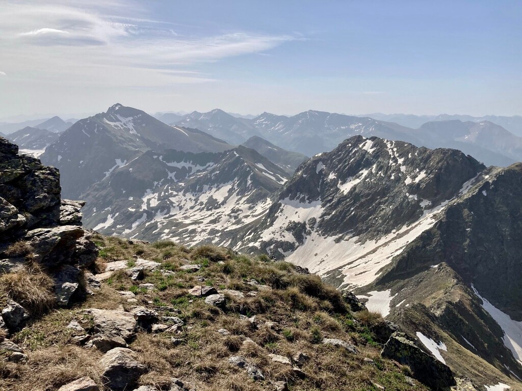
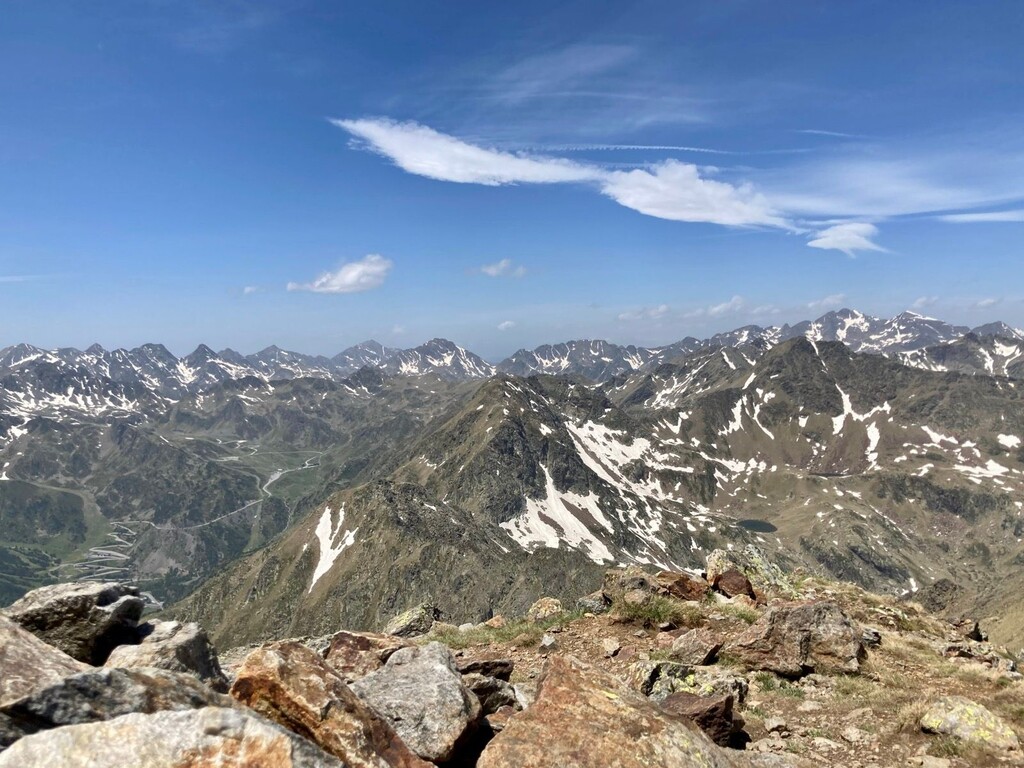
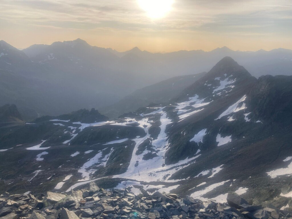
Andorra in general has technical ascents/descents and not a lot of flats. This route was mostly a hike, with some scrambling sections and one longer runnable area between the first 3 and last 3 peaks.
For those not acclimated to altitude, please note you are starting at 2200m/7400ft and spending a lot of time near the peaks at 2700m/9000ft. This may hamper breathing and performance along the way.
If you are uncomfortable with the idea of narrow and sometimes unmarked paths, spending significant amounts of time on exposed ridgelines between peaks, or using both hands to scramble around rocks and brace yourself as you move -- this route might not be for you.
Advice on timing:
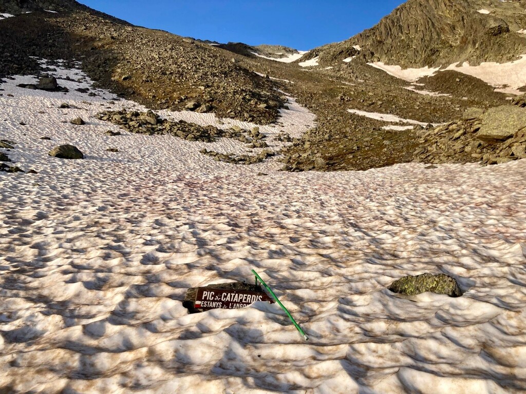
Parts of the route retain snow even in summer. You will be safest to attempt it in Jul/Aug/Sep as key portions of the route will otherwise be covered in it.
In some cases you can take a longer path around it (and some not!), but be aware that part of the danger with this route isn't directly the snow or tough climbing, but rather that you could be adding multiple hours to your total journey if the conditions aren't ideal.
Equally important - during the least snowy period it will also be very hot. You can expect 20C/68F by 10am, and may experience up to 35C/95F. Take lots of sunscreen and anti-chafe cream :)
Routing/planning:
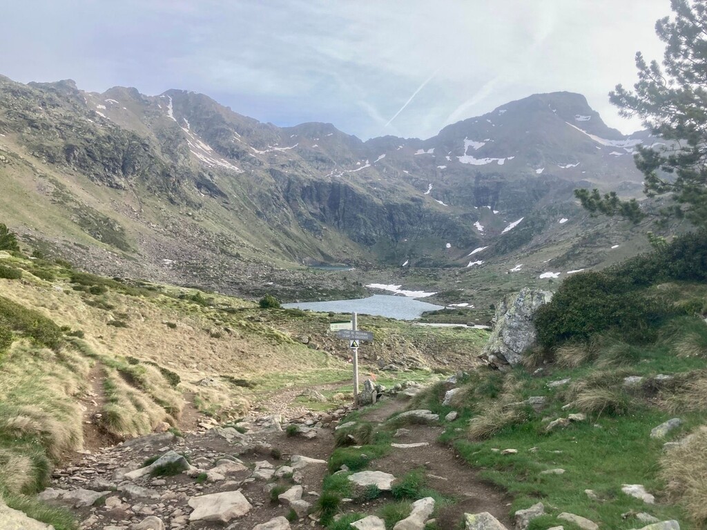
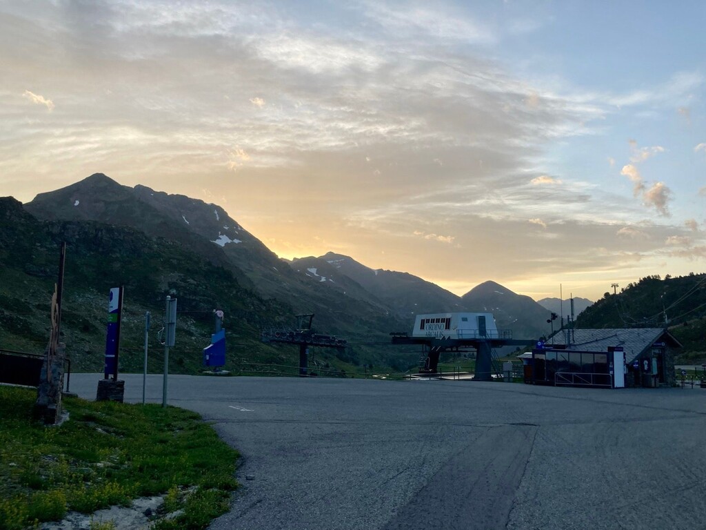
The route begins in the ski area of Ordino-Arcalis, specifically in front of the Restaurant la Borda de la Coma. There is parking available right here and more spaces within a 5-minute walk. Many people start day hikes to the Tristaina area from here, and you will probably see several camper vans as well. There is no public transit to this area outside of ski season, though taxis offer a flat rate of 31 Euros to come here.
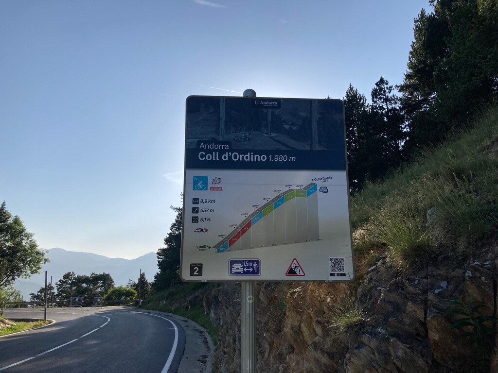
The route ends at the foot of the last peak, also an iconic cycling location - the Coll d'Ordino, where there is a small parking lot. Once again there isn't regular public transit; taxi flat rates are 28 Euros from here.
(I ran 5 extra kms back to Ordino after finishing the route, then called a taxi to take me back to my car at Arcalis.)
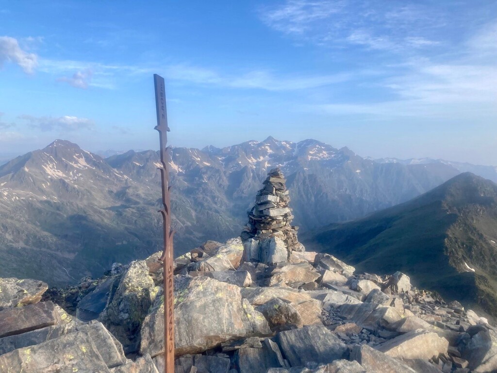
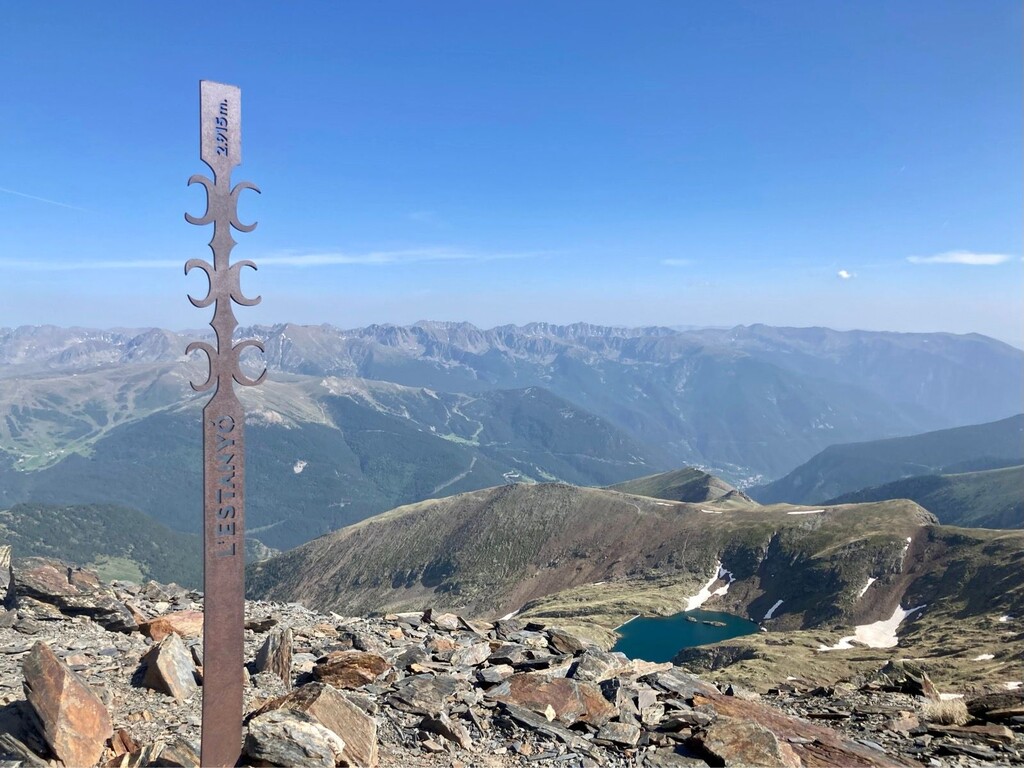
In many places the route will be well-marked, with flags and dots showing the way, though over the years some have faded, and some may be covered in snow at a given moment. In the Tristaina area (peak #2) there are multiple alternate paths, and on the ridgelines to Estanyó (#5) and Casamanya (#6), you might struggle at times to follow the route as it switches between your left and your right.
Provisions:
In addition to your preferred running clothing/supplies/calories for an entire day in the mountains, packing a water filter will be very helpful as there are many mountain streams to draw from when you need a refill.
Though there are one or two emergency shelter cabins, the only true supply point en-route is the Refugi Borda de Sorteny, located just beyond the halfway point of your journey. There are publicly available bathrooms and sinks downstairs to refill your water. Should you feel inclined, you can also purchase a selection of snacks/meals/beverages and relax indoors or on their lovely outdoor patio.
My experience on the day:
Just wowwwwww.
I had run half of the route 4 days earlier in perfect conditions, and was so glad to do so to understand a few of the potential challenges. Unfortunately it wouldn't be so perfect when it came time to do the full FKT :)
On the day it was forecasted to be very windy - and my god, it was - like ripping my face off at the first 4 peaks. I had to remove my hat and sunglasses not to lose them, and wish i brought goggles. 75kph/45mph feels like a big deal when you're on a tiny ridgeline!
Apart from being challenging, the route was straightforward enough for peaks 13456, but #2 Tristaina was brutal. It had the worst wind on the thin path, the worst path markings and actual availability of a route down (really? someone thought a rock face and scree counted as a trail?), and by far the most snow to re-route around.
Also, it features multiple alternative marked paths on either side of the lakes (take the easier one on the right as you begin, learn from my time-wasting).
Add on top of this my Garmin's GPS freakout (think apocalyptic spinning compass), and there was a lot of wasted time and extra risk on ascent and descent.
Future improvements:
Out of the overall time (13h15min), between snow-related slowdowns and navigation issues, i could immediately have saved ~75mins (=12h). I was purposely keeping an easy-to-moderate effort the whole day; there was another hour of opportunity here for me if i had pushed, i.e. finish closer to 11h.
I could see a better runner, familiar with the terrain, generate an Unsupported female FKT time more in the range of 9h45-9h30.. Ari Fenés are you up for it ;-)
My supplies and FKT type:
I completed the FKT solo and Unsupported, carrying 1.75L of liquids (refilled +1.5L), 2 gels, 6 Decathlon gummies, and 6 Pim's cookies. The cookies ended up a post-run treat, and i had 3 gummies left over as well. I tend not to eat enough on unsupported runs so your needs may be much more than the above.
On the day, I opted not to carry microspikes - they wouldn't actually have helped much with the snow challenges. My bag was already full enough with the food, prefilled waters, filter bottle, poles, and extra clothing (waterproof jacket, longsleeve, winter hat, gloves, Saharan cap).