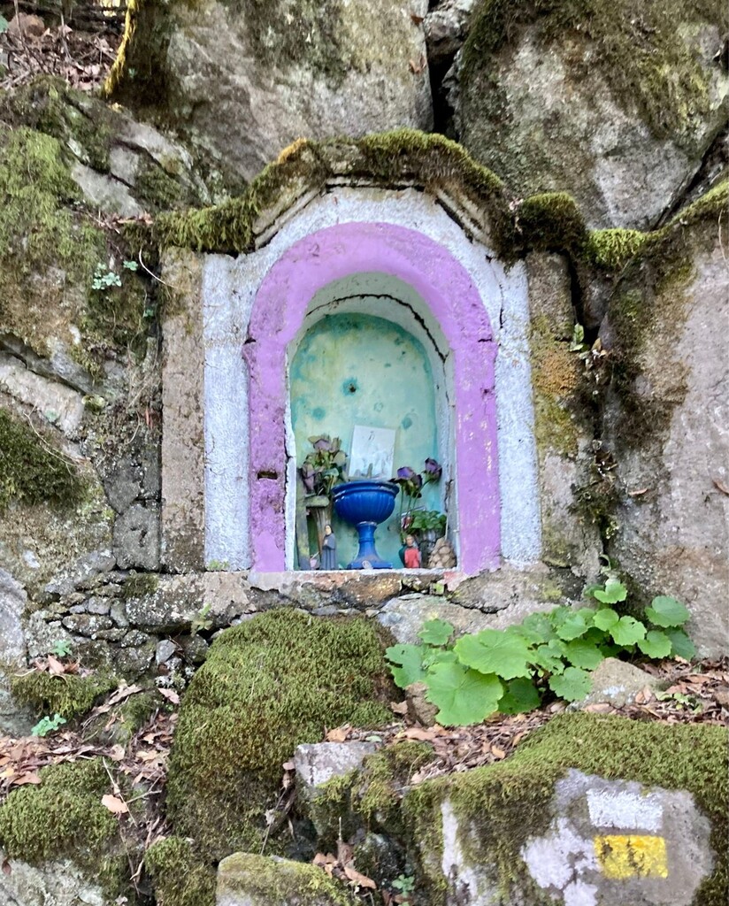
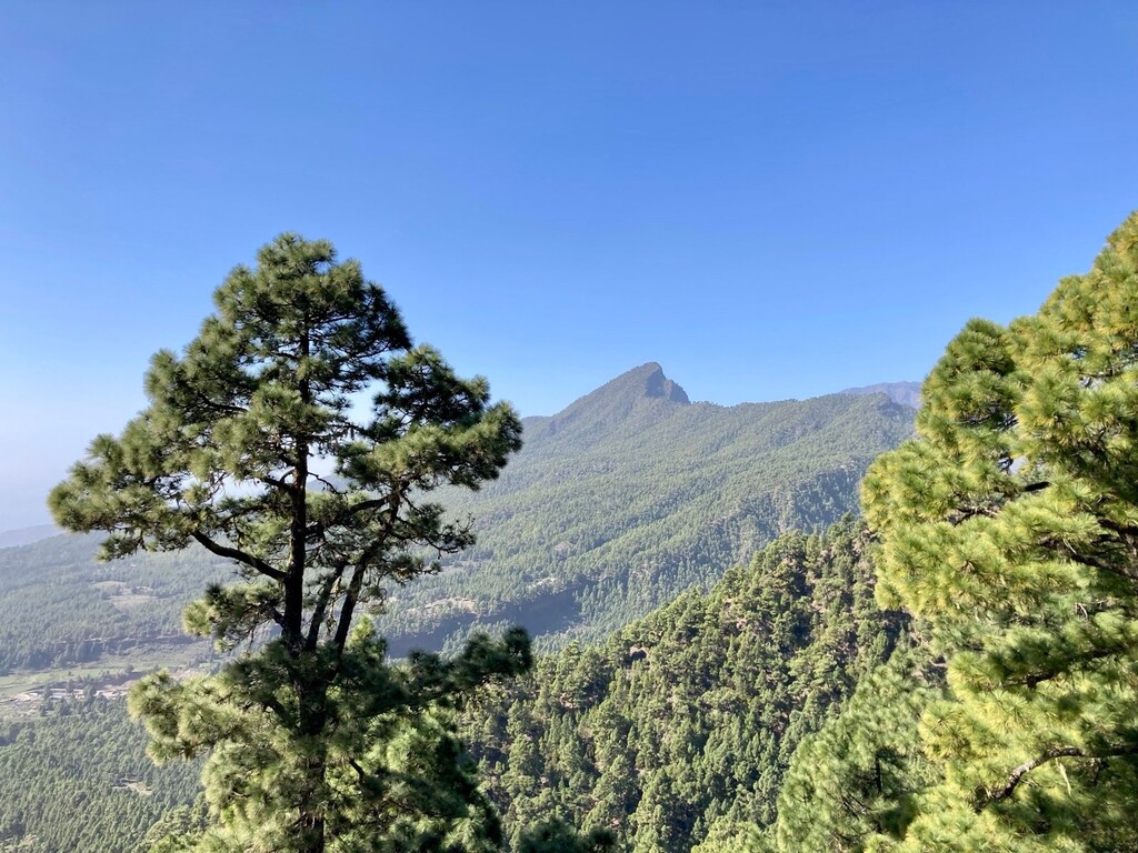
After an initial climb from the heart of Santa Cruz through a number of small neighborhoods, you will take the Botazo route up to Reventón (one of the classic climbs here, from multiple directions). From there, you make a rocky descent for 2km, and then a faster-paced dirt+pine needle descent down to the Virgen del Pino hermitage. You will then stay mostly on asphalt for the long downhill to the finish.
> The FKT route is easy to follow, with signposts at all crossings. I'm not the best at paying attention to the route and only needed to backtrack once.
> The long climb to Reventón has a fair amount of tree cover, whereas the initial climb out of the city and ~12km final downhill to the finish are completely exposed. Be aware of this if you choose to attempt the route in warm temperatures.
> Trail shoes are the footwear of choice for this route. It's not very technical, apart from the initial minutes descending from Reventón. In rainy weather, the uphill would have some slippery bits, and the downhills would need to be taken slower.
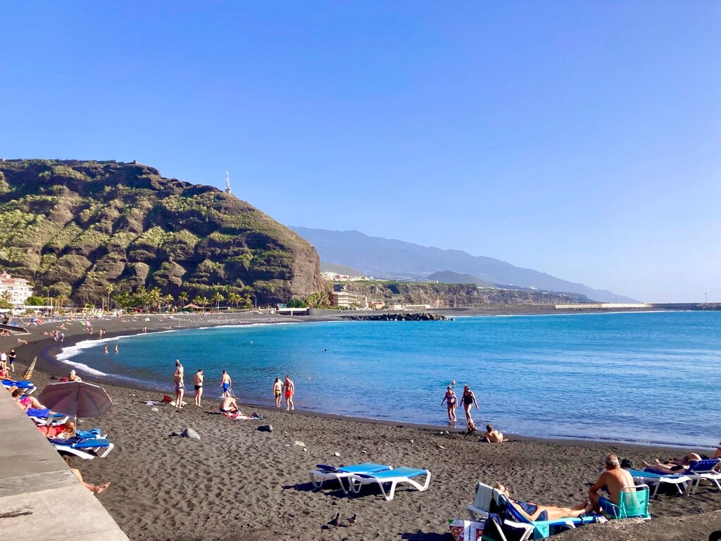
>> Note :: if you're not on La Palma for long, i wouldn't actually recommend this route. Instead, i'd prioritize 3-4 hours around the main Caldera/Roque de Muchachos/Pico Nieve, as well as the Cumbre Vieja trails... plus the rugged north coast if you're keen on a much harder route. That said -- the finish in Puerto de Tazacorte is lovely.
Conditions specific to today:
I completed the route during the silliest part of the day (~12:30-16:00), so the temperature was a consistently hot 24C and sunny. Winds were light.
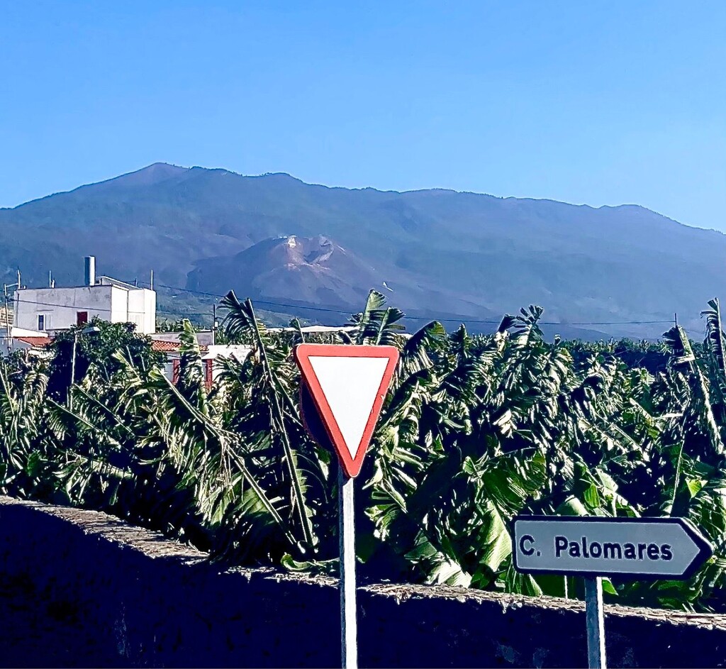
Route detours -- construction works are ongoing in the west part of the island on the LP2 and LP23 highways, maybe more. Approx 1km from the finish, the construction crew was actively steering all foot traffic to a short detour (off the asphalt and onto a rocky side path), which added a couple of extra minutes.
My personal condition -- not great. Stomach has been hurting all week, so there was really no chance of kicking the speed into high gear on the very very runnable 12km downhill to the finish :(
Provisions (i completed the route Unsupported):
Where to resupply -- Please pack accordingly. Though there are two public water taps at/near Virgen del Pino hermitage - exactly where you want/need them before the exposed long asphalt downhill to the finish - they were not operational today. Ouch! The next public tap is easy to miss but was such a relief, near a route marker indicating 4,7km remaining to the finish at Puerto de Tazacorte.
Should you wish to do the route Self-Supported, you could purchase provisions at one of several cafes in the last 10km of the route.
Additionally, the finish at Puerto de Tazacorte has all the recovery/cleanup facilities you'd need.
My stash -- Brought 2x500ml fluids (i have trouble carrying much on my back else i'd have liked another), finishing them in El Paso, several km prior to the operational water fountain mentioned above. Solid food supply was 1 Decathlon gummy and 1 Gu gel.