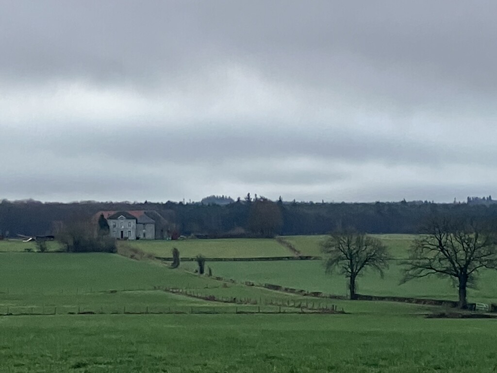
The Haute Fagnes, or “High Fens” is a natural reserve in eastern Belgium. It is an expansive marsh area known for its magnificent beauty, as well as for attracting dense fog on gloomy days. The centre of the reserve is marked by the Signal de Botrange, the highest point on Belgian territory, measuring a total of 694 meters above sea level.
I just love to wander around in this area.
The roundtrip started and ended at the landmark (Holland - Germany - Belgium) to go all the way up to the highest point of Belgium.
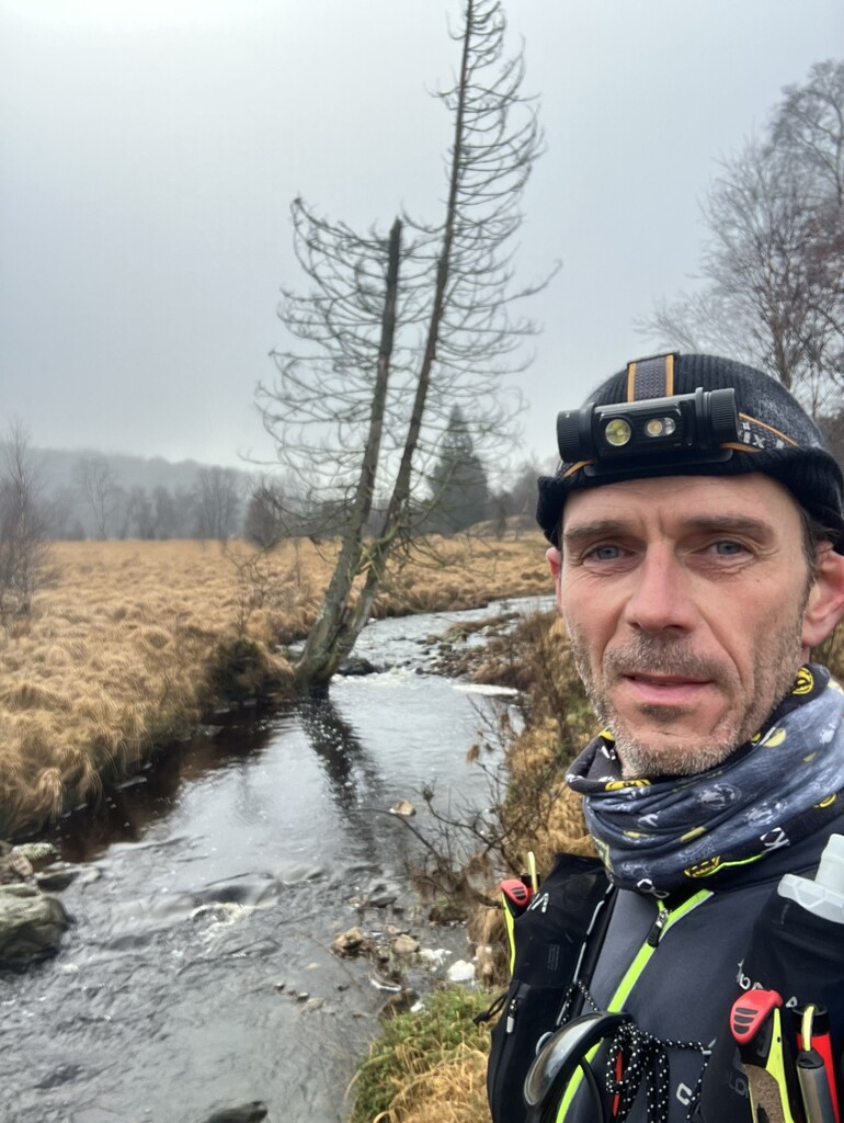
I did the trail unsupported. The supplies were carried in my backpack from start to finish. I also chose to do it alone.
How nice it is to be in the woods all by yourself for 12 hours!
(Afterwards I found out that the unsupported FKT wasn't listed yet. So, why not register it? :)