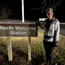
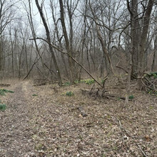
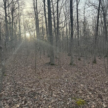
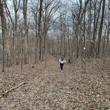
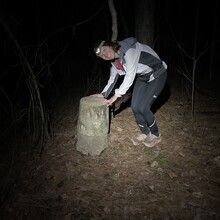
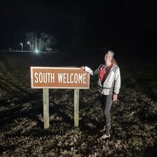
(North/South Trail, north to south direction, tornado damage reroute). I started on the N/S trail heading from the North Welcome Center and utilizing the tornado damage reroute that still exists (some parts of the trail have been opened up over the last couple of years but it is still not the standard trail). I started my watch at North Welcome but did go on and run 0.35 to where the N/S branches off with the Canal Loop, since a map of N/S shows that it starts there, then went back to the bicycle path to continue my direction south. There was a southerly wind the entire day, which I later realized is why my mouth was so incredibly dry all day due to me running into the wind at all times. Overall the northern part was fairly uneventful; it's a pretty section as you run by the water but does have more elevation than the south and is a bit harder for crew to find access points. I had been doing well with fueling, eating fairly frequently and drinking lots. The loneliest part for me is always Sugar Bay to Golden Pond. It's about 12 miles where my crew couldn't reach me but I went into it knowing it'd be lonely. It has some good climbs to it and some rocky portions, so I was really glad to see them near Golden Pond for refueling (and to see other people! I only saw one fisherman out on the water). I was looking forward to the southern portion since I ran that a bit more recently and knew the sections of seeing my crew would be shorter (every 3-5 miles now). My stomach was not feeling great and I was drinking so much water from my mouth being dry (I felt like I was consuming as much as I would on a 90 degree day!). I passed a couple very nice people on horseback but they were going in the opposite direction which meant I was running on the trail after the horses had just been on it. This made the trail extra sloppy in parts but manageable...my pace wasn't fantastic but I knew I just had to get through that section. My least favorite section of the trail, due to downed trees directly on the trail, would come in the dark unfortunately. I ran this part just a couple of weeks ago so it was fresh in my mind with how to navigate around. My coach offered to run this section with me just to ensure I got safely around everything in the dark...I was so appreciative! My Garmin died during this part so I immediately switched over to tracking on Strava to finish out the run. The last bit of tornado damage reroute puts you out on 2.5miles of forest service road then about 4.5 miles on the road (the Trace). I was looking forward to these two parts, just to mix things up a bit, but I think I was just ready to be done because they weren't as fun as I had thought they'd be. Ha! I finished at the South Welcome center and was so glad to be done! It was a great day and I enjoyed my time on the trail!
Athletes
Route variation
2024 tornado reroute
Multi-sport
No
Para athlete
No
Gender category
Female
Style
Supported
Start date
Finish date
Total time
15h
10m
6s
GPS track(s)
Evening_Run (1)_1.gpx483.77 KB
Report


Comments
Great job Laura!