


We’re a group of friends based out of the Twin Cities who frequently run the River Bottoms trails along the Minnesota River. It’s been a dream of ours to run this linkup from end to end in one shot, as we’ve always been fascinated by just how far you can go along this river through the metro on pedestrian paths alone.
This summer, another amazing endurance athlete friend of ours, Tracy, was diagnosed with lymphoma. We dedicated this FKT attempt to her, using her treatment mantra #trainingforhealing and raising over $2500 to support her treatment in the process.
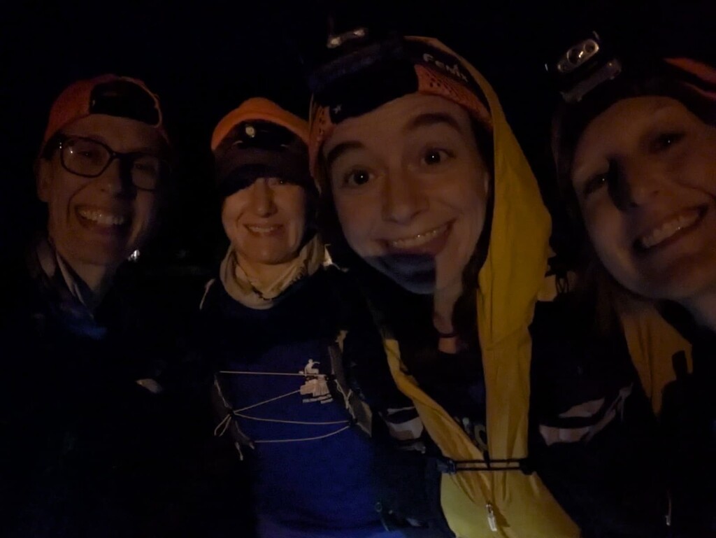
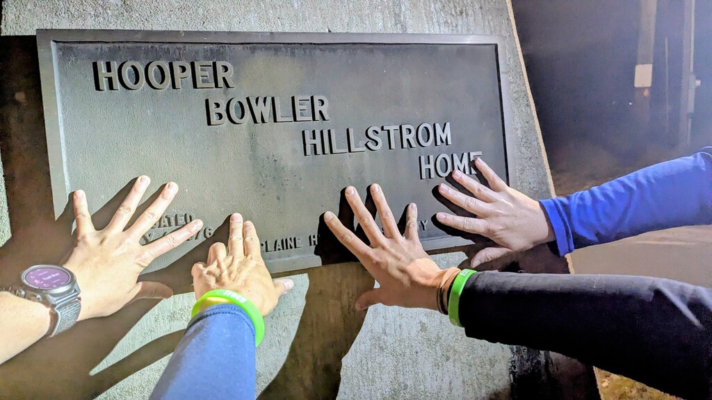
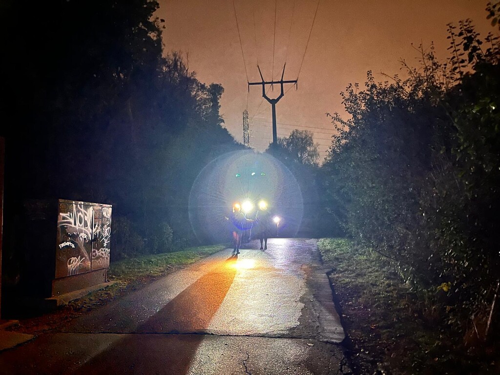
We started at 4am, having scheduled a Lyft driver to pick us up in the Cities at 3:15 and drop us off in the parking lot next to the Hooper Bowler Hillstrom house in Belle Plaine.
We chose to run supported, with friends meeting us in parking lots every 5-10 miles to provide us with food, water, treats, and encouragement. We also made a pit stop at the Burger King in Shakopee to eat lunch with Tracy, since the Burger King is only a tenth of a mile walk off the route 😊.
An unsupported or self-supported FKT would be very doable. Since the route follows the river, there’s plenty of opportunities to stop and filter water as needed. Although the trail goes through many parks, there was only one water fountain we saw along the route, and that was inside The Landing Park Office just east of downtown Shakopee, about 25-30 miles through.
There are many areas (especially through the Minnesota Valley Wildlife Refuge) where the trails diverge and converge frequently, and it really doesn’t matter for this route which one you take. In these cases, we chose to always take the path that would keep us closest to the river, to stick to the original intent of this route.
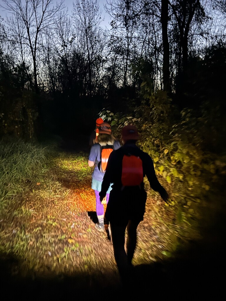
The first 20 miles of this route are much less traveled and less well maintained than the final 30. Some sections along the first 20 miles were a bit weedy and overgrown, but still overall very fun to navigate. We were grateful to have fresh legs through that section (it was also our slowest section with the most walking due to the weedy/tall grass areas) and not have to end on that stretch with tired legs!
When scouting the trail beforehand, we found two areas where the trail was washed out. One was just 1.5 miles north of Scott County Road 9, where the trail travels right along the river bank and it looked like flooding/erosion washed out the river bank along with part of the trail. Due to thick vegetation, we decided not to try to bush wack through to where the trail picks back up, but instead took the reroute/alternate around some very pleasant backcountry roads at sunrise!
The other trail washout spot was just outside of downtown Shakopee, .8 miles east of the Shakopee Bridge. Here the route follows a paved bike path, and it looks like there was once a bridge over a creek that washed out. However, we could safely climb down the ravine, cross the creek, and climb back up to the bike path on the other side, so that’s what we did.
Highlights of this trail for us included passing through The Landing’s collection of historic buildings, taking in all the fall colors, running past Valley Fair while waving to the people on the roller coasters and being close enough to them that they could see us and have some of them wave back, and spotting lots of wildlife including deer, eagles, and the largest flock of (we think) pelicans we’ve ever seen! We joked that maybe we should add a requirement to stop and ride a rollercoaster when passing Valley Fair for this FKT 😉.
Oh and one final highlight, which is a must know for anyone else attempting this FKT — is the River Bottoms raft! There is a spot just 1.8 miles west of I-35W where the trail crosses a creek, and you have to take a raft if you want a dry crossing. This raft, which is operated by a rope and pulley system, is another really fun feature of this trail, but poses a logistical consideration for anyone attempting the route. First of all, the raft is maintained by a local biking club and they install the raft every spring and take the raft out every fall. We called the Bloomington parks ahead of time to confirm the raft would still be there on the day of our FKT, since the raft usually gets taken out in late Oct/early Nov. Also, even though you can get an entire group of people on the raft and easily float across when the water was up, it had been particularly dry this season so the creek was low when we crossed. We first tried to cross with all four of us on board at once, but that was too much weight and the raft quickly got stuck in the mud. So after a lot of trouble shooting and praying to the trail gods that we’d be able to keep our feet dry, we figured out the water was *just* high enough to cross one or two at a time, and only if we stood right in the center of the raft.
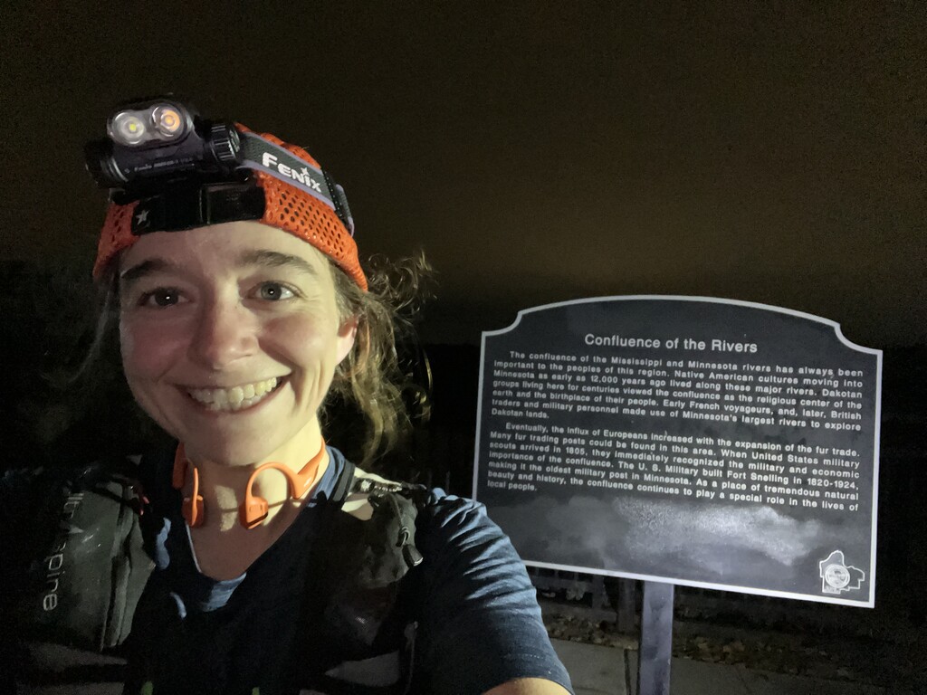
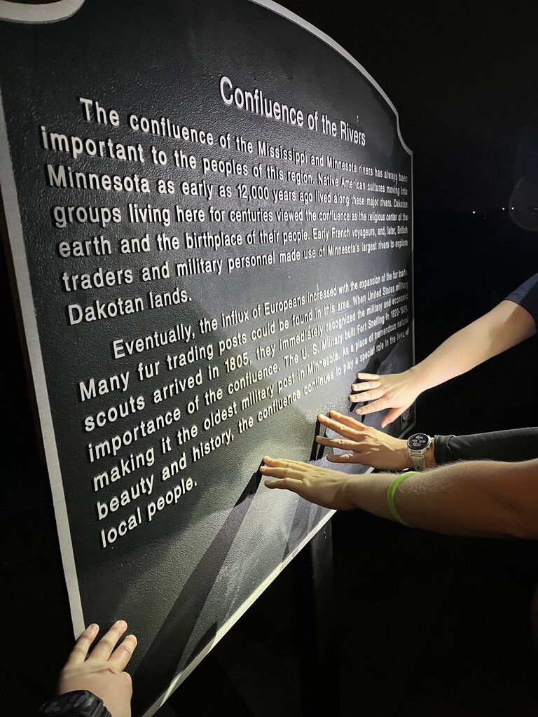
Another thing to note is the ending point at the Confluence of the Minnesota and Mississippi rivers is .8 miles east of the nearest parking/trailhead (Lilydale trailhead at 1292 Lilydale Rd, St Paul, MN 55118). So you’ll have to walk or run another .8 miles to your ride after finishing… because why not? Anyway, while we stopped to take a picture at the sign that marks the Confluence, we forgot to stop our watch until we got to the trailhead. Since we don’t have any way to show the exact time we got to the confluence, we’re including the time it took us to get to the trailhead before stopping our watch in our FKT time.
All in all, the MN River Linkup is a great option for anyone seeking a day-long trail adventure right here in the metro!