I had been thinking about doing a local FKT for a while, especially since there are very few women who had registered a local FKT. I opted for the Greensands Ridge Walk because it l looked like a nice route and it conveniently finished in a neighbouring village, which meant I could get back home before collecting the kids at 6pm. On Thursday 12 March 2026, I left the house around 7:45am and cycled to Sandy station. From there, I took a train into London, and then another train out of London, to Leighton Buzzard. While on the train, I had a chance to sort out my bag, making sure my spare layers, nutrition and water were all in the right place. I carried two litre of liquids, which I hoped would be enough to get me to Gamlingay.
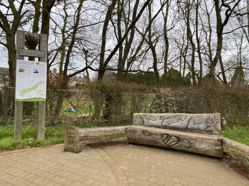
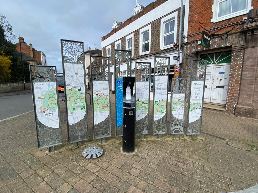
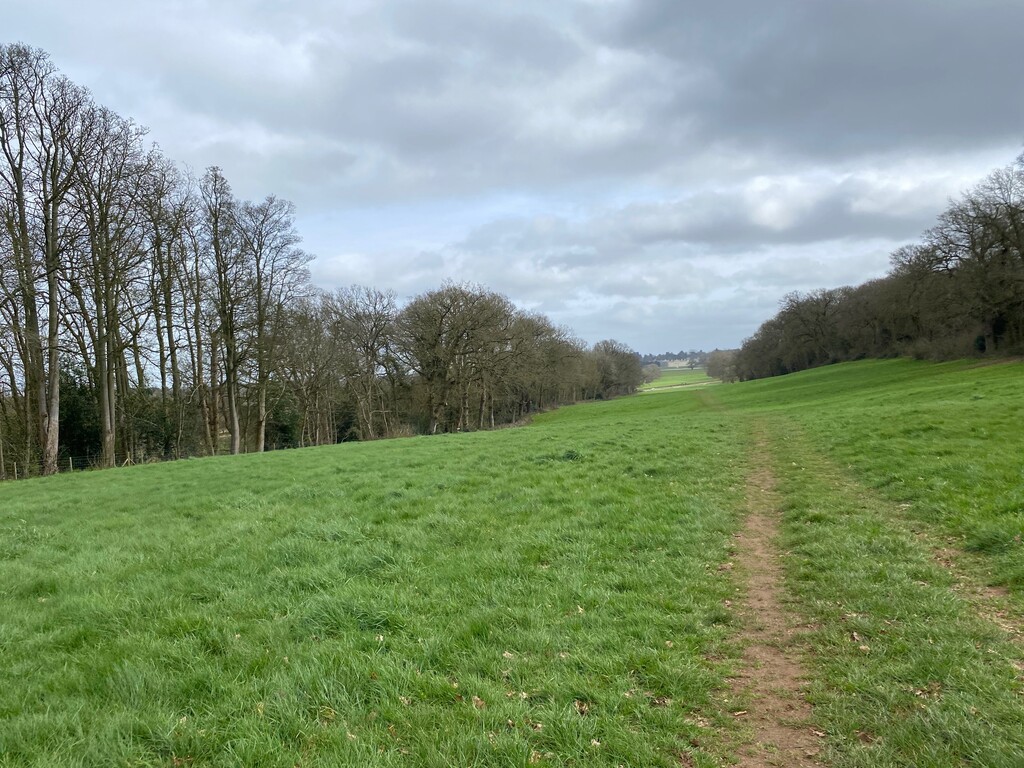
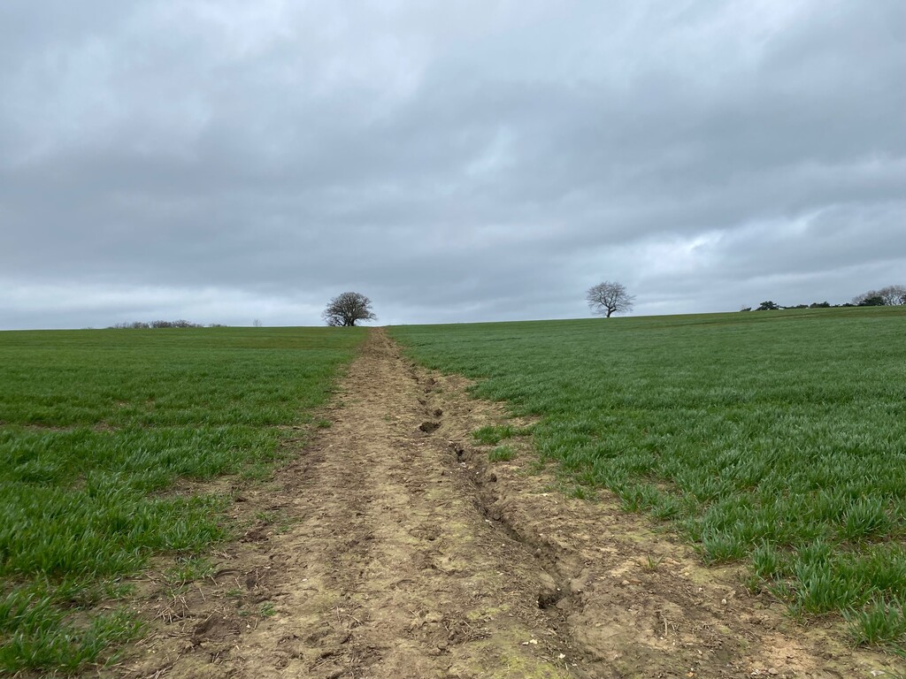
It was fairly easy to find the starting point of the GRW in Leighton Buzzard in the town centre. I took a few pics and set off at 10:39am. I was soon running along the canal and then turned right into a muddy river valley. I had not expected it to be this wet. The rest of the route was a combination of lovely little villages, fairly dry trails that were easy to run on, including lovely woodland trails; lots of fields, with very muddy patches and patches that looked like they had dried up but still had some sticky mud. I nearly lost a shoe in the mud twice, and once my shoe did come off. This was just before Northill, not long after I had made the observation that the trails had become drier the further I moved northeast. I was wrong! There were also several road crossings, including the A5, M1, A507 and A1. These were mostly easy to navigate, with bridges across the M1/A507 and A1. While it was a shame to have my lovely, quiet trail run broken up by big roads and lots of cars, the road crossings were useful geographical markers, which helped me to keep going.
Navigation was fairly straightforward and most of the run passed without issues. The route is well-marked and the GPS route on my watch worked fairly well, too, although it was not as accurate as it could have been (it was slightly off course in various places). The route markers were easy to recognise, with the green colour and the muntjac deer on it; however, the arrows on the route markers have different colours in different places. Some colours made it easier to see in which direction the arrow pointed. I found it difficult to see the blue arrows against the green background while running, which meant I had to go quite close to the marker to see in which direction it was pointing.
It was a blustery day but luckily it was mostly coming from the right direction for me (SSW). Going into the wind was hard work, though! The rain that was forecast to hit in the afternoon didn't really materialise, apart from a few drops here and there.
I had not set a target time for the route. The aim was to set a first female time and hopefully inspire other women to do the route. In addition, I wanted to keep running at a good pace until the end, which I managed, apart from Warden Hill in Everton (a local hill I know very well), where my legs could not keep going and I had to walk.
All in all a great day out. I ran the whole route unsupported, managed to keep running and keep fuelling, I mostly felt good, I spotted a few deer, and I got back home before 6pm.