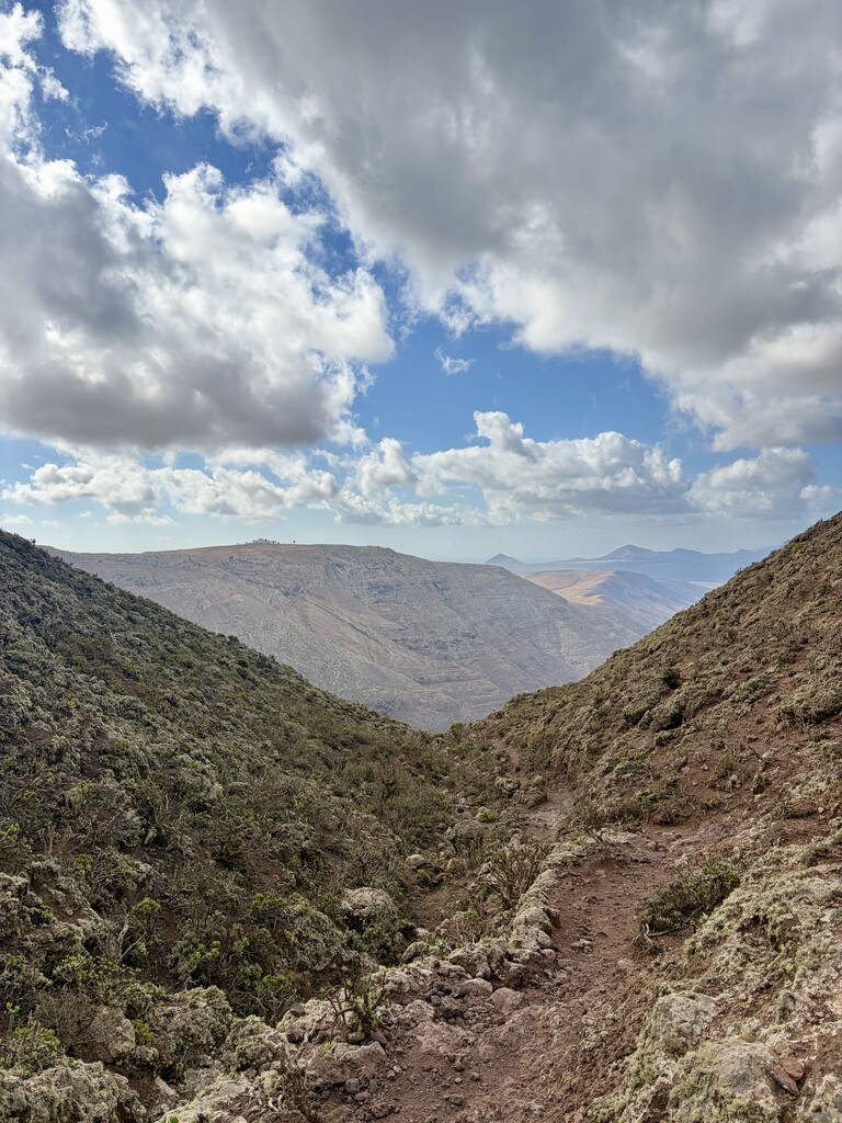
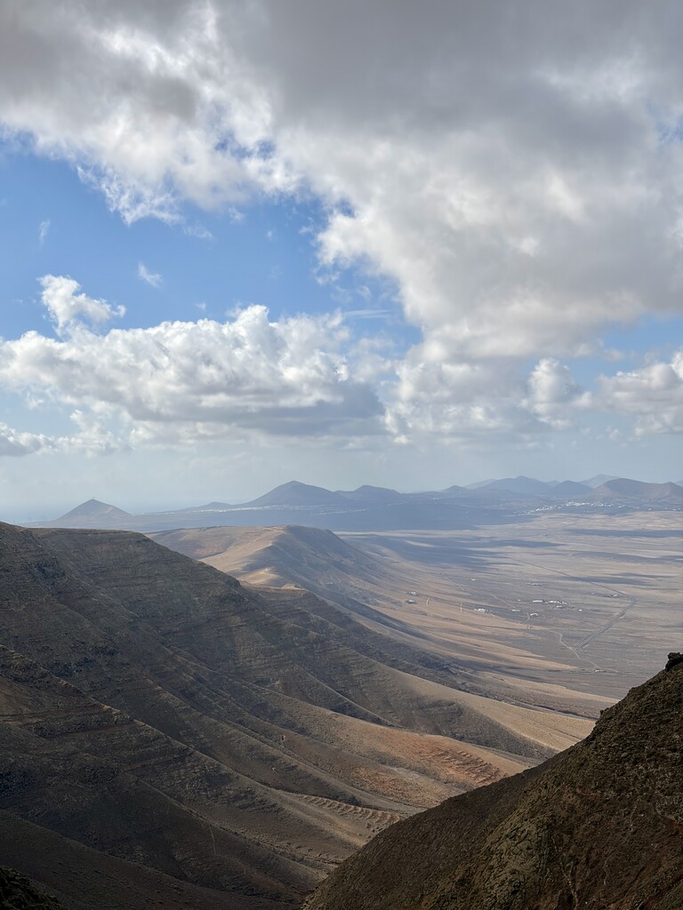
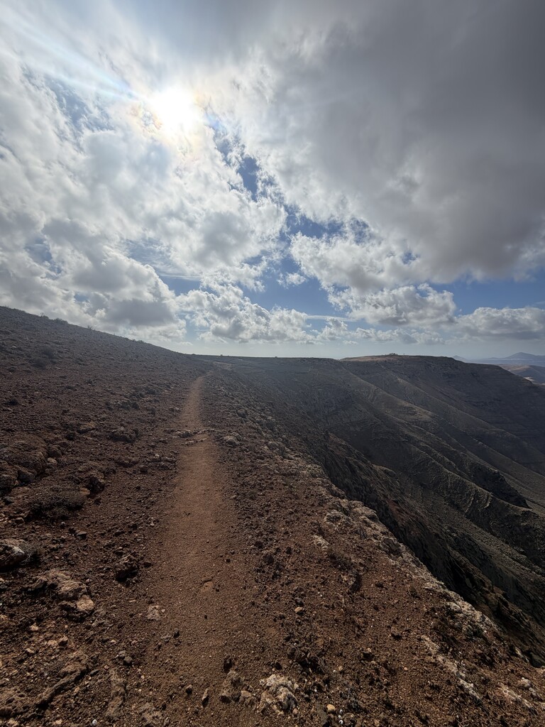
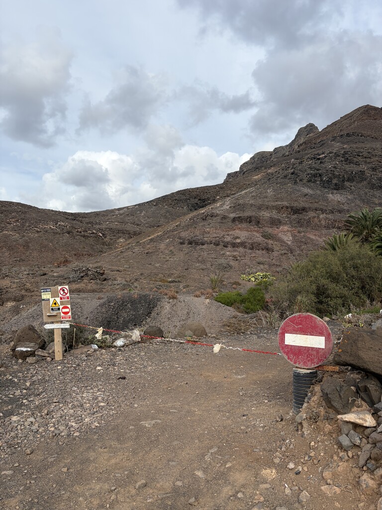
At kilometer point 14 I had to change the route slightly because the original path over the ridge goes through a prohibited area (photoproof IMG_1329) and also on other maps (I checked Komoot, Kompass & Alpenverein) there is actually no path. Since this is a protected national park, it would have been illegal to follow the original track. Nonetheless, I choose a path that is also marked as a real path and runs parrallel with the path of the 'standard' route.
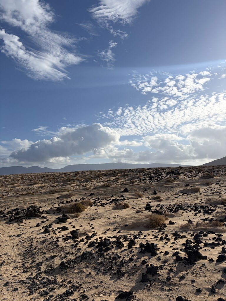
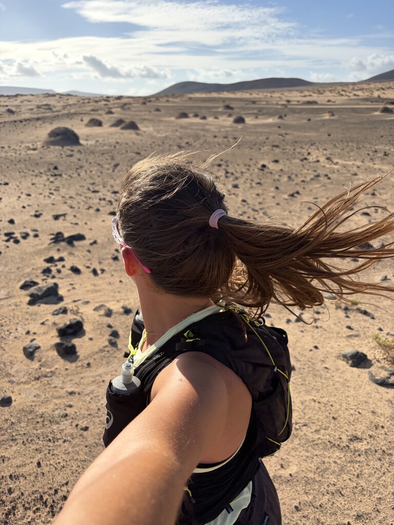
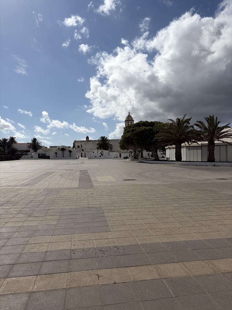
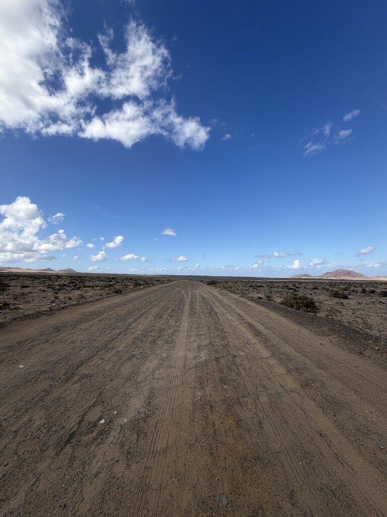
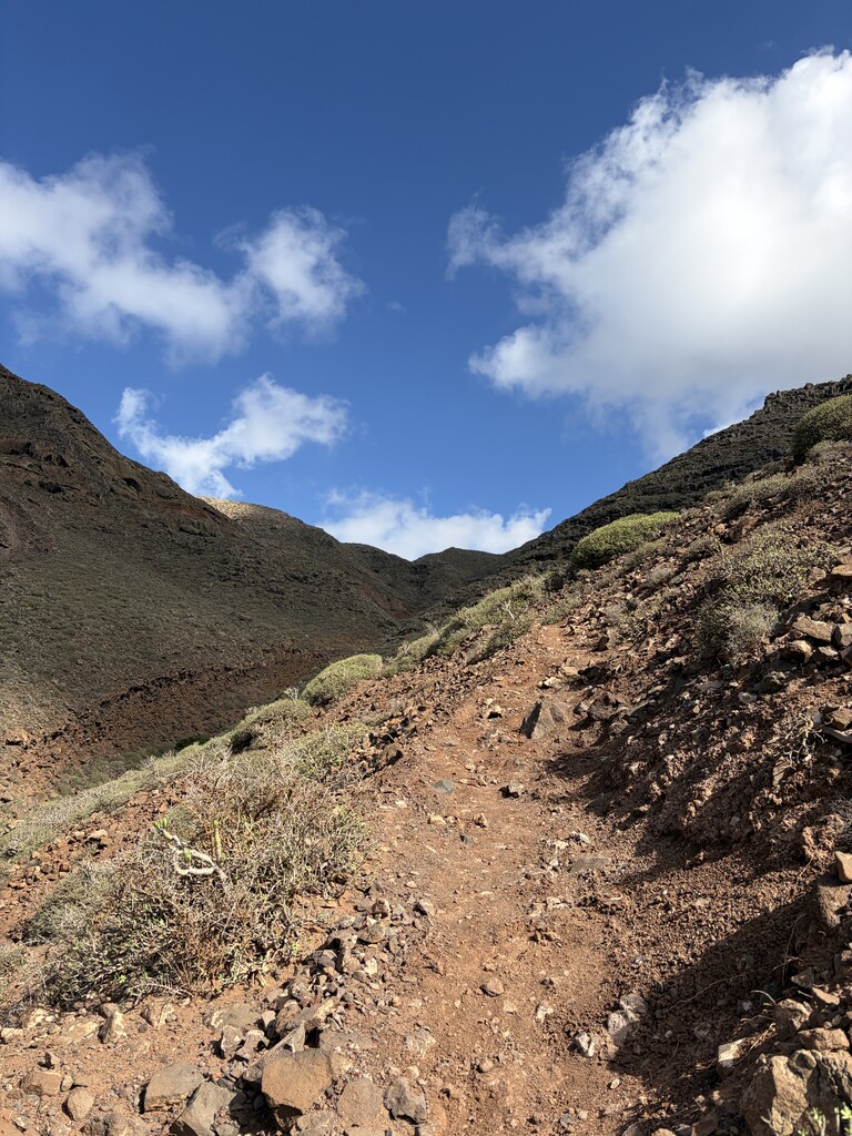
The route is beautiful, but the wind and no places of shadow makes it hard and everyone trying the route should be well prepared for these circumstances. If needed, I think you can buy water in the 3 villages you run through. I decided to do this FKT unsupported and had 1.5L of water with me.