Disclaimer: I haven't written a report like this since school so bear with me...
A couple of years ago I found out about a trail across Ireland called The Ireland Way, and so the spark was ignited and with my successful completion of the Green Ribbon in Sweden last summer, I figured I'd have a shot at it this summer. According to the official website for the trail, the fastest time when I was planning the trail was 36 days, and considering I'd already managed 1300 km in 38 days, I decided to go for it and beat the record. As an additional incentive, I only had enough vacation to just beat the record and get home before I had to get back to work, so I knew I'd had to do long days every day with minimal rest. Granted, compared to other records, my days are fairly mild, averaging at 42-44 km a day with the longest ones being in the 55 km range, but I'm just an average non-athlete IT-guy who enjoys hiking.
Anyway, I set out from Castletownbere, the southern terminus, with my gear, roughly 6 days of food, 3 bottles of water and a filter, and started my tracking at 11:32:45 UTC on July 16. The following 3 days turned out to be the hottest days in recent Irish history, with temperatures in the 27-30 degrees celcius range, high humidity and thousands of meters of altitude gain. Somehow, I have a knack for picking the hottest days to do stuff like this... Needless to say, the first days were rough, I wasn't making my required daily average and the temperature was breaking my will, so when the weather finally turned and the blessed rain and wind arrived, I was happy. I was still soaked, but at least it was cooler.
I steadily picked up the pace with the colder weather and despite some serious blisters I managed to catch up the lost kilometers in a couple of days, mostly due to the unfortunate fact that the trail after leaving the southwest coast consists of a lot of roads. And I mean a lot. The official website for the trail says it's roughly 50% roads, I'd say it's closer to 80%, with pretty much nowhere to rest due to hedges and fences bordering pretty much every road... The rest being constantly wet fields and farmland, with an occasional actual trail every now and then. My feet stayed wet for most of the trail, hence the blisters, thanks to rain, morning dew, and the fact that Ireland is covered in Blanket Bog. Nice.
The next couple of days I passed through countless small villages and communities, which allowed me to resupply food and eat at the occasional pub or restaurant, as well as the opportunity to enjoy the luxuries of modern indoor plumbing. I'd filter water when I came across an accessible stream, which wasn't always easy due to fences and walls, or fill it up when I passed a pub or had the chance to ask a local for some water refill. Most of the time I kept my food carry to a minimum to get to the next store, which was around 3-4 days of food, but towards the end when I was passing through a town or village with a shop every day, I just carried enough to get me to the next store. Except for a couple of beers and some food offered by trail angels, I bought everything on my own, walking to and from stores to resupply.
I managed to keep to the trail as provided by the Hiiker App for most of the way, I'd say roughly 98%, but there were times when it was simply not possible.
Certain parts of the trail were so badly overgrown and untended that it was impossible to pass through. There were certain areas, mostly along the Ormond Way stretch of the Beara-Breifne Way, where the landowners had blocked off sections with gates, barbed wire and electrical fences. I had one day when I had the shits real bad and just didn't trust my body enough to climb stiles and walk in wet muddy fields, so I walked beside them, and a few occasions where the trail was unmarked and hard to follow, at which point I would try to find the safest route back to the trail. In other places the trail was rerouted, and I when I came across these I followed the newer route. I did miss a few signs along the way, which I only realized later on, but of the 1009 km according to the Hiiker App, I somehow managed to walk 1063 km, so I wouldn't say I took any shortcuts.
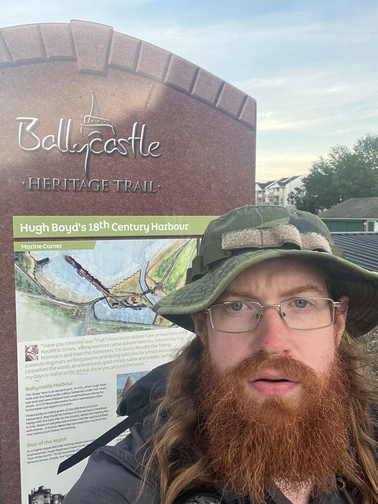
After completing the Beara-Breifne Way in 17 days, 4 hours and 44 minutes, I decided to up the pace for the last stretch, and averaged 45-55 km a day over the next week, reaching the northern terminus in Ballycastle at 19:53:00 UTC on August 9.