I completed a SOBO unsupported FKT on the Superior Hiking Trail in 7 days 3 hours 22 minutes and 0 seconds from 7:16:29 am Thursday 7/24/2020 to 10:38:29 am on Thursdays 8/1/2020.
I was not supported in any way and did not resupply. All water was drawn from natural sources.
Poor weather, mistakes, bad decisions and injury led to low mileage the first 5 days but I slept only 2 hrs the second to last night and none at all the last night to make up lost time and pulled it off!
Daily Report:
9/24 thurs
270 overlook to w fork kadunce river campsite
39.5 miles
9-25 fri
Fox in the morning
Slow- blisters on arch of leftfoot
Warm and foggy
Hard rain and lightening at 630pm
Camp at w Agnes lake
41.7 mi
9/26 sat
Walked half a mile plus in the wrong direction in the morning.
Saw a fox in the morning
Raining in the evening
Camped at Crystal creek
37.7 mi
9/27 Sunday
Walked 1.5 mi in wrong direction by accident again
Saw a saw whet owl while night hiking in the rain to East Pallisade campsite
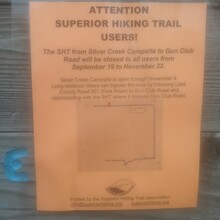
Short roadwalk alternate: "Reeves Road to Lake County Road 301/Fors Road: The SHT from Gun Club Road to Silver Creek Campsite will be closed to all users from September 19 to November 22. Silver Creek Campsite will remain open through November 6. Long-distance hikers can bypass the area (heading northeast-bound) by following Gun Club Road to Lake County Road 301 (Fors Road) and reconnecting with the SHT at Lake County Road 301 Trailhead"
40.1 mi
9/28
Monday
5:20 start
Excruciating ankle pain almost knocked me off the trail- I was going very slowly in the morning and wincing in pain every step but although my ankle was very swollen, the pain lessened by the afternoon after soaking it in a cold river.
Camped by gooseberry river
30.7 miles
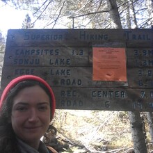
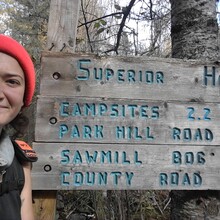
"Lake County Road 6 to Lake Country Road 7: The boardwalk over the beaver dam at Sawmill Creek Pond has failed and will be removed and replaced. Construction to replace the boardwalk will begin September 22, 2020, and a short section of the Trail will be closed for trail user safety. Please follow signage to use a temporary roadwalk detour on Park Hill Road and Lake County Road 6 This closure does not impact trail users heading to the Section 13 cliffs or campsite from Lake County Road 6." -SHTA
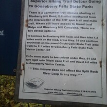
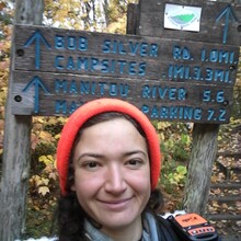
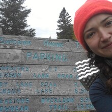
Detour from Split Rock to Gooseberry River- see photo of signage. I took the second option.
9/29 Tues
Stopped and slept for two hrs a couple miles before Fox Farm Pond
Approx 50 miles
9/30 Wed
No sleep Wednesday night
"Enger Park to Rose Garden: The City of Duluth has continued to work to restore the Duluth Lakewalk area from the Aerial Lift Bridge to Endion Station due to storm damage sustained last fall. The route of the SHT through the area follows the temporary reroute of the Lakewalk while construction is underway. Refer to the City of Duluth’s updates on the project for the most current status."- SHTA
9/1
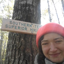
Finished at the Southern Terminus at the MN/WI border at 10: 38:29 am
Approx 70 mi since Tues morning

