

It was a beautiful cold and crisp October morning. Just after WNC’s first high elevation snow of the season. Under starry skies at the trailhead I burned some palo santo, and asked the mountains for safe passage before starting. Connecting with and respecting nature has never seemed as important as it does these days. As the world sucks resources from our environment ruthlessly, plows roads deep into the backcountry, and builds these heinous data centers. The disrespect is saddening and natural disasters such as Helene seem like such an obvious effect. So I choose to show nature every chance I get, that I respect, cherish, and care for it.
After a relaxing hike up to Mount Pisgah I started Pitchell at 3:12am. I cruised the shut in portion of the route, at first gunning for Kyle’s supported times. After about the first hour I backed off knowing that I wasn’t going to keep that up. I started with 4 bottles, finishing them all by the bottom of Shut-In. I filtered one bottle after bent creek gap and I pretreated a liter platypus bottle before getting to bent creek. I quickly stopped at bent creek and filled the liter platypus and filtered 1 bottle, and another bottle while walking to the road.
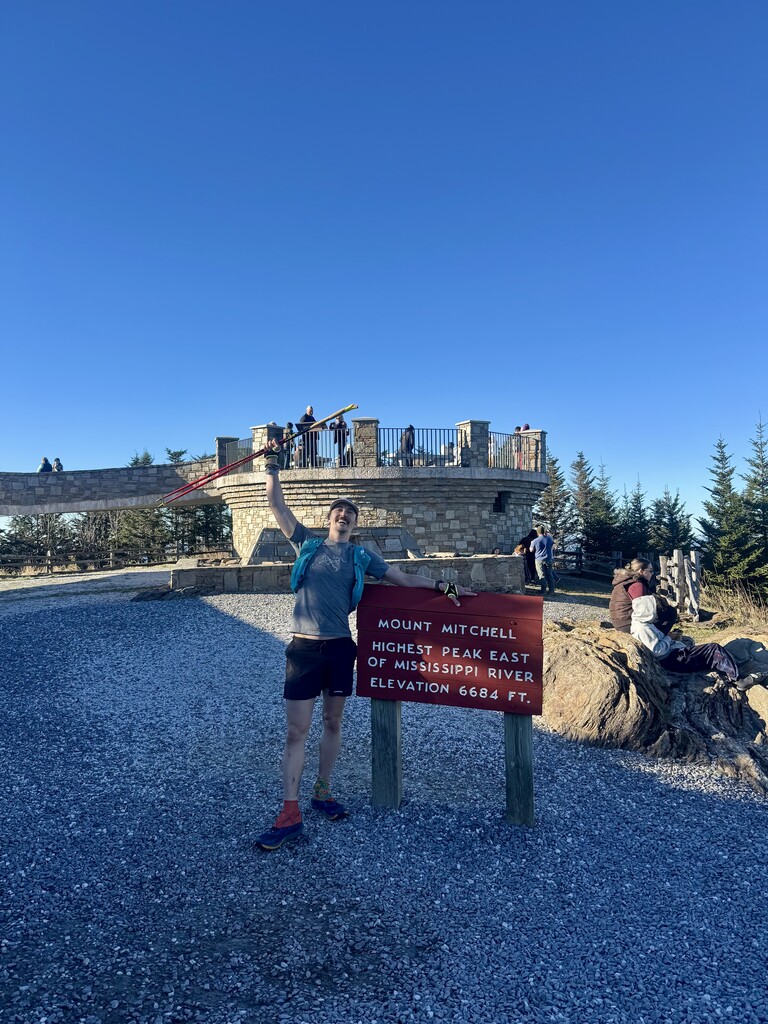
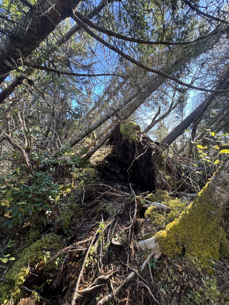
I crossed the French broad and settled into the very runnable middle section of the route. This was the crux for me as my legs were already feeling fatigued and I knew the hardest parts were coming. I fought out doubt from mile 21-30 forcing as much running as I could. Quitting wasn’t an option baring injury, because the C goal was to finish regardless of time. I broke through that first wall about the time I got to FAC. Taking in my first caffeinated gel of the day and unloading my trash at the parking lot trash can. From here the climbing begins gradually and gets more technical and steep as you go. At rattlesnake lodge spring I filled 3 bottles while walking and pushed over Lane. The damage from hurricane Helene is wild through this final 1/3 of the route and it was a humbling reminder of the destruction from that storm. Albeit this section also has so much beauty and a few more views since the canopy loss from the storm. Passing Craggy picnic area I threw away trash one last time and kept pushing to my final water fill at an old spring under craggy dome. Where the trail spits you onto pavement before climbing to the parkway (Happy to share location). I filled three bottles and kept moving. This section had lots of people at all the parkway crossings and I stressfully pushed through crowds at every overlook. The last section climbing up and over blackstock is by far the hardest part of the route. I willed my legs to shuffle the ups and did everything to jog the downs. The technical nature of this section is enjoyable though and kept my mind focused on the trail rather than my fatigue. At this point the trail is deep in the alpine spruce/fir forest and the moss cloaks the ground, it’s truly a magical place. Keeping the stoke up I finally made it to buncombe horse trail for the final push. Forcing as much running as I could along the old toll road section I gunned for camp Alice trail. It was a slog up to Mount Mitchell but I gave it all I had to break 14 hours. Snow lined the trail before spitting me onto the final paved path to the summit. Squeaking under 14 hours in 13:59:46. Grateful for my partner Emily waiting for me at the summit with pizza in the car.
What an amazing day.