Athletes
Route
Route variation
Up & down 16km
Multi-sport
No
Gender category
Male
Style
Unsupported
Start date
Finish date
Total time
3h
26m
40s
Verification
GPS track(s)
Mount_Anne.gpx810.22 KB
Report
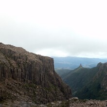
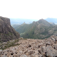
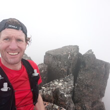
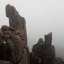
Cloud blew in on top (not great timing to hit the summit!) otherwise good weather with only a bit of wind, and some stunning views. Some time spent locating the route up (and down) the final ascent (had been 15 years since I hiked up here) but otherwise made good progress with ~ 5mins for photos. Not much water except for the odd small tarn, so I carried all I needed. Boulder fields seemed to go on for ever.
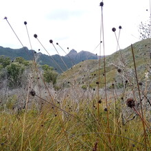
Stunning part of the Tasmanian wilderness.

