
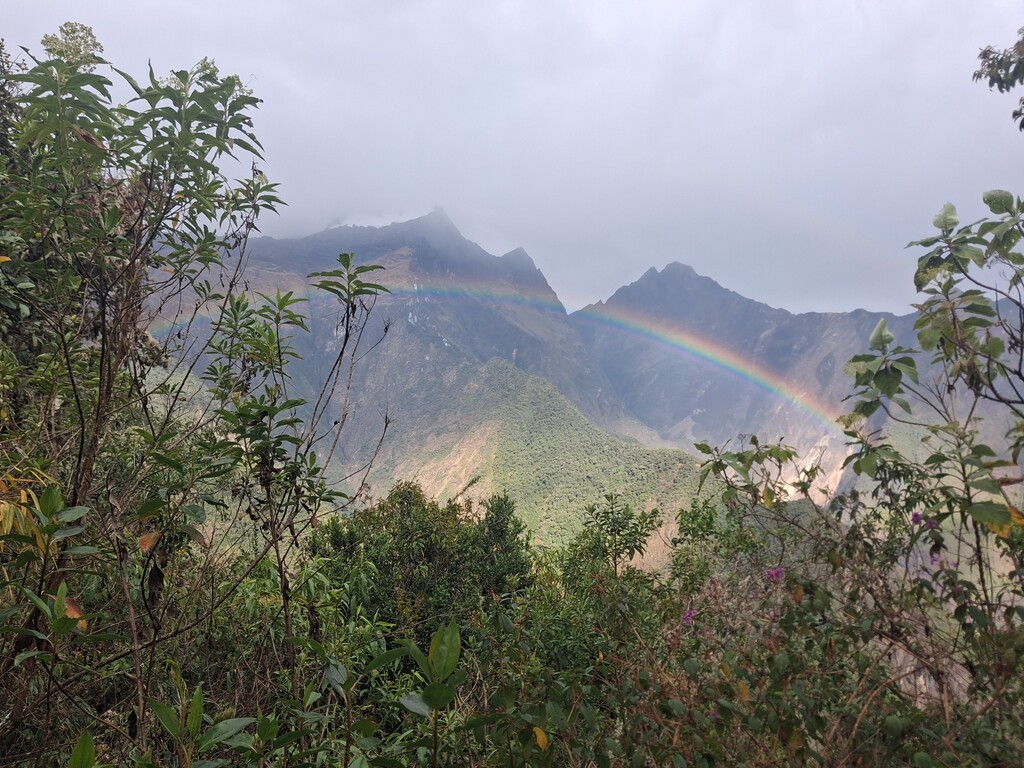
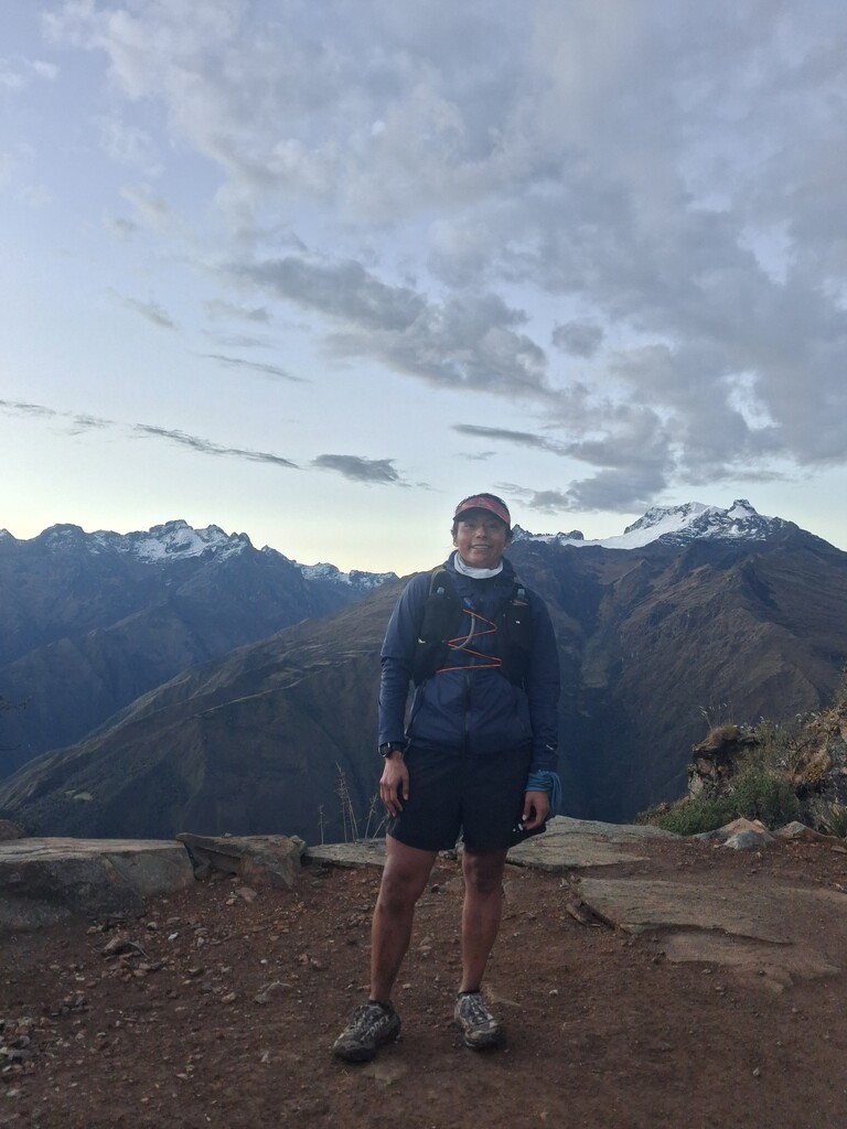
This route has been a journey of immense learning in every sense.
Initially, I was set to start on Friday the 11th at 10:00 PM from Capuliyoc. However, a storm raged through part of the night, making me fear that everything was lost. Fortunately, by 5:30 AM on Saturday, the sky cleared slightly, and I saw my window of opportunity to go for it.
The first section of the route up to Choquequirao was familiar to me—a long descent followed by a massive, grueling climb. I reached Marampata, where the lady at the refuge prepared a packed lunch for me. I refilled my water, grabbed a soda, and headed toward Abra Choquequirao, passing through the archaeological site. First pass, done.
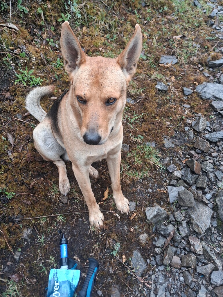
The ensuing descent to Río Blanco is technical, narrow, and incredibly long. There, I refilled my water using my filter and started pushing uphill toward the second pass. Halfway up, there is a refuge where you can buy water, soda, and biscuits. It requires a 20-minute detour from the main trail (there is a signpost on the path), but it is absolutely worth it. From that refuge, you can continue climbing to rejoin the main route. Just as I was leaving this spot, a dog started accompanying me and stayed with me almost all the way to Abra San Juan. Near the top, I met two guys who hiked down with me nearly to Yanama; they told me they were just exploring the area.
I arrived in Yanama at 7:00 PM. At the Flores refuge, they made me dinner and coffee. I filled up my hydration bladder and my four soft flasks. I wrapped myself in an emergency thermal blanket, pulled a pair of pants over my shorts, and added an extra layer of windproof waterproof pants. I did this because the climb to Abra Llamoca was next, and I was terrified of freezing, given that I would be starting the ascent at 7:30 PM on Saturday night.
The path to this pass is an endless, winding switchback dirt road. There are small shortcut trails that cut through the switchbacks, but it was pitch black, and I couldn't spot them by eyesight. I decided to play it safe and stick to the main dirt road, even if it took longer. Earlier, when I tried taking one of those shortcuts, the GPS led me to an edge where I almost fell into an abyss. I literally had to sit down and grab onto branches and plants to scramble my way back out, which is why I chose to stick strictly to the road. The wind was fierce, and the cold was biting, but I made it to the pass under a breathtaking canopy of stars.
The descent from this pass, however, was my absolute ordeal. It felt never-ending. The GPS indicated shortcuts to bypass the switchbacks, but I refused to risk it—alone at night, descending steep trails on the edge of a cliff... no way. The descent dragged on forever until I finally reached what looked like a lodge and realized I was almost through. Eventually, the trail merges with the one coming down from Salkantay. I passed through this area around 5:00 AM, and luckily, a shop was already open where I refilled my water.
From that point to Lucmabamba—the start of the Llaqtapata climb—it is 7 km. These felt incredibly long because I knew I was so close to finishing. The final climb to Abra Llaqtapata took absolutely everything out of me. I had to sit down three times just to rest and catch my breath, partly because my throat was a bit swollen and inflamed. When I finally summit the pass, I broke down in tears; I knew it was the final stretch—just one descent and a flat section to Aguas Calientes.
Unfortunately, I couldn't descend quickly. On the way up the pass, my ankle became badly inflamed. To protect it, I decided to take the descent easy and save my running for the flat. However, once I reached the flat section from Hidroeléctrica to the town of Aguas Calientes, I couldn't even run. My ankle throbbed with every walking step. I had to power-walk those final 10 km, pushing to move as fast as possible. To make matters worse, my watch died right as I reached Hidroelectrica, and my phone died 5 minutes later. I only took three photos the entire time to save battery because whenever the watch GPS made me doubt the route, I had to consult the Maps.me app to navigate.
I arrived in Aguas Calientes and went straight to my hotel to charge my devices and take a shower. Fortunately, a friend had brought a backpack with clean clothes for me a few days prior.
This route is brutal. It features four high-altitude passes with a massive vertical gain that completely tests you. This was my third attempt, and I finally conquered it. In 2022, I attempted this route with friends intending to do it in two days, but I fractured my ankle at kilometer 3. In June of this year, I tried again but fell ill at Marampata and had to stay behind to rest. Being able to finish this route means the world to me, and even more so, establishing the first FASTEST KNOWN TIME.
The total kilometers my suunto marked where 124km, cause from the point where I was at Hidroelectrica to Aguas Calientes it was 9km.
I arrived to Aguas Calientes at 12:24pm.